#SD2KW, Day 13, Picacho Peak to Tucson, 54 miles | To and Through Tucson

Riding Stats

Accommodations

Route Tracker

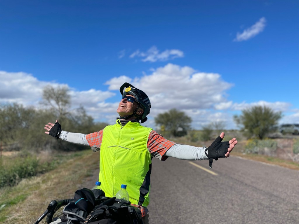
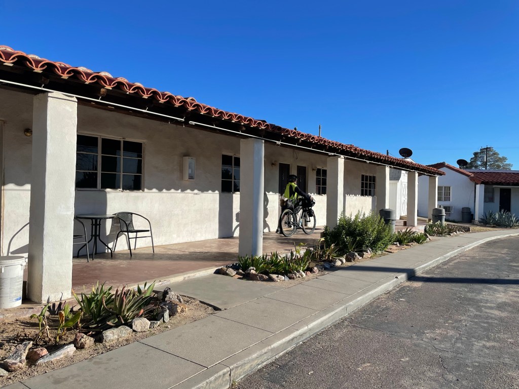
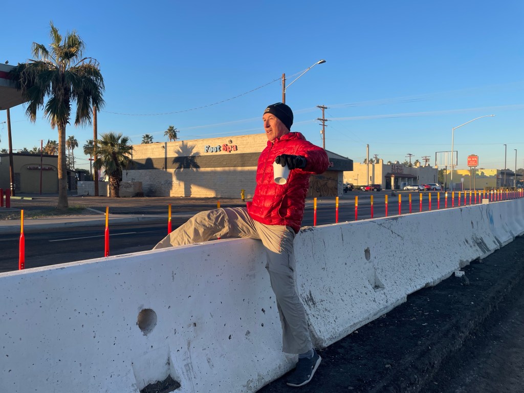
We left Picacho State Park all bundled up. It was chilly! But as the sun came out, the layers came off.

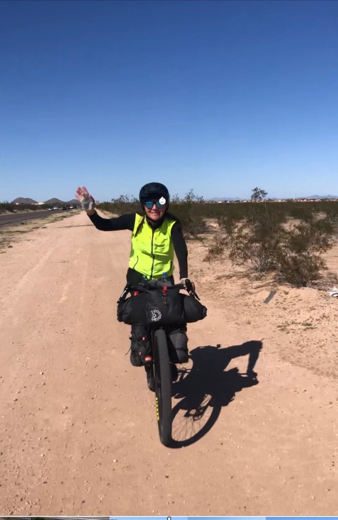
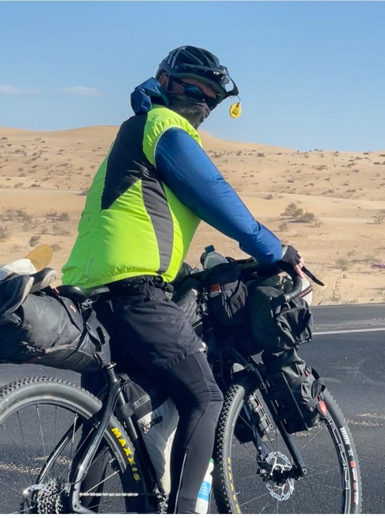
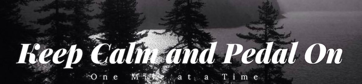
A seventeen mile ride on an I-10 frontage road kicked off our day with a relatively flat, little travelled road. As has been the case, there was a bit of headwind but it was less than 10mph.

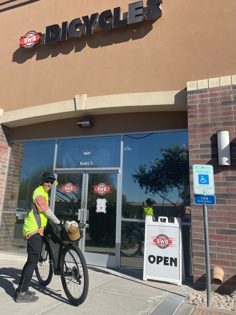
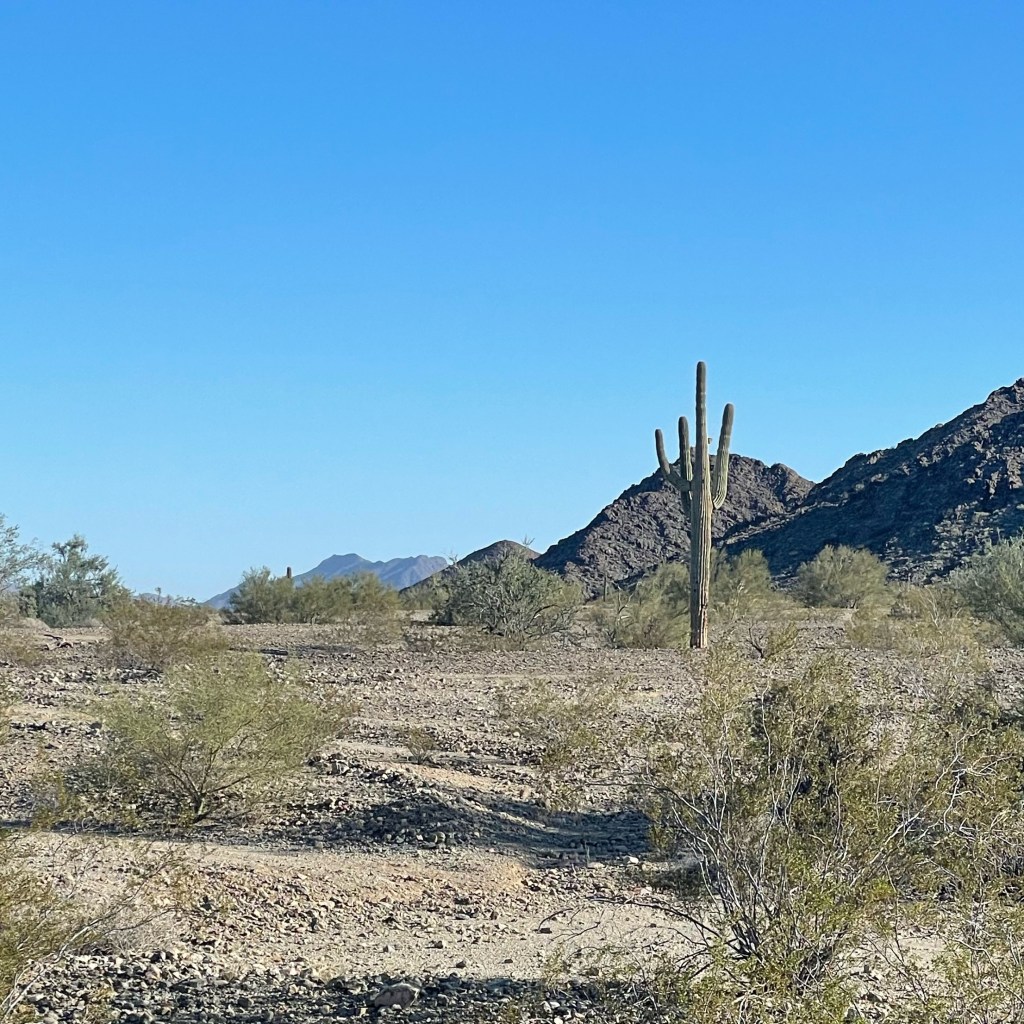
Then we hit The Loop just outside of Tucson. It still amazes me that a cyclist can ride through a city on bike trails. Such is the case with Tucson. We visited here back in 2018 and knew we wanted to return. Little did we know it would be on our Cuttys on a cross country ride.

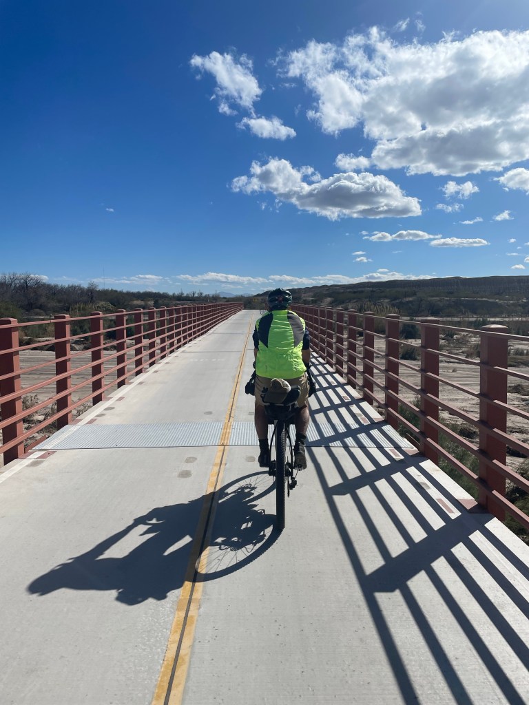
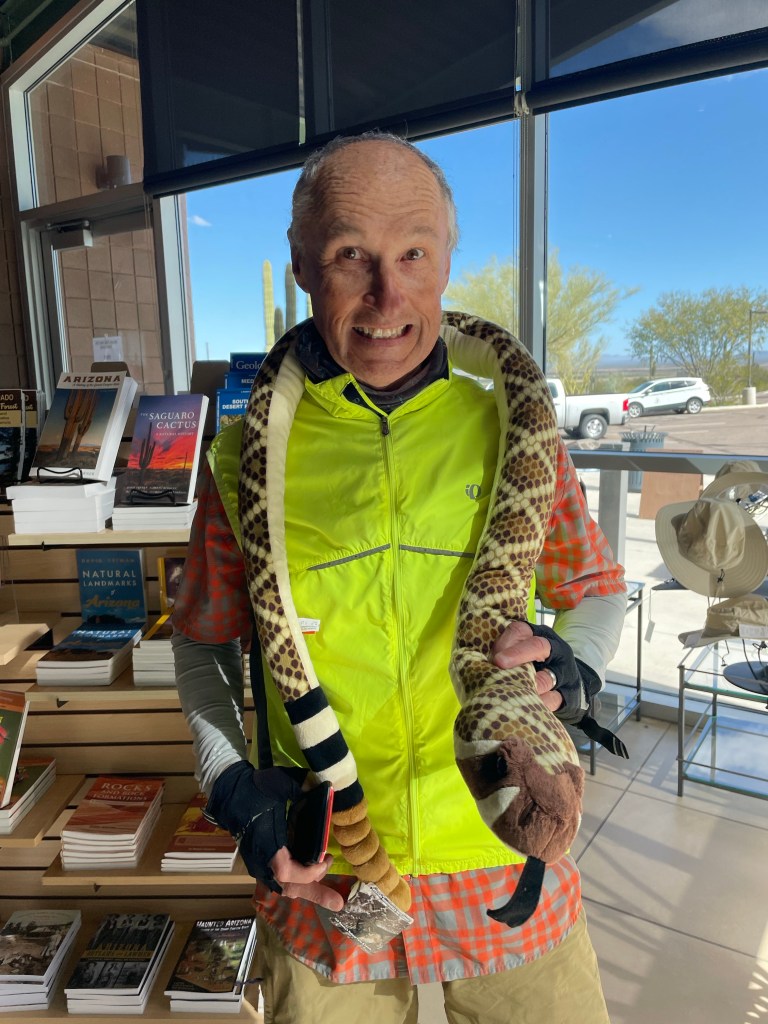
We stopped at a local brewery on the way to the campsite having put our 50 miles in early. Breweries are a great place to meet locals and learn more about the area.

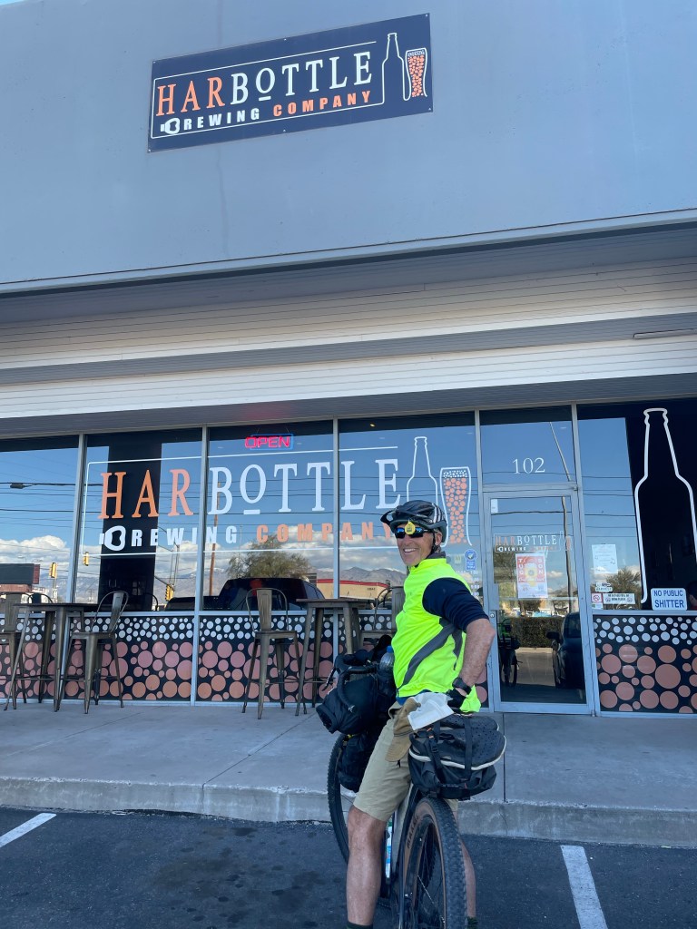
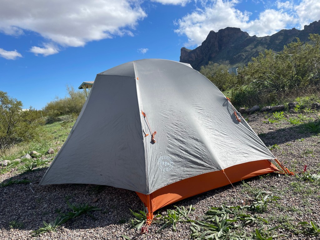
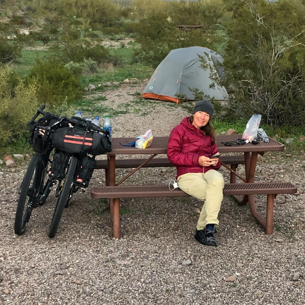
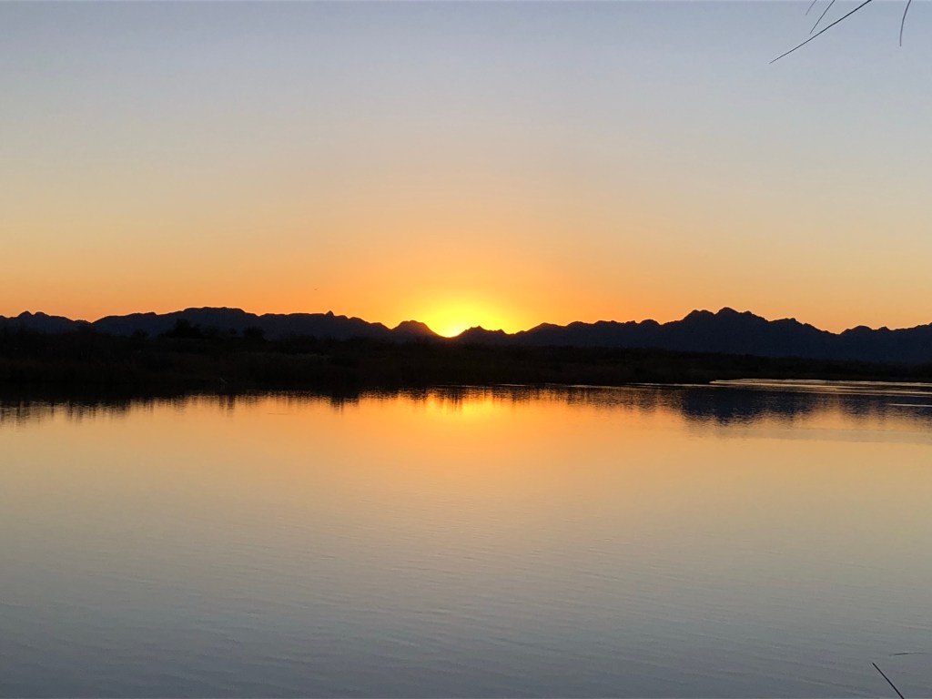
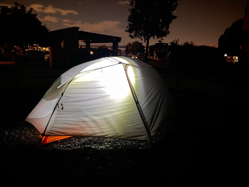
But the real schooling came when we arrived to our campsite. Dang we’ve never seen anything like this KOA. Grapefruit, orange and lemon trees everywhere. Pick what you want and eat. They have a hot tub, pool, pickleball courts. There is a sink, small pavilion (with an electric light), picnic table, soft tent pad and fire pit at every tent site. It’s mostly for RVs but there a few tenters. Check out the vid for pics. Our needs are significantly less than this but it was so much fun to experience. And their service and hospitality were 💯

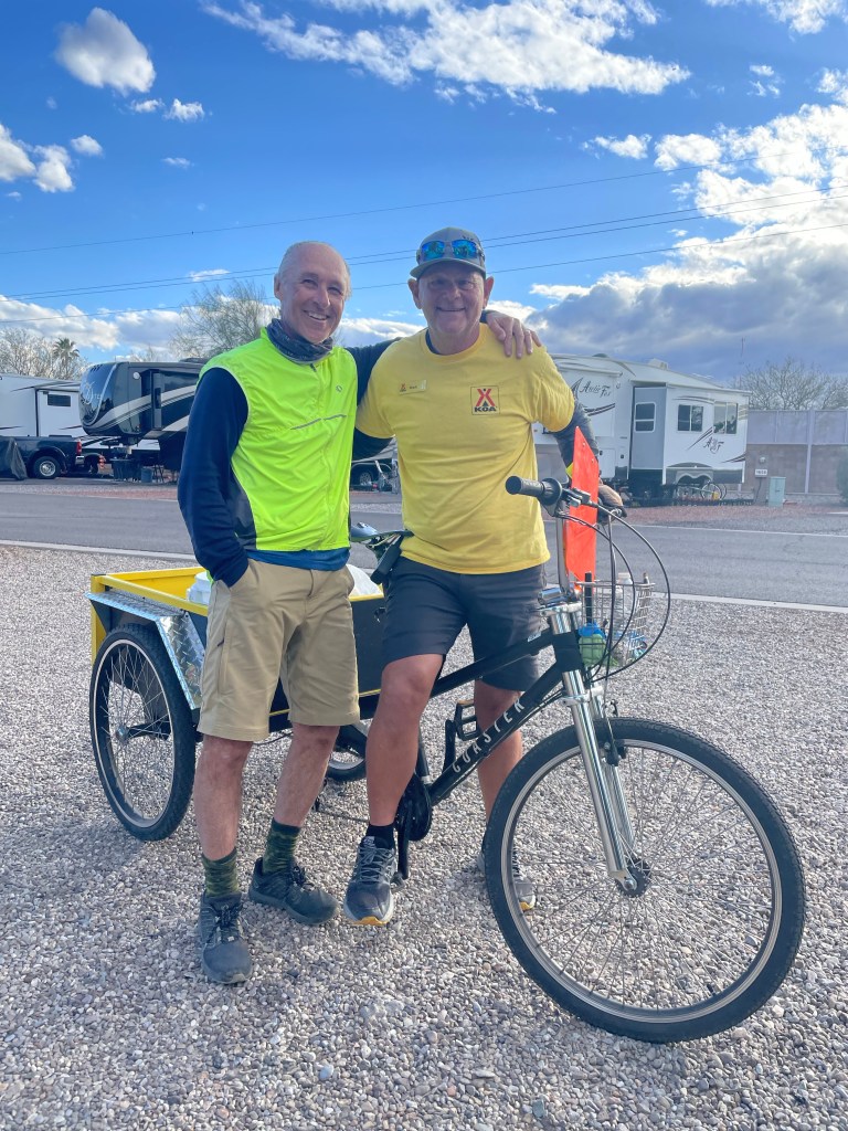
We met Mark who works at the KOA. He rode Southern Tier a couple years ago and signed up for the Stagecoach 400 in March. Go Mark!

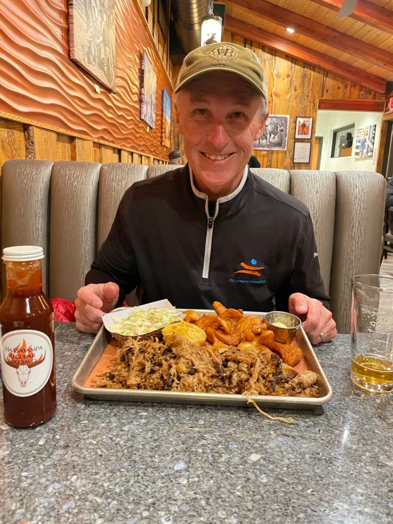
After eating dinner (we were so hungry), Tom said “I don’t know if I’ve been any happier. I asked you mean ever in your life or on this trip?😂 Whodathunk? A restaurant in an RV park? The food was amazing!

On to more important things… apparently a second grade class at my alma mater St. Pius X Catholic School has been learning about our ride.😊 Josie wants to know what we do if it rains. 😊

Josie, think for a minute on your own about what we need. Then “turn and talk” to your neighbor (if it’s ok with Mrs. A and Mrs. W.) What did you come up with?

If it’s sprinkling we keep riding! If it starts to rain harder we put on a rain coat and waterproof gloves. If there is lightning we stop immediately and find shelter. Lastly we always make sure cars can see us in the rainy weather by wearing bright jackets and having our back bike lights on. So far we have been lucky and haven’t had any rain except at night when we aren’t riding. Have a happy day in school!

Lights out early for us as usual ‘cause guess what we get to do tomorrow? Ride bikes! 🚴🏼‍♂️🚴🏼‍♀️

Click on the image below to view more pics and vids:

#SD2KW, Day 12, Coolidge to Picacho Peak, 35 miles | Worth the Wait

Riding Stats

Accommodations

Route Tracker

Besides taking in the football games in Coolidge we had another reason to ride a couple short days. We really wanted to visit Picacho (spanish for “peak”) Peak State Park. It was worth waiting for.

After a leisurely morning at the Grand Vista Motel we headed south toward Picacho. Heading out of town I kept noticing harvested cotton fields. Apparently that’s a huge cash crop for Coolidge. Who knew?

Every now and then we would just stop, take it all in and give thanks for everything, not just the sunshine but our faith, families, friends and each other.

Easy ride today that ended on a well paved frontage road next to I-10 with a stop at DQ and a quest for fresh fruit at the store next door. We didn’t find any apples but Jesse who rang us in for peanut M & Ms (‘cause they are like apples right?), threw in a free box of popcorn and said, “Keep making memories together.” Thanks Jesse… I strapped that to the front of my bike and we enjoyed it after our evening walk while watching the sun set.

Once at the state park we stopped in the Visitor Center, played with snakes and talked to a couple rangers about their wildlife cam and the park.

They were a bit surprised we’d be overnighting in a tent (getting down to 36 which means chilly pack up in the morning).🥶

If we’re ever back in the area we will stop here at Picacho State Park again. There’s a hike here that’s calling our name – and someone else we know. John, that’s a nod to you.🥾⛰️👀

Grateful for these trusty bikes as well! Salsa Cutthroats. 🌶️🚲🚵

Click on the image below to view more pics and vids:

#SD2KW, Day 11, Apache Junction to Coolidge, 42 miles | Game Stop

Riding Stats

Accommodations

Route Tracker

Game Stop. And I don’t mean the meme stock. 😂 Two playoff games gave us a good reason to stop early, get a bevvie and pizza and do some route planning.

Another beautiful day weather wise. We finally “found our warm” in Coolidge.

By far the best part of our ride was getting off road for five or so miles. It gave us little reminders of our border to border Great Divide ride in 2021. No traffic. Off road.

We had three shouts outs that made us smile today.

1️⃣ The hostess at the KOA bought us coffee when she found out we were riding to Key West. She said we were her heroes.

2️⃣ Then we were riding through Queen Creek and a young guy in his car gave us a “heck yeah”, kept hollering and took video of us riding by on his phone.

3️⃣ Finally a road cyclist rode up by us at a stop light and asked us where we were going. When we said we were headed to Key West and he said “No $hit? Are you on Strava? I want to follow you.”😂

All in good fun and keeps us smiling. That, and warm temps. Coolidge hit 70 degrees today! We remain… in search of sun and warmth.

Click on the link below for more pics and vids:

#SD2KW, Day 10, Peoria to Apache Junction, 60 miles | Heading Off Route!

Riding Stats To Tempe | To Apache Junction

Accommodations

Route Tracker

Today was an urban day as we made our way through Peoria, Glendale, Phoenix, Tempe, Mesa and to our destination, Apache Junction. Here’s a screenshot of Google maps from my phone to give you an idea of the intricacies of navigating through a cluster of towns and a major metropolitan area.

The Phoenix area has a remarkable network of extensive bike trails and bike lanes that provide bridges and underpasses for cyclists and pedestrians. Oh if only the Monon had these back in Indy.😌

We don’t use Google to find our way but instead use a Garmin device made for bikes on which digital maps are loaded that we purchase from Adventure Cycling Association. There are seven Southern Tier maps (plus one down the Atlantic Coast we are using to get to Key West). Today we finished our first map as we entered Arizona State University in Tempe.

In addition to the digital maps on our Garmin which gives us turn by turn directions, we also have the paper maps that offer options on camping, stores, restaurants, and well duh … there are maps.

I say all this because this afternoon when we finished our first Adventure Cycling map, we are totally going off route because of the frigid temps up north. Bummer we will miss Emory Pass and visiting Silver City again. Not a bummer to miss frigid temps and possible snow at higher elevations. So for the rest of Arizona and all of New Mexico we are sans map.

Fellow bike travelers Mike and Sue did the same in early 2019 on their Southern Tier tour and have shared their bike itinerary with us. Check out their blog – they have cycled the perimeter of the US and they bring their bring their ukuleles. How cool is that? Thanks Mike and Sue!

Our stellar ride today ended in a KOA with fun neighbors, Buster and Jolly and their dog mom Collette who is traveling in her VW Beetle.

She’s written a book about her journey entitled “Be That Person.”

Just based on the van she drives and her choice of doggos it’s probs worth the read.

Thanks for following along, and for the prayers and the encouraging words as we continue east in search of sun and warmth. Our legs and cardio get stronger each day!

Click on the image below to view more pics and vids:

#SD2KW, Day 9, Wickenburg to Peoria, 50 miles | Cactus Cruise

Riding Stats

Accommodations

Route Tracker

Had to stop our ride a little short since we had an appointment at Southwest Bikes to get a new bike tire. Yes we stopped in Peoria. No, it’s nowhere near Illinois. 😂

It’s a really cool town on the western side of Phoenix (where we ride through tomorrow). And it’s set up nicely with bike lanes and bike paths.

Today was a MOST pleasant day to ride along Highways 60 and 74 on the wide shoulders amidst hundreds of cacti with mountains in the background. The sun shone. All. Day. Long.

What a super easy day to ride mostly downhill on a FriYay! 🥳

Click on the image below to view more pics and vids:

#SD2KW, Day 8, Salome to Wickenburg, 54 miles | Ground Hog Day (but not really)

Riding Stats

Accommodations

The day started out as most every other day with push-ups, planks, prayers and breakfast (grits for me and oatmeal for Tom). Loved the wall art and vibe of our cafe breakfast place.

We got on the road and our usual friend showed up (the head wind) and just 15 miles down the road, another flat tire. Same bike. Same tire. This place wasn’t as nice to change a flat as the day before as we were now in the scruff off the side of Highway 60.

This little wire is what took out Tom’s tire.

Faithful in all circumstances and knowing we’d figure it out together, we continued cycling toward Wickenburg, taking it a mile at a time and me mostly hugging the back of Tom’s bike to hide from the wind and watching his back tire hoping it would hold air. A quick lunch and phone call to a bike shop and we were off.

About 15 miles from town, we began to notice the wind stopped! And we had a scenic downhill ride all the way into Wickenburg. Yee Haw! 🤠

The day gets even better with a stay at a Best Western right next to the best Bar B Q we’ve ever eaten at Hassayampa Bar B Q.

As we were tearing into our food (the way most hungry cyclists do) I kept hearing a familiar voice from the adjacent table. Turns out it was Trace Adkins.

After he left the restaurant we asked owner John who the patron was and he confirmed it was Trace. John (a former long distance runner/cyclist who now ropes at rodeos) then let us know he and his brother Chef Michael and their pops just bought the restaurant.

Same start to the day but what a different ending from a week ago when we were eating chicken ramen in a dinky hotel in the middle of nowhere.

And hey if you’re ever traveling this way, Wickenburg, Arizona is a cool rodeo town with exceptional Bar B Q. Surrounded by mountains, there’s lots of outdoor fun too. So plan a stop!

Click on the image below to view more pics and vids:

#SD2KW, Day 7, Quartzsite to Salome, 39 miles | To Tube or Not to Tube?

Riding Stats

Accommodations

As you remember yesterday, Tom’s bike tire picked up a nail that not only punched a hole in the bottom of the tire but perforated the tire’s sidewall. He plugged it and it seemed to hold as we started out. However as we cycled northeast toward Salome, the tire was going flat again.

We don’t carry extra tires, just bike tubes soooo – Tom put a new bike tube in. There are worse places to do bike repairs though. Look at the blue skies and palm trees.

Typically we use “tubeless” tires with sealant, meaning there are no bike tubes in the tire. (Like automobile tires) If the tire gets punctured the sealant repairs the hole instead of the tire going flat. We’ve never had a tire that didn’t “mend”. However we carry spare tubes just in case. That was the case today.

Once repaired we continued on grateful for sunny, blue skies and lots of cacti sitings.

Since we got a late start and were delayed during the day because of the tire we stopped in Salome. So glad we did as we met Carol and her husband Coop who were married at the buoy in Key West (our destination). We promised to celebrate and send them a pic when finished.

We “moteled” it tonight as temps are below 40 degrees again. When is the last time you paid $50 a night for a room? It has its little idiosyncrasies- like ya gotta get up in the middle of the night to flip the heater switch if ya want heat. But it’s probably the best hot shower we’ve had yet and it felt so good after being out in the chilling wind all day.

Interesting side story. Supposedly Salome was founded with the intention of becoming the next “Las Vegas” as Highway 60 runs right through it. Motels, cafes, dance halls and restaurants were built. About the time the last hotel was built, I-10 was completed nearby. The town is now home to just a little over 1,000 people.

Inn keeper Jeff and his wife are offering the property for sale for $500,000. With just 20 rooms and across the street from the Cactus Bar it has potential for a husband and wife side gig. I think Tom and I will pass and keep riding east although the Cactus Bar is 💯

Click on image below to view more pics and vids.

#SD2KW, Day 6, Palo Verde to Quartzsite, 47 miles | Hello Arizona!

Riding Stats

Accommodations

We were greeted with a lovely sunrise and rode through more agricultural areas. Thank you farmers! Once out of Blythe, we said goodbye to the Imperial Valley.

Today we made our first state line crossing when we crossed the Colorado River. It’s a tradition that we do a dance or jig to celebrate state lines. I think cartwheels might be fun some time but then again I might hurt myself.😂

At coffee this morning a local let us know the annual Rock, Gem and Mineral Festival was going on in Quartzsite. Apparently the Quartzsite area is a rockhound’s paradise and morphs into a giant RV rally/show. She also mentioned food trucks!

And oh… there are saguaro cacti now and the skies continue to be clear and blue.

We left I-10 and cruised into Quartzsite on a smooth downhill and upon reaching town, encountered a huge traffic backup, emergency vehicles and four entrance and exit ramps to and from I-10. If that wasn’t a big enough fiasco to navigate through on bikes (and just as we were thinking about food trucks) Tom realized his rear tire was flat.

We cycled off-road on the Great Divide over 2,600 miles without any flat tires and within the first week, we have a flat. The nail Tom’s tire picked up was so long it also punctured the tire sidewall so the tire wouldn’t seal.

Tom pulled the nail and plugged the hole and we limped into town for food. Since we weren’t sure if the tire fix would hold we looked for some tent space in town to spend the night.

Probs going to get a late start tomorrow as the tire will probably need a tube. Once we get to Tempe, Tom will get a new tire. It’s all part of bike travel. 😊

Click on the image below to view more pics and vids.

#SD2KW, Day 5, Brawley to Palo Verde, 67 miles | A Sand Sandwich With a Side of Wind

Riding Stats

Accommodations

Today was an unforgettable day of beauty, difficulty and teamwork. Uncle Tom and Aunt Debby let us know the road conditions from Brawley to Blythe. So we were prepared for lack of shoulder and dips which made for no line of site.

They also shared more about the Algodones Dunes (45 miles long and 6 miles wide) near the old train stop of Glamis. Not only will the dunes mesmerize you with their ever changing beauty, they are a heap of off road fun!

What we weren’t prepared for is the relentless strong headwinds. All. Day. Long.

The blowing sand was everywhere and I felt like I was eating a sand sandwich. 😂

Later when the wind picked up and the line of sight diminished due to dips in the road and no shoulder, I wondered if we should just throw down off the road somewhere and put up the tent to get some relief but Tom thought we could get through it. And since he pulled all day, least I could do was follow if he was willing to lead.

If ever the road shifted and it wasn’t a direct wind, at times it was difficult to keep the bike upright with the side wind.

We stopped short of Blythe due to daylight and well… we were tired and hungry. After snagging a cozy site aside the Colorado River, we put up the tent, locked bikes, changed clothes and ate our breakfast burritos for dinner.

What a day to remember! And what an excellent training day! 💨🚴🏼‍♂️🚴🏼‍♀️

Thanks for the send off, Cali! Tomorrow we cross the Arizona state line!

To view more pics and vids click on the image below:

#SD2KW, Day 4, Calexico to Brawley, 22 miles | Laying Up

Riding Stats

Accommodations

So today we rode just a little over 20 miles into Brawley as we are “laying up” in anticipation of longer mileage tomorrow. Supposedly there aren’t any places to camp or hotels for quite a distance.

Speaking of hotels… let’s just say we may be getting soft with three hotel stays in a row. 🤣 Unheard of on the Gardner bike tours.

We started the day off with a two mile walk to Our Lady of Guadalupe with an obstacle course to navigate and some interesting signage along the route.

The “We’re Number One for Number Two” in toilet rentals? How clever!

Once underway we began riding through the Imperial Valley which might be considered one big giant garden of sugar beets, alfalfa, lettuce and you guessed it… carrots. We kept seeing carrots all over the road and couldn’t figure out why. Had to snag a souvy for the road.

Something else to love about the Imperial Valley… during winter months the Valley averages more than eight hours of sunshine a day, which is the most sunlight of any place in the US. And that just makes me smile when I see this right outside my door.

The highlight of the day however was rendezvousing with my Uncle Tom and Aunt Debby (great names for a couple, eh?) on Highway 111. They were on their way from Arizona to California. Pics, hugs, and a brief chat will have to do until we celebrate the wedding of Tommy “Squirrel” and Bailey when we get back to Indy.

Wind advisory tomorrow for the Imperial Valley: NW winds 25-30 mph with gusts up to 50. Oh my what if it’s a tailwind? What if it’s a headwind? 😩 Whatever it is I’m sure there will be at least a few dust devils cycling through the dunes around Glamis.

To view more pics and vids click on the image below.

%d bloggers like this: