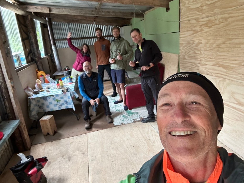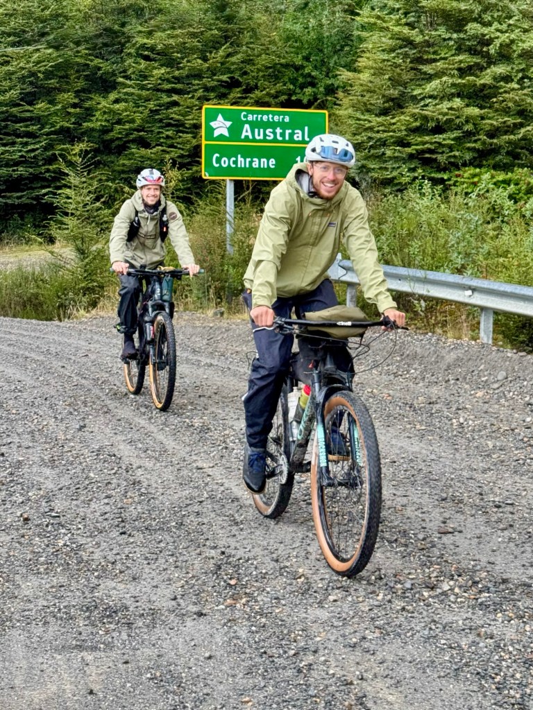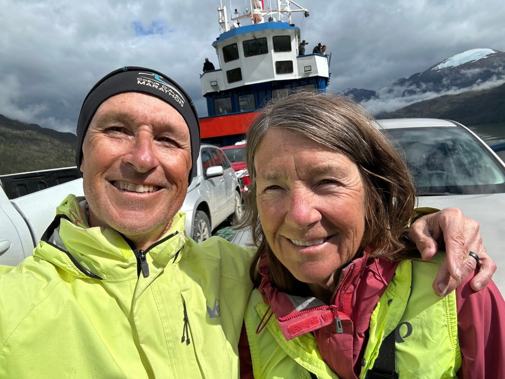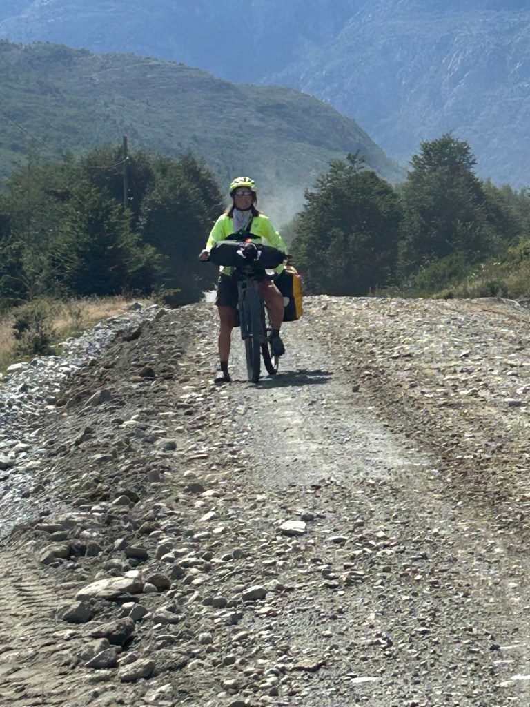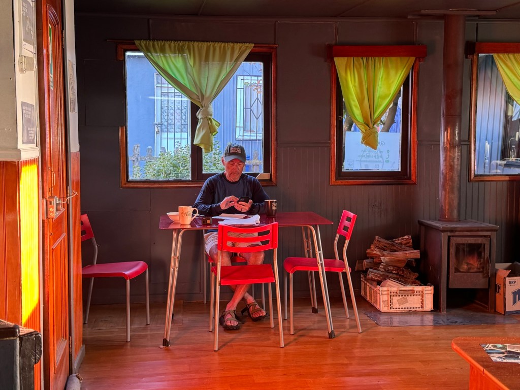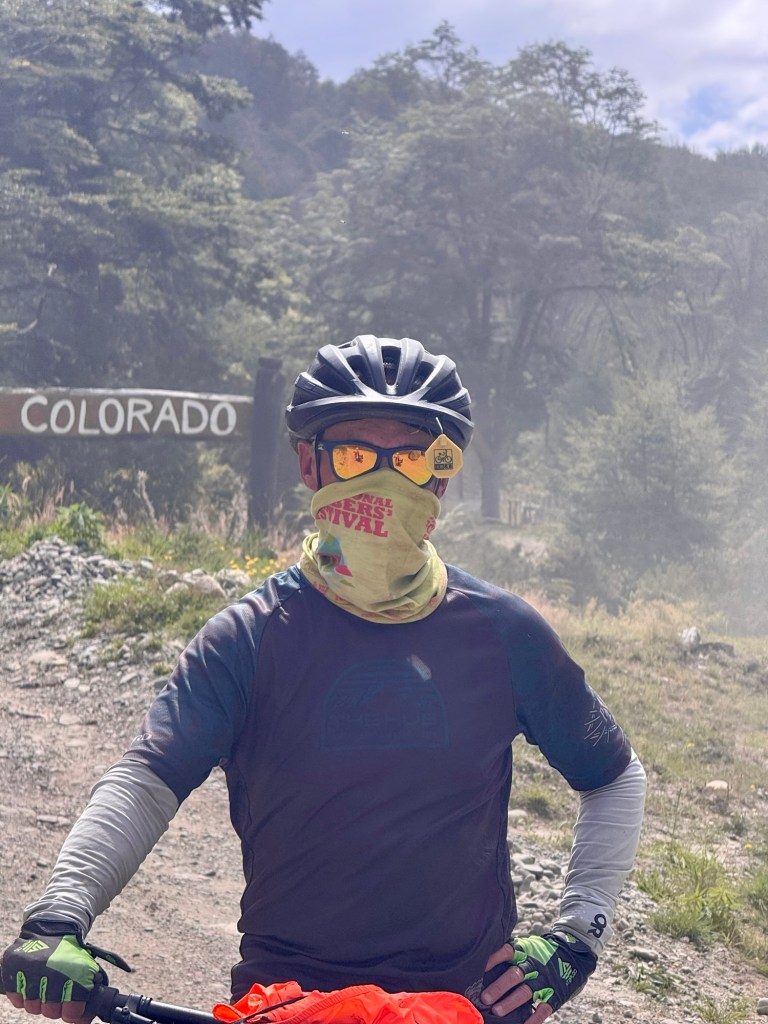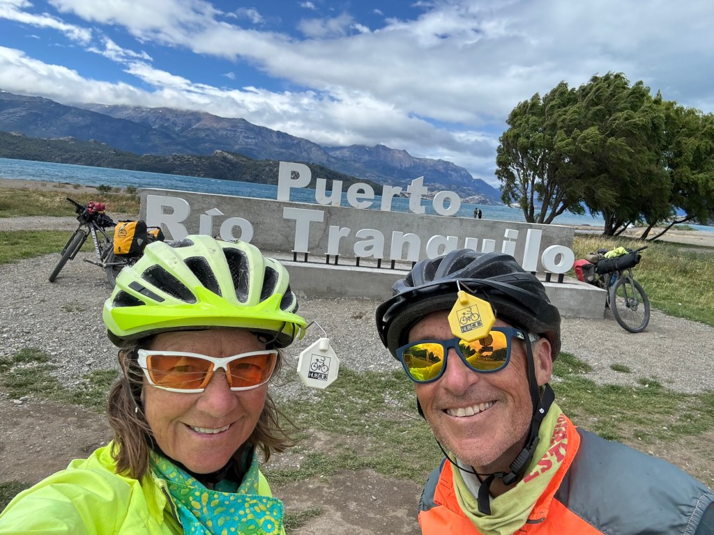
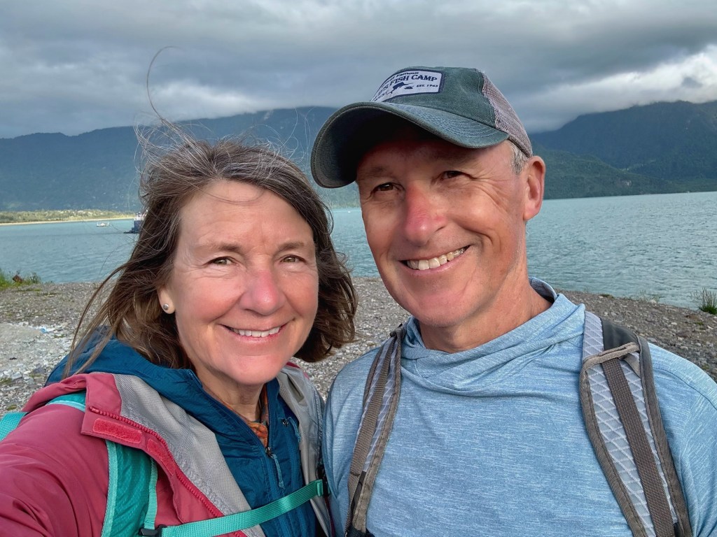
Sitting on the bus from Villa O’Higgins back to Coyhaique which took us two days, gave us time to reflect on our ride. After all, we are traveling northbound on a portion of the very road we cycled on southbound.
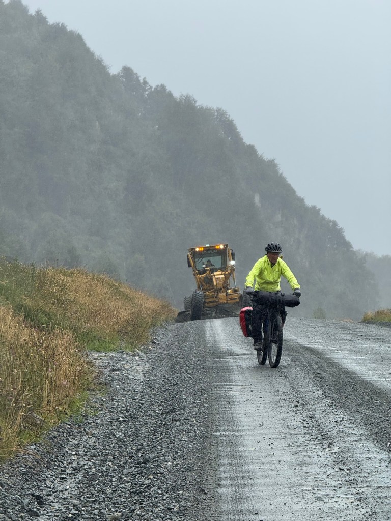
Seated (kinda) comfortably on the bus we saw cyclists along the way, working toward their destinations just as we did days ago. Although we welcome the rest, we are already missing the riding. I was thinking… “Dang that riding looks kinda hard. Did we really just do that?”
Below are a few thoughts on the ride from each of us:
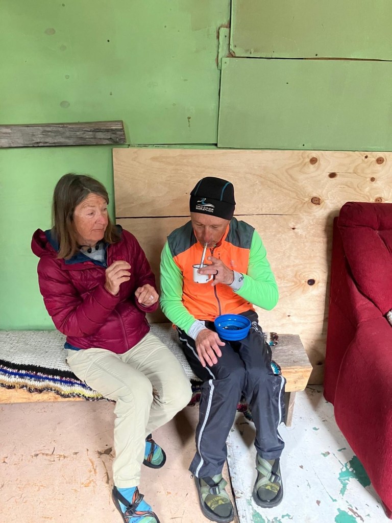
From Deb:
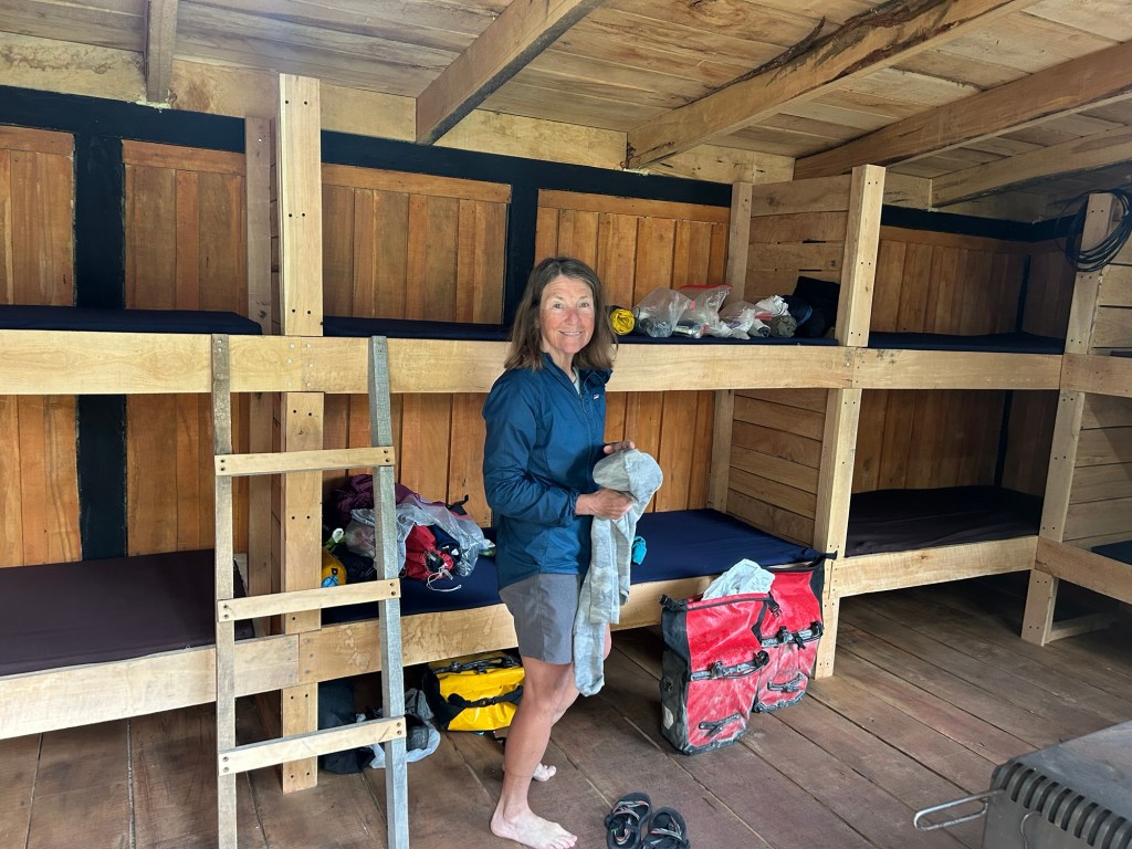
- The first week was like bicycle boot camp riding on a different saddle, a mountain bike and even riding at all and especially on elevation like this. By the second week I was “all good”.
- Winds, rain and cool temps were more of a challenge than the elevation and road surface for me.
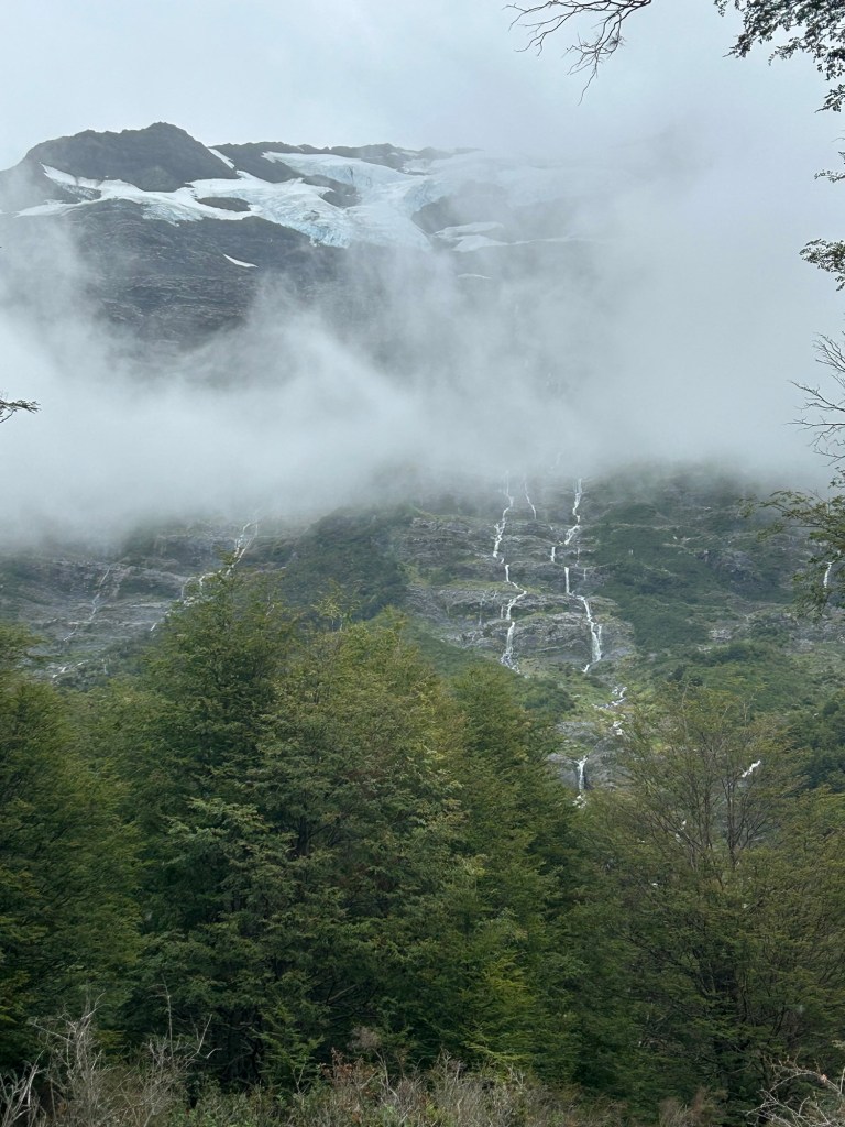
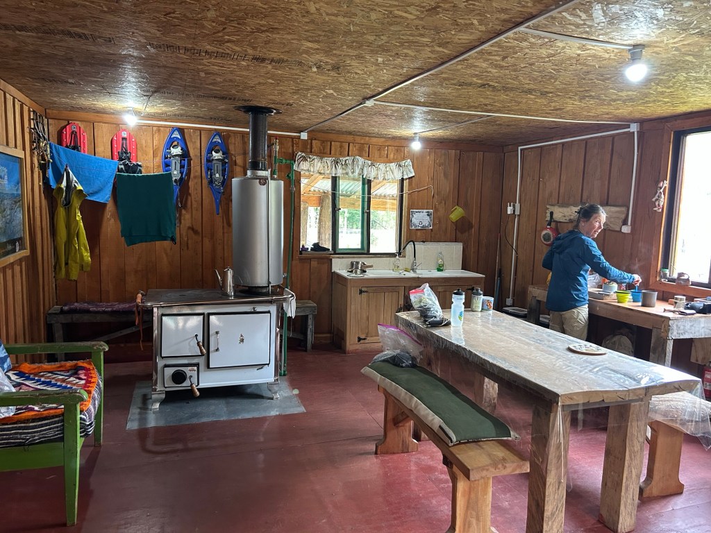
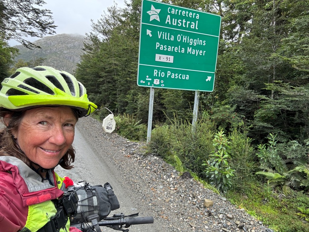
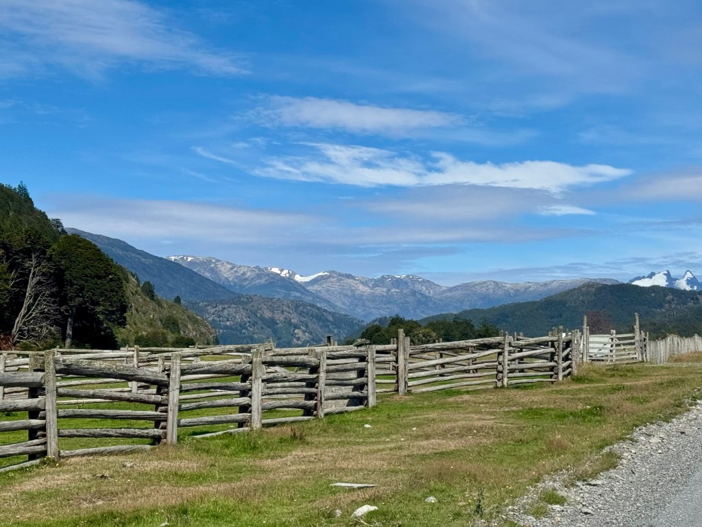
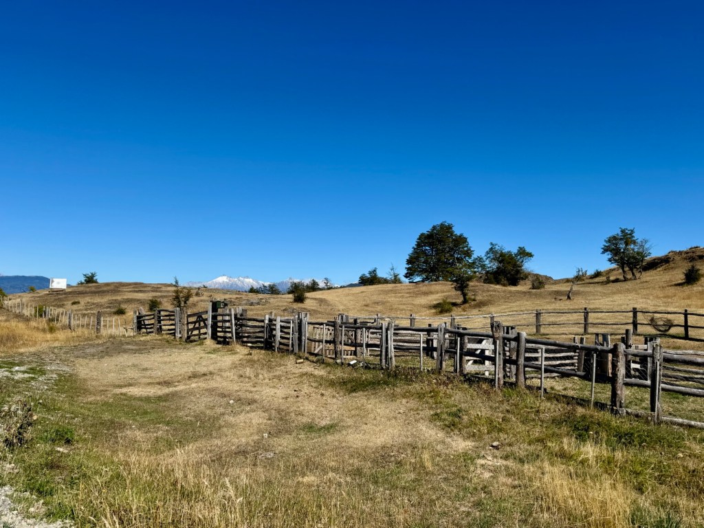
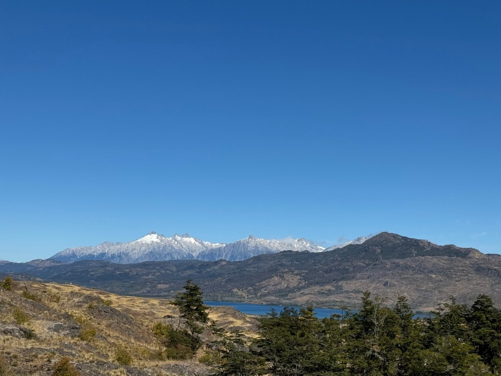
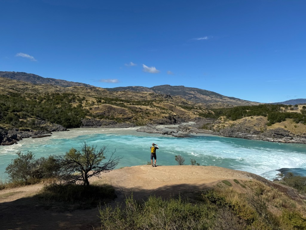
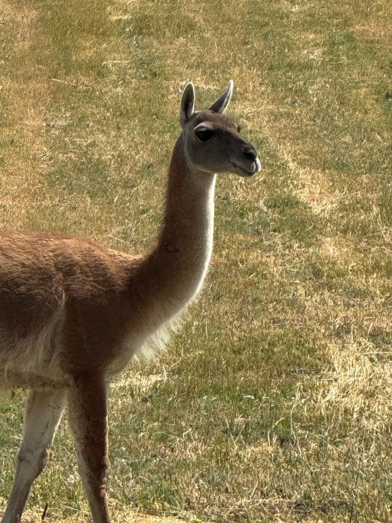
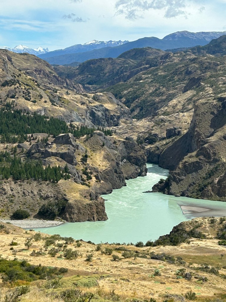
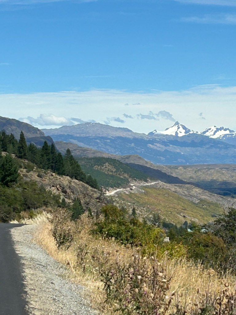
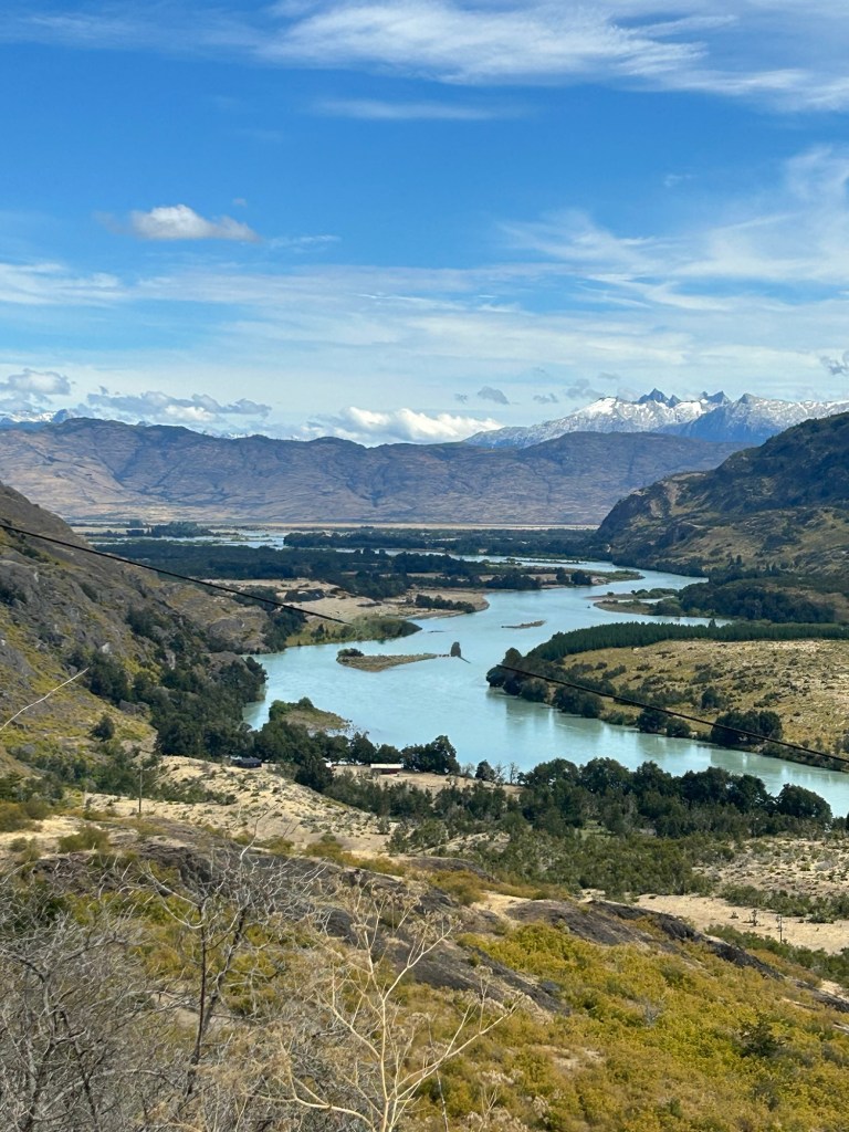
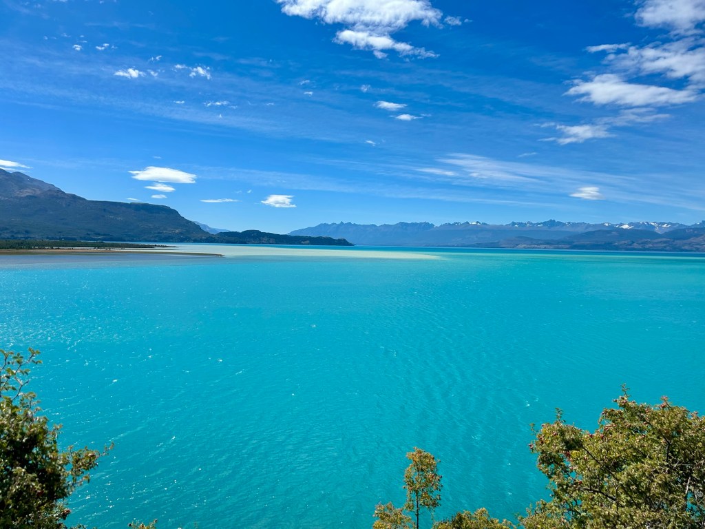
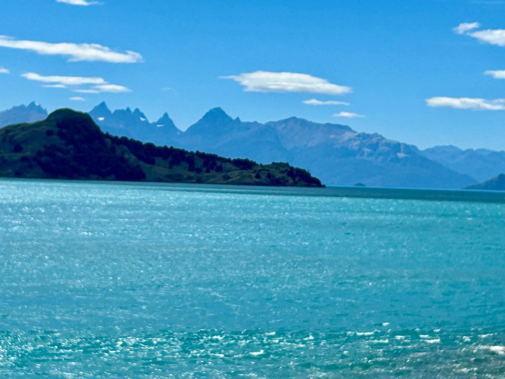
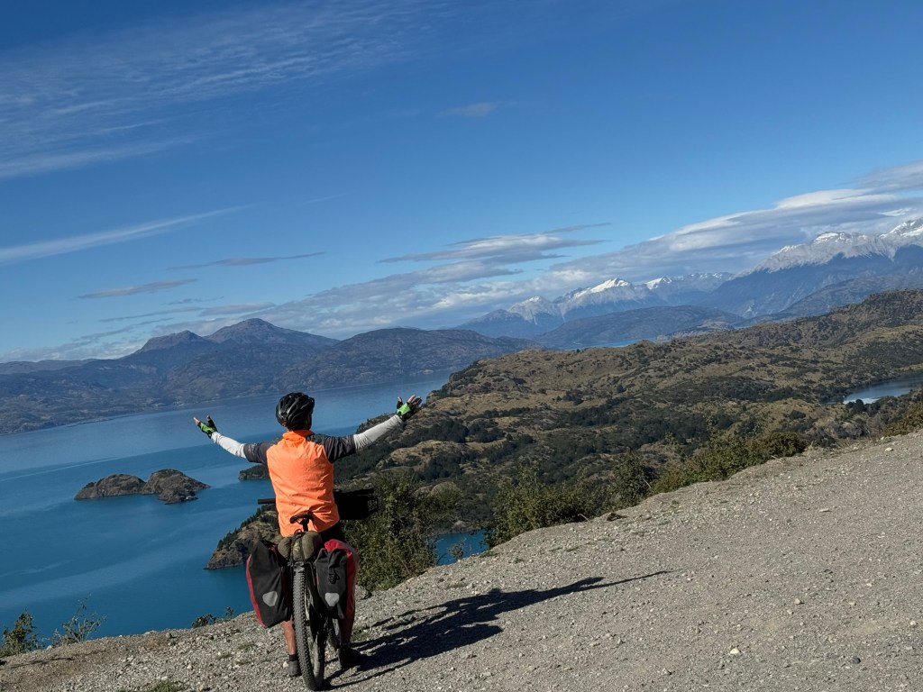
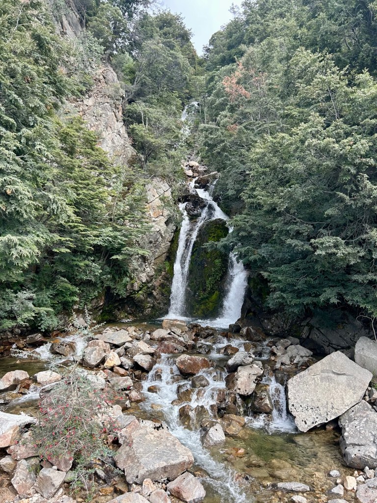
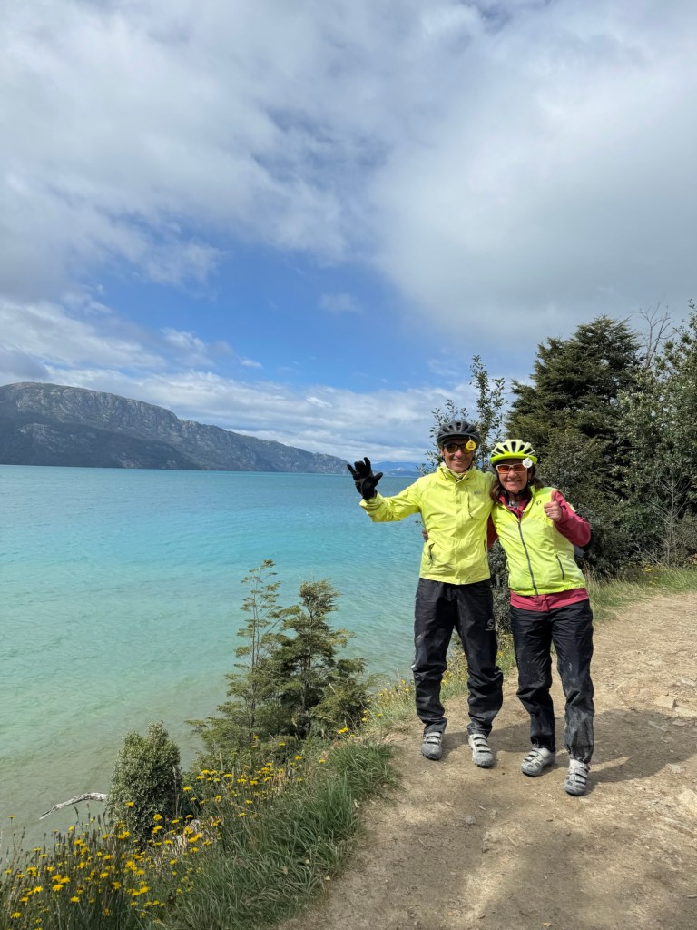
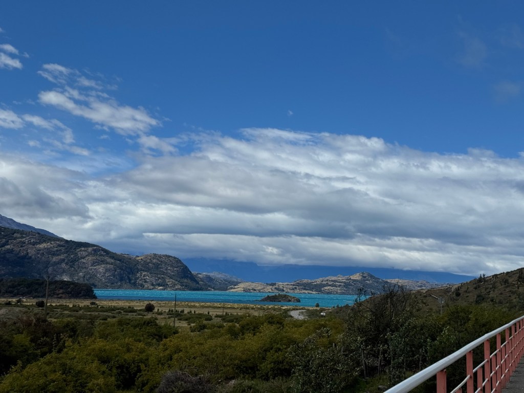
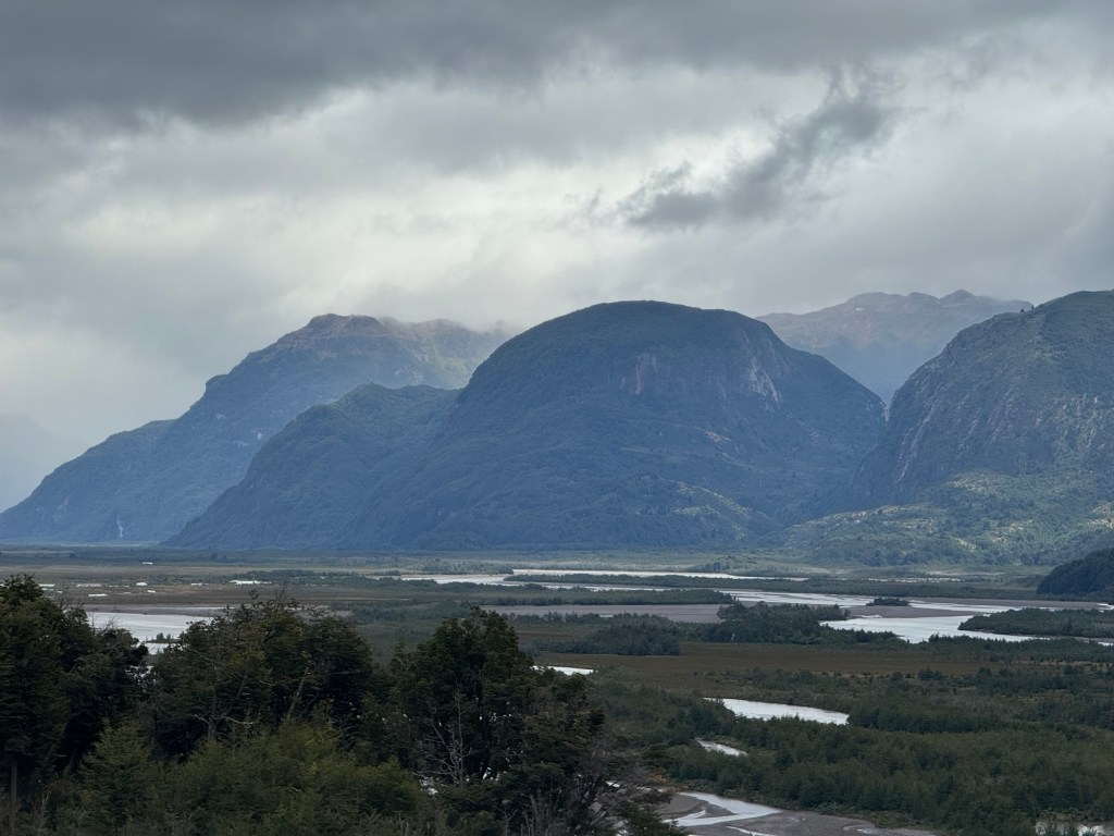
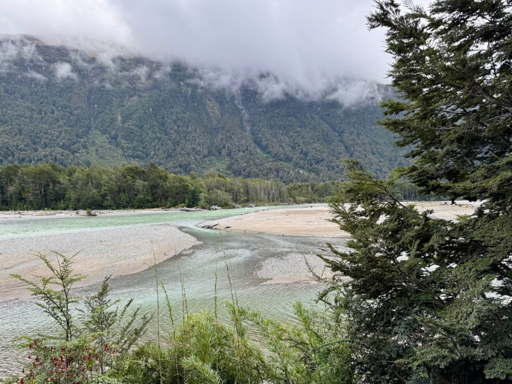
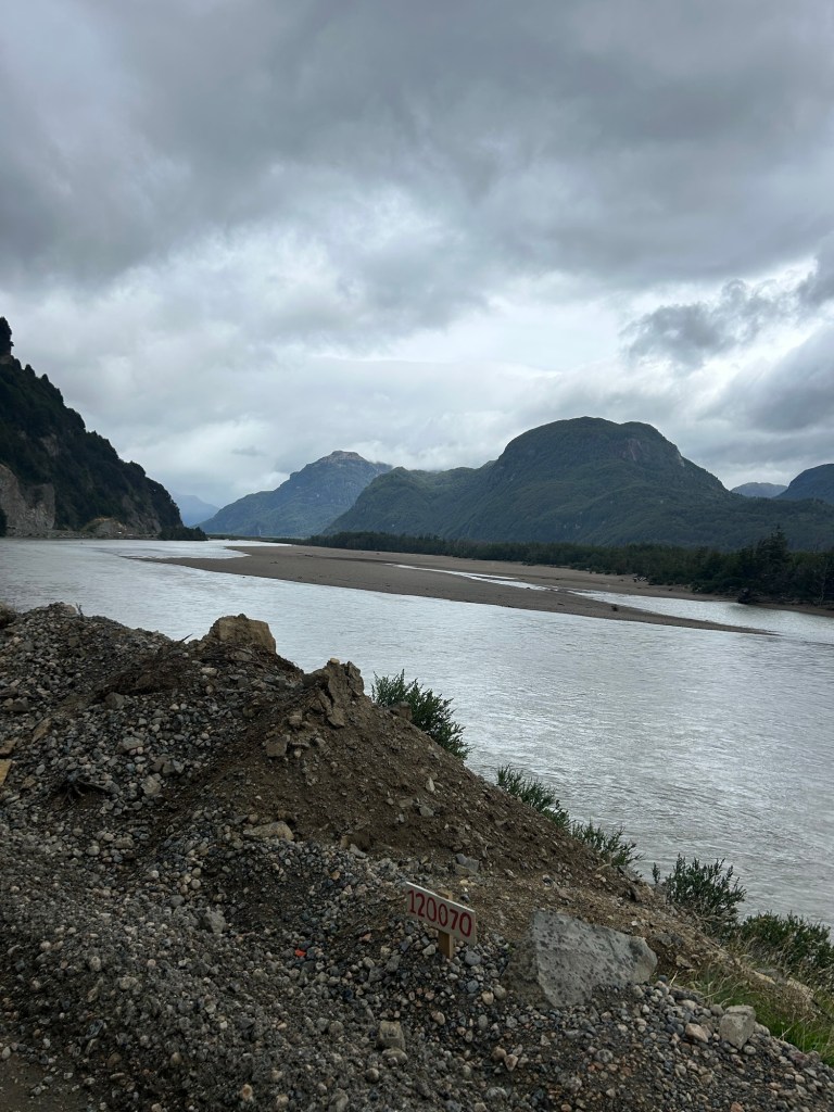
- I never tire of seeing mountains, waterfalls or flowing rivers and cycling on the Carretera Austral through Patagonia never got old.
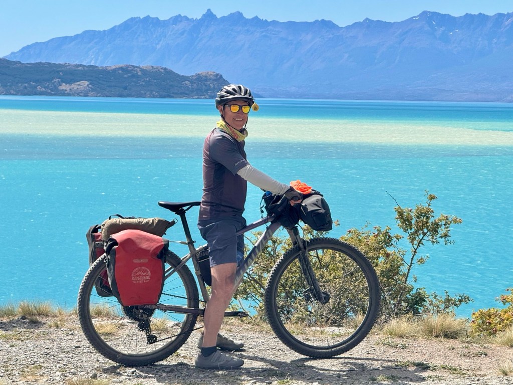
- So glad I was riding a mountain bike with front suspension. It made the lumps and bumps more manageable.
- Spending time in the saddle for a good part of the day enabled me to spend quiet time with the Lord. There are a lot of special people that need prayers right now. Plus we began each day together in prayer. Why don’t we do that at home together?
- Thank goodness I brought rain pants.😂
- And finally, I’m grateful Tom is a planner and uses shareable spreadsheets. I always feel safe and prepared with this guy.😘
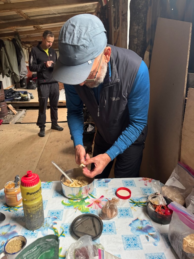
From Tom:
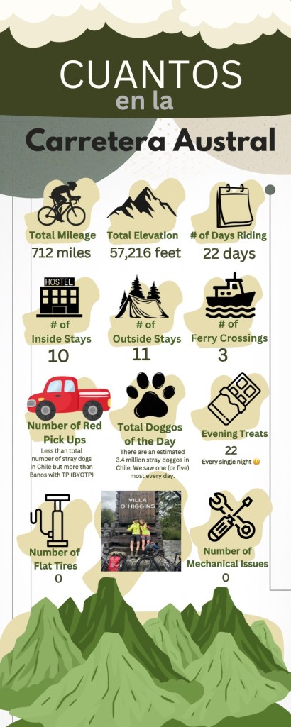
When you start a new trip in a new location, you have certain expectations as you plan daily rides. This trip as I was planning the daily rides, the mileage was a bit shorter, ~35 miles average per day, which seemed somewhat easy for us.
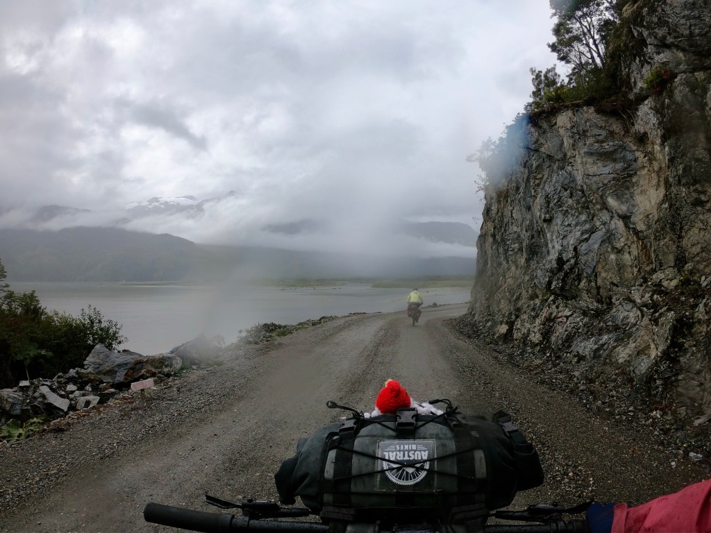
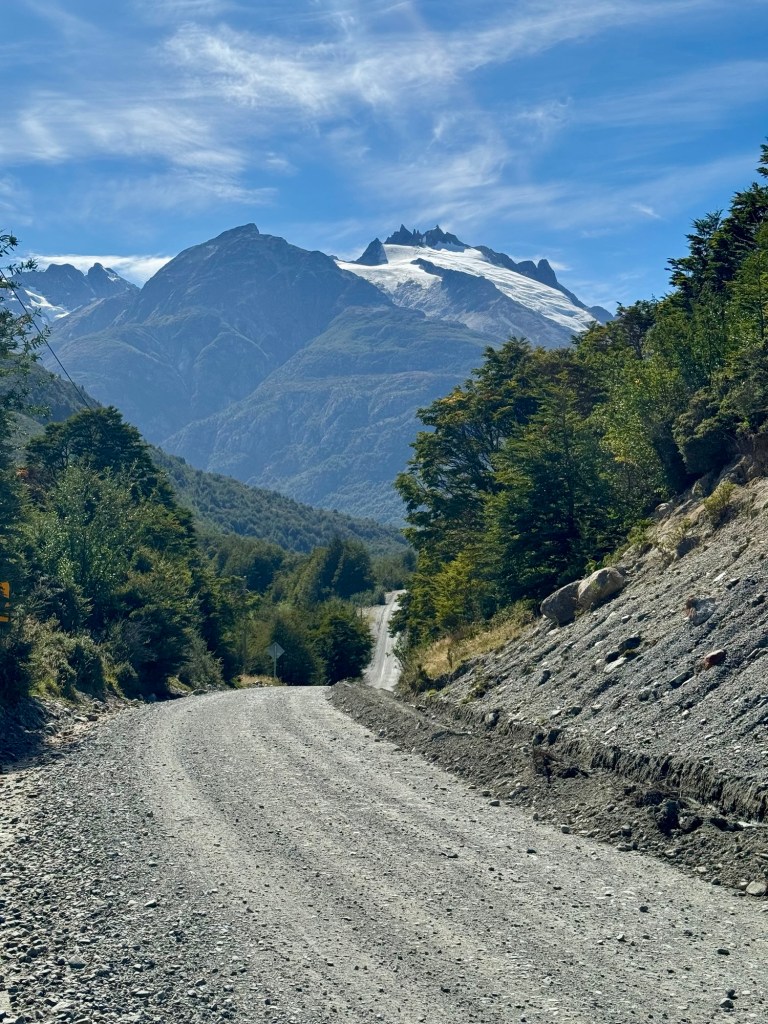
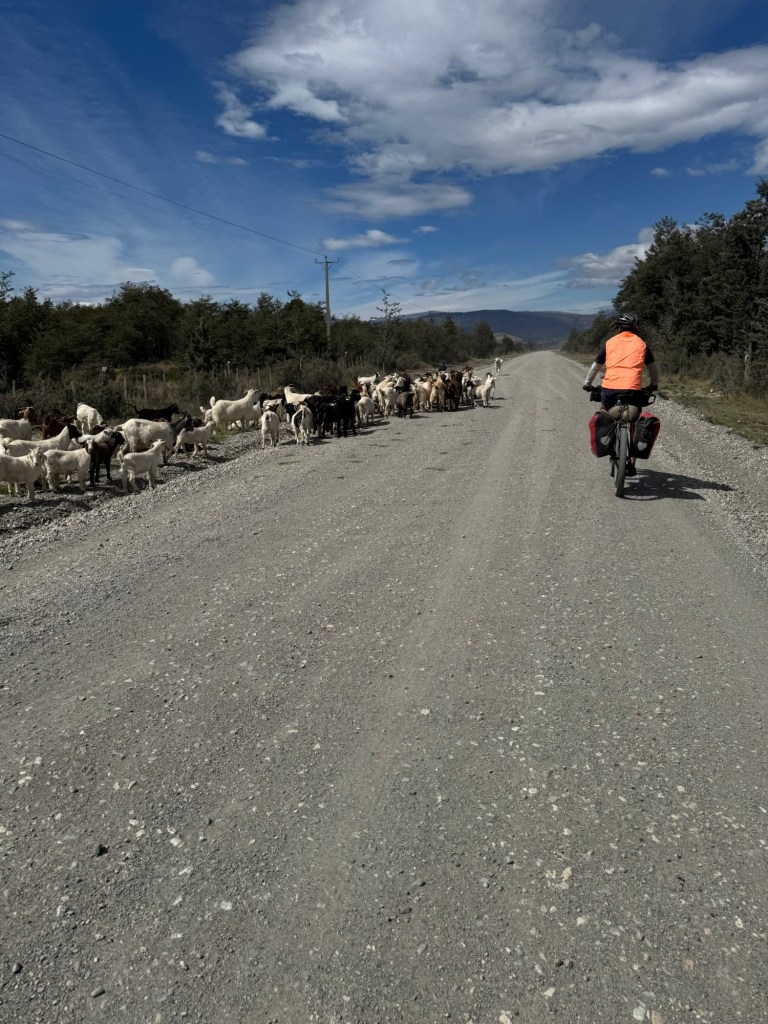
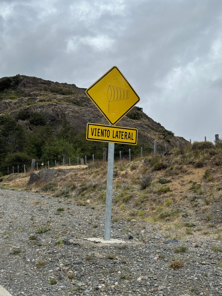
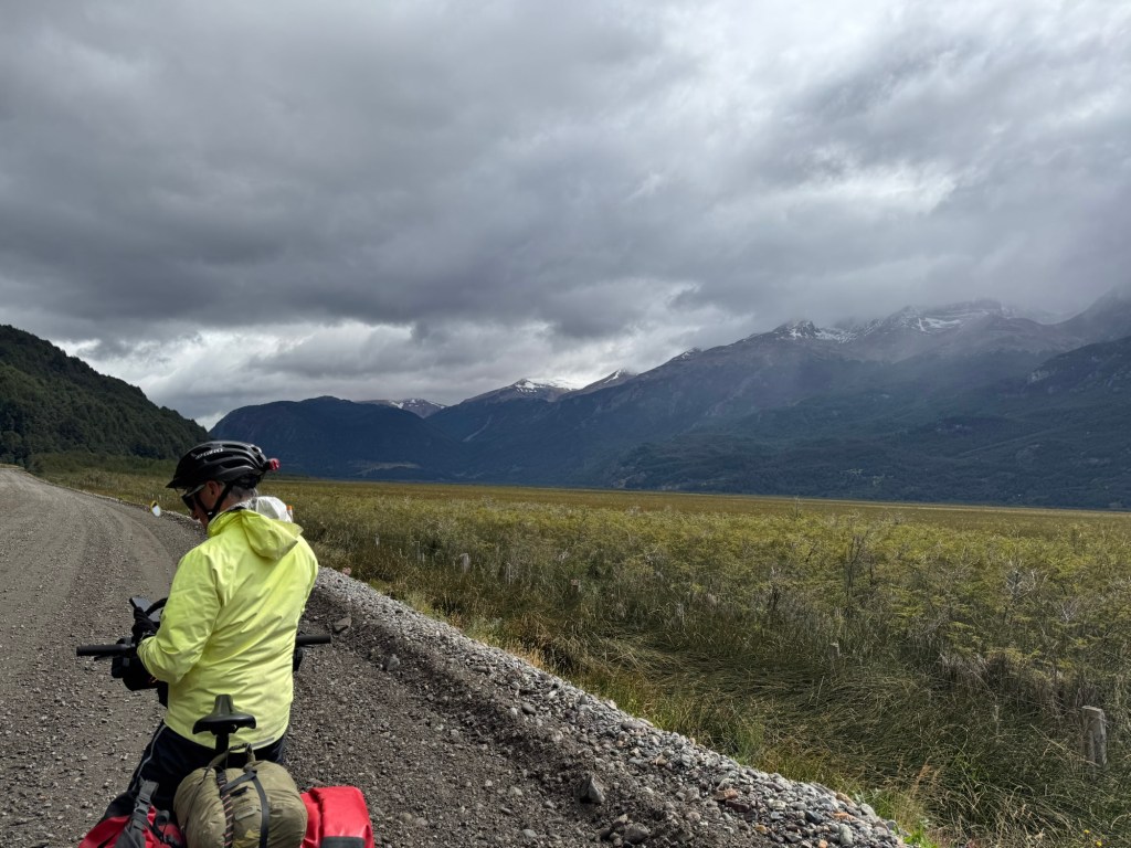
The unknown is the weather, wind, gravel riding surface and grade of climbs. At the beginning of the trip we were challenged with all of the above. The winds were difficult at times, the temperature was much colder than expected, and we had much more rain than expected. The gravel and climbs were no more difficult than what we experienced on the Great Divide or in New Zealand. By the end of the trip our mental state was stronger and our climbing legs were in shape.
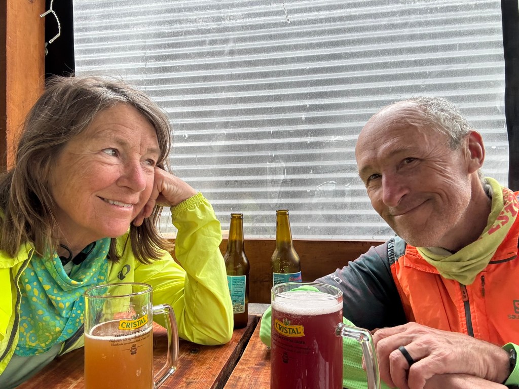
At the end of these bike trips, you feel in such good shape, you just don’t want it to end, but then eventually have to reenter back to real life.
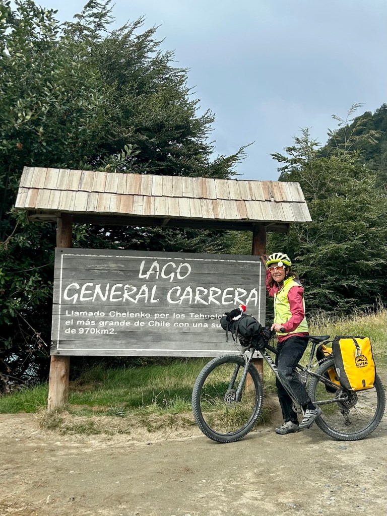
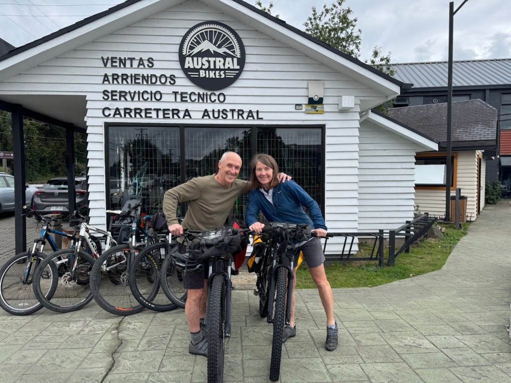
Working with Austral Bikes really helped with the logistics of renting mountain bikes and bags. If you ever consider riding the Carretera Austral, I highly recommend you consider reaching out to them for info.
Click on the image below to view our video wrap up: