Ireland Day 9: Waterville to Glenbeigh| 46 Miles, 3,284 Feet Elevation | Will You Ferry Me?

Riding Stats (Link to Tom’s Strava)

Accommodations (daily mileage, elevation, etc.)

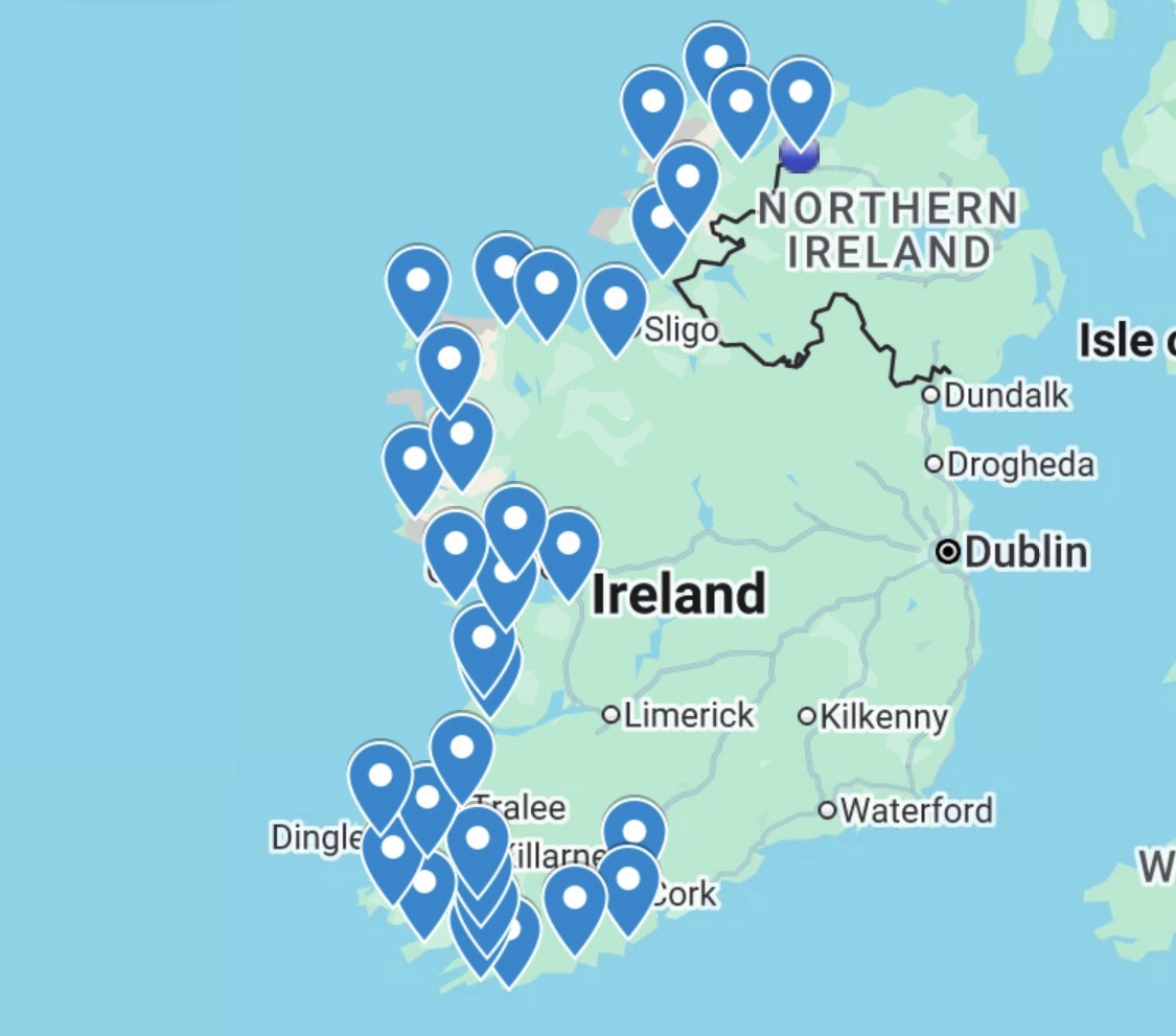
Route Tracker (track our northbound ride on a Google Map)

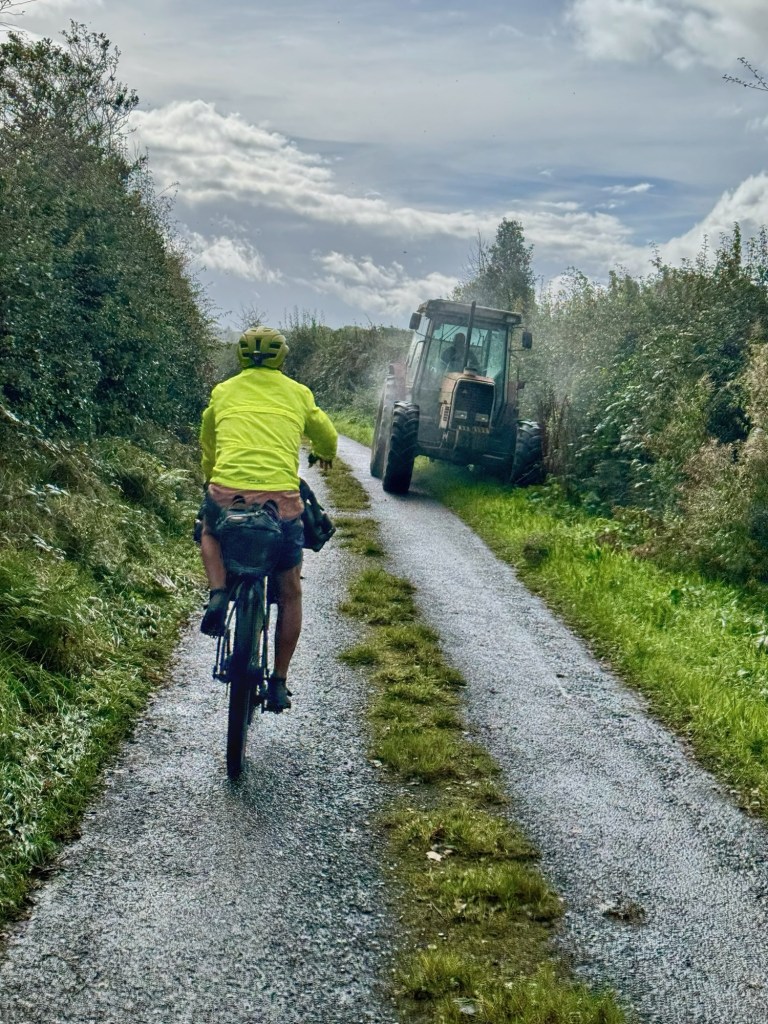
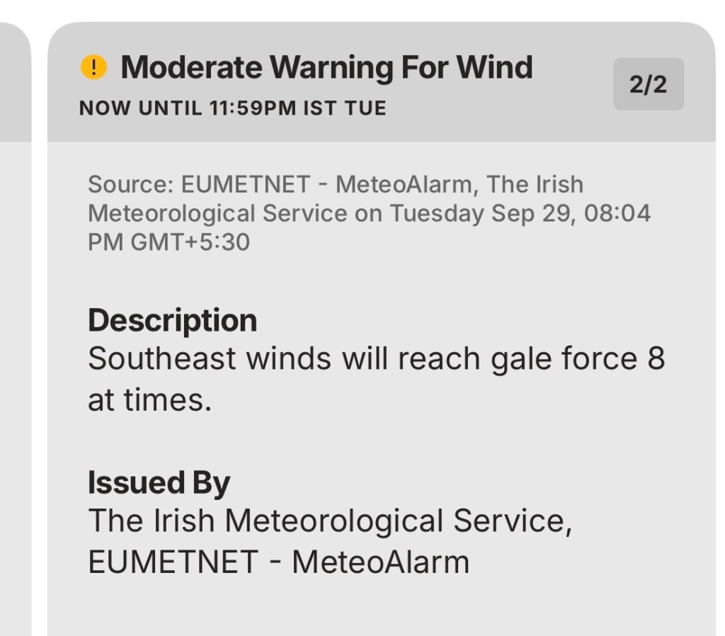
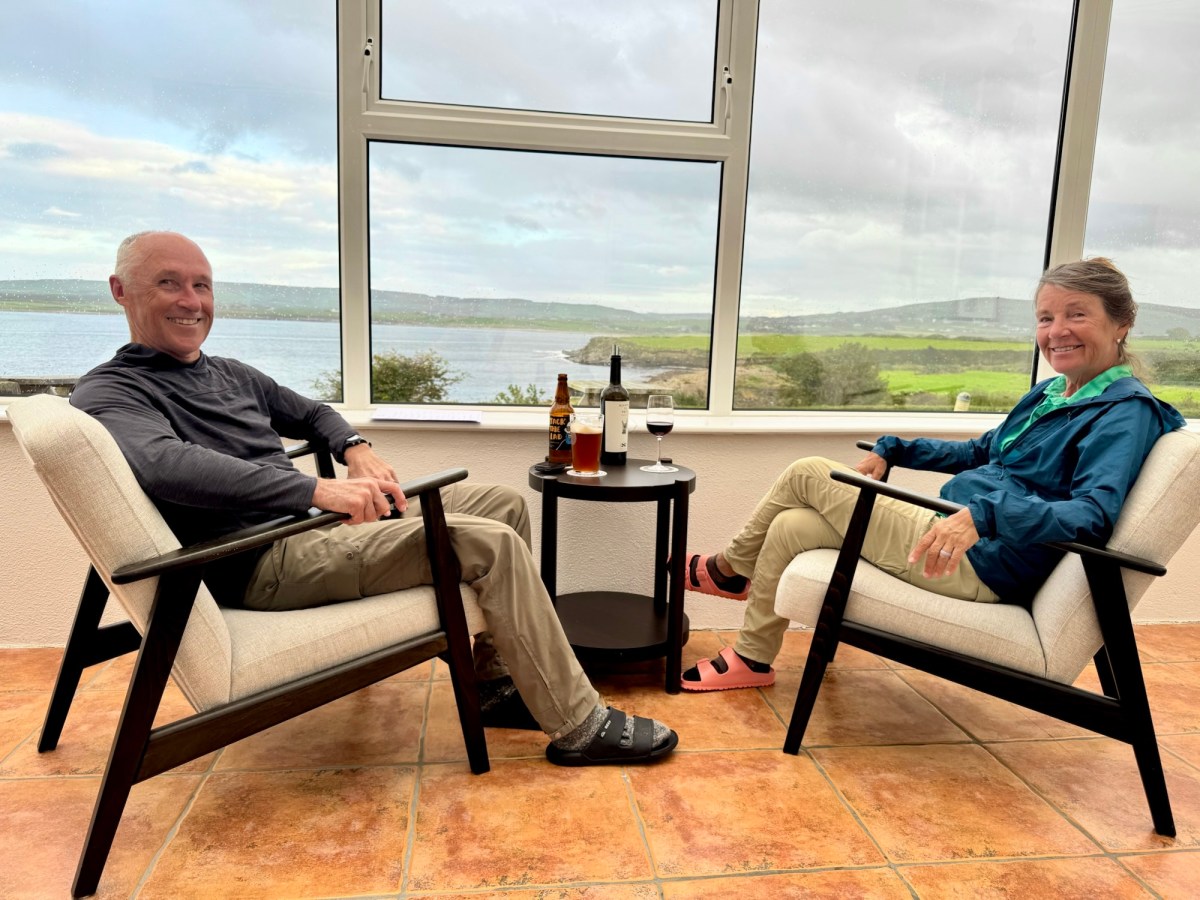
We weren’t expecting a ferry ride today and we weren’t expecting dry weather either, but that’s exactly what we got.

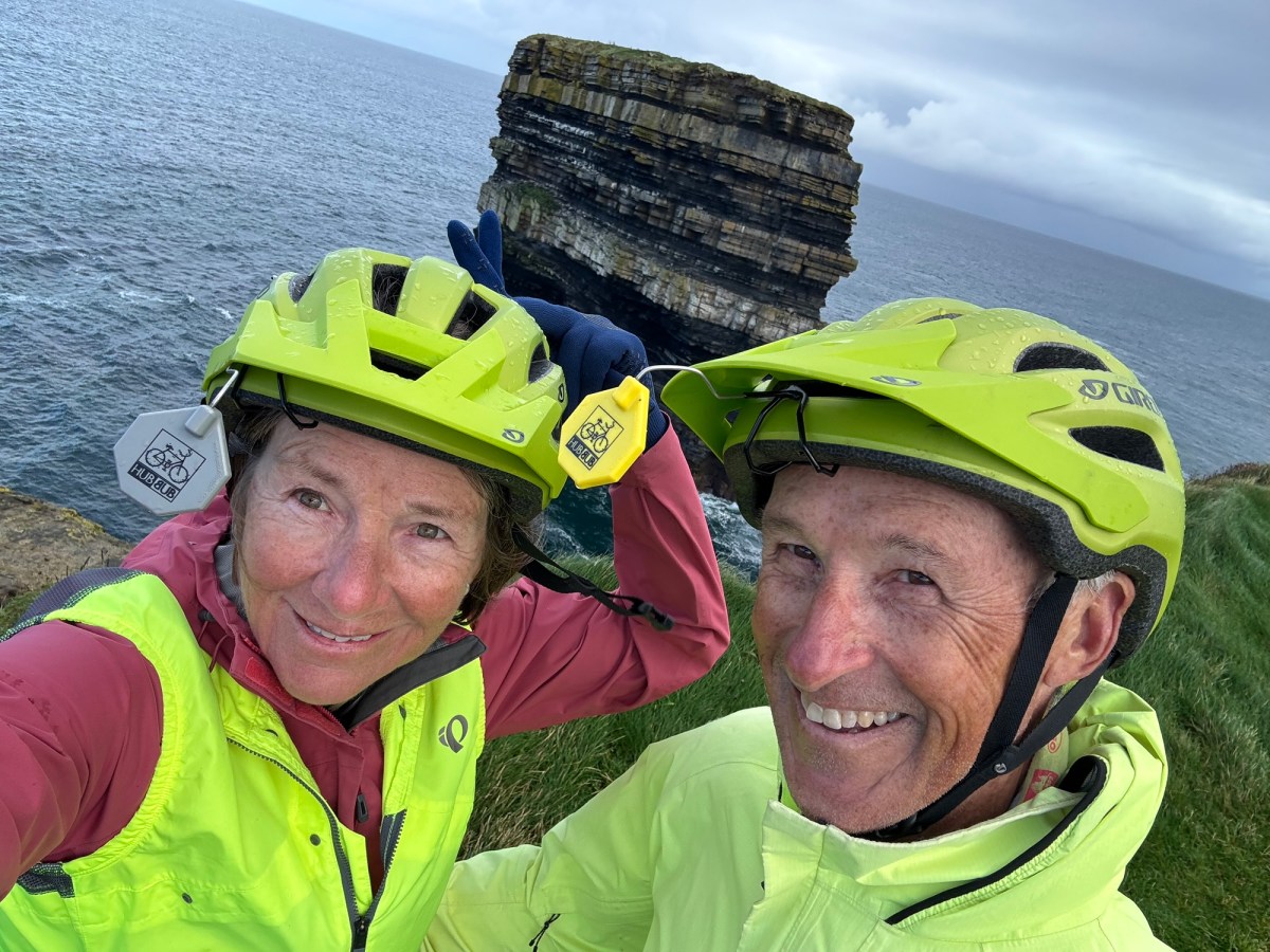
That and Kerry Cliffs. 🌊

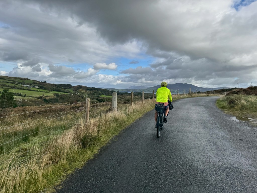
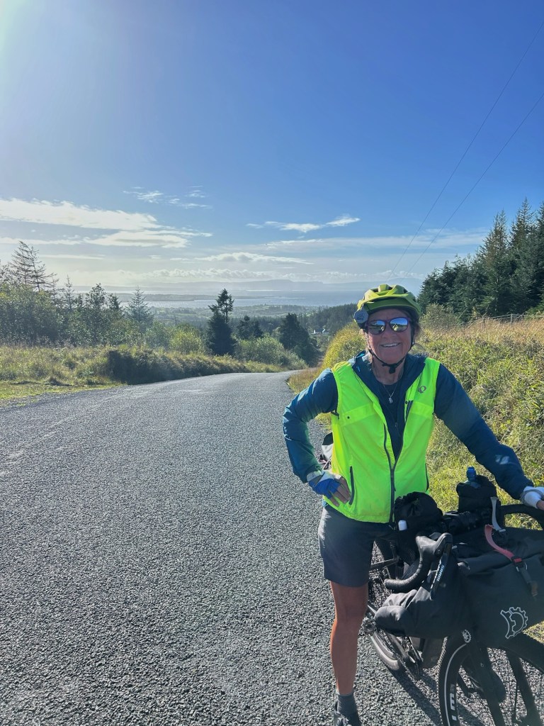
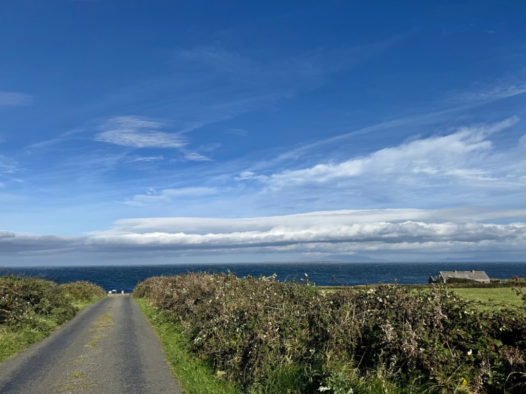
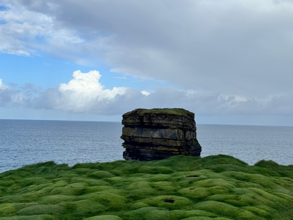
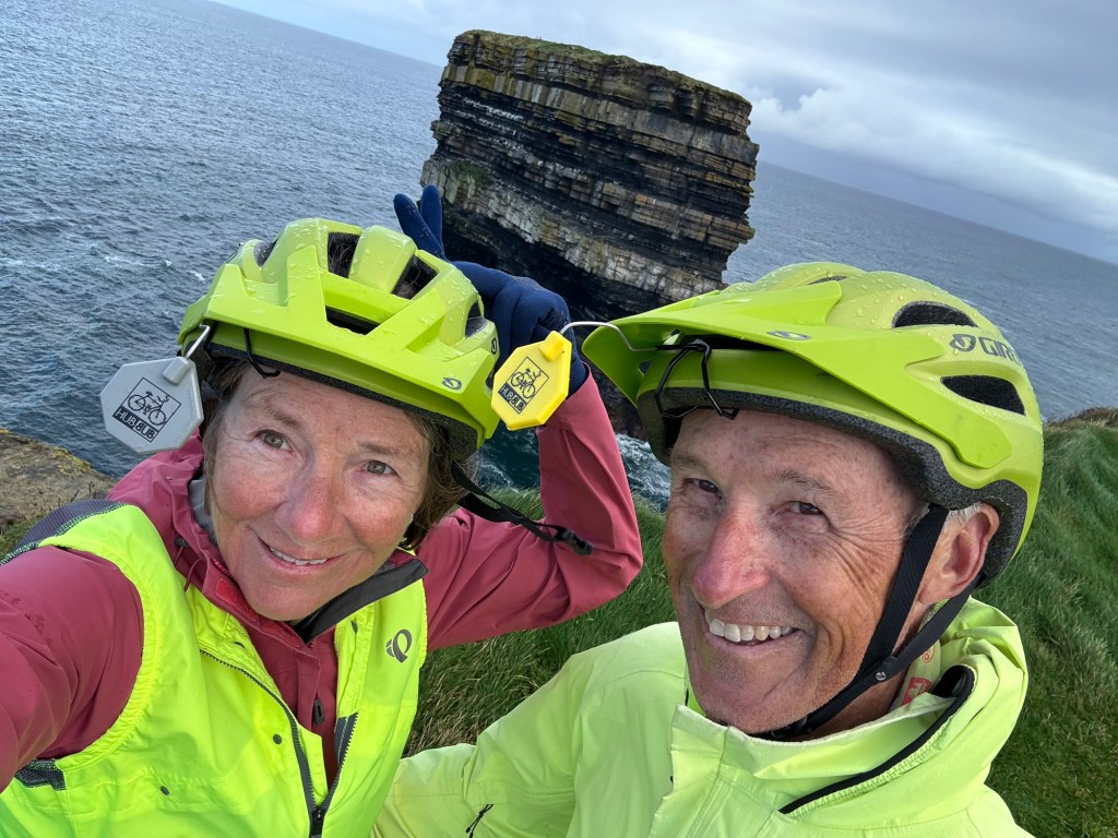
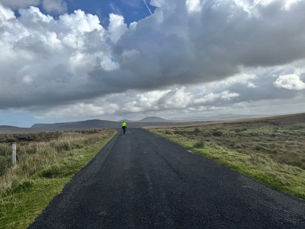
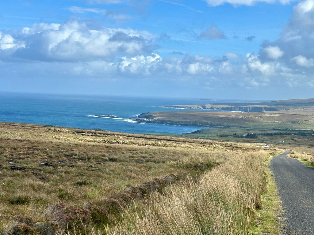
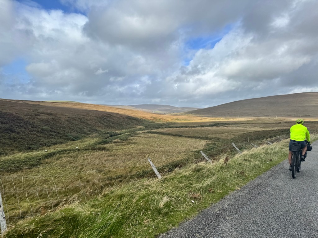
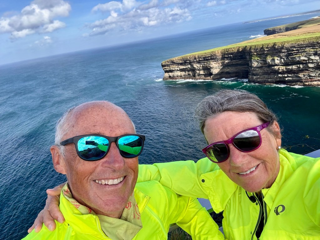
The morning brought very soupy fog and a couple of climbs we underestimated, but the fog moved out long enough to get some good views of the Kerry Cliffs which we were sure would not be visible due to the stormy forecast.

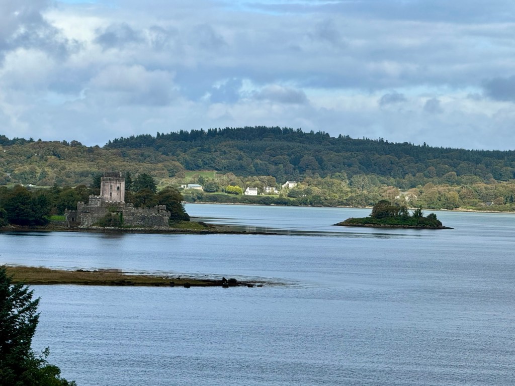
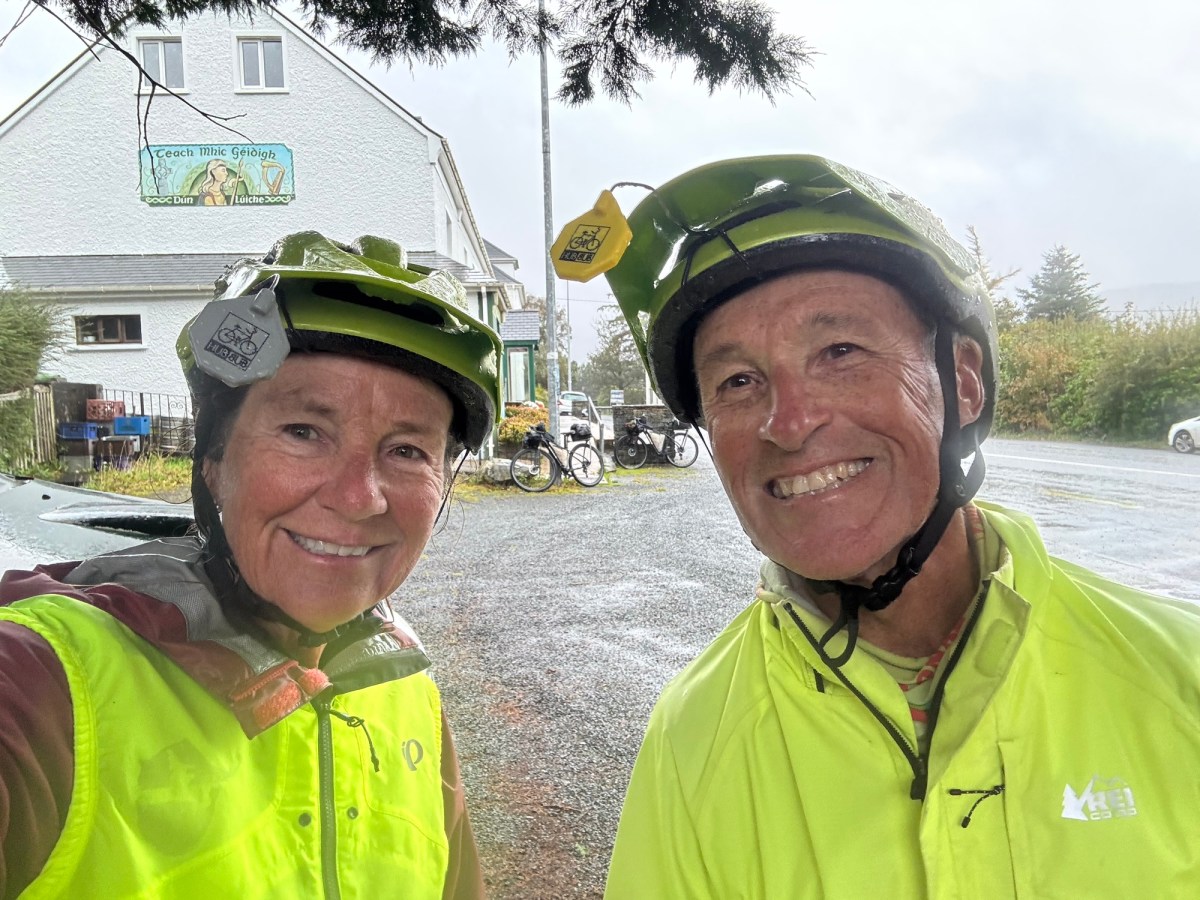
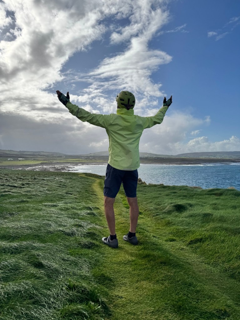
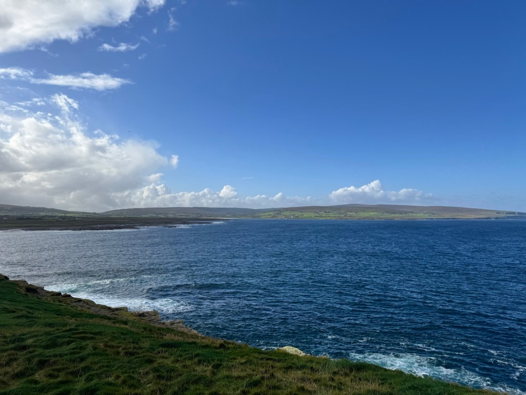
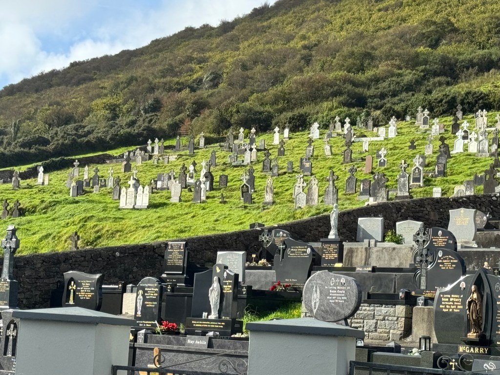
We started our ride this morning looking at views like this but we never got the forecasted rain. 🙏🏻

Tomorrow we head to the Dingle Peninsula to spend a couple days. Laundry is at the top of the list. Inside stays, low mileage, and no camp kitchen are really making this seem like a vacation. 😂

In nine days we’ve cycled up and down these peninsulas in Cork and Kerry, seen spectacular scenery, meet some wonderful people and learned more about Ireland (mostly that around every corner, she’ll surprise you with some weather). So grateful!

Now we have about three weeks to get to Derry to catch our train back to Dublin.

Towns we cycled through today between Waterville and Glenbeigh: Ballinskelligs, Knightstown, across Valencia Island and through Cahersiveen

Click on the image below to view today’s vid:

Ireland Day 8: Kenmare to Waterville | 42 Miles, 2,970 Feet Elevation | Inland

Riding Stats (Link to Tom’s Strava)

Accommodations (daily mileage, elevation, etc.)

Route Tracker (track our northbound ride on a Google Map)

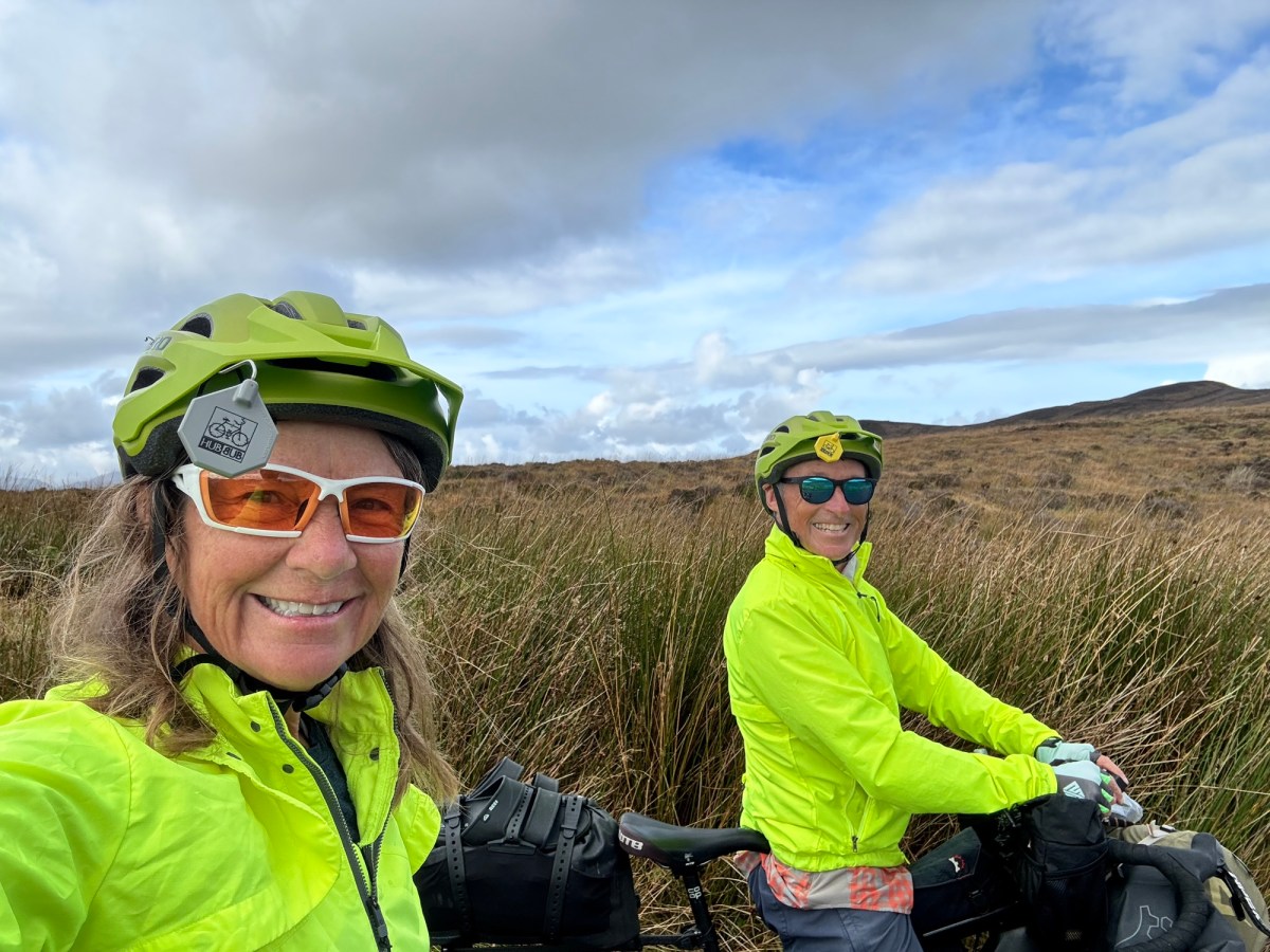
Today was different riding in two ways! There wasn’t a drop of rain all day and we veered away from the Atlantic coastline and cycled inland.

It. Was. Fantastic.

There were three climbs on our to-do list today, each one more difficult than the last.

Honestly, tho, none were awful. Tom motored right up all three. I had to take a couple 10 second breaks to recalibrate my breathing or just flush out my legs (I call this wrestling with the hill fairies)🧚, but both of us got it done.

We met a group of women on holiday about 10 miles into our ride who wanted to let us know we were the most courteous riders she’d ever encountered. She appreciated our riding single file, being brightly dressed and staying as far left as possible. That’s all good to know!

So many beautiful views today, many included our beloved walking fluffballs (sheep) that reminded us of riding in New Zealand.

Today was sunny and tomorrow is predicted to be a total washout with rain. We’re making our way to the Dingle Peninsula so we’re going to press on in the rain. I mean that’s what they make rain gear for, right? 🤷🏼‍♀️

Today we cycled through today: None! 👀

Click on the link below to view today’s vid – some good drone footage included too. 😉

Ireland Day 7: Eyeries to Kenmare | 28 Miles, 1,500 Feet Elevation | So Long County Cork; Hello County Kerry

Riding Stats (Link to Tom’s Strava)

Accommodations (daily mileage, elevation, etc.)

Route Tracker (track our northbound ride on a Google Map)

Today we said goodbye to County Cork and hello to County Kerry, the second of eight counties we will cycle through.

As we’ve been spending time on our bikes we noticed big letters in car windows: letters L and N. Turns out letter L is for Learning Drivers who have not yet earned their driver’s license. N is for the Novice driver.

But I’m telling’ ya, good on these new drivers on some of these steep (but short) hills, especially if they’re using a stick. I looked down at my Garmin on one incline today and it was a 21 percenter. 😳

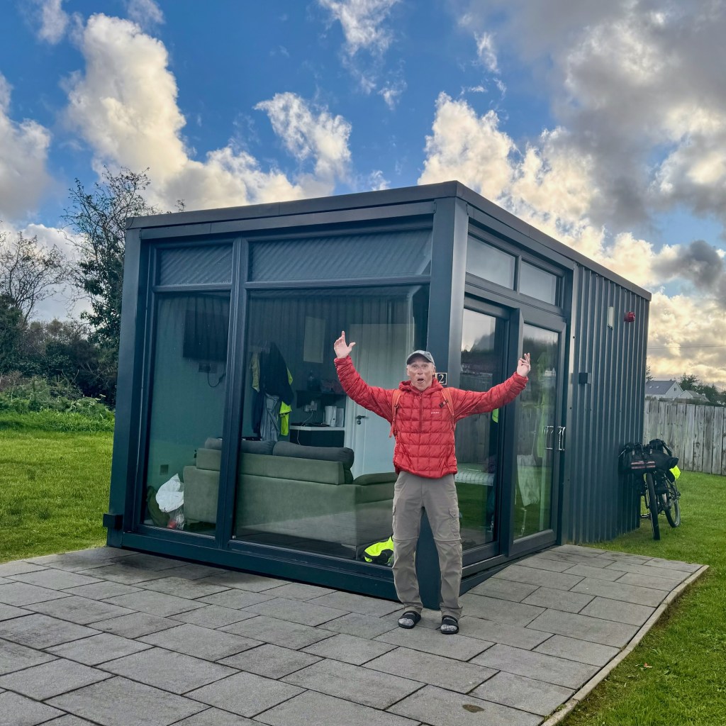
I wanted to share more about the pods we stayed in last night. Tom chooses most all of our overnight stays. He makes great choices, close to town (remember we didn’t bring a kitchen on this tour). He ensures the bikes have a secure place to be stored, and the lodging is a fair price.

These pods were brilliant, as the Irish might say. There were just two, and both located on a working farm. In fact two of the cows were expected to calf last night. Julie our hostess, also had two beautiful riding horses.

On our way into Kenmare, we made a quick stop at the Kenmare Stone Circle, a Bronze Age monument estimated to be more than 4,000 years old. The circle consisting of 15 stones is located near the middle of town making it an easy stop. Historians aren’t exactly sure of their purpose but we learned there are several of these stone circles in Ireland, especially in west Cork and south Kerry counties.

Tomorrow’s ride to Waterville will test our legs, lungs and heart as there are three gaps, or passes to go up and over.

The route today brought us to Kenmare though Ardgroom Village, Lauragh, and Tuosist. Just a shorty!

Click on the image below to view today’s vid:

Ireland Day 6: Glengariff to Eyeries | 43 Miles, 3,100 Feet Elevation | A Promise Is A Promise

Riding Stats (Link to Tom’s Strava)

Accommodations (daily mileage, elevation, etc.)

Route Tracker (track our northbound ride on a Google Map)

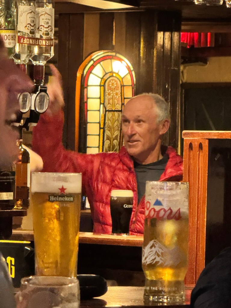
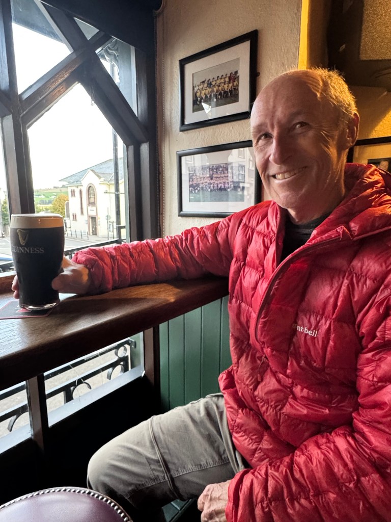
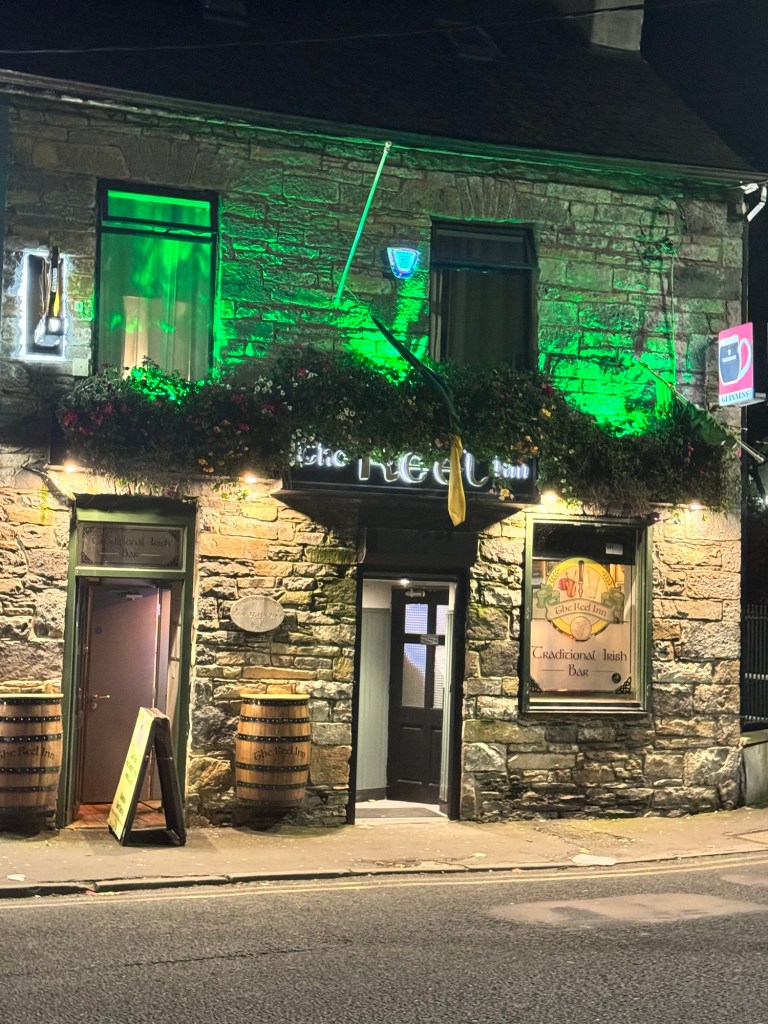
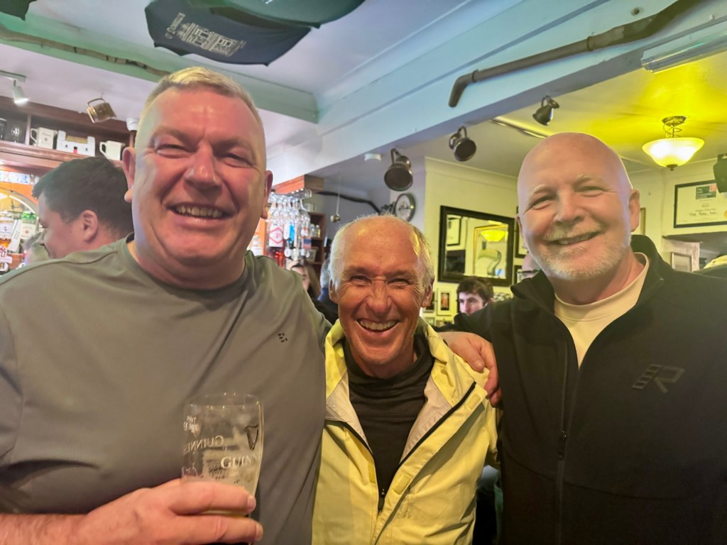
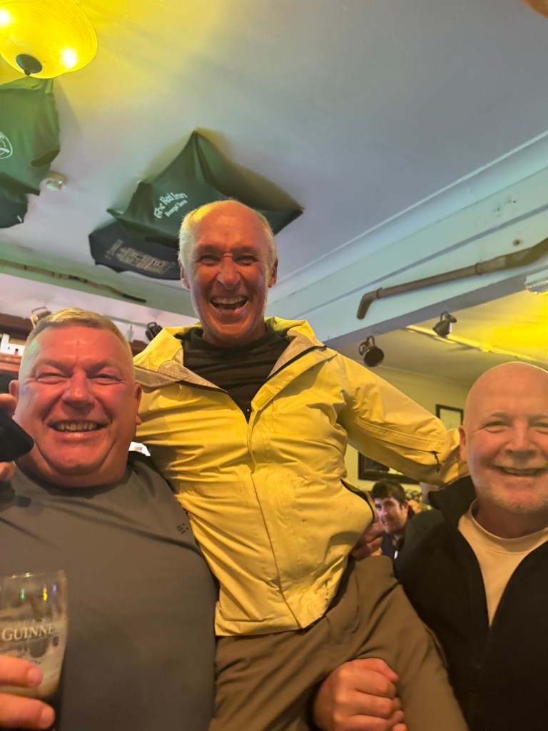
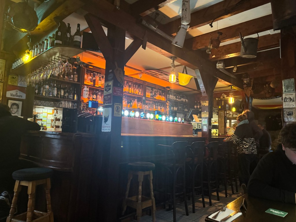
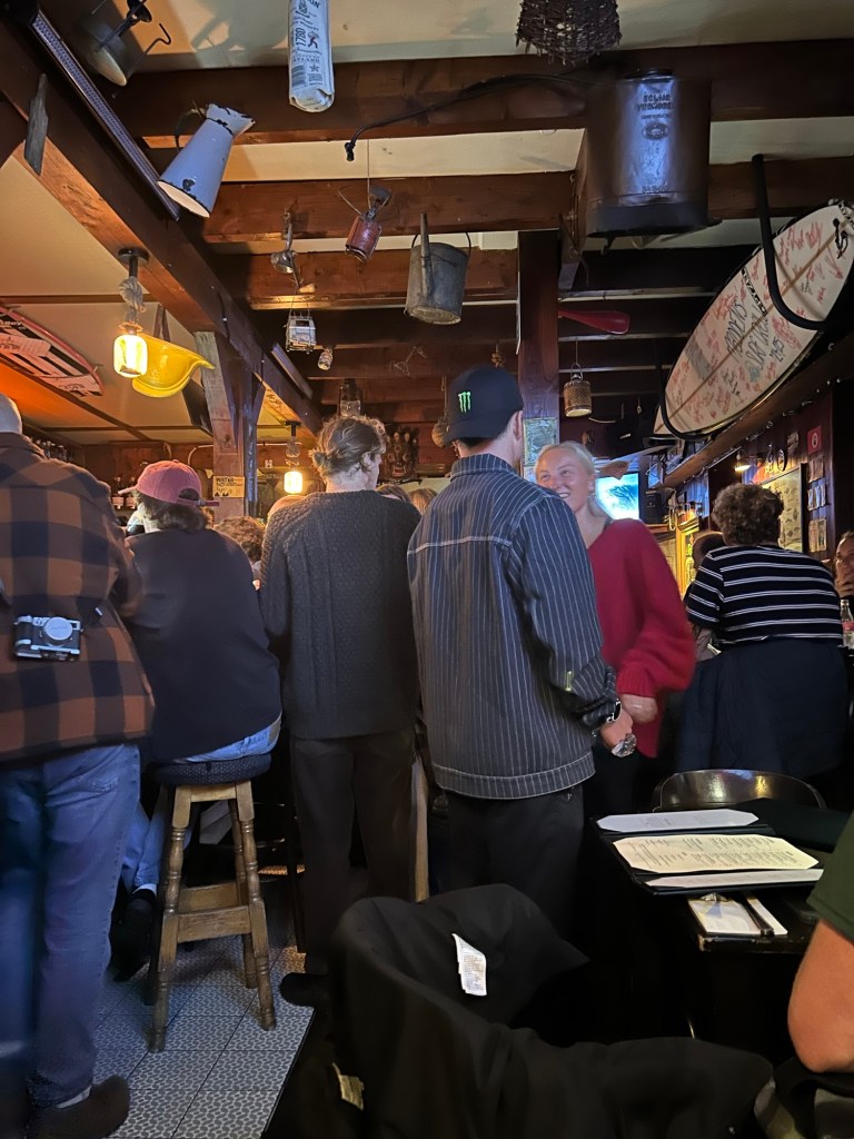
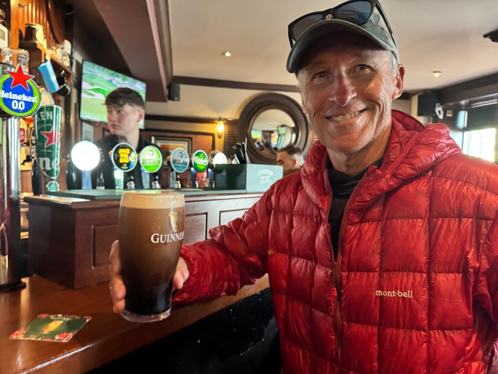
Before I share about today’s ride (which again, was the best day so far and yes I know we make that claim everyday but they keep getting better and better), I promised Boo, Michael, Leo (not the Pope) and Gerry I would share a photo from the time we shared in O’Shea’s Pub last night.

Upon entering O’Shea’s one of the gentleman at the bar, Boo, asked Tom “what the F is the yellow jacket all about?” 👀

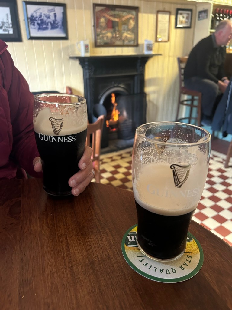
Yes, Tom mighta looked like a walking traffic cone but on the narrow roads we don’t gamble with visibility so Tom explained the coat and that we were cyclists and ordered them he ordered us both a pint.

What drew my attention to the crew was Michael’s red “Make Bally Great Again” hat. Coincidentally Trump is visiting Ireland this week.

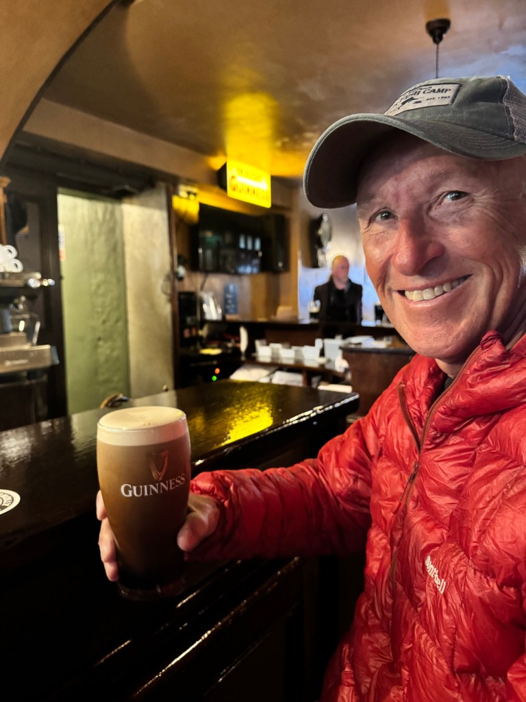
We’ve learned in our travels that if there’s just one topic more controversial and lively than England’s Royal family, it’s American politics (and we don’t “go there”) so when Boo asked where we were from I quickly said “Canada”. I mean Tom just wanted to enjoy a Guinness and I, a cider soooo… that seemed like an easy answer.

When Tom shared we were cycling from Cork to Derry, there were more laughs, roars and Boo dropping to do push-ups to get in shape for his next event. I told him he needn’t bother, that I’d put a kiddie seat on the back of my bike and carry him along.

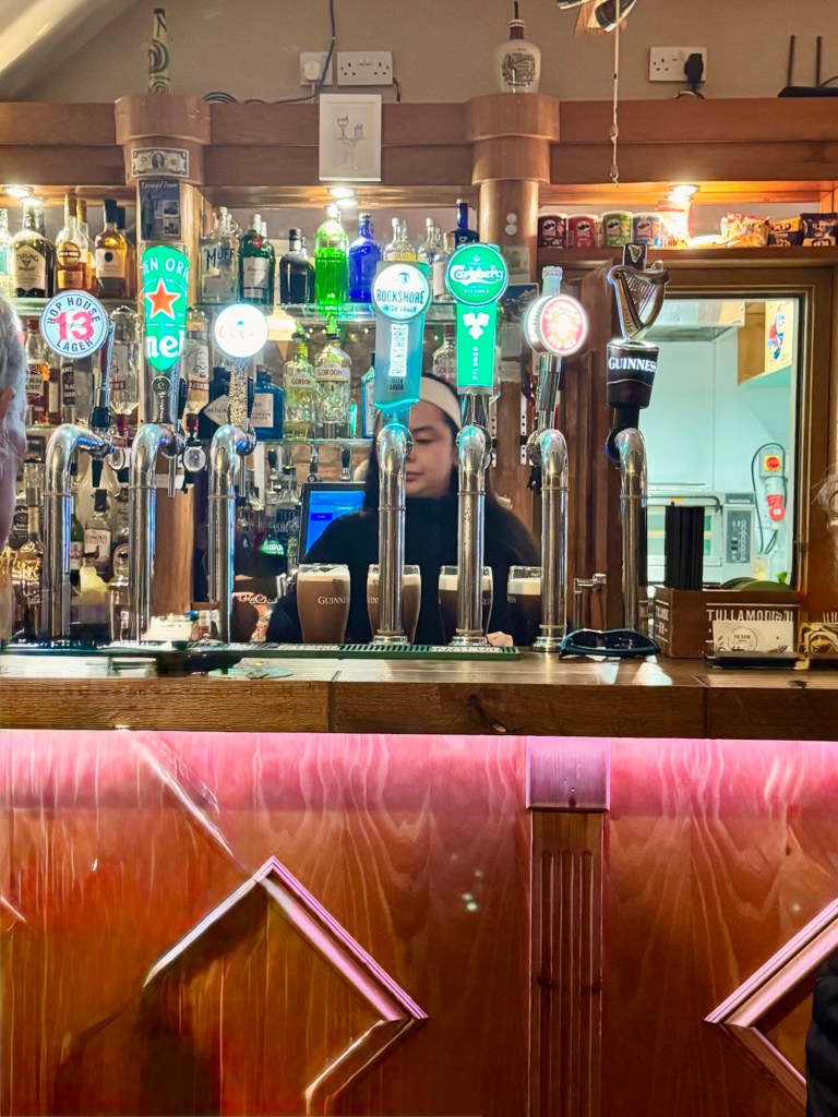
A couple of ladies at one table and a man and woman at another joined in the politically incorrect banter and the beautiful lassie behind the bar kept everyone’s pint glasses full while the raucous laughter continued.

Turns out Boo is a talented photographer but I must say, he missed his calling for he had me laughing so hard I cried and others were equally as entertained. The evening ended when someone called the pub to let Boo know his dinner was ready.😂

We began the day being welcomed by this pupper outside a coffee shop in Adrigole. Turns out the barista is also a local musician who has performed all over the world. His music about the Beara Peninsula is featured in today’s video so be sure to give it a listen.

Our route took us through Castletownbere and after a couple of flat whites in town we cycled to the ruins of Castle Dunboy. No time to write about its fascinating history here but believe me, walking the grounds was a bit haunting.

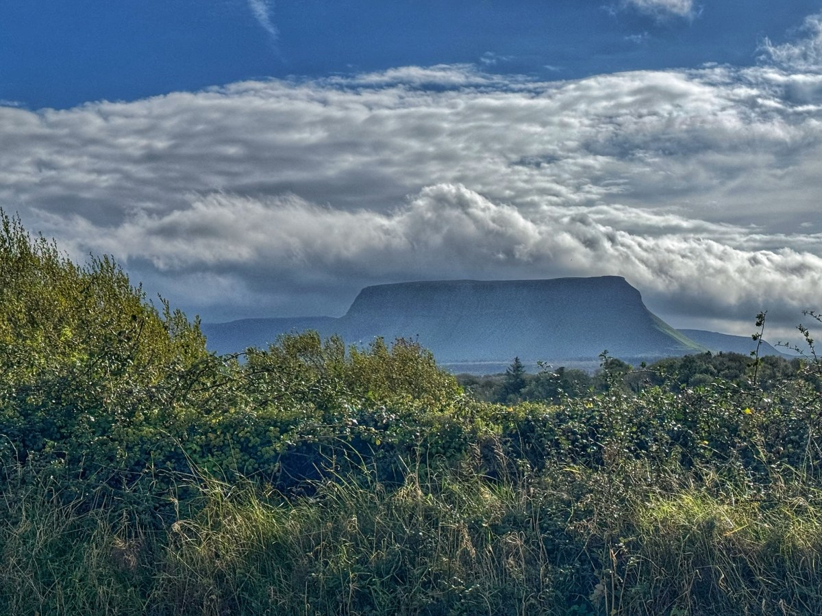
Cycling on the Beara Peninsula was perfection. Scenic, unspoiled, windy, hilly, FUN. Below are a few snaps but please do watch today’s video while enjoying Gerry’s music about the Beara Peninsula.

Towns we travelled through: Adrigole, Castletownbere, Ballydonegan and Allihies

Click on the image below to view today’s vid:

Ireland Day 5: Durrus to Glengariff | 37 Miles, 2,444 Feet Elevation | Sheep’s Head

Riding Stats (Link to Tom’s Strava)

Accommodations (daily mileage, elevation, etc.)

Route Tracker (track our northbound ride on a Google Map)

My brother John said the scenery on our bike trip might be same thing on different day. He wasn’t wrong but I will say, it never gets old.💚

Around every turn and over every hill there’s a little somethin special. It might be a touch of color or it might be a historic homestead. See that rock structure in the second photo down? What was the story here?

Today we went down another peninsula and as we looked across Bantry Bay we saw the peninsula we rode up and down yesterday.

The highlight today however was climbing to the top of Sheep’s Head. It was steep, windy but definitely doable and worth the views at the top.

The sprinkles came and went per usual, but tonight we’re “back outside” in our trusty tent.

Our pitch tonight has a pub and we met the loveliest couple from the UK, Sharon and Paul. They’ve travelled extensively in the US and all over the world. So fun to spend time with like minded people.

On the way to Glengariff we travelled through: Kilcrohane, Loughaun, Bantry and Ballylicky☘️

Click on the image below view more pics on today’s vid:

Ireland Day 4: Schull to Durrus | 38 Miles, 2,050 Feet Elevation | Mizen Head

Riding Stats (Link to Tom’s Strava)

Accommodations (daily mileage, elevation, etc.)

Route Tracker (track our northbound ride on a Google Map)

Best. Day. So. Far.☘️

We weren’t even sure we should cycle to Mizen Head given the rainy and windy forecast (20-25 mph winds) but… we did because we surely won’t be back this way again.

Mizen Head is considered the most southwestern point of mainland Ireland and is known for its ginormous cliffs, sea caves, rugged coastline and spectacular Atlantic views. Its Signal Station was built in 1909 to help guide ships safely past the dangerous coastline.

When we left we had sunshine and a headwind. Upon arriving to Mizen Head we snapped a few pics and just after a blustery squall came through soaking us to the bone as we walked out to the signal station.

We got back to the Visitor Center, put on our rain gear but had hardly a drop of rain cycling all the way to Durrus. And we had a righteous tailwind.

It was the most enjoyable riding so far on the remote, flowy road hugging the coastline. 🌊Unforgettable.

All ya gotta do to keep the rain away is put on rain gear or get an umbrella out. 😉

Today’s route on EV 1 took us from Schull through Toormore, Goleen, and Mizen Head to Durrus.

Click on the image below to view today’s video:
Ireland Day 3: Baltimore to Schull | 27 Miles, 1,630 Feet Elevation | Low and Inside

Riding Stats (Link to Tom’s Strava)

Accommodations (daily mileage, elevation, etc.)

Route Tracker (track our northbound ride on a Google Map)

Low and Inside… and we’re not talking about baseball. The weather has kept our daily mileage low and our overnights, inside and you’re not going to hear any whinging out of me.

Below we are taking cover from the rain in a petrol station.😅

The EV 1 route is brilliant because it takes us on low travelled roads with rural, scenic views and after a few miles, it reconnects us to a proper road so we get to experience a variety of riding.

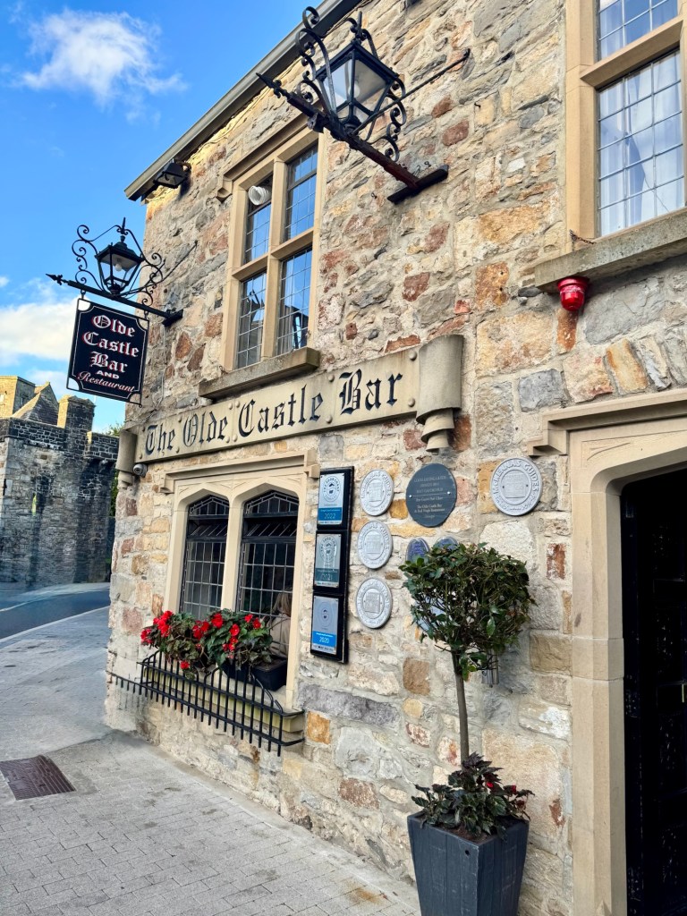
After celebrating 11am Mass in St Patrick’s Cathedral, we were back on the route and Tom discovered a structure that was tucked away on a seldom-used road and a bit off route.

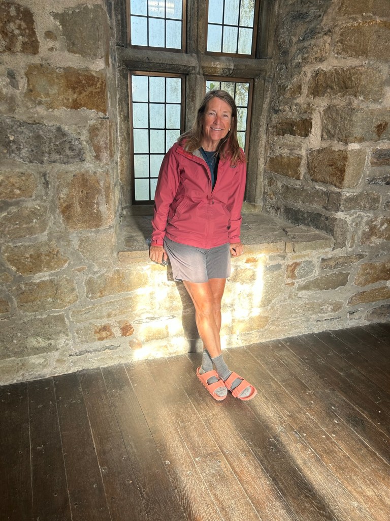
Aughdown Cemetery is a history lovers gem with its ruins, graves and weathered stones.

It was once an early Christian site, dating back to the time when Ireland was transitioning from its ancient Celtic traditions and Druids to Christianity.

The older section sits atop a medieval church which was in use until the early 1800’s. The earliest gravestone markings are from the early 1700’s.

There wasn’t much left of the structure, but that made it even more interesting. And it’s intriguing to me that there are graves IN these ancient structures. We also saw this in the Friary in Timoleague.

But more on the rain. Yes it rained today and it’s supposed to rain tomorrow so low and inside down to Mizen Head is our game plan.

Today we cycled through Skibbereen and Ballydehob on our way to Schull.

Click on the image below to view today’s video:
Ireland Day 2: Clonakilty to Baltimore | 38 Miles, 3,300 Feet Elevation | This is Irish Gardening Weather
Riding Stats (Link to Tom’s Strava)

Accommodations (daily mileage, elevation, etc.)

Route Tracker (track our northbound ride on a Google Map)

A soft day they call it. Not a lashing rain. It’s a rain that makes you think you’re looking through a plastic shower curtain while at the same time getting damp with a plant mister.

The day didn’t start out that way though. It was a glorious, sunny morning with a tail wind!

But before we jumped on our bikes, breaky was in order.

We didn’t bring the kitchen this trip so if a meal isn’t included with an indoor stay or we’re camping, we stop on the way out of town to grab a bite. It’s kinda nice to get a break from cooking.

We knew rain was headed our way and since we’ve been keep the mileage low we thought we were sure to avoid it.

Hugging the coast for most of the day gave way to more spectacular scenery but soon enough the rain tracked us down.

It came with about 10 miles to go and the biggest climb of the day that included a 20% incline. Ouch!

At the top of that pedal-stomping hill, a lovely colleen suddenly popped up from behind the hedge, armed with a cloth bag and a trowel. With a big smile, she cheerfully announced, “Tis a lovely day for Irish gardening!” 🌱

Indeed it is! And after that 20 percenter, we couldn’t have agreed more. 😂

Townslands we cycled through today on our way to Baltimore included Ardfield, Glandore, and Castletownsend.

More “soft” rain scheduled for tomorrow before the lashing starts Monday. 😂

Click on the image below to view today’s video.

Ireland Day 1: Kinsale to Clonakilty | 38 Miles, 2,500 Feet Elevation | What We’ve Learned Already

Riding Stats (Link to Tom’s Strava)

Accommodations (daily mileage, elevation, etc.)

Route Tracker (track our northbound ride on a Google Map)

This is only day one of our northbound ride along the Atlantic Coast but it seems like it’s been two weeks.😂 Here’s the skinny:

☘️Most importantly, there is NO way our iPhones will capture the beauty of this country. It’s simply not possible. Given that, we’ll do our best to give you an idea of this spectacular scenery.

☘️Drones gonna do what they gonna do along the windy Atlantic coast in Ireland.💨

☘️There is a stout brewed in Ireland that we like a wee bit better than Guinness. Murphy’s!

☘️The roads are narrow but the drivers are patient and courteous.

☘️Ya can’t go to the clubhouse at Old Head Golf Links for a stout or cuppa tea without a tee time and clubs. That’s just not the way it’s done. We did get Tom’s pic by the gate tho!

The smallish villages and scattered townlands we cycled through kept us from counting the miles or elevation. We passed by Old Head and through Garrettstown, Timoleague, Courtmacsherry and we landed in Clonakilty.

Two more bits of history:

🚢The passenger ship R M S The Lusitania was sunk by a German submarine on May 7, 1915 with 1,959 people aboard and sunk in just 18 minutes. This happened a short distance off the southern tip of Old Head.

There is a memorial located at a scenic viewpoint we visited along the way. There’s some controversy about the contents of the ship of course. Some claim the Lusitania was carrying munitions to support the efforts of the British in WWI, hence the torpedo.

✝️ Near Timoleague we walked through the ruins of the Timoleague Friary. Prior to the Franciscans, the Augustinians were thought to have congregated there. The stone walls still remain firm and protect many gravestones within the friary although the structure’s roof is no more. It’s worth learning more about here.

By the way, Eurovelo 1 begins in Norway, ends in Portugal and is about 6,000 miles long. We’re cycling just a small portion of it in Ireland.

More pics from today’s ride in the video below.

Ireland: We Made It. Bikes Made It. Let’s Shenanigate!

Riding Stats (Link to Deb’s Strava)

Accommodations (daily mileage, elevation, etc.)

Route Tracker (track our northbound ride on a Google Map)

Time for some shenanigans and a shakedown ride!☘️

Tom boxed up the bikes nice and tidy for their direct overnight flight from Indy to Dublin with us in tow. We take them as checked baggage along with one additional duffle bag that includes our clothing and bike gear.

Since the Tipperary House wasn’t ready for us to check in (I mean it was only 10am), we strolled over to the park across the street to put the bikes together.

I actually went to get some coffee and donuts for us while Tom assembled the bikes. The Tipperary House will store the empty bike boxes and duffle until we get back in early October.

With bike chores out of the way we set our sites to visit the historic Temple Bar and the following day, a tour of the Guinness Storehouse. Tom loves the beer 🍻 here and I love the flowers. They are lovely!

A visit to the Storehouse isn’t complete without a “Stoutie” so yes we opted in for a couple of pints with our selfies on top of the Guinness foam. #typicaltourists

After two nights in Dublin we left our bike boxes behind and rode to the train station for our 2.5 hour ride to Cork where we began our shakedown ride to Kinsale as it’s the starting point for our portion of Eurovelo 1.

The bikes performed well and our legs even better on the hills between Cork and Kinsale, but dang were our lungs heaving and heart pumping.

Arriving in Kinsale with plenty of time to spare, we took in a four-mile round trip walk to Charles Fort, a fascinating 17th-century star-shaped military fortress built between 1688 and 1692 and named for King Charles II.

With discounts for “seniors,” we couldn’t resist a self-guided tour of this impressive structure, with its massive ramparts, bastions and parapets overlooking Kinsale Harbor.

Finally, I can’t say enough about the harbor town of Kinsale with its narrow roads, colorful buildings, pubs and shops. More pics in the video below.