
Waking up in a tent at the back of a truck plaza is an opportunity to meet your new neighbors.
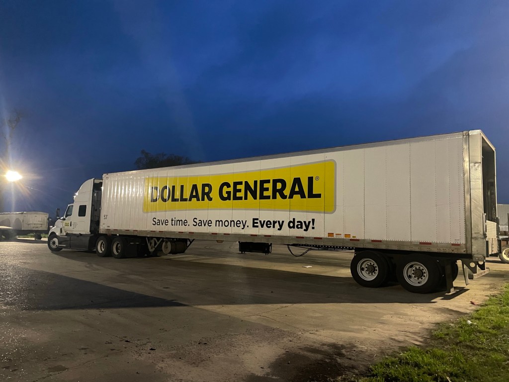
After chatting with the owner of this 75 foot trailer we went inside Maddie’s and were delighted to meet a group of lovely ladies enjoying each other’s company and ours.

Mr. Maddie was bringing out jars of figs he wanted us to try (his mother in law’s recipe) and boudin, a sausage type of thingy that is stuffed with rice, peppers, onions, seasonings and meat. It was delish! Finally Tommy Maddie brought out a loaf of freshly baked garlic bread for us to take on our bikes. These people know how to eat and give.

A few followers have been asking how Tom chooses destinations and places to stay. He does all that and I’m grateful. Here’s how it all goes down:

This is our third cross country bike tour and we have always purchased Adventure Cycling maps. AC has mapped out routes all over the USA. We are currently riding the Southern Tier route (San Diego to St Augustine) and will jump on the last map (500 miles) of the Atlantic Coast route.
We have purchased the paper maps which we use for planning a few days out. They list the route with mileage, towns, services in towns (i.e. hotels, camping, stores, etc). We also download the gpx maps that we use on our Garmins as they give us turn by turn directions and tell us “off course” if we make a wrong turn.

Each night we sit down and do a route rap looking at the paper maps, mapping out the next couple of days and make adjustments if today’s ride was shorter or longer depending on tailwind/headwind/rain, etc.
We usually try to plan a ride on average of 60-80 miles a day depending on wind forecast, elevation ups/downs and actual towns coming up on route that offer services like camping, lodging, etc.
Many small towns we ride through have no services at all. We usually look to camp first to keep costs down, but grab a motel/hotel if a shower/laundry is needed. After we choose a goal town for next day, I get on Google Maps to do my research of that town and route.
The Adventure Cycling maps were created in 2018 and may not be up to date. For example, the maps might show camping in an RV park however many RV parks don’t allow tent camping any longer. The map might show a market during our ride. We show up and the market has been closed for quite a while. I do a lot of reading on google reviews on upcoming motels/campgrounds/restaurants to get a feel of where we should stay/eat. Finally I consistently write reviews on places we visit to help future travelers.

Another resource we have used in the past and are starting to use again in New Orleans, is Warmshowers. I log in and search on a location and all Warmshowers pop up in the area. This is a site for touring bicyclers. Deb and I are Warmshower hosts if anyone comes through Indy. We have a room for them to sleep, shower to use, laundry if needed. We will cook a meal for them and maybe a beer or two and sit around and get to know them and hear all their traveling stories. They email us during their ride to see if we are available to host on a certain date.
We are riding through NOLA on Friday and I emailed Jerry. He can host us Friday night. Jerry and his wife are avid cyclists and Jerry is a pastor. I have a feeling we will be doing more warmshowers as we ride through Florida with all the Spring Breakers and limited campsites.
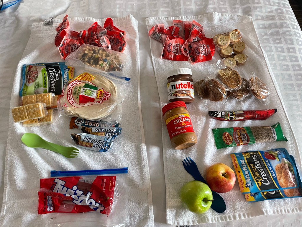
He makes all of the above ⬆️ look easy while I sit around and play with photos, music and blog. 😂 And I also make sure we don’t run out of Nutella.
Click on the image below to view more pics and vids:
