We debated last night whether to take the alternate route to avoid riding in the deep lava sand on the 15 mile Yellowstone Brach Line rail trail. We decided to always “Float the main stream” and keep to the Great Divide main route when possible.
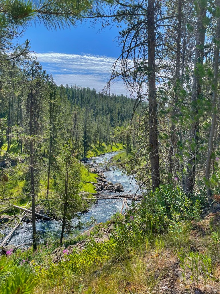
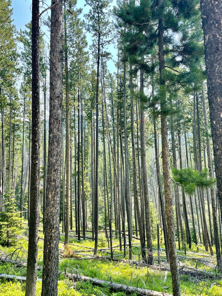
The deep lava only lasted a couple of miles and the remainder rode along the Warm River below and the view was absolutely breath taking.
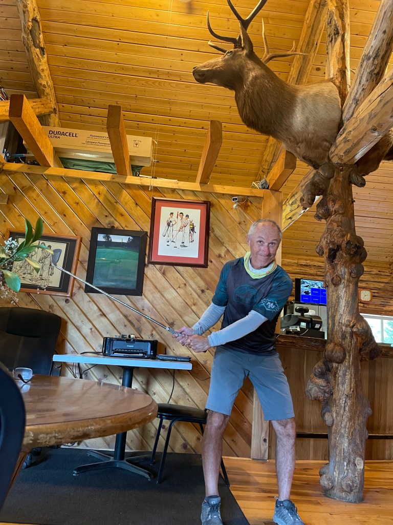
We planned on a short ride today with a stop at a local golf course for lunch. I wanted to take some time to play the 9 hole course built up in the mountains, but decided we better head on down the road 😁.
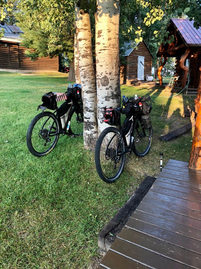
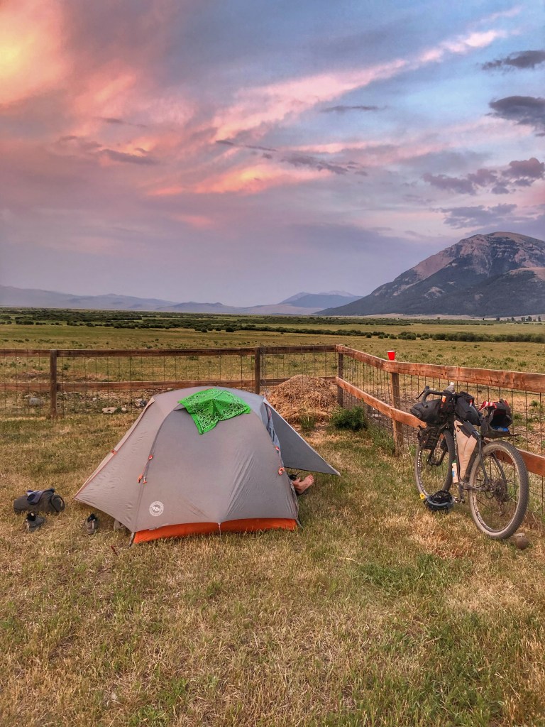
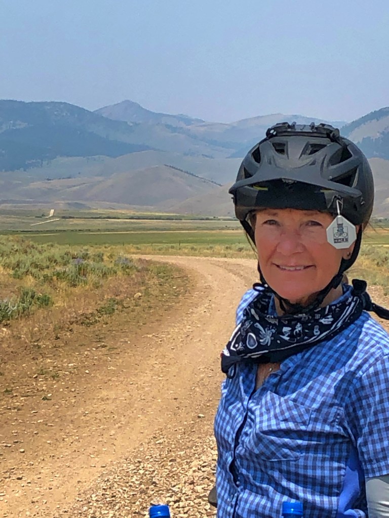
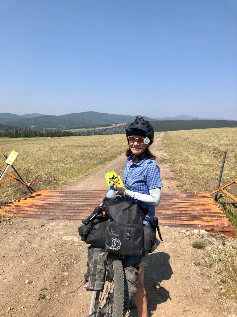
Our final stop at Squirrel Ranch was just a few miles ahead. We were in need of a soft bed in a cabin, shower, and laundry followed by a good meal sitting and talking with our new friends Leeann and her dad Sheldon. Sheldon is a walking encyclopedia (google for the younger crowd).
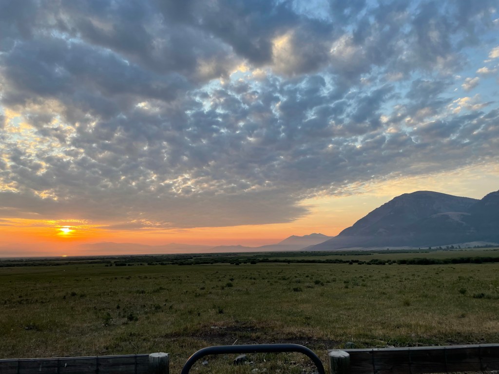
We are looking forward to entering Wyoming tomorrow and heading to the Colter Bay area on Jackson Lake.
Click on the image below to view the video.
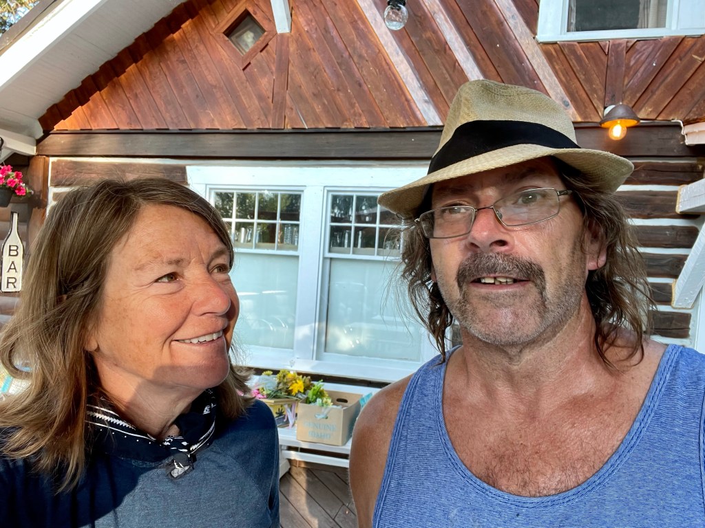
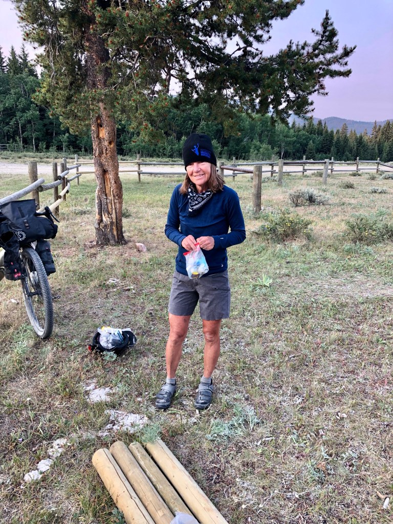
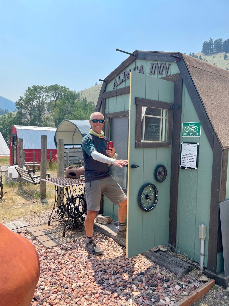
This is Nick. He does it all at the Squirrel Creek Ranch and he understands customer service. Thanks for everything, Nick!
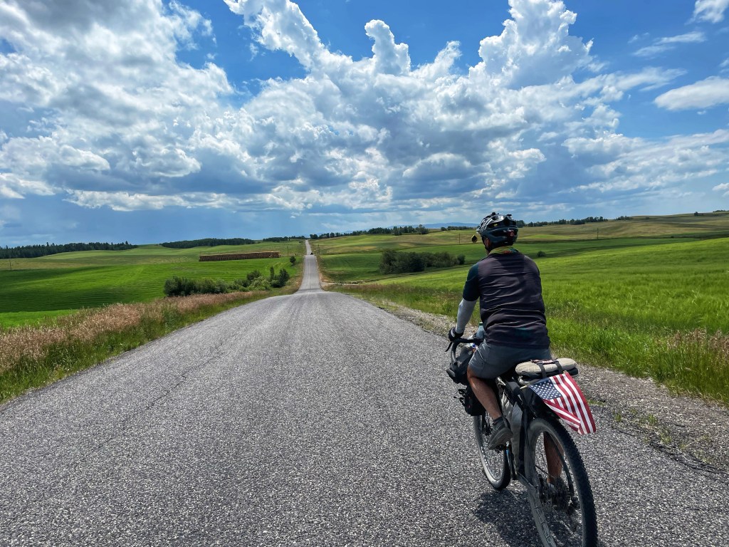
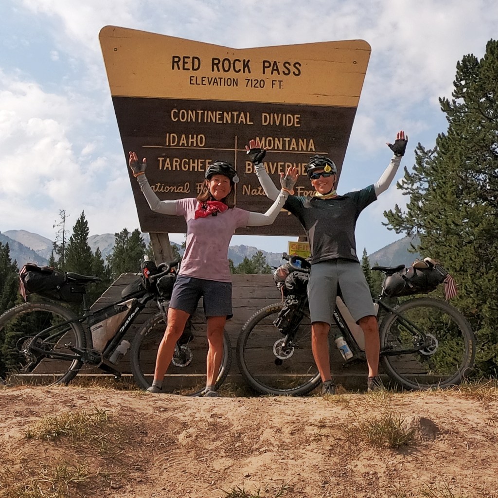
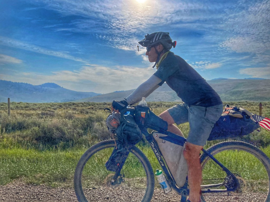
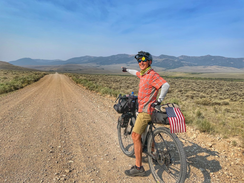
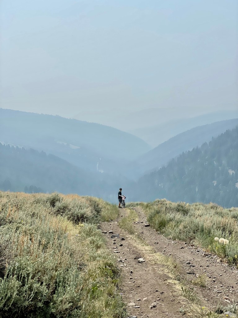
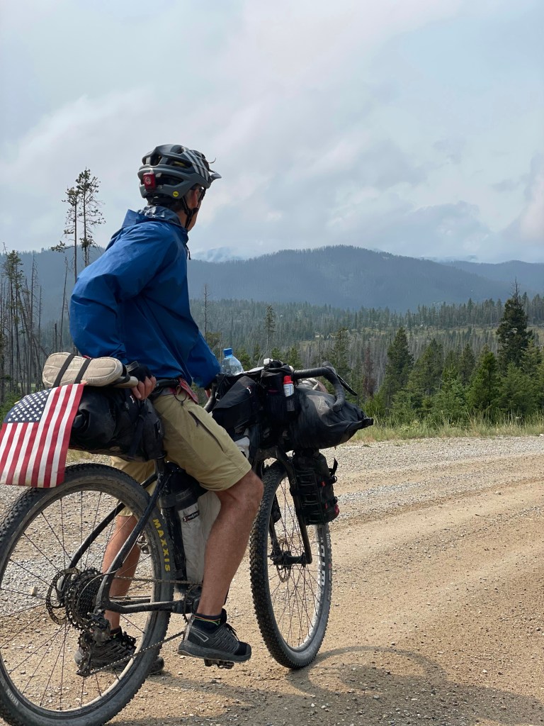
Today we drop into Idaho for just a couple quick days and then on to Wyoming. The Idaho state line is actually at the top of Red Rock Pass. How cool is that?
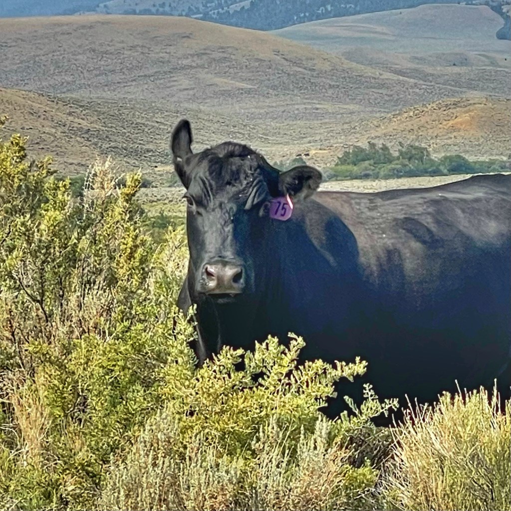
Had a little snafu today. I was getting on my bike and commenting that I think there are cows at the top of the pass (saw fresh cow stuff) when I lost my balance and fell over with my loaded bike on top of me. I make it all the way up and over Lava Mountain and Fleecer with nary a fall and I fell over while getting on my bike. How embarrassing. Gratefully I didn’t fall in the cow 💩.
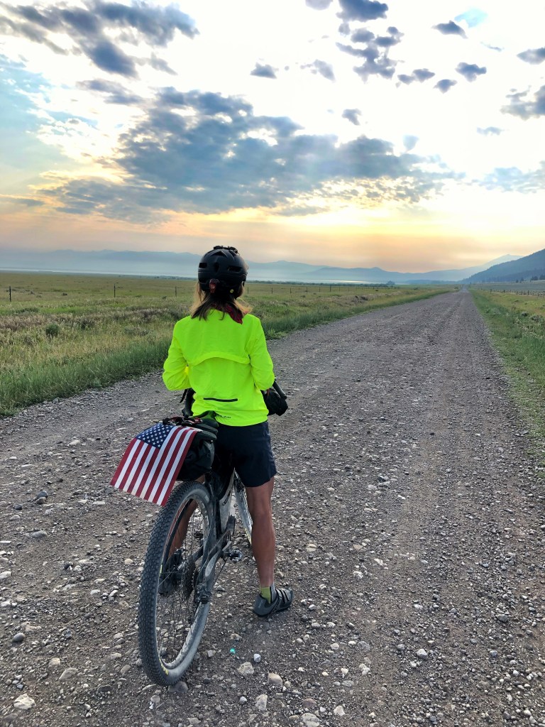
We had nice easy riding with spectacular views in the morning.
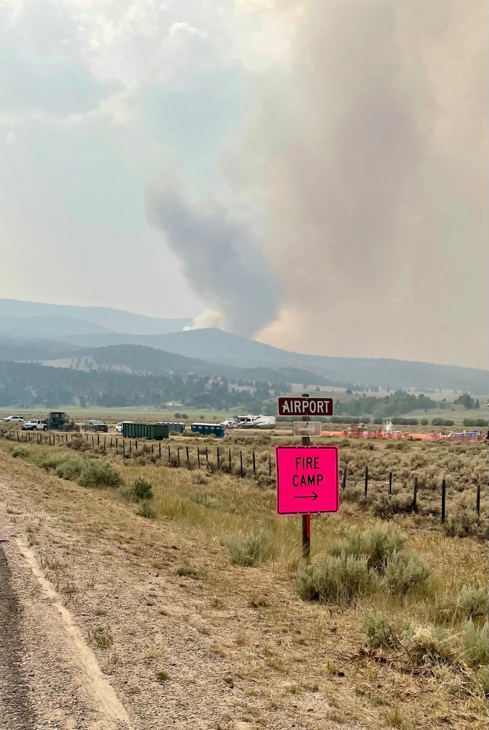
And then we got to Big Spring and Island Park. The community of Big Spring is experiencing somewhat of a water emergency as their drinking water has been contaminated. Ya can’t drink the water! So instead of filling water bottles we bought water and ate ice cream. First it was grizzly bears, then the wildfires and now water issues. I’m not going to ask what’s next. 😂
At Island Park we could drink the water but dang… the ATVs are out of control. These aren’t farmers or ranchers using them for work. Its mostly youngsters and a lot of them. I think I know why businesses can’t find employees. It’s nuts! We got out of Dodge as fast as possible.
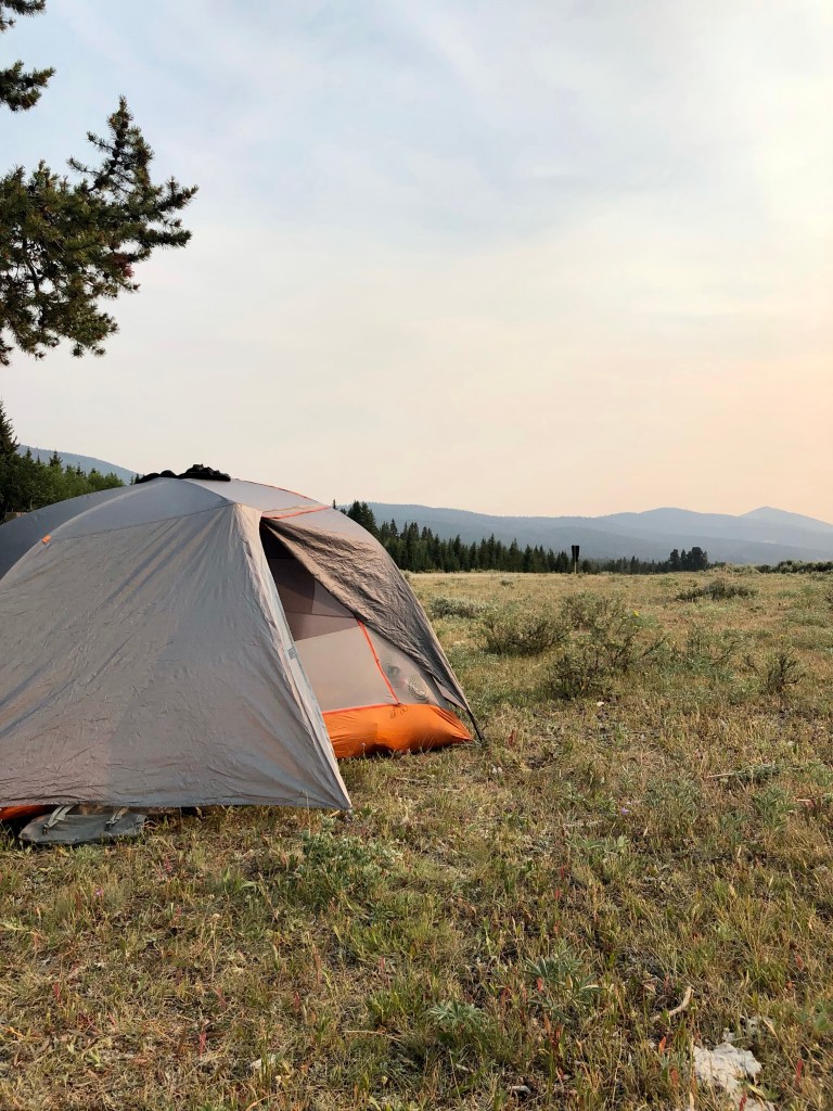
We’re camped at Buffalo campground just outside of Island Park and on the hunt for some fried chicken today. Thank you all for following! It means a lot. Sending hugs and good vibes your way today. 😘
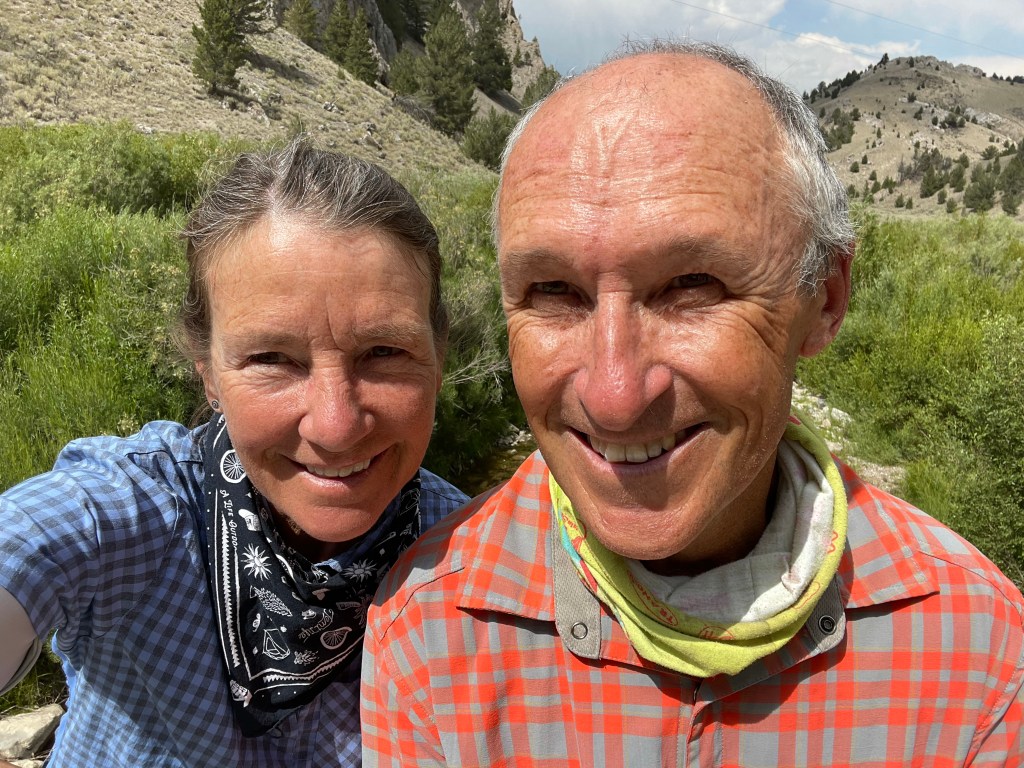
Today began most ordinarily and ended with the most exceptional people. Here’s how it all went down.
We woke up camped in Deadwood Gulch to fierce wind knocking on our tent. Our first thoughts were, “Oh please God, let that be a tail wind.” We planned a 70 mile ride to Upper Red Rocks Campground just past Lakeview.
Having packed up, we started peddling in a TAILWIND toward Lima to get breakfast and resupply. Tom said maybe we should keep going because with this wind we could be in Colorado by noon.
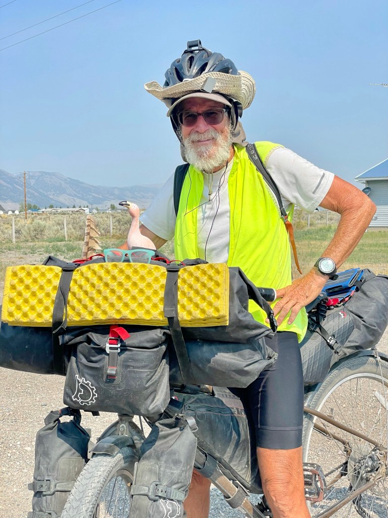
Right out of Lima we ran into northbounder Mark who shared some stories, gave us some helpful ride intel and shared a few laughs. I could have listened to him all day. Cyclists find all sorts of booty on tour… everything from food, money, ride mascots, etc. but Mark topped them all. He found, and still carries a sheathed saber. I kid you not. Below he’s pictured with his riding mascot, a rubber Flamingo.
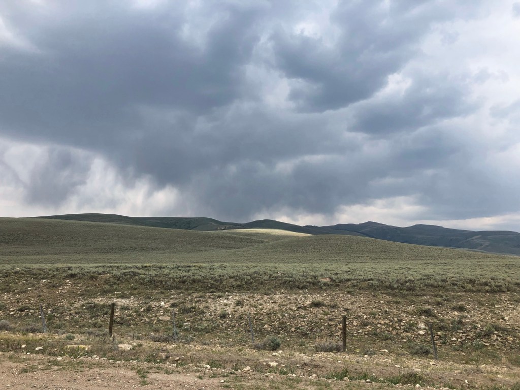
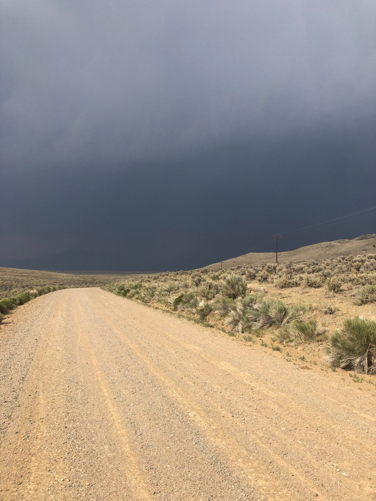
Alas the tail wind was short lived and shifted to a full blown head wind. The roads were rough and the sun was was out without a spot of shade all day. We outran another afternoon thunderstorm and spotted another forest fire we later learned was burning about 15 miles away.
I “mustache” you a question, Tom. When in the heck is this wind going to stop?
Thirsty, a bit tired and ready to call it a day we stopped at an outfitter where we thought we might be able to get a cold drink before riding on six miles to Upper Red Rocks. We’d been fantasizing about how cold the water might be. They were closed.
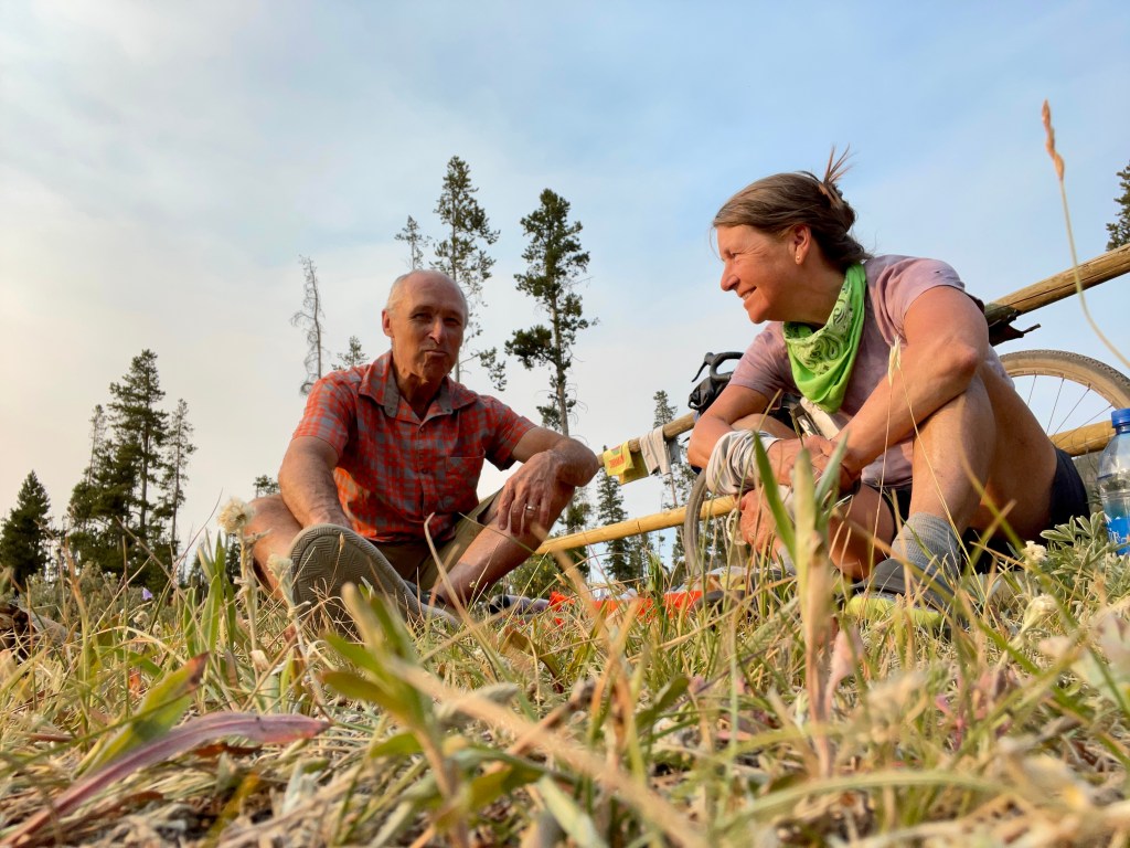
A little dejected, we rode ahead through the community of Lakeview, and noticed a woman and a man carrying an empty growler walking down the gravel road. As you know, Tom and I love our beer, cold beer especially and could only imagine what it might taste like after a windy, dry, dusty day of riding.
Tom jokingly said, “Don’t be twirling that around in front of a couple of thirsty, tired riders. He replied, “Pull over by that camper and we’ll fix you right up.”
I’m not sure if I’ve ever experienced such a well timed bit of trail magic but I know this family sure threw out the red carpet for us. Jeff and Jill, both scientists, live here in Lakeview with their daughters. Jill’s brother Andrew and his wife Jen and their two kids travelled from Vermont, with camper and mountain bikes in tow. Jill and Andrew’s mom, Sandy was in from New York. We chatted all evening. They fed us, kept our red solo cups filled and let us throw up our tent in their back yard. Tom and I kept shaking our heads at the welcoming bunch and how grateful we were to have met them.
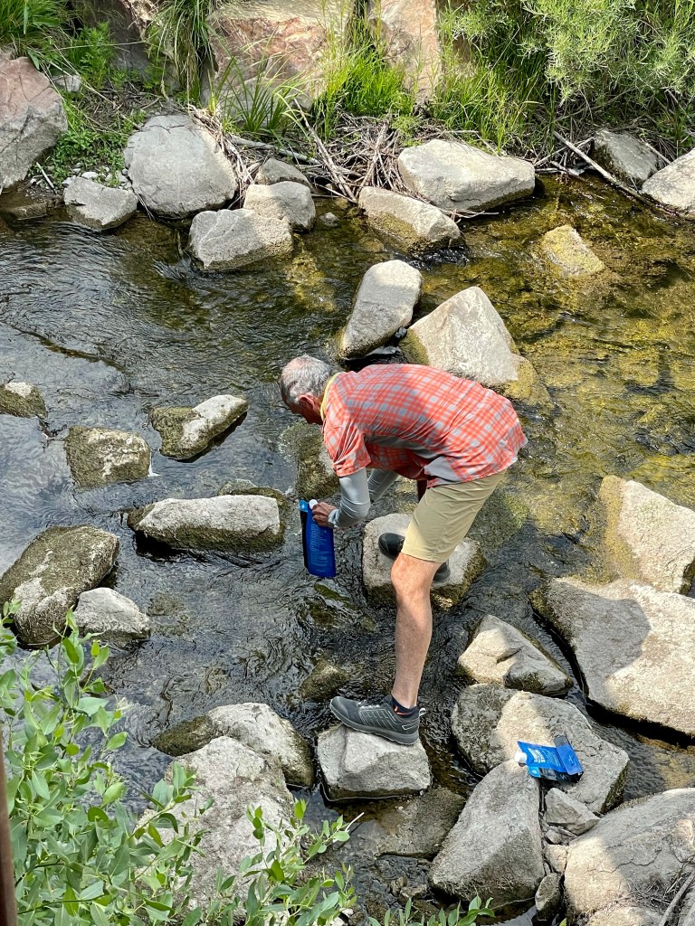
We didn’t take many pics today. It was a longish ride and with nothing extraordinary, except maybe Lima Dam. 😉 And we were certainly too rapped up in the convos to take pics. Unless one is snapping pics, without Internet or cell, ya just don’t pick up your phone.
To give you some perspective on riding verses racing the Great Divide, we just finished our 15th day of riding and finished Montana. Jay Petevary, winner of this year’s race, finished 2,500 miles and won the race in the same amount of time. I can’t imagine the athleticism, mind set and maybe a little bit of luck that involves. Hats off to JP.
Tomorrow we leave Montana and say hello to Idaho. Here‘s what I’ve come to learn and love about Montana: I’ve never seen more American flags flying, friendly doggos, tasted thirst quenching craft beers, encountered helpful folks, especially those riding ATVs. It’s a land of vast spaces, mountain vistas, and sweet mountain cabins tucked away. Montanans love their land. And by the way, did you know one can experience snow in any month of the year and that there’s likely more cows than people in Montana? That’s according to Mike at the Silver Saddle in Basin so don’t quote me.
Click on the image below to view the video.
We have crossed Montana latitudinally (in 2018) and longitudinally on bikes during the last two weeks. It’s a pretty magical place. So long Montana. It’s not “goodbye”, it’s until next time.
Today was all about the cows. And the wind. I think that Montana is slowly introducing us to Wyoming, the state known for its strong enduring winds.
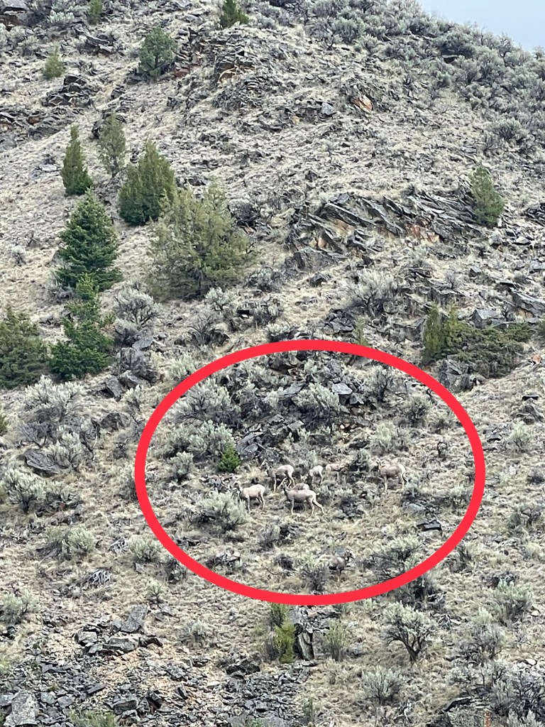
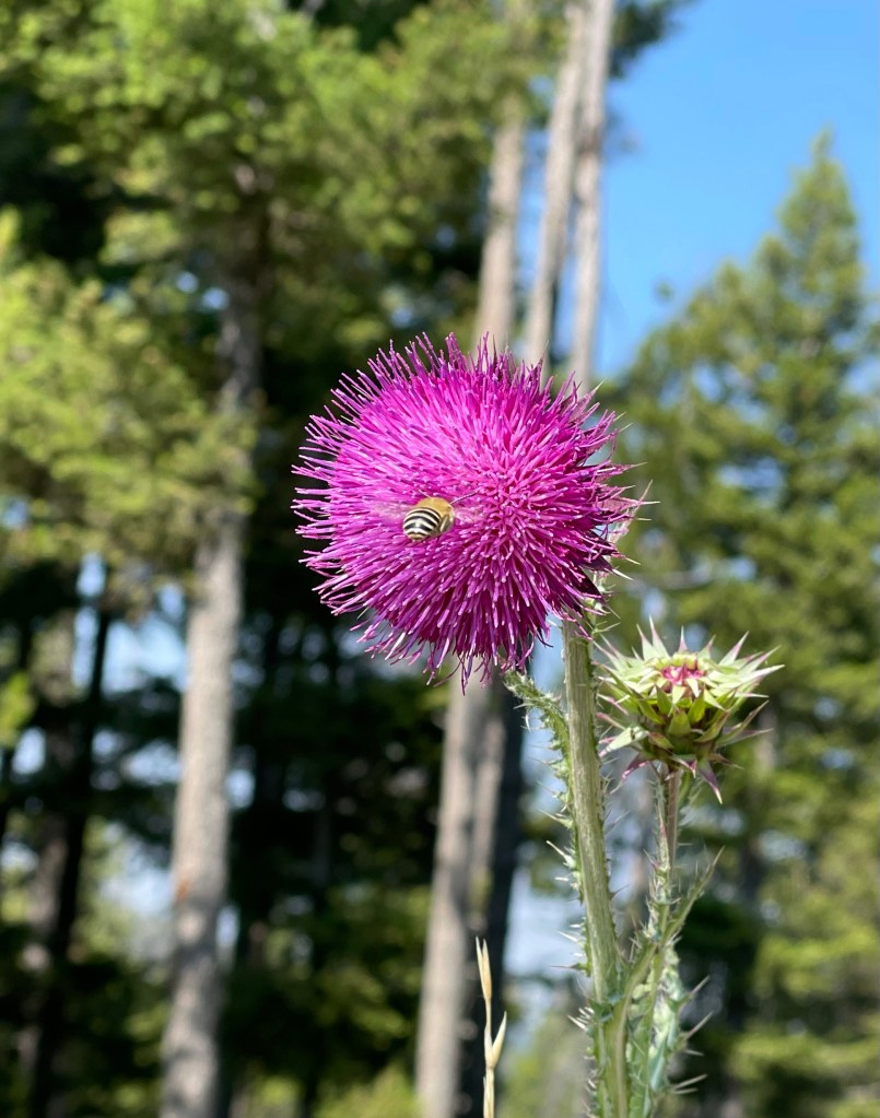
We also saw a badger and a nice sized herd of big horn sheep. They blend in so well with the landscape they are hardly noticeable. And oh yea I accidentally ran over a small snake. Didn’t mean to. Just happened.
Both of us are salivating in our tent right now for a LaCroix. We have been drinking lots of water but it’s just not quenching our thirst. It wasn’t super hot today but the route over Medicine Lodge Divide was all day sun and sun wind.
Click on the image below to view the video.
Looking forward to hitting Lima tomorrow in about 15 miles for some carb loading – like carbonation. We need some COLD bubbly water.
Had pepperonis and string cheese on tortillas for din din with assorted other snacks. Not missing the stove. Not one bit.
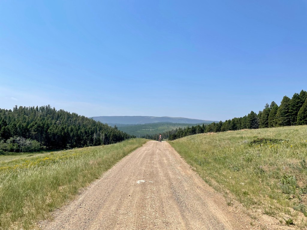
It was an easy roll up and down paved Scenic Pioneer Highway so we decided to call this our “rest” day even though we are still riding. Both of us feel good! Legs, lungs and hearts are full and feeling strong.
Before we fell asleep last night in the tent (sans fly) we noticed ashes falling on our tent from the nearby Wise River forest fire. We quickly put the fly on – good thing we did as we got rain overnight (and no holes). While packing up quickly Tom asked me if it was Friday today and my reply? “Yes honey. Yesterday was Thursday our normally scheduled date night and you took me down the Fleecer Ridge death march.” 😂
We heard a tremendous amount of racket up the way – didn’t know if they were slaughtering cows or tickling them. However the closer we got, we saw cowboys moving a herd of about 75 cows to a new pasture – 12 miles down the road. What was most intriguing to me what that the 10-12 herding dogs knew exactly what to do. Good puppers!
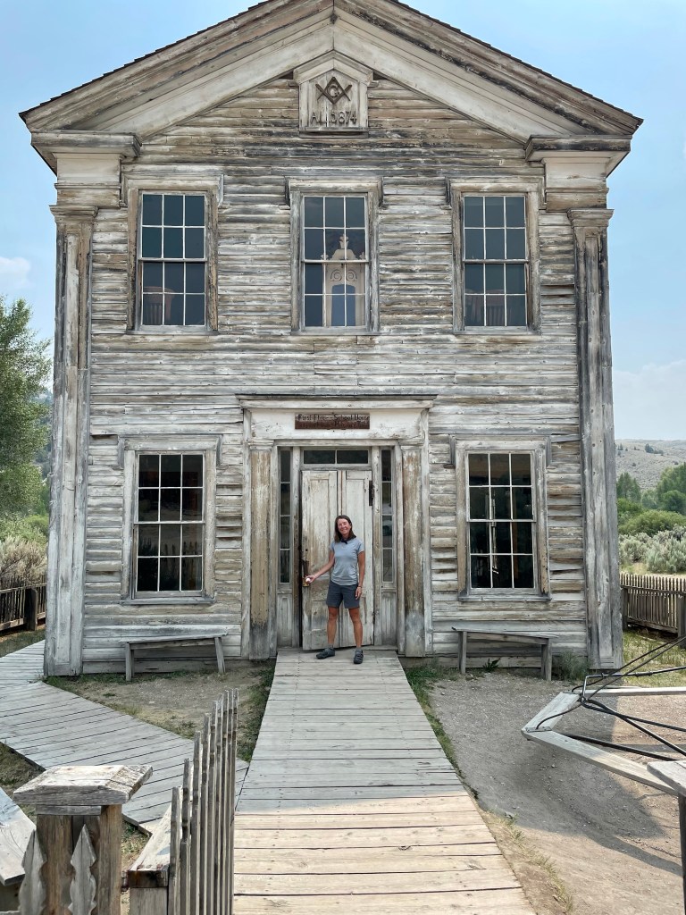
Since it was our “day off” with lots of pavement and mostly flatish roads we decided to be tourists today and stopped by Bannack State Park. The Park features a historic village and we missed the festival by just one day. But… it was worth a stop to hang around for the afternoon and tour the village.
On to Grant, MT to the Stage Stop Saloon, Cafe and Hotel. The saloon is over 150 years old and originally rolled down the road to its current location. It could not have come at a better time. After leaving Bannack we were chased by storms late afternoon and a nice tail wind pushed us all the way into Grant.
Tomorrow we return to gravel and more climbing over Medicine Lodge Pass. 🚵🚵🏻♀️
The day started not with my phone alarm but from the coyote’s yipping and the cows mooing around our tent. We packed up as usual and started our day with a few unexpected steep climbs but then a wonderful descent down the mountain we climbed last night.
We knew all about the huge challenge ahead of us with the 10 mile climb up Fleecer Ridge, and the bigger challenge of descending the other side. This part of our map offers an alternate route to bypass Fleecer, but that is not the way we roll.
The climb was not too bad for the first 9 miles. We also got to see Butch on his ATV twice during our climb. He is local to Butte and comes RV’ing with his family. He was out for a 17 mile drive this morning in the mountains. He warned us what was at the top of Fleecer, and said don’t even try to ride down the other side, it was at least a 30% grade down and totally washed out. So we made it to the top after a “hike-a-bike” up the chunky, too steep last .25 mile. Time for the fun (not). With both hands on the brakes, we started the descent. It reminded me of wrestling a steer down a mountainside. I was never so happy to get to the bottom. The rest of the decent to Wise River was much deserved.
As we rolled over the actual Wise River, we stopped to chat with a fly fisherman who told us about the forest fire six miles away. The town was on alert for possible evacuation. It was definitely a smoky day for us but extra smoky in Wise River.
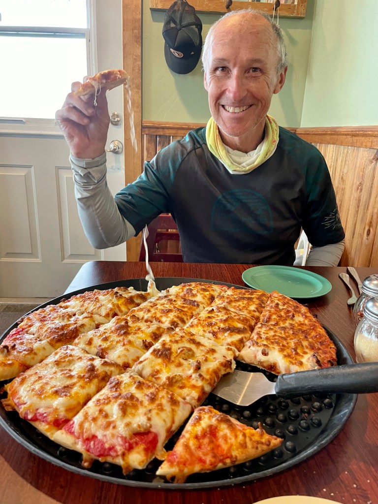
We stopped at H & J Saloon for pizza (Butch’s recommendation and finally connected to WiFi to open up our forest fire app (thanks Dan). We were going 13 more miles south which seemed safe from the fires.
Prayers go out to those up on the mountain fighting this fire to keep it out of town. Thirteen miles later we found our campground named 4th of July Campground. (Since we started our ride July 4). We found the perfect camp spot along Wise River, a perfect place to take a dip and get cleaned up from a very trying day 😁👍
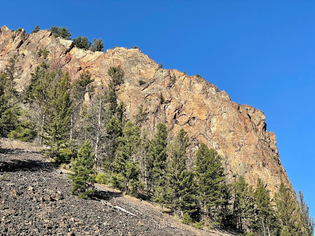
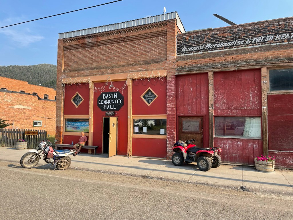
It was a quick pack up this morning since we were sleeping in the Basin Community Center. Once out of Basin we noticed the geography was again changing with the addition of lots of rock formations.
We thought it would be a quick peddle to Butte but the ride ended up taking longer. I think Lava Mountain the day before sapped some of our energy. After lunch and getting supplies for the night in Butte we headed to our campsite. Our target was an “informal” campsite at a CDT (Continental Divide Trail) trailhead. We weren’t sure what “informal” meant on the map but we took our chances.
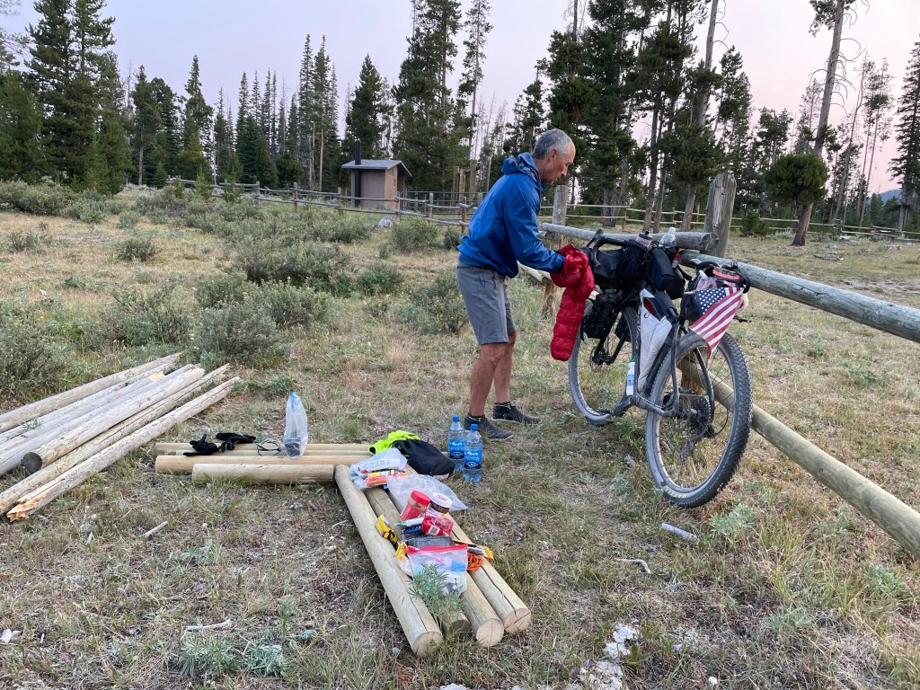
It was twenty more miles to our campsite with the last 10 miles uphill. Camping at 7,300 feet! A first for both of us. There were two CDT section hikers camping there – “just” doing 1,000 mile section this summer.
It was lovely up there although a little hazy from all the smoke. Apparently there is a forest fire just six miles away from Wise River, a little town we will ride through tomorrow.
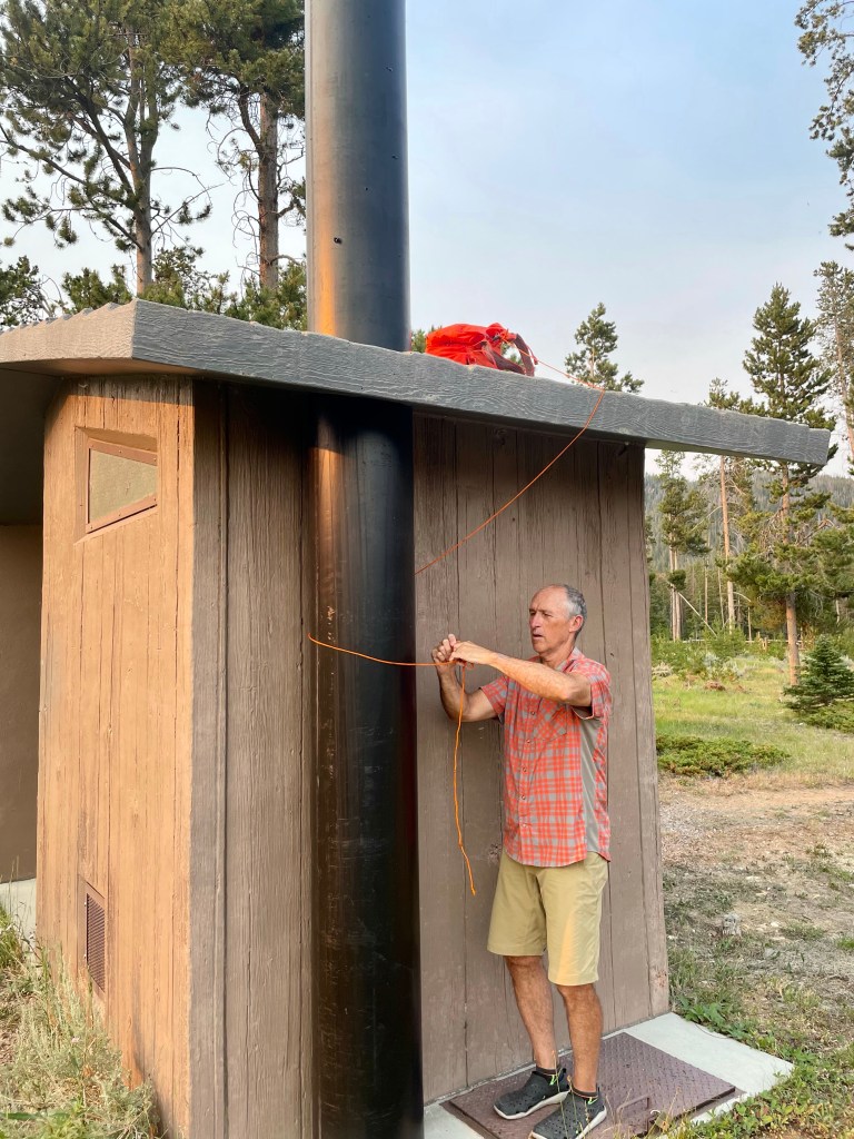
After a quick dinner, we stashed food in a bag and tossed it up on the roof of the privy. Seemed like as good a place as any to keep Yogi away.
Woke up about 9pm and we were surrounded by cows. They’re quiet when they sneak up on ya! They left us alone though.
At some point in the night I had to leave the tent for a bio break and noticed the Big Dipper positioned right over us. And so many stars. Just perfect!
Ya know how Dorothy says she’s not in Kansas anymore? Well today it became REALLY apparent that we’re no longer riding the flat Monon rail trail in Indy. What a great day of riding and at our highest elevation yet! We didn’t go long but we went high.
We were a little apprehensive about Lava Mountain based on other rider’s experiences. Even our grandson Archie who loves volcanos said, “I don’t think Lava Mountain is a good idea” when we checked in last night. But it’s on the route…so there’s that.
We rolled out of Helena and stopped at a gas station for our usual (food and bio break) and within just a couple miles we were already into our first climb, just an easy six.
And for the first time we got a little rain but it was nice as it cooled the temps off and settled the dusty roads a bit.
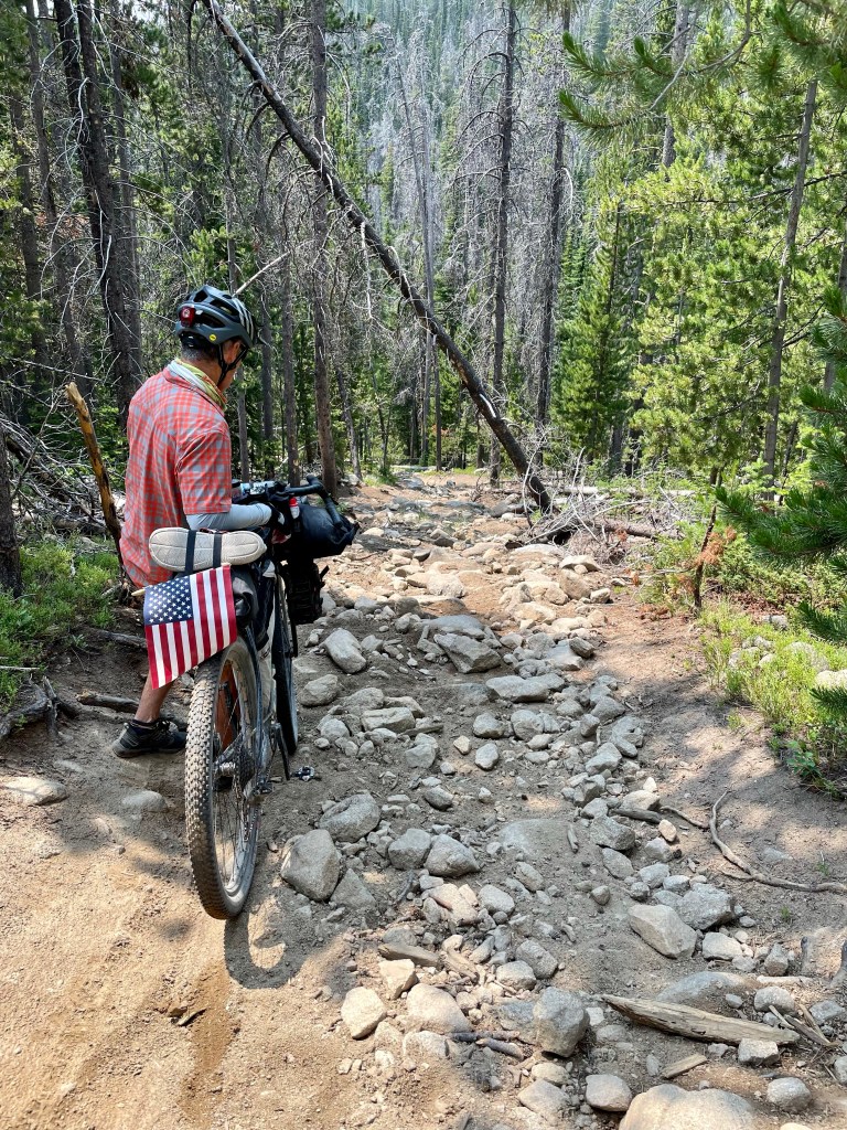
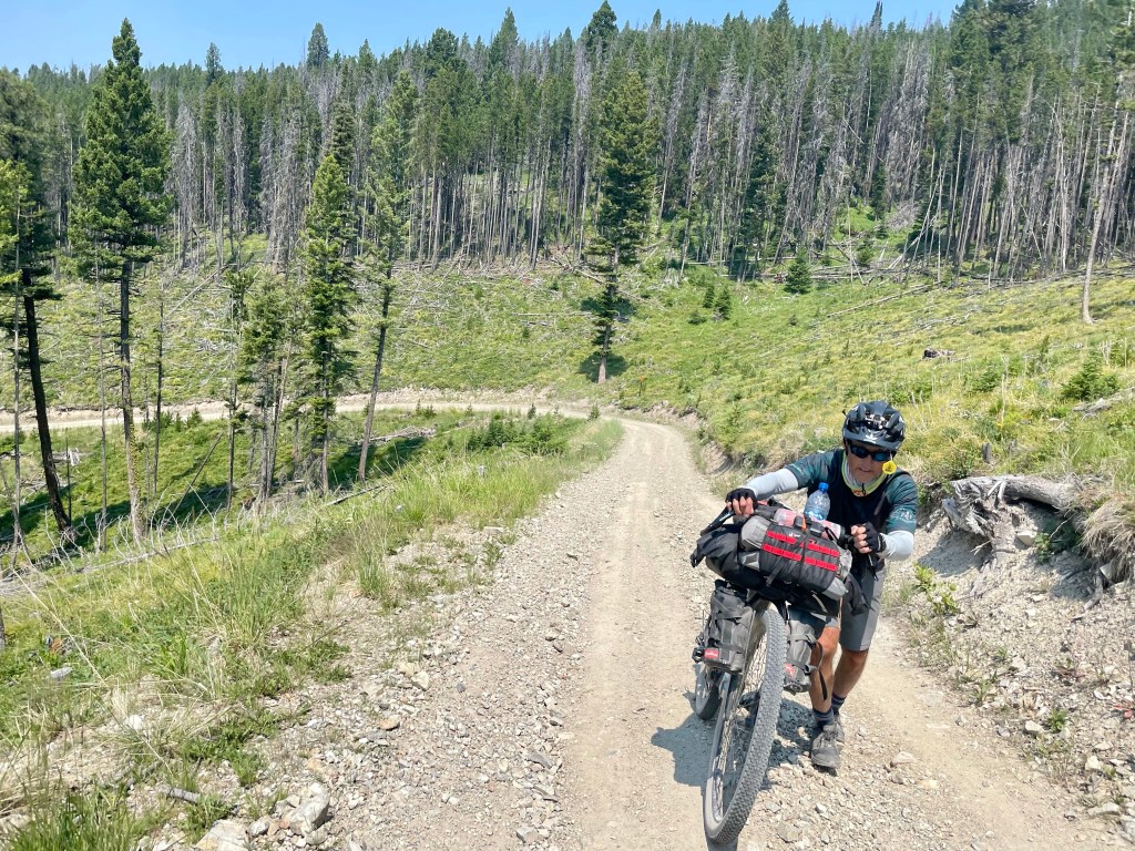
The 12 mile climb up Lava started easy enough but the last few miles were ratchet with cascades of boulders, deep erosion, downed trees and extremely steep inclines. There was quite a bit of hike-a-bike at the top.
The descent was the same at the top – lots of hike-a-bike but before we knew it, we were bombing down a road that ran adjacent to Cataract Creek – gorgeous.
The route took us right into Basin where Mike served us some dinner and bevvies at the Silver Saddle. #tacotuesday.
It seems like we are getting in our groove now as far as packing up, finding our way and resupplying when necessary. Hoping for a little more mileage tomorrow as there aren’t any ginormous climbs.
No animal sitings today – not even deer flies. 🤙🏻
Sleeping in the Basin Community Center tonight on the carpeted stage. It’s been here since 1908 and costs cyclists just $5 a piece to sleep here. There’s electricity, cell service, water and a bathroom. What we else would ya need? 🤷🏼♀️
Heading to and through Butte tomorrow. Camping destination unknown.
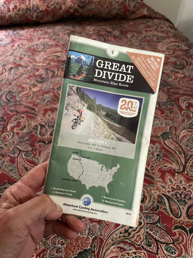
And just like that… we are finished with the first map. When we first loaded our Garmins with digital maps we had 371 miles to go and 28 climbs. All done with those now. ✅
Lemme tell ya… there were MORE than 28 climbs. I don’t know who’s doing the counting but they need to check themselves. 😂 An added bonus – we are out of grizzly country so no more singing and states and multiplication review to alert bears we’re in their lane.
The morning started with a very peaceful ride to the beginning of Mullan Pass.
Another chunky climb lead to majestic open countryside at about 6,500 feet. Soon after, we dropped down to open cattle grazing until the route brought us to Priest Pass. This wide open Montana is different from what we experienced last week but equally spectacular. It’s so vast.
Next as luck would have it (‘cause we’ve been pretty lucky 🍀 on this ride so far), we ran into the Dicksons, a northbound couple I’ve been following on Instagram. It’s a lot of fun running into these folks in the middle of nowhere. I feel like I already know them.
In Helena this evening sleeping with pillows and sheets yay! Tomorrow we ride to Basin.
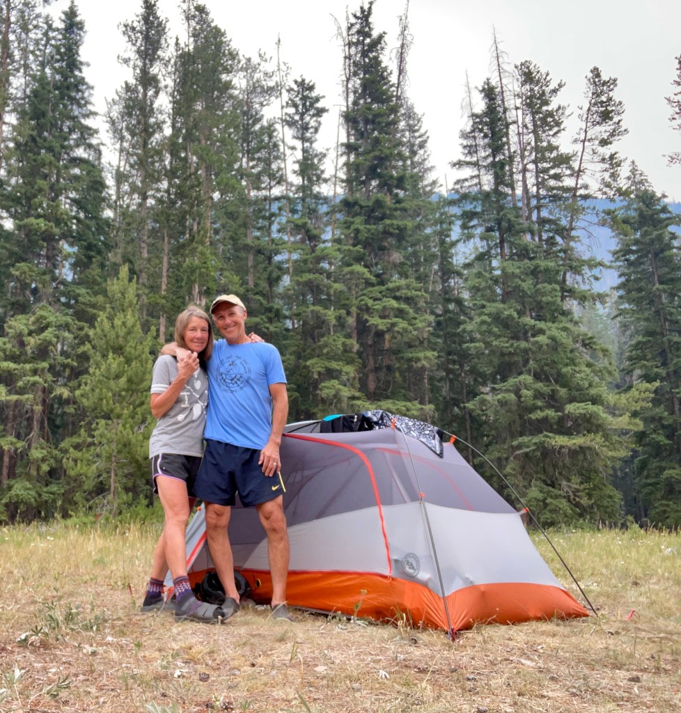
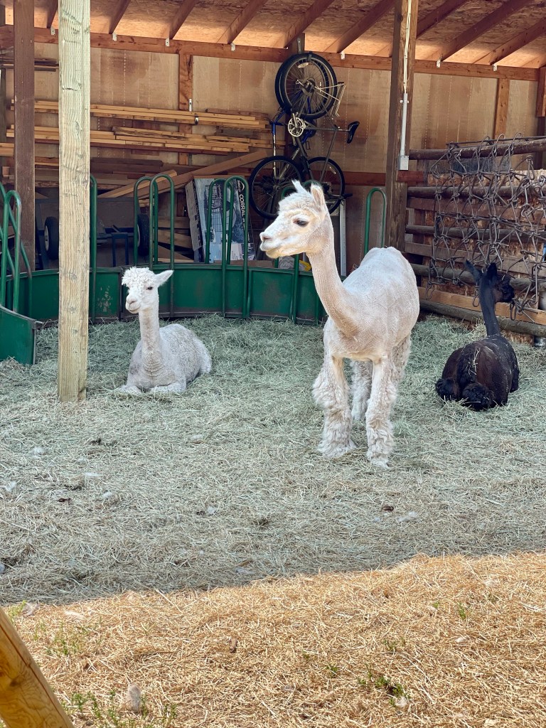
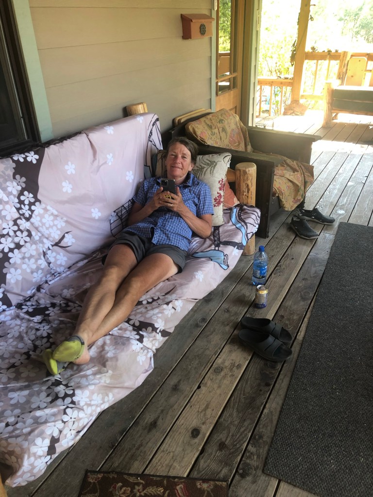
We are both in heaven right now sitting in the shade on Barbara Nye’s front porch at the Llama Ranch. The hummingbirds are buzzing around and the breeze is blowing. She’s lived here 32 years and a few years back she decided to host Great Divide cyclists. It is an oasis for cyclists in every way and she provides it ALL at no charge. Her only request is that we “pay it forward” and return the kindness she has shown us to others.
There are 5-6 different sleeping structures or bikers can pitch tents with the llamas if they wish. Each structure is like a tiny house, well except for the Teepee.
In each tiny house are beds, a way to cook, food, snacks, drinking water. Heck there’s even butt butter and a bottle of wine. Barbara has truly been thoughtful about taking care of our needs.
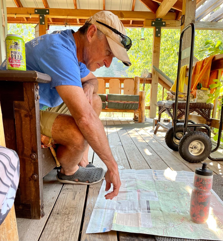
She had cold drinks and sammies (Turkey for Tom and tuna fish for me) and she just walked out with half of a freshly baked cake for us. I’m telling you, she’s Saint status in my book.
I’m blogging and Tom is checking out the map. I’ll take couch over concrete any day for blogging as concrete outside the gas station was it for me this morning.
Ok… so the ride today was short as we knew we wanted to stop at the ranch. However the climb up Poorman Pass was steep, rocky and hot with a lot of big biting flies. I know it’s the same old story but that’s what it was. And you know what? That’s what we came out here for (except the biting flies lol)
The thing about the flies is, you’re pushing your loaded bike up steep rocky paths and you can’t swat the flies so they just gnaw on you. #hateem
If you’ve followed us in the past you know jigs or dances are part of our gig. Today was my turn to do the Victory Dance atop Poorman. Tom that means you’re on deck.
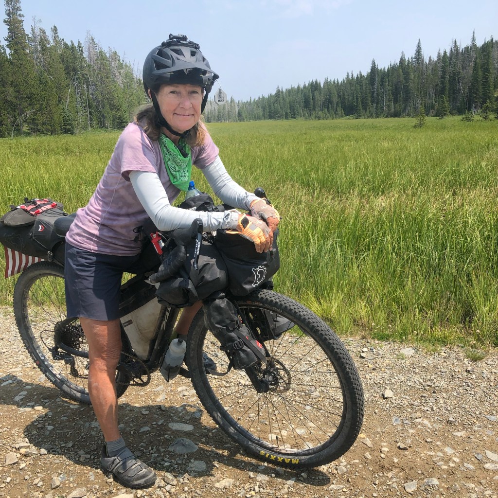
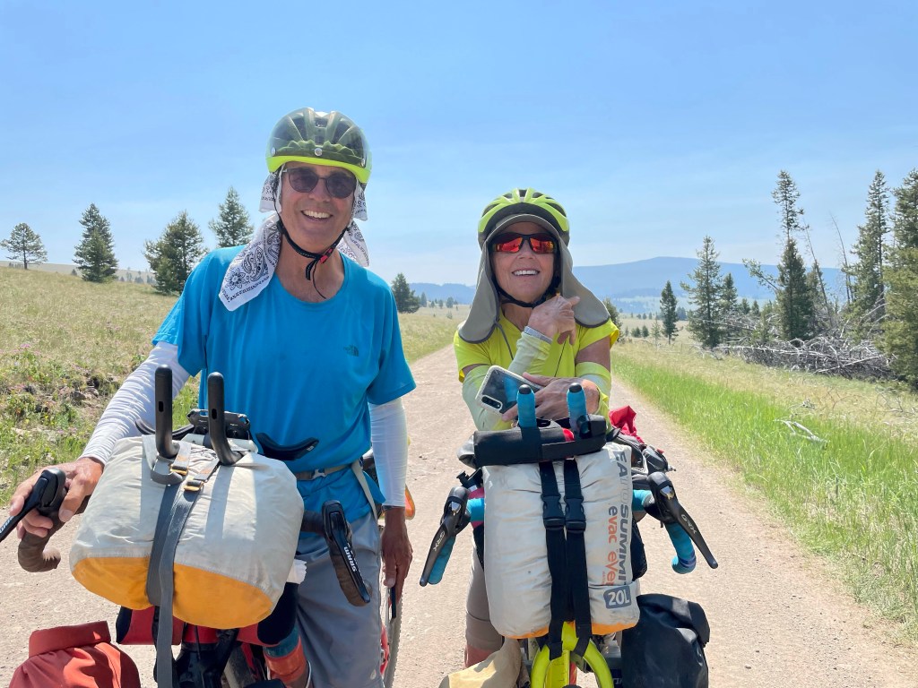
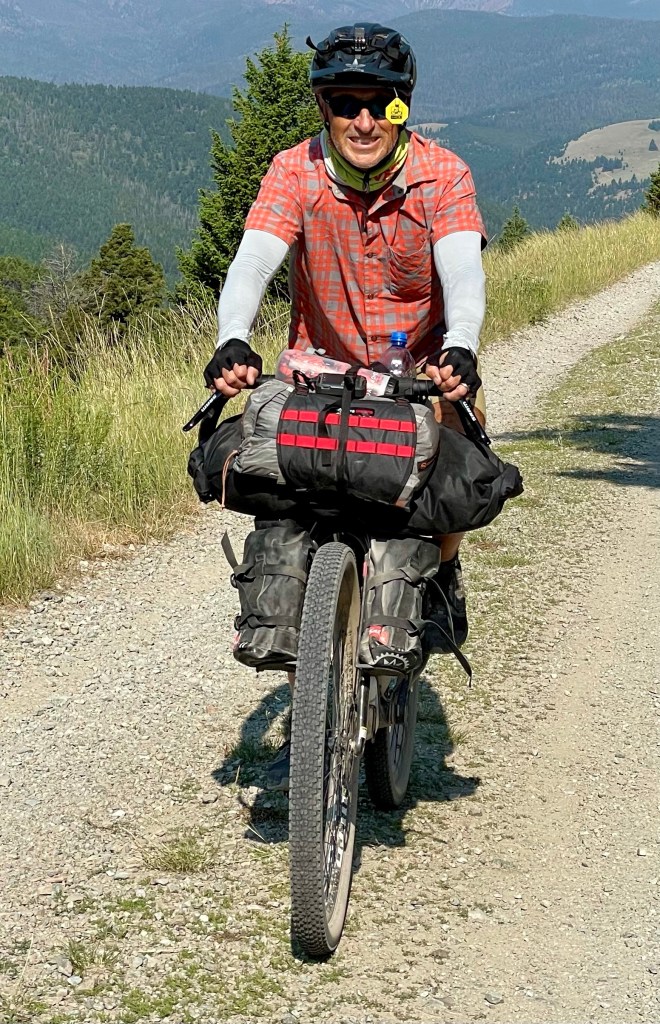
We have seven days of riding in and have camped every night. At this point we are averaging 57 miles a day. #statfacts
A little info on the SPOT tracking link above. Because the route is a lot more remote than our cross country Northern Tier ride in 2018 Tom opted to buy a SPOT which is a device that tracks our movement and location and also has an SOS panic button should we need immediate help. As it is, cell service is infrequent and the SPOT uses satellite signal. So all good here!
When you click on the link you can see where we are now, the last hour, day or week.
Tom also sends a text via the SPOT to our kids when we start the ride and again when we finish. Isn’t it funny that we used to want to keep track of our kids and now they want to keep track of us. 😂
And on the blog posts and videos… we try to blog everyday. For one it’s a way to bring our family, friends and neighbors along on our adventure. It also serves as a travel journal for us. There is a video at the end of every blog post with many more pics from the day. If you’re not seeing it, ensure you’re actually going to the blog site, not just viewing in an email. They are kinda fun to make and view. I apologize in advance for the typos. As a former teacher they drive me nuts… but I’m doing all this on my iPhone and cell service is sketchy. So proofreading is scant.
Tomorrow we saddle up and ride to Helena, the state capitol but not before going over Mullan and Priest passes. And a motel stay is scheduled!