
Riding Stats (Link to Tom’s Strava)
Accommodations (daily mileage, elevation, etc.)
Route Tracker (track our northbound ride on a Google Map)
Best. Day. So. Far.☘️
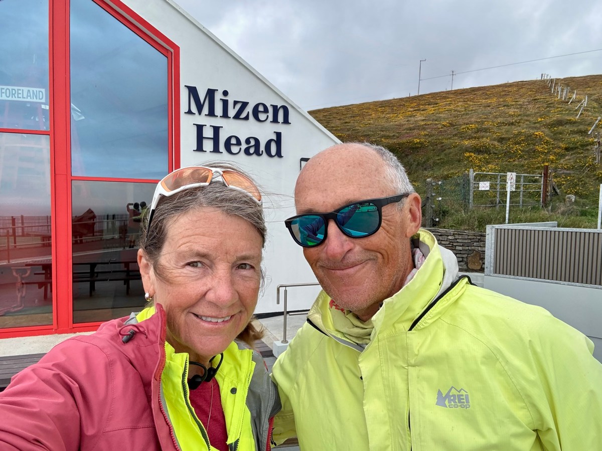
We weren’t even sure we should cycle to Mizen Head given the rainy and windy forecast (20-25 mph winds) but… we did because we surely won’t be back this way again.
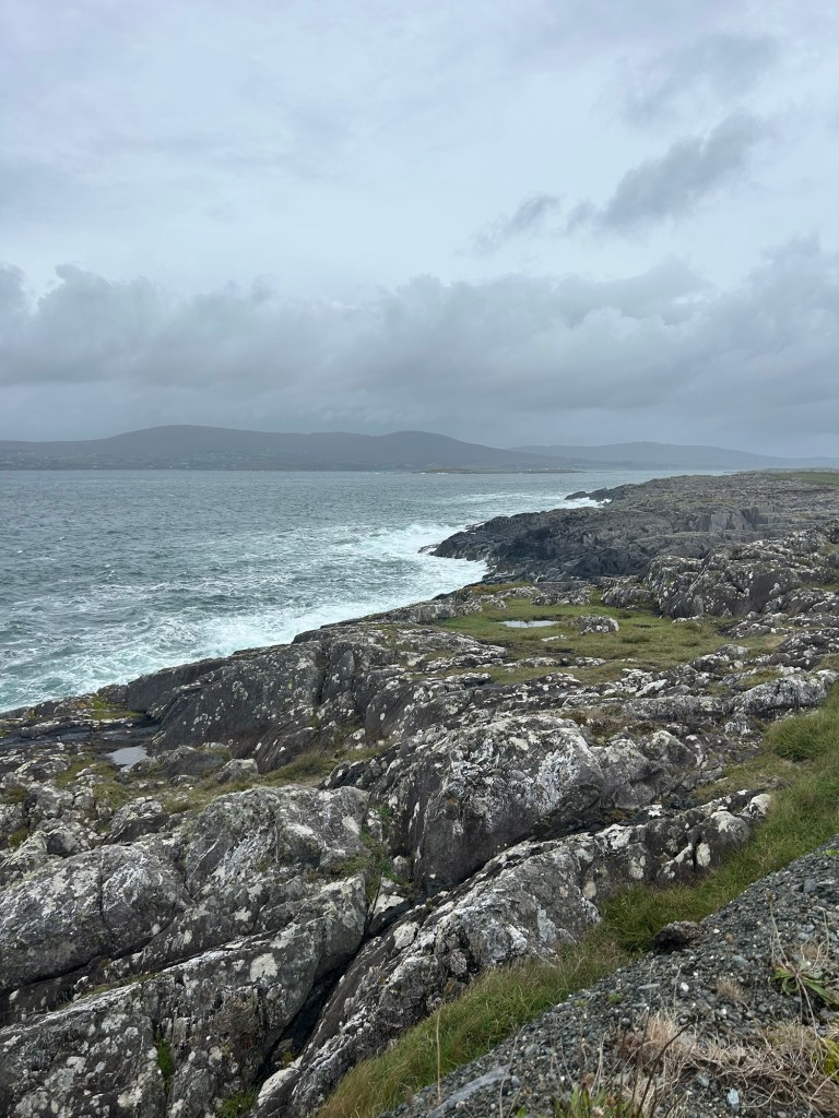
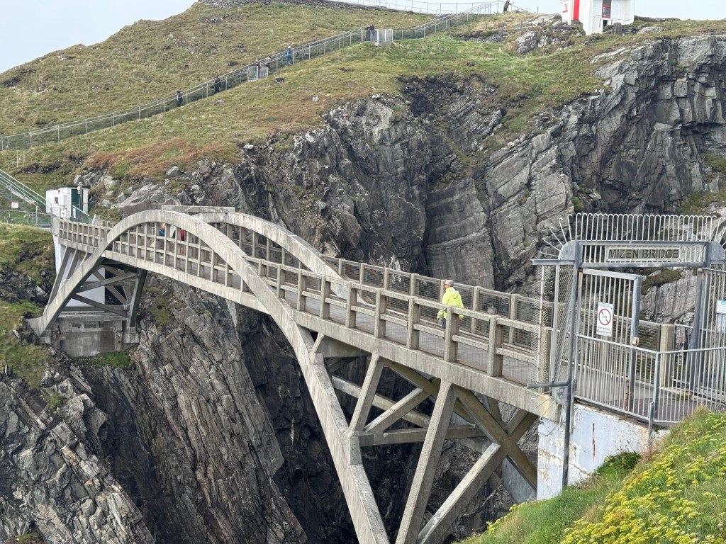
Mizen Head is considered the most southwestern point of mainland Ireland and is known for its ginormous cliffs, sea caves, rugged coastline and spectacular Atlantic views. Its Signal Station was built in 1909 to help guide ships safely past the dangerous coastline.
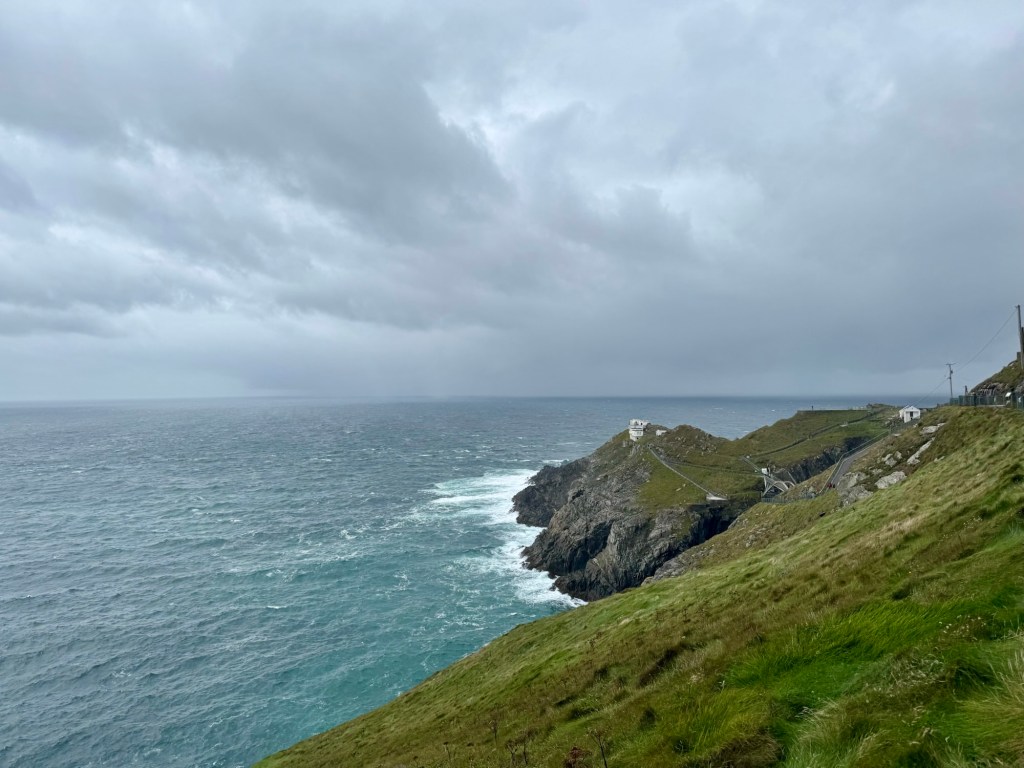
When we left we had sunshine and a headwind. Upon arriving to Mizen Head we snapped a few pics and just after a blustery squall came through soaking us to the bone as we walked out to the signal station.
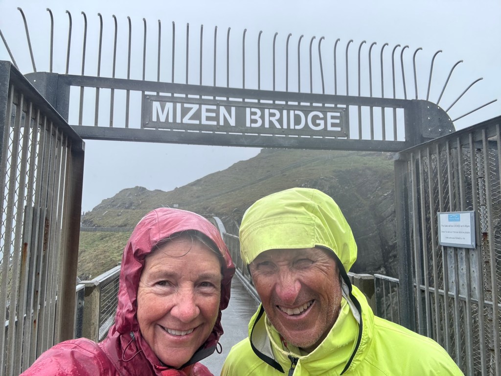
We got back to the Visitor Center, put on our rain gear but had hardly a drop of rain cycling all the way to Durrus. And we had a righteous tailwind.
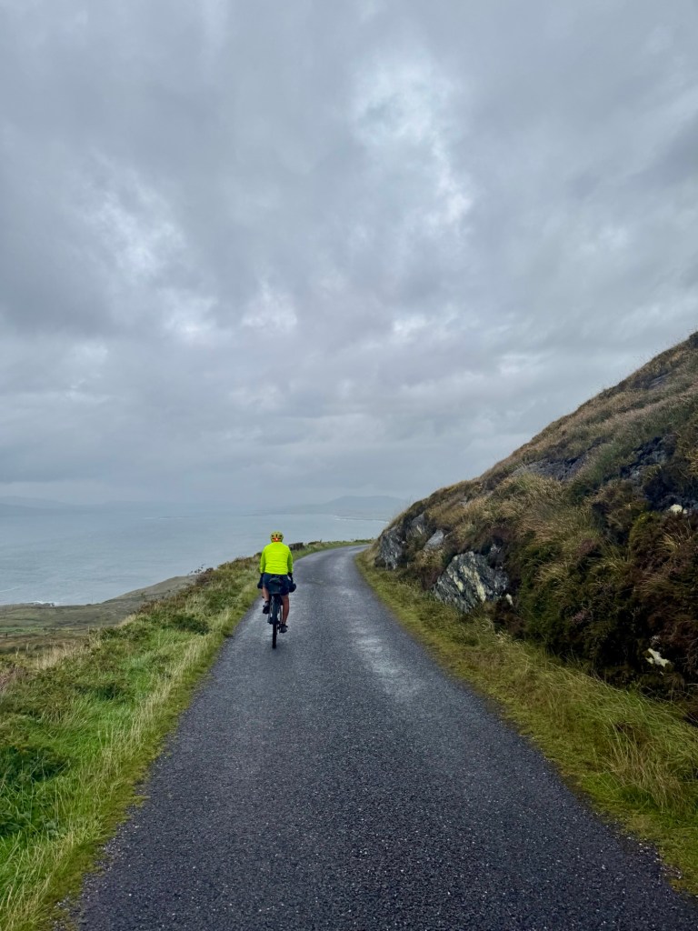
It was the most enjoyable riding so far on the remote, flowy road hugging the coastline. 🌊Unforgettable.
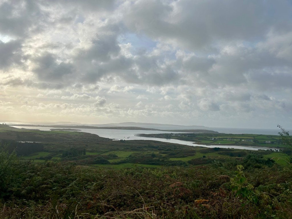
All ya gotta do to keep the rain away is put on rain gear or get an umbrella out. 😉
Today’s route on EV 1 took us from Schull through Toormore, Goleen, and Mizen Head to Durrus.
Click on the image below to view today’s video:


🎵Rainy days and Mondays never get you down 🎵😎
LikeLike