Route Tracker (track our southbound ride on a Google Map)
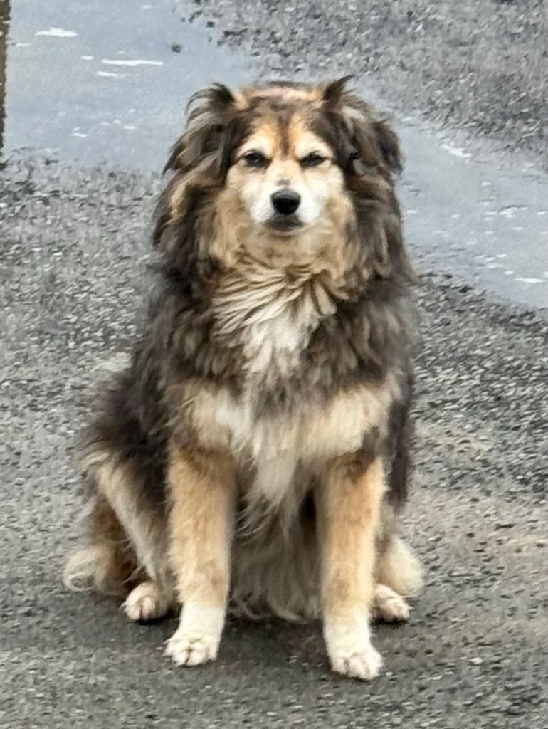
We continue to be amused by the laid back doggos that populate southern Chile. This is our Dog of the Day and he was waiting for us as we left our cabana this morning.
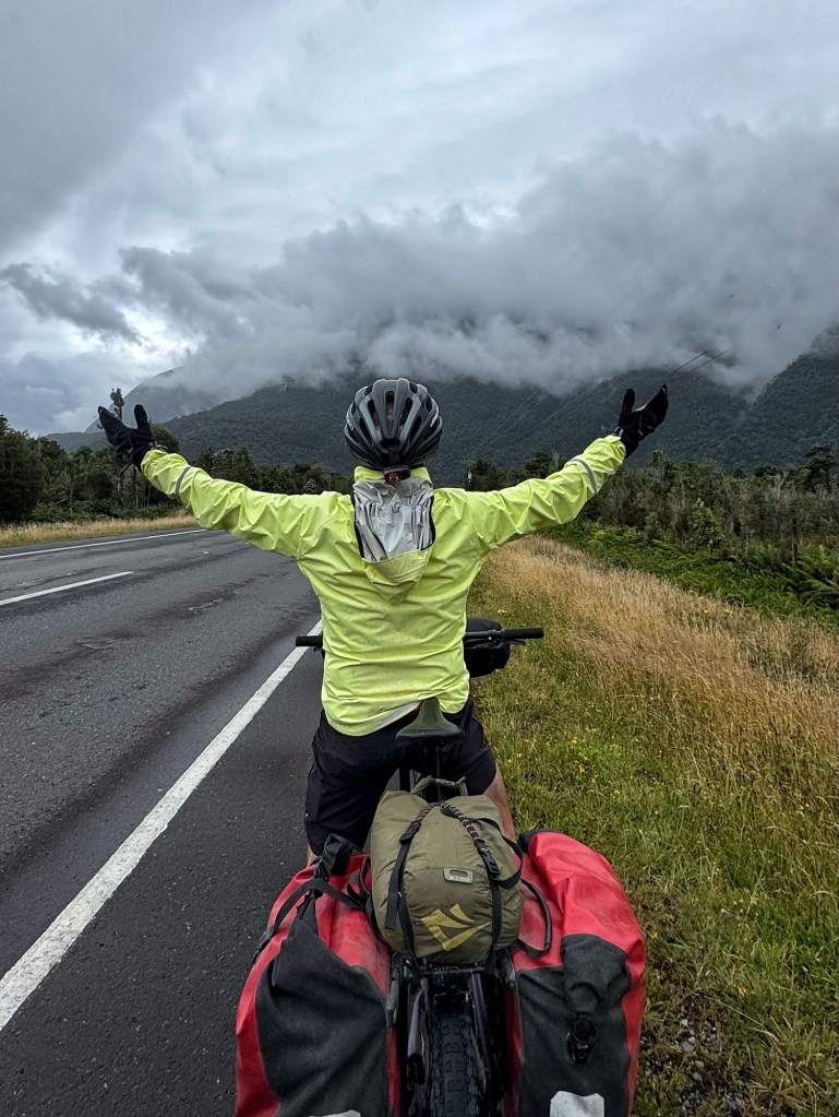
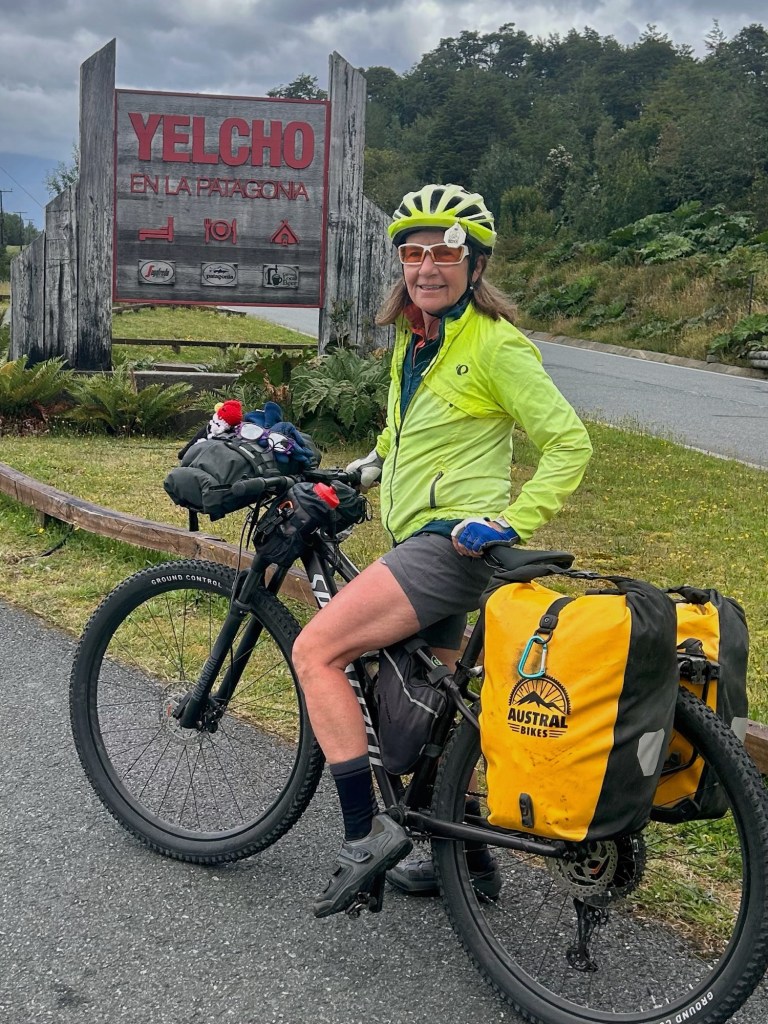
After a food resupply in Chaiten and once the rain ended we jumped back on the Carretera Austral about 11am. It was an easy day riding with a tailwind on pavement all day under cloudy skies.
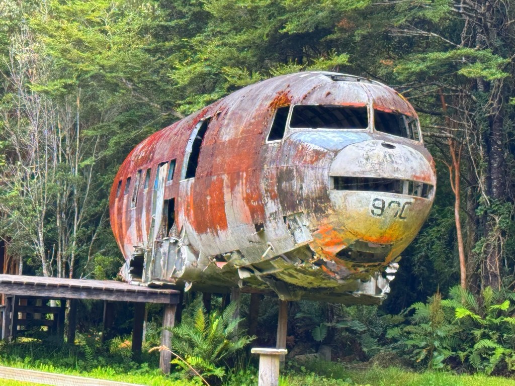
About 12 miles past Chaiten we saw the iconic remains of a WWII-era plane.
It was the fuselage of a Douglas DC-3 military transport aircraft that made an emergency landing (not a crash in combat) in the mid 1970’s. The Chilean owned aircraft experienced a mechanical failure on a flight between Palena and Puerto Montt and the pilot managed to land the plane safely nearby. The plane was damaged beyond repair and was subsequently abandoned.
This site has become something of a roadside attraction and, over the years, the fuselage was even repurposed by a local resident as a small home after being moved a short distance from the original landing location.
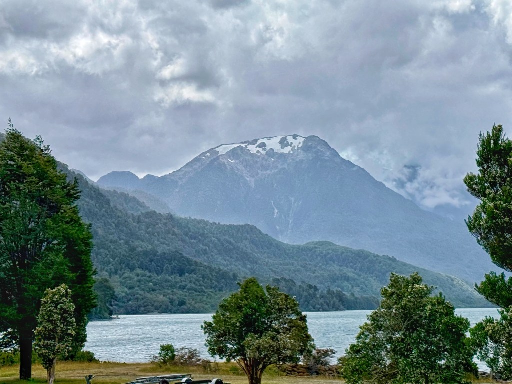
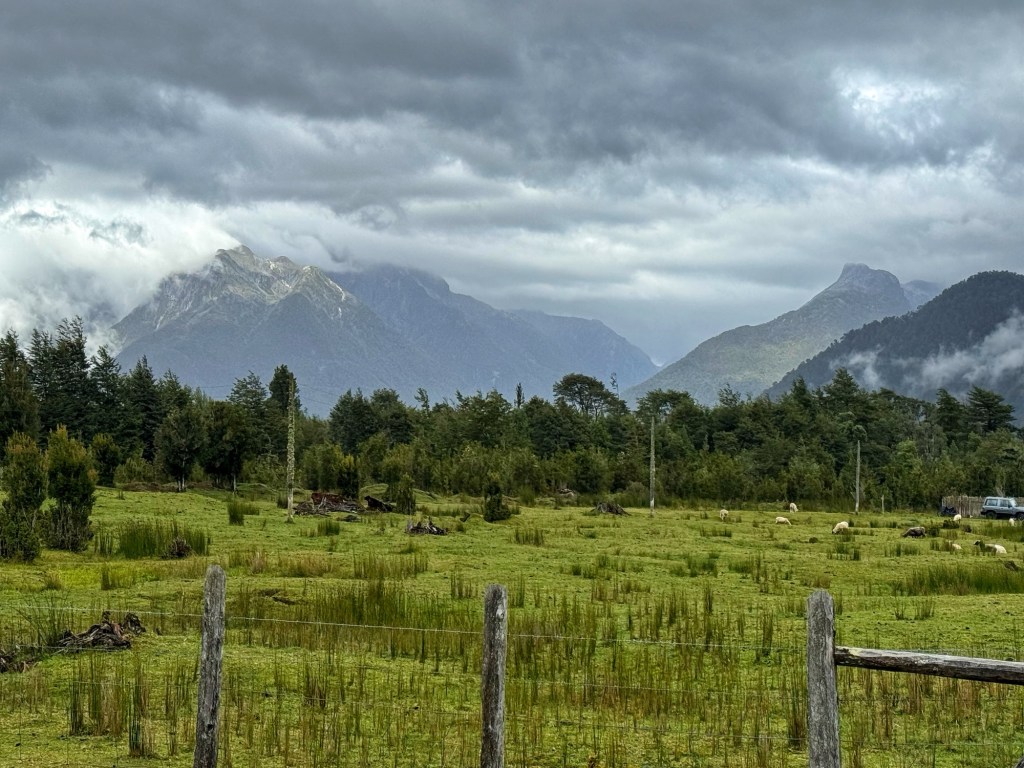
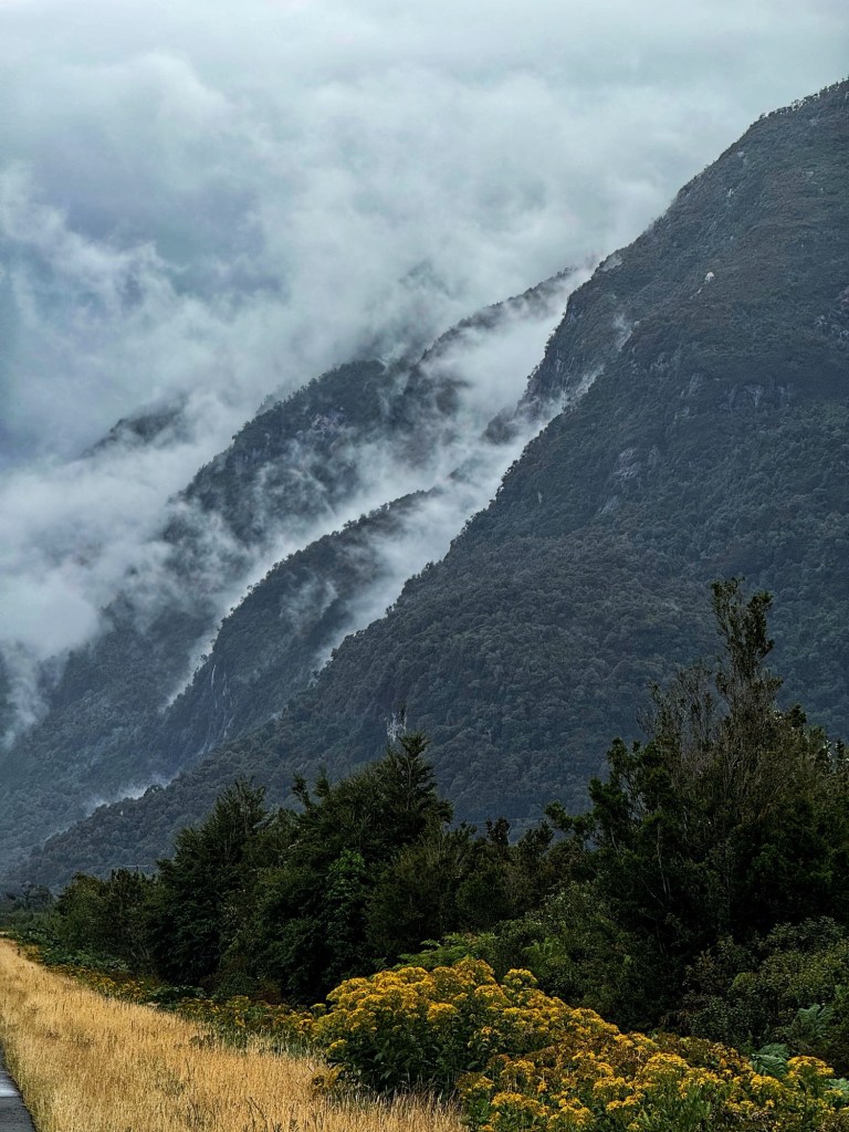
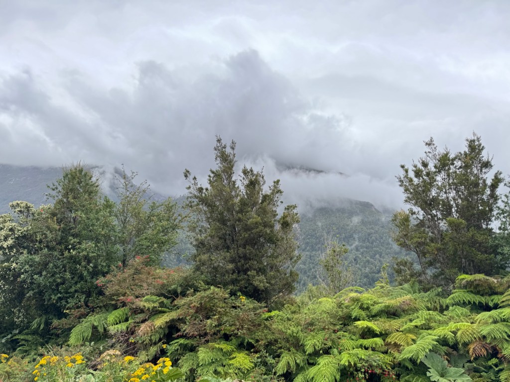
So far Patagonia’s landscapes seem severe. The weather is fickle and the skies, meditative. It’s also mysterious, yet inviting. Patagonia you have multiple personalities.😂
We’ve planned an even shorter day tomorrow with two inches of rain forecasted, dropping temps and a mountain pass on deck that includes a 10 mile climb. 😉
Route Tracker (track our southbound ride on a Google Map)
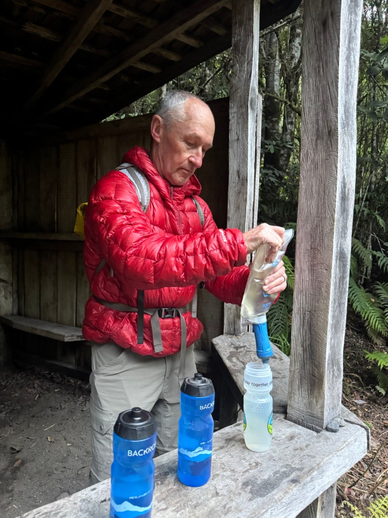
Is it really only Day 4? It seems like we have already experienced so much. Tom thought it a good idea to get a little hike in before our ride and I agreed. With low mileage days we have the time. But first, something to drink.
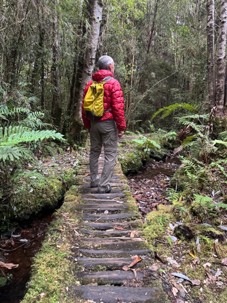
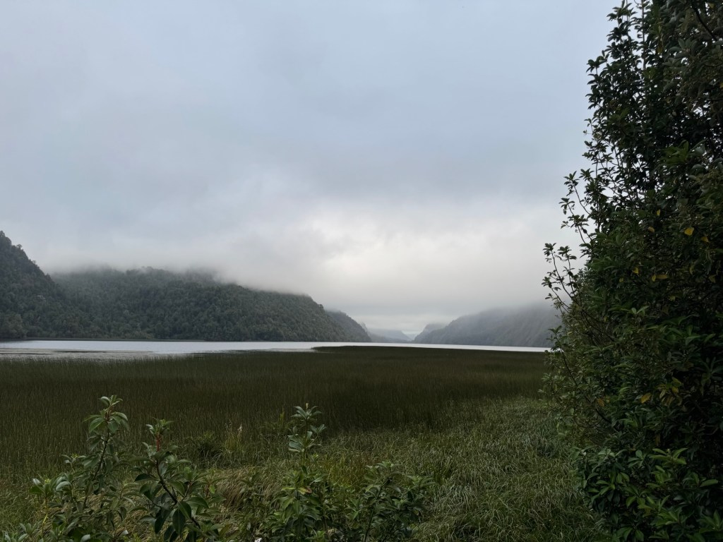
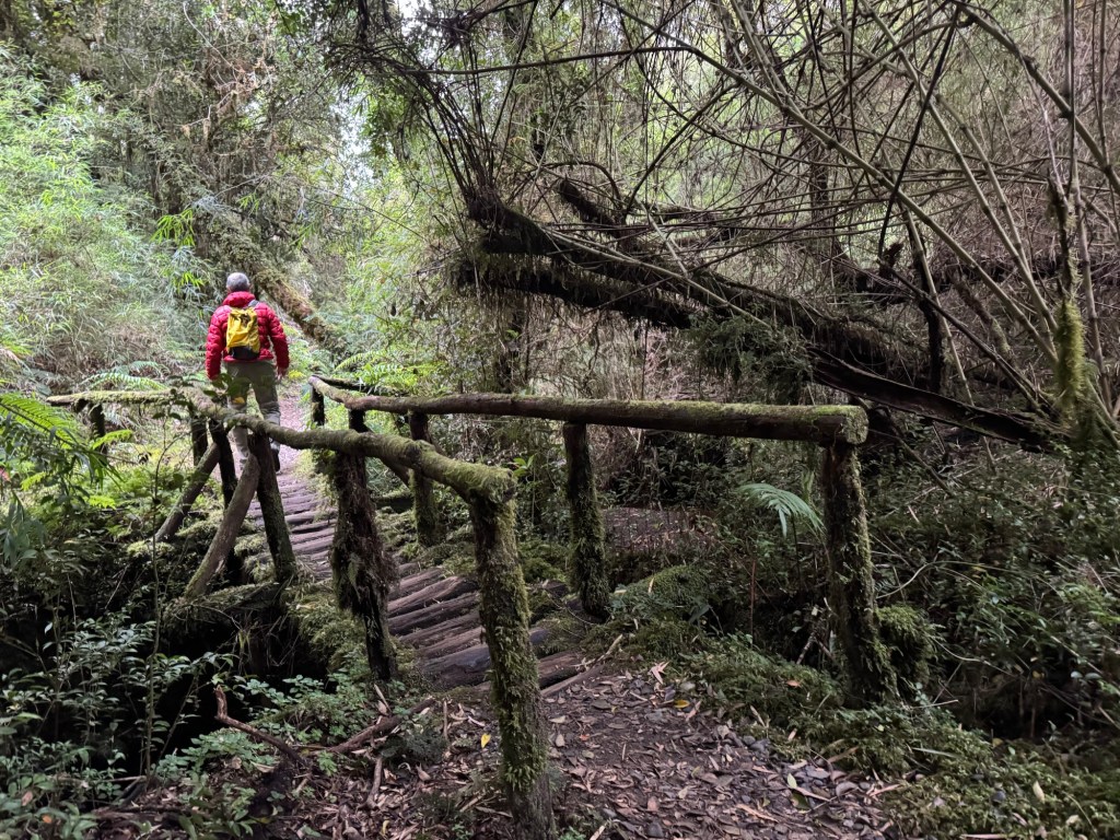
Though an overcast day, our lush surroundings and the low clouds felt like a comforting blanket on our hike to Lago Negro (Black Lake).
Even the overcast days are beautiful and have a mystical feel.
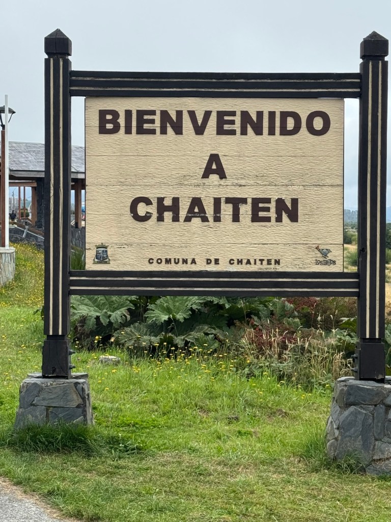
Our destination for the day was the small coastal town of Chaiten, where we planned an inside stay due to forecasted rain.
If there is a word to describe Chaiten, it is resilience. In May 2008, a volcano erupted that destroyed more than half the town with flooding and mud slides. More than 5,000 residents were evacuated overnight and the the Chilean government discouraged citizens from returning to rebuild.
Slowly residents DID return, and they rebuilt the small northern frontier town that is an essential gateway to northern Patagonia for both logistics and resupply.
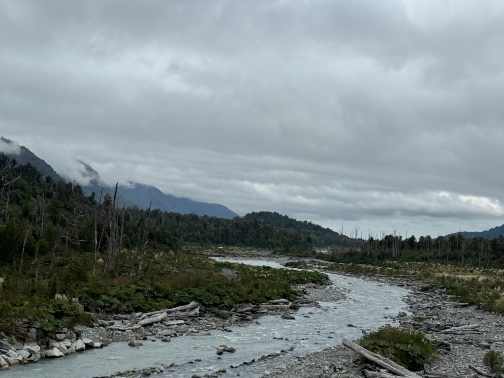
Great ride today – a little tarmac and a little gravel. There are always hills. 😂
Route Tracker (track our southbound ride on a Google Map)
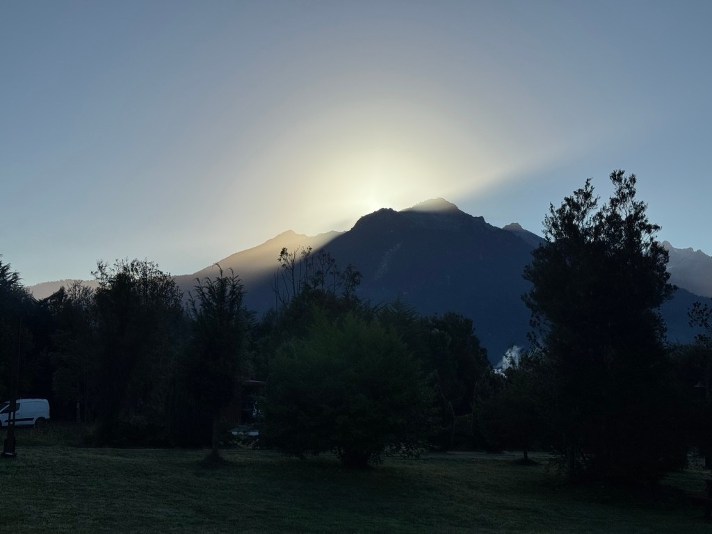
We decided to pack up early and quickly find coffee and our ferry boarding area. But first prayers in front of the sunrise peeping over the mountains.
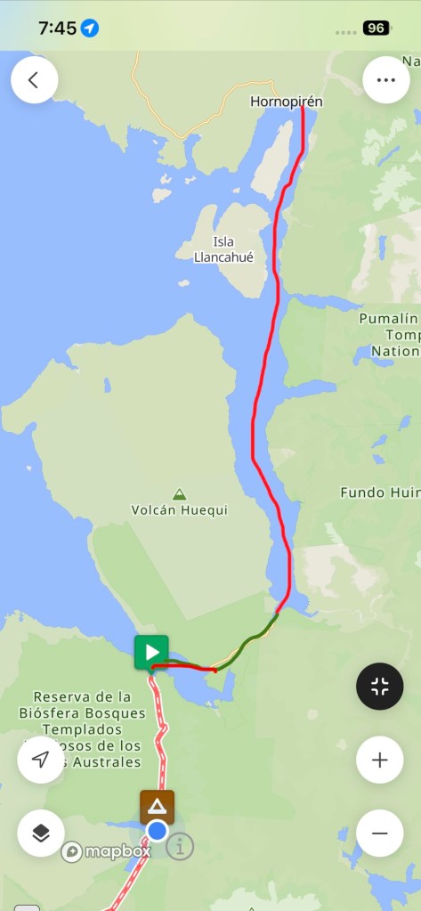
Today’s journey was unique in that we had a three hour ferry ride, then a six mile bike ride to the next ferry ride (a shorter one) and then a final bike ride to our campsite. This is what the route looked like.
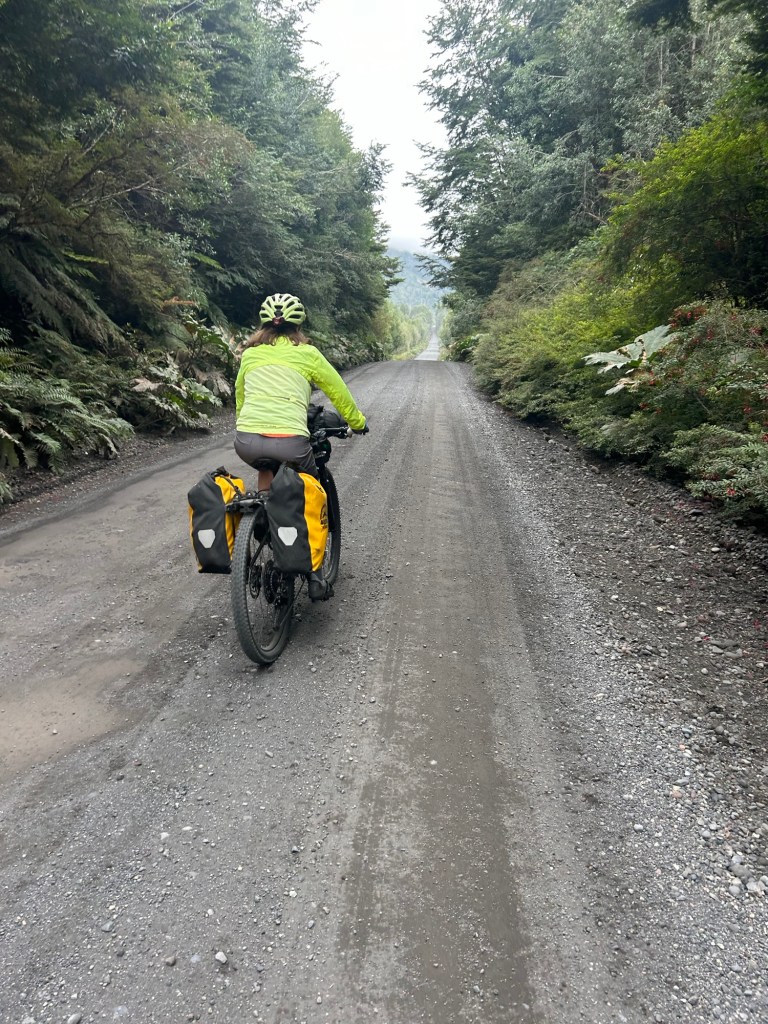
There’s a little anxiety that comes with “make it to the ferry” or else, but one hour proved plenty of time to make the boat. However that didn’t leave much time for snacks or pics in the lush rainforest we cycled through.
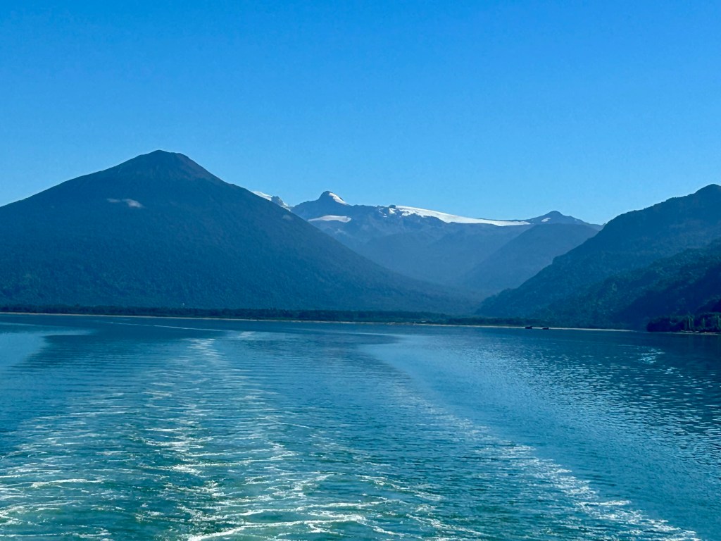
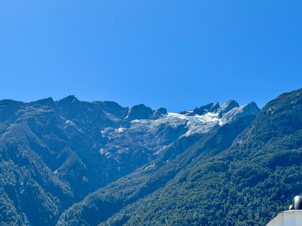
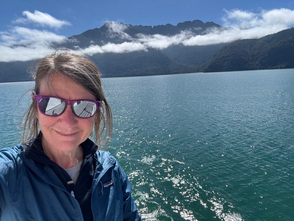
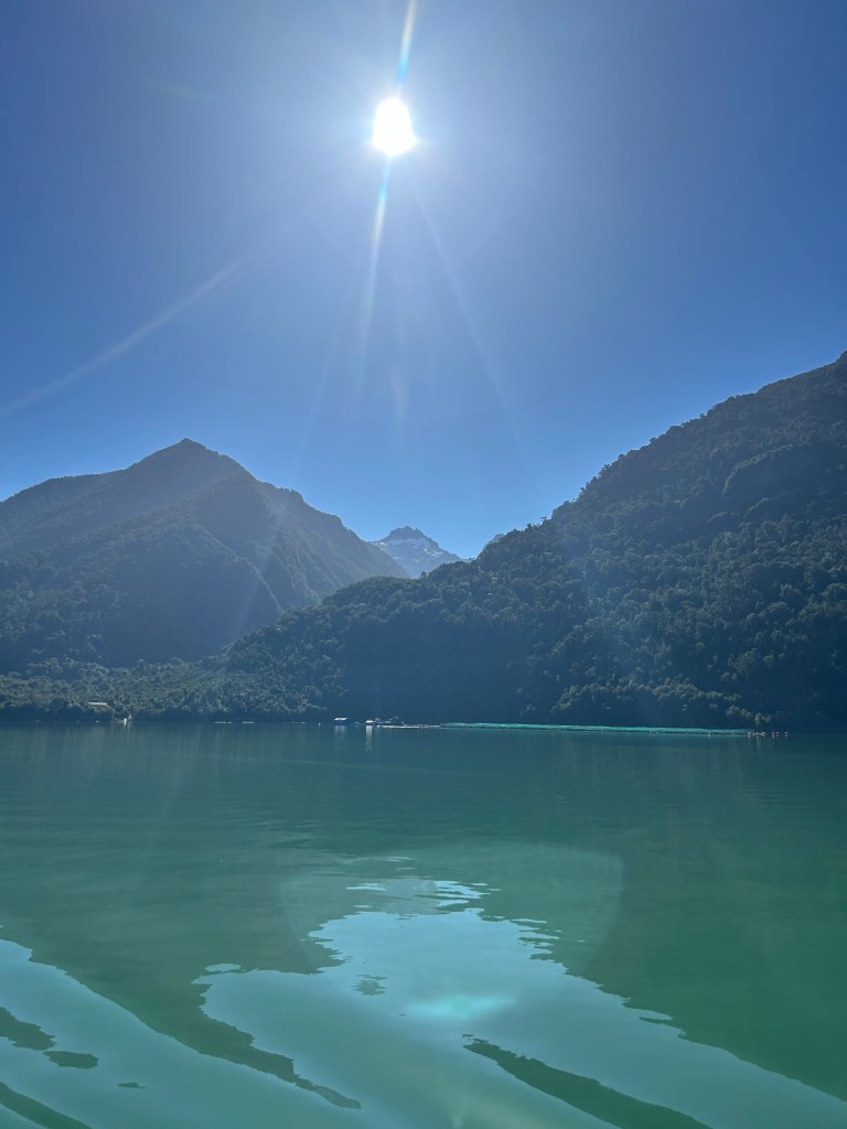
Under Smurf blue skies, the views from the ferries were stellar and it was a relaxing way to take a break from cycling.
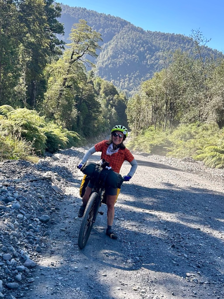
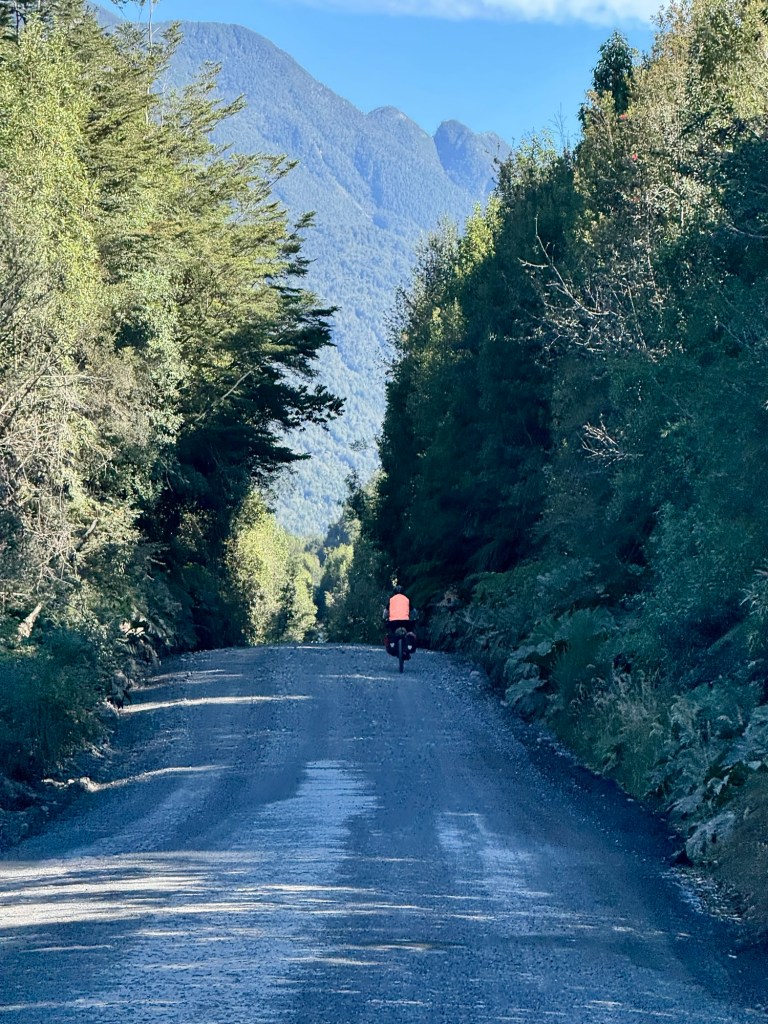
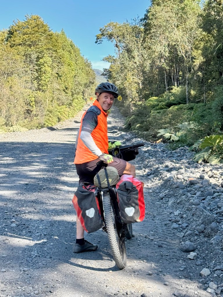
After the second ferry the pavement ended and the gravel — and hills — began. We opened up the front-fork suspension and suddenly the trail stopped fighting us. The bikes skimmed over the babyheads like water over pebbles. Soooo much easier on the last 11 miles and the day.
After some research, Tom started using a new campsite app called iOverlander to find both established sites and wild camping spots. It’s crowd-sourced and takes a little getting used to, but down here it can be a lifeline. Cell service is often nonexistent in southern Chile, yet if you download the regional map ahead of time the app still works and suddenly you have other travelers quietly guiding you to places you never would have found on your own.
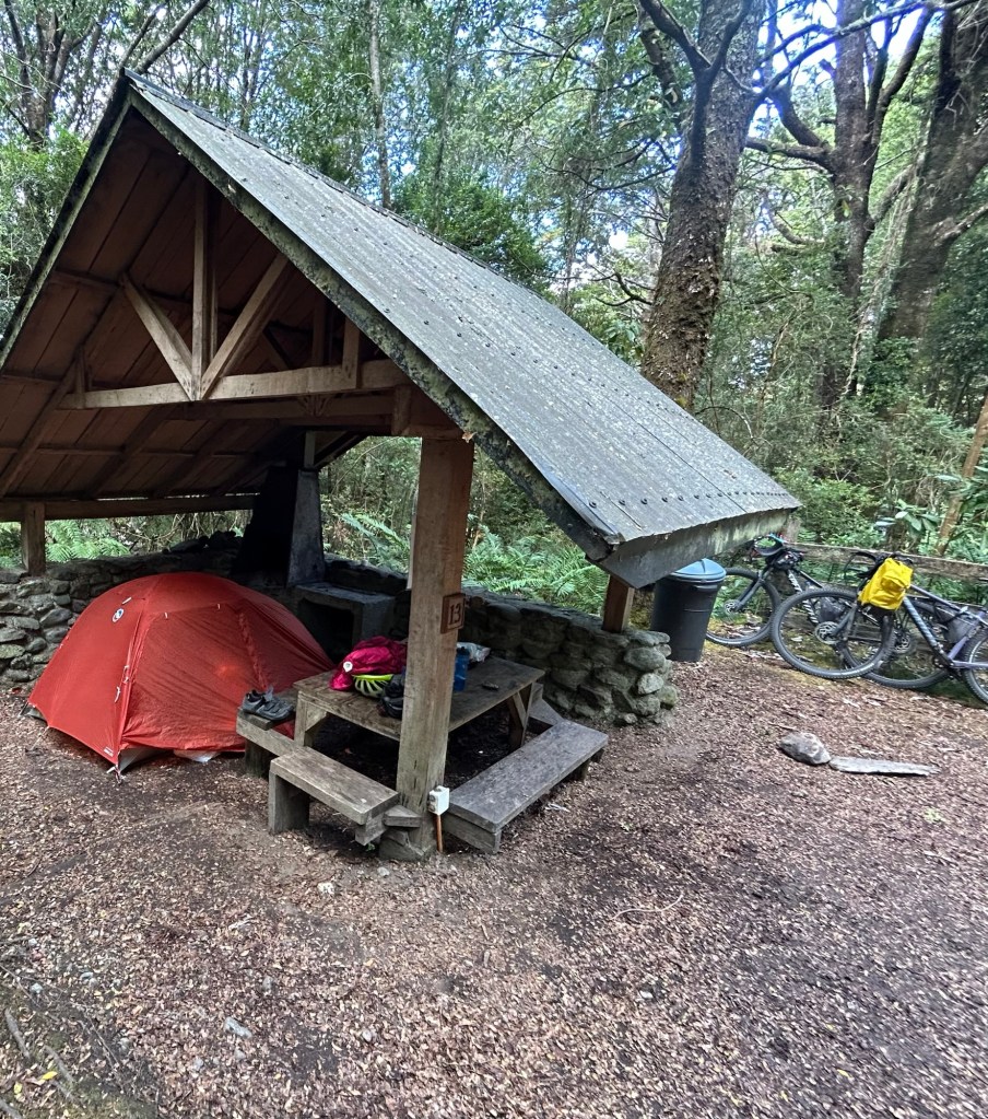
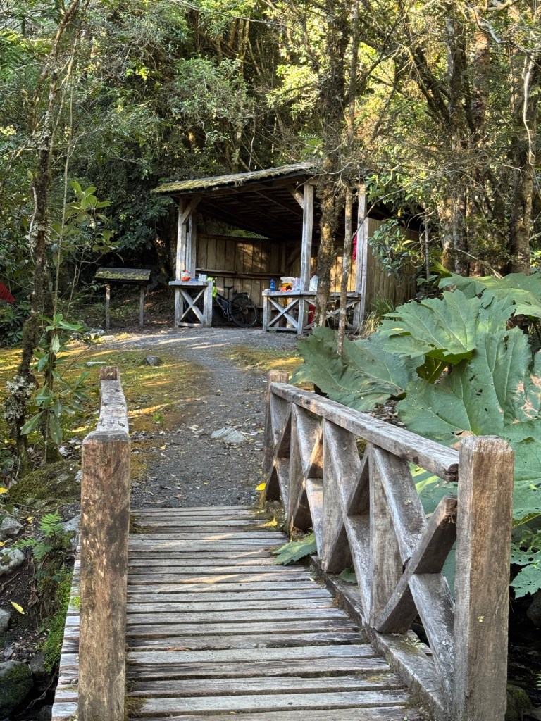
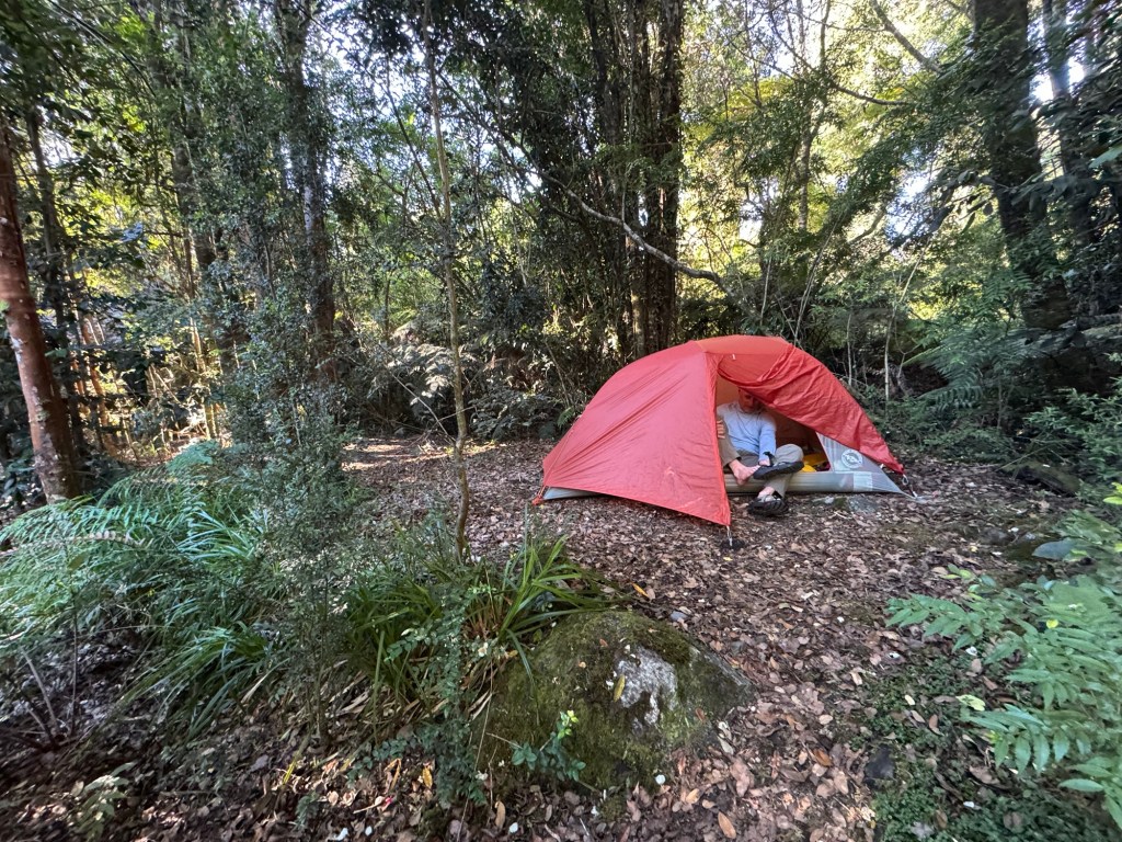
Tonight we are camping in a National Park and have just about the whole area to ourselves.
All in all it was a “ferry” nice day and we are learning more about our bikes, the route, and even a little more Spanish each day. 😉
Click on the image below to view more pics and today’s video:
Route Tracker (track our southbound ride on a Google Map)
Right out of the gate we had a three mile climb. Hello legs!
And the hills just kept on coming, one after another but they were all on pavement so that makes it easier. Gravel starts soon.
Our destination for today was the town of Hornopiren, a town from which the ferry launches and most consider the gateway to the fjords. We have tickets for tomorrow, purchased months ago as the ferry fills up quickly. Thank you Tom for your exceptional planning! 😊
Tom waited patiently while I “grannied” up the hills and we took breaks to skip rocks in the stream and snack.
After arriving to our campsite, we set up the tent, enjoyed hot showers and then a walk into Hornopiren for some town food and bevvies. And yes… there were more Sopaipillas.
We were so well taken care of in the restaurant and were reluctant to go back to the tent since it doesn’t get dark until after 9pm. We decided on a walk into town to locate the ferry ramp.
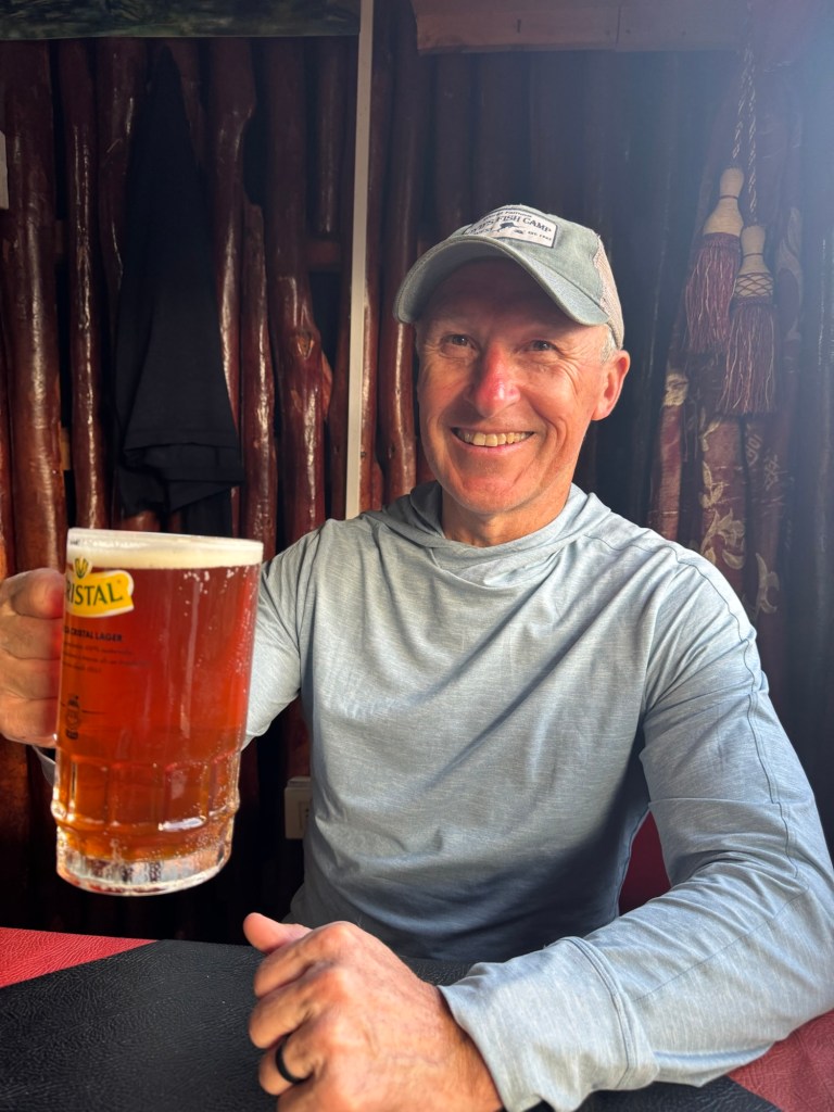
In celebration of our second day, we stopped in a small pub on the way back to the tent to plan the next couple days.
So grateful for another day. Thanks for the follow!
Click on the image below to view more pics and today’s video.
Route Tracker (track our southbound ride on a Google Map)
Let’s start with this thought: sopaipillas are breadfromheaven. We had our first taste of them today and oh my are they ever tasty!
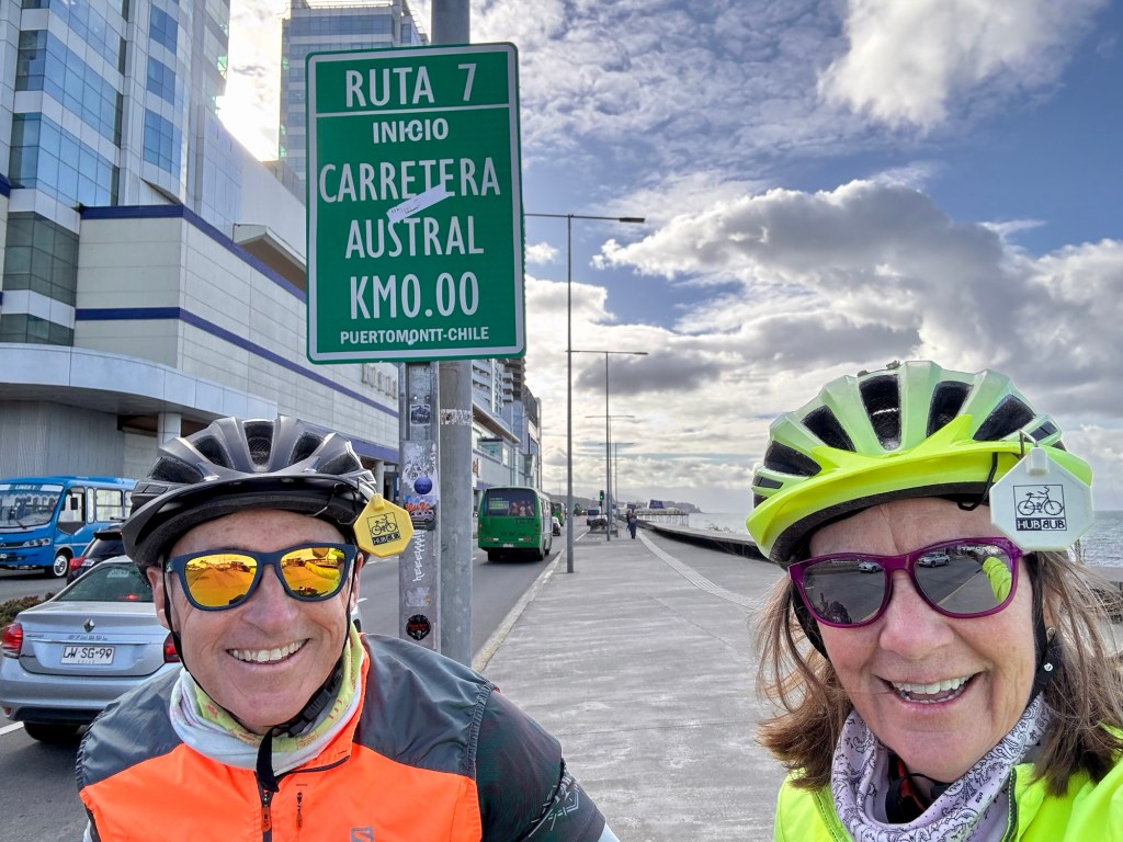
Our shuttle driver arrived early and Tom very carefully loaded the bikes and bags in the back of the van. Finally we were off to Peurto Montt to find the start line of the Carretera Austral! And find it we did.
We put the bike bags back on, Tom went to the money spitter 🏧 for more pesos and we were off.
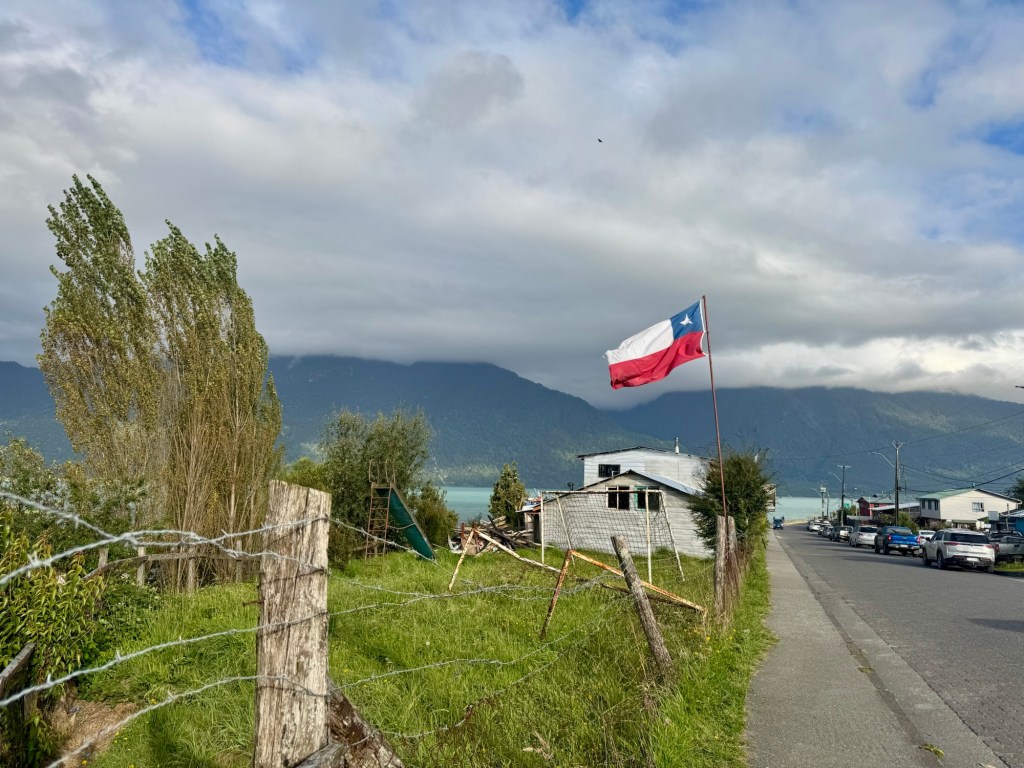
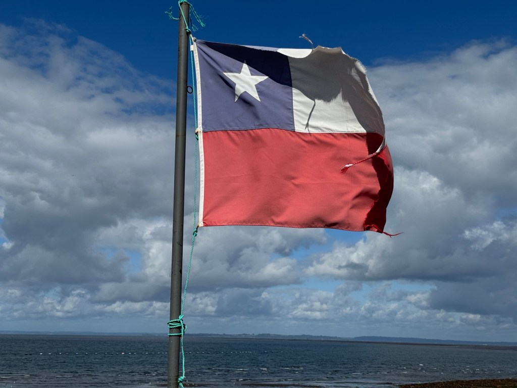
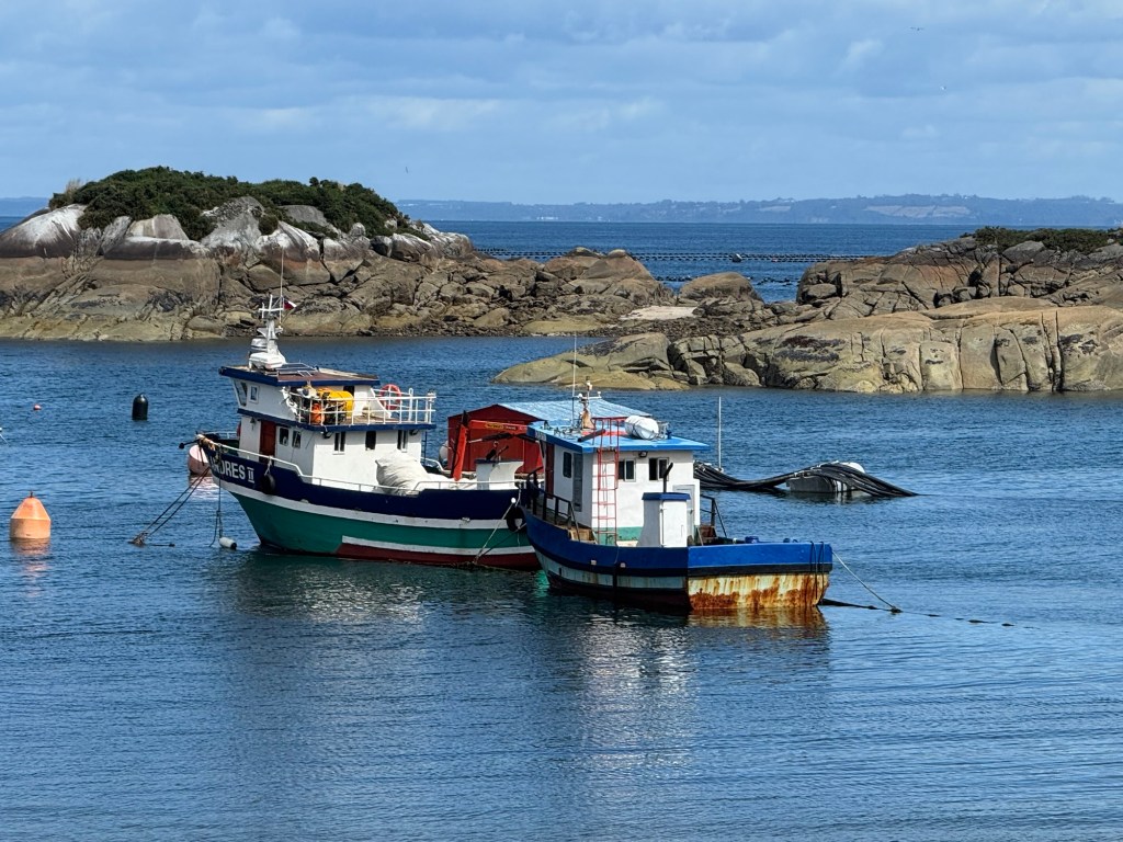
It was sunny day, a bit windy and we were surrounded by water, flying Chilean flags and the most free roaming doggos (all friendly) I’ve ever seen.😂 Not kidding – a LOT of dogs, although no chasers.
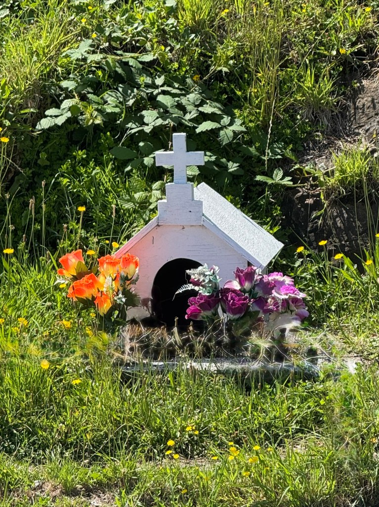
Beautiful animitas were lovingly placed along the route memorizing the loss of loved ones.
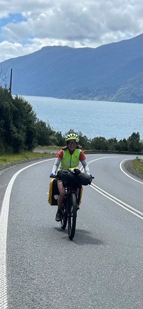
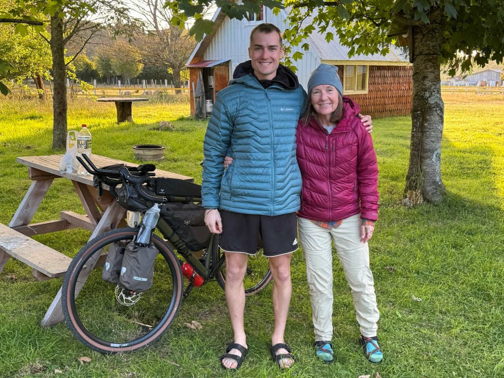
Staying true to taking our time so as to not “waste time” we rode at a slow pace and wanted to get our bodies acclimated to the new bikes. We sit completely different on a mountain bike. There’s a new saddle, different handlebars and coordinating our gear stow is a bit spicy. The only things we brought were our own SPD pedals. It takes a day or so to get squared away with new bikes and gear organization.
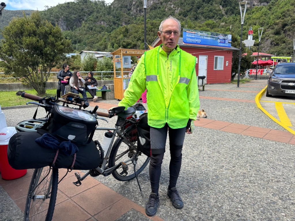
One of our favorite experiences when bike traveling is meeting people. At the ferry we met Gilles, a Frenchman who last year rode his bike from Vancouver to Panama. He is finishing the ride this year riding from Panama to the southern tip of Argentina. Amazing!
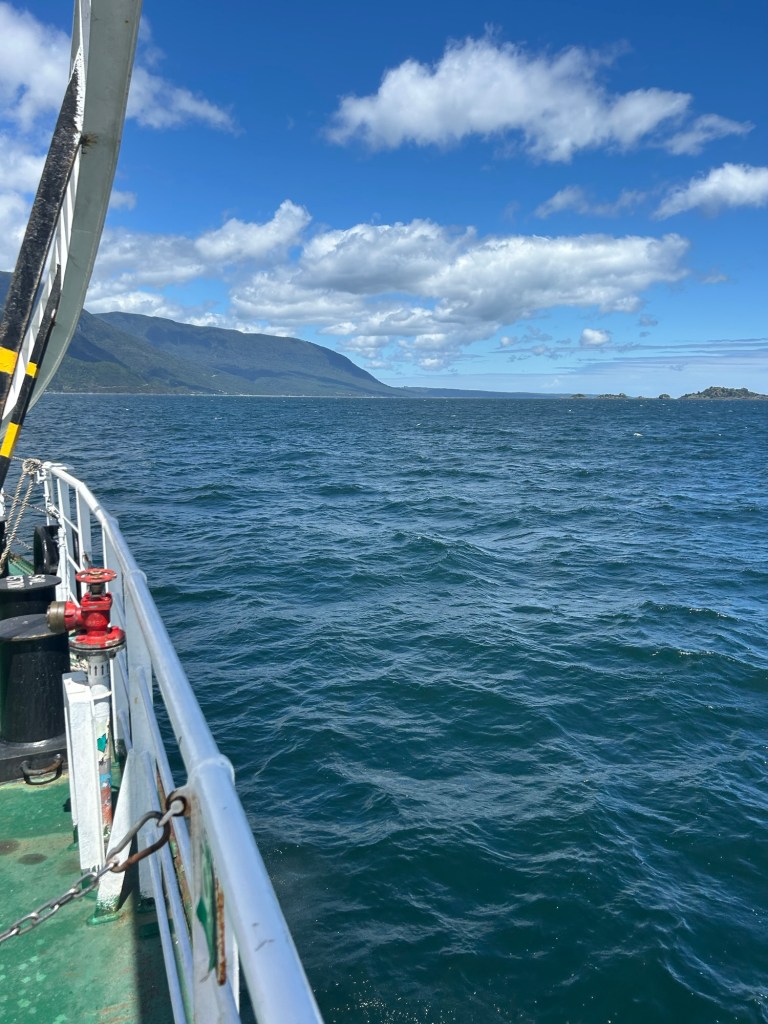
Just one ferry ride today through the Estero Reloncava Inslet.
There were so many places to stop and enjoy the remarkable views and I’m pretty sure we stopped at every one.
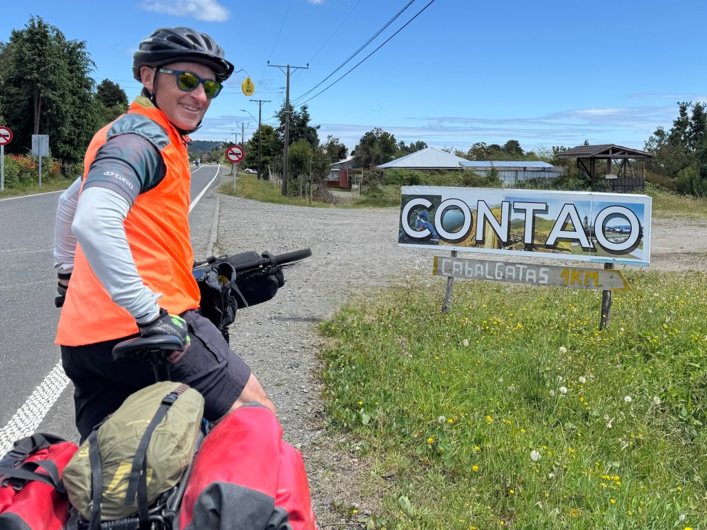
We ended our ride in Contao today and grabbed dinner in town (fresh salmon and hake) before finding a campground and setting up the tent.
This was Yannik’s (from Bielefeld, Germany) first day too. He’s planning on spending the next year in South America riding his bike, learning Spanish and doing all the things people on tour do… smile!
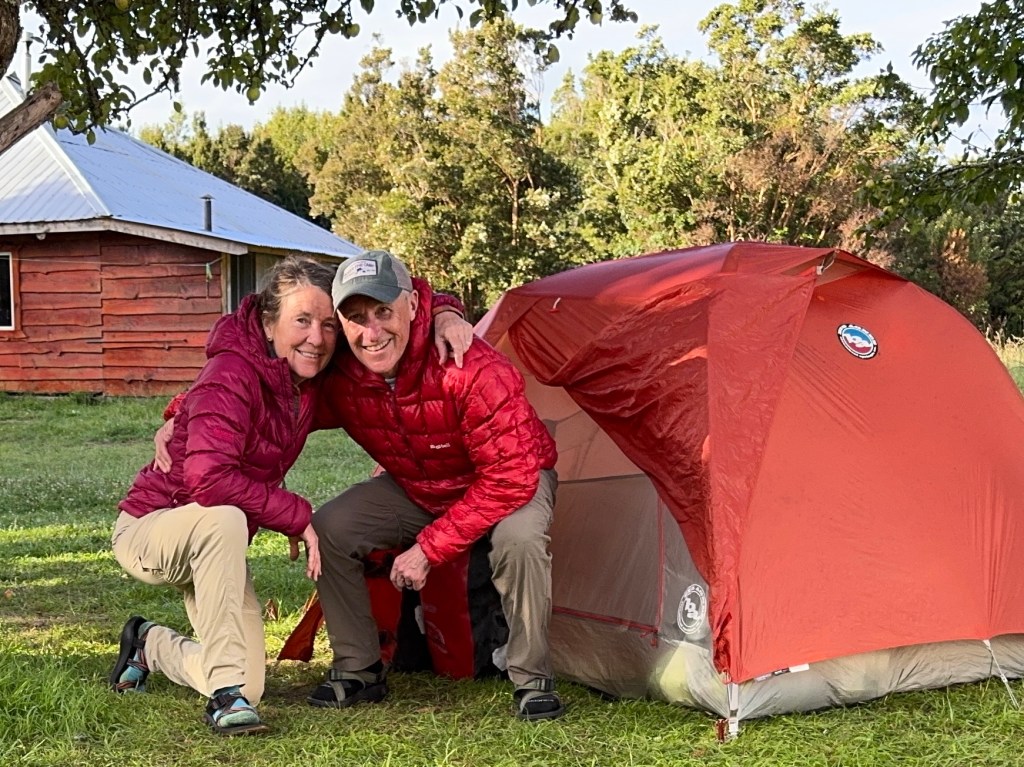
Digs for the night!
Click on the image below to view today’s video recap of our day.
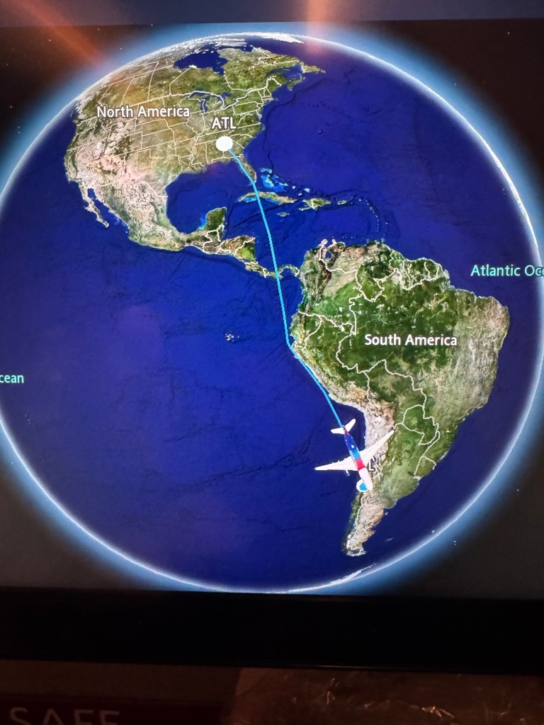
Ya don’t get to visit a magical place like Chile without a bit of planning. Ours started in May 2025 with a What’s App call and ended with three flights totaling more than twelve hours (not including a nine hour layover in the Santiago airport). 🫣
We’re no longer in blustery Indiana and have arrived to summer in the southern hemisphere where we begin riding the Carretera Austral route tomorrow.
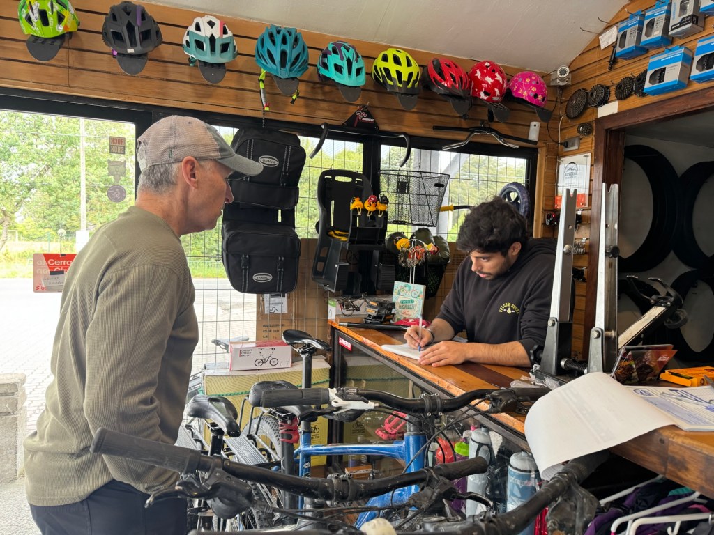
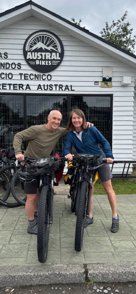
One of the smartest things we did in preparation for the bike tour is rent bikes and coordinate with Austral Bikes. We’ve rented their mountain bikes and bike bags and although they offer everything you’d need in the way of sleeping bags, tents, stoves, etc. We opted to bring our own gear. They will pick up their bikes and bring down our duffles with clothing we didn’t take on the bike when we finish in Villa O’Higgins in early March.
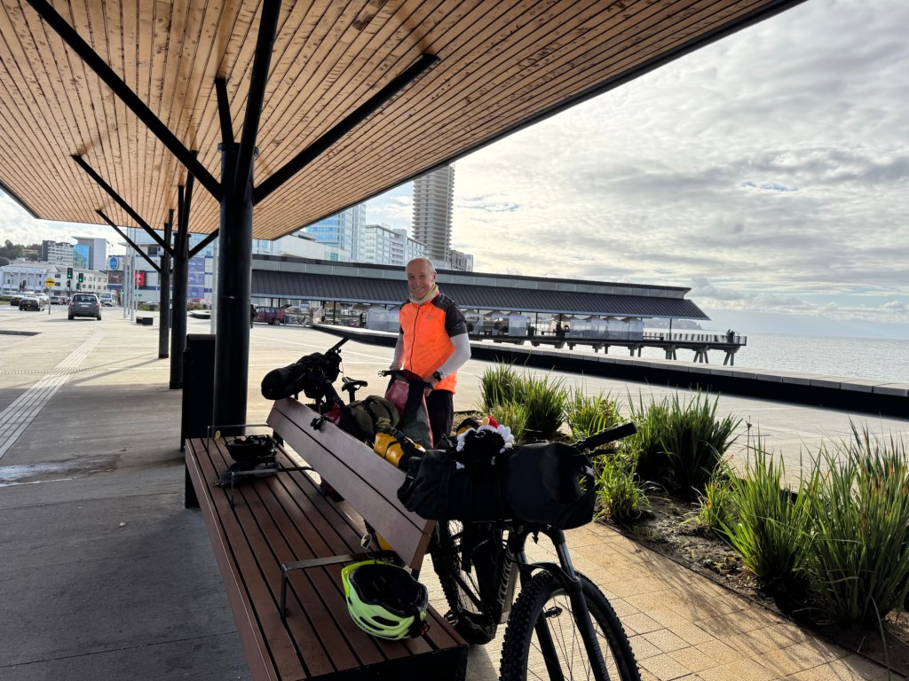
Whereas yesterday we travelled, today we dialed in the bikes and bags.
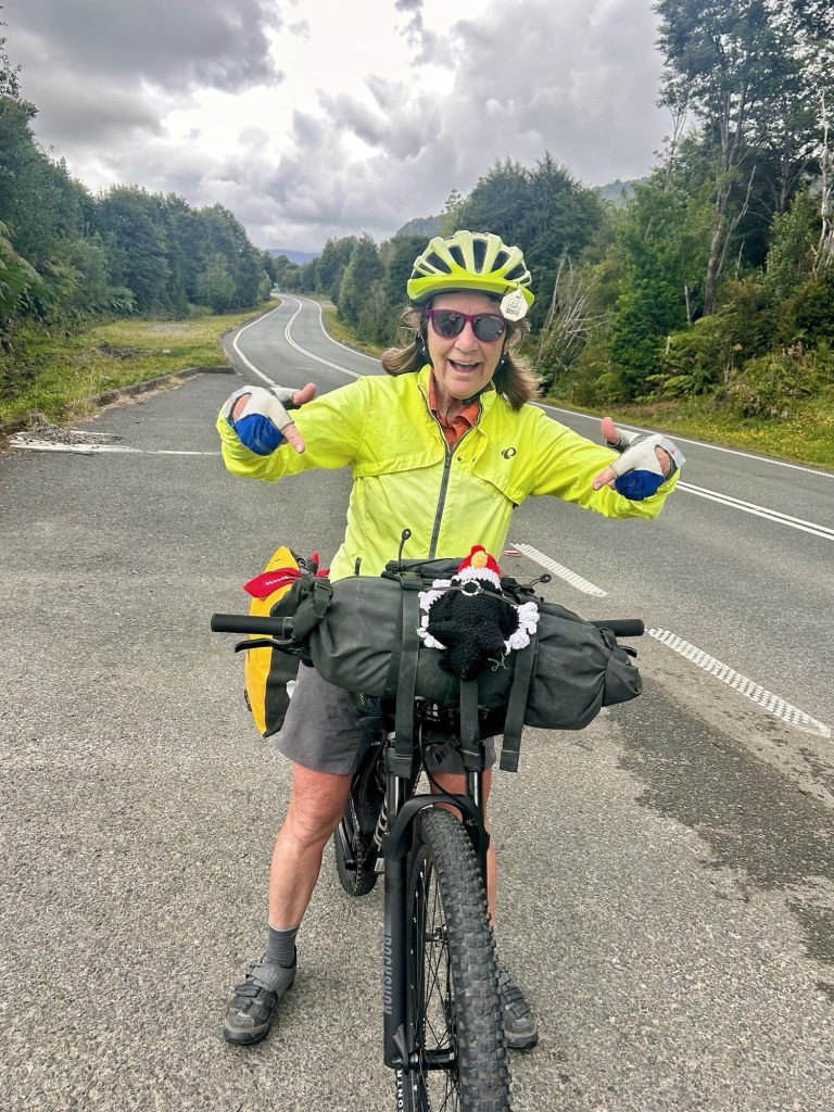
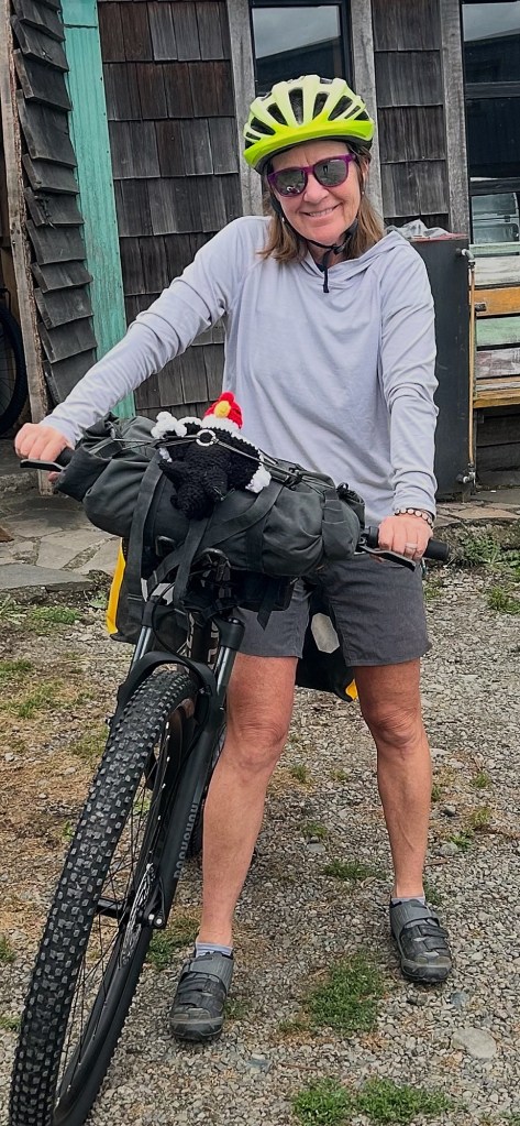
You may notice something new in the cockpit of my bike. Meet Conrad the crocheted condor who’ll be riding along with us on the CA. I’m hoping Chile’s national bird will invite friendly convos so we can practice our Spanish.
Screenshot
Speaking of español, is there such a thing as pidgin Spanish? ‘Cause if there is, that’s what we are speaking. Determined to learn as much as we can about Chilean culture, her flora, fauna and her people, we are giving Spanish our best effort and actually so far, either people we meet speak some English or are happy to work with us. And well there is always Google Translate.
Tom’s efforts in planning the logistics of the ride and subsequent adventures in Peru and Ecuador have been over-the-top amazing. If you know Tom, then you know there is a multi-worksheet spreadsheet involved that can be shared and accessed offline.
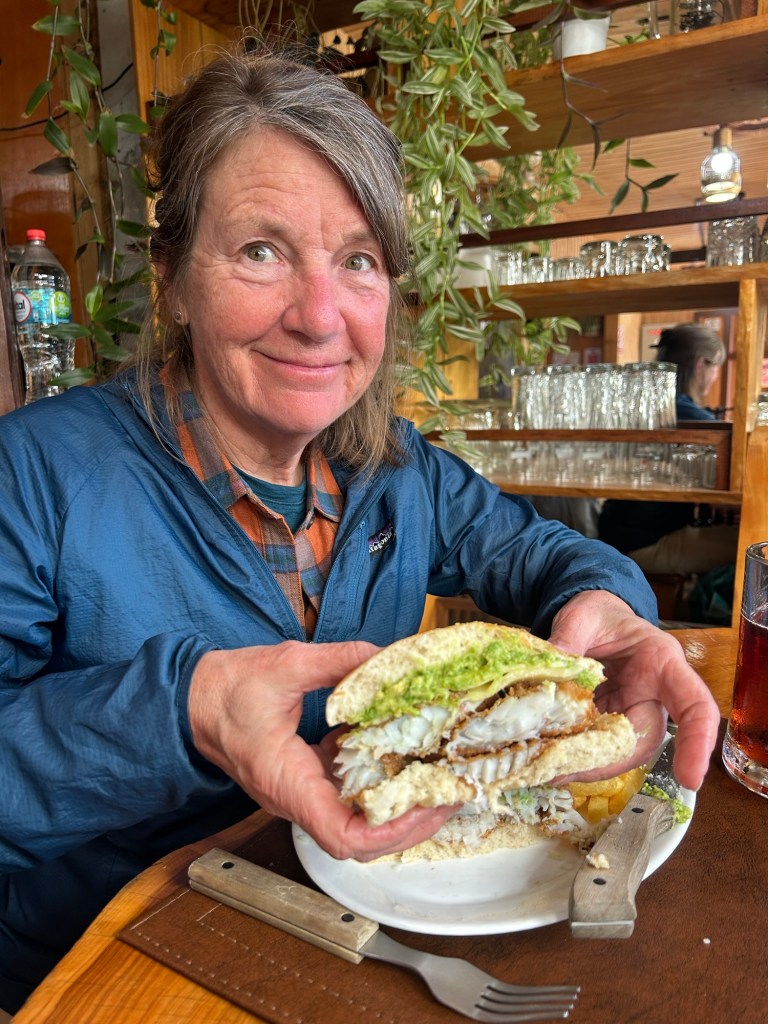
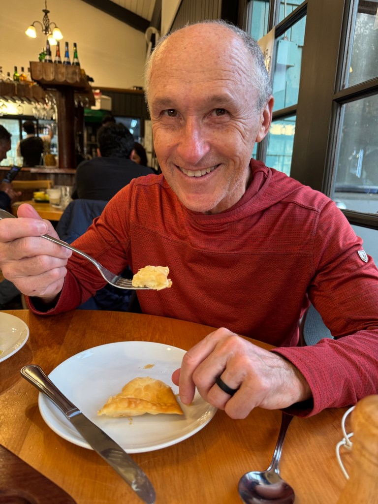
To reward his exemplary efforts he enjoyed his first empanada and a tasty meal of Chilean salmon. BTW did you know Chile is the world’s second biggest producer of salmon (after Norway). I sure didn’t.
So far our biggest mistake has been buying three litters of sparkling water instead of regular water so we might be burping a lot tomorrow but at least we’re likely to avoid water contaminants with us being bacteria-intolerant Americans. 😂
Per usual, we plan on blogging daily but anticipate many areas without cell or wi-fi, so there will be some catchup over time.
Thanks for joining us on our journey. We are so grateful to be able to do this and appreciate your interest and prayers.
This one was a tough ride to wrap up. Not because we didn’t have anything to say about it, but because we had so much to say. New Zealand stole our hearts and we weren’t quite ready to “wrap it up” or let it go.
We chose this ride in August 2024 on a whim, so to speak, knowing little about it and being undertrained due to the time of year in Indiana we would start (winter for us, summer for NZ). However, we rolled right onto the route with joy, vigor, confidence and curiosity. And she didn’t disappoint.
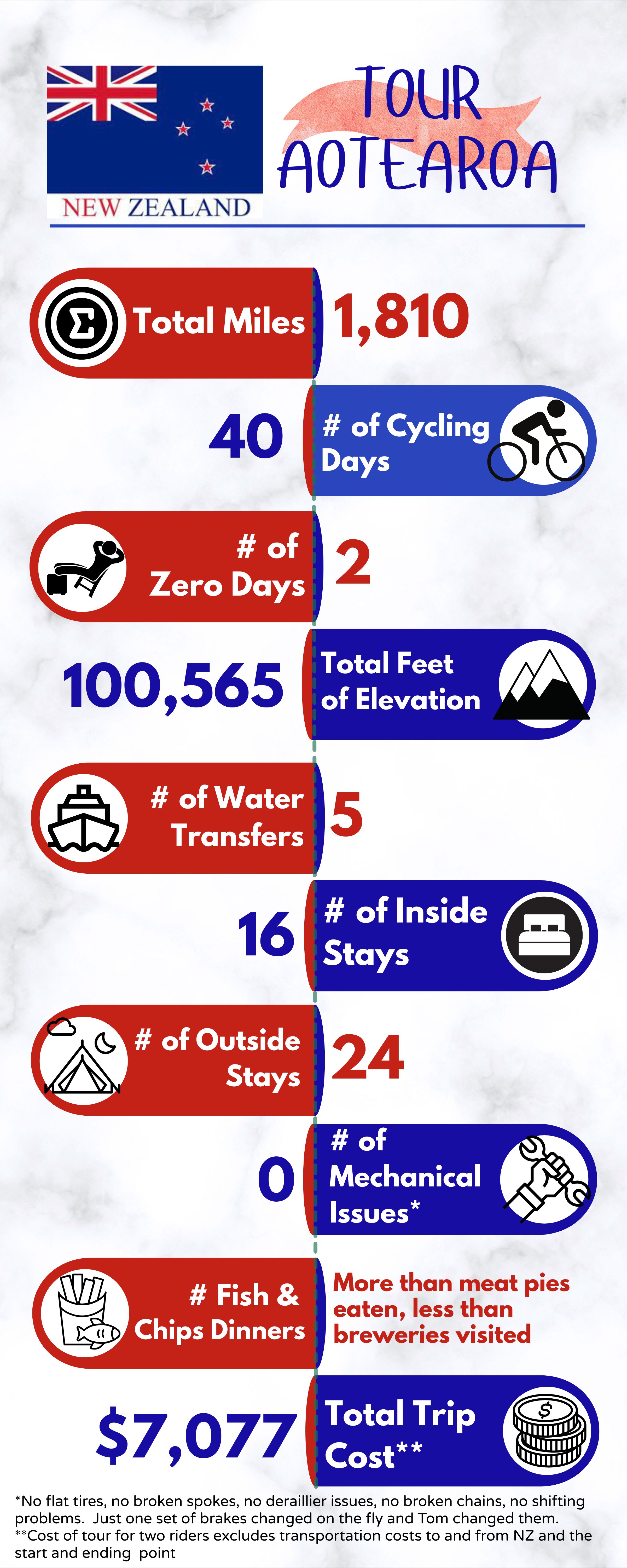
As always, we maintain a data sheet that includes daily mileage and elevation, where we stopped for the night and links to our daily posts that include a video. However, a snapshot of the ride can be seen below. The aforementioned spreadsheet may be helpful to future TA riders, but just remember, we ride, not race and we are both 65+ years old.🤣
What will we miss most about our ride and New Zealand? As with any other extended bike tour we’ve finished, we’ll miss that feeling of accomplishment at the end of a solid day of riding. We will miss the spectacular views in New Zealand and the changing landscapes and seasons as we rode from the top of the North Island to the bottom of the South Island.
The simplicity of living on a bicycle suits both of us well and, of course we’re not going to complain about the cost of living in New Zealand and the strength of the American Dollar. The well equipped Holiday Parks (campgrounds) and the remarkable cleanliness of the country, whether we visited a superette, a petro station, a restaurant, Air B &B or a long dropper – it’s 99% clean. Kiwis take care of their property and their environment.💚
Most of all, however, as always, it’s the people, both the locals and the riders we met along the way , that were the highlight of our ride. The TA was unique from other extended tours in that, from the first couple days and throughout the ride we leapfrogged with our “tramily” or our trail family. Sharing the experience with others, looking out for one another and learning more about their life stories (as well as getting reccs for future cycling) is at the top of both our lists of what we will miss most.
What are we eager to leave behind? Tom says packing up and carrying a wet tent (due to atmospheric condensation) most everyday. I say the narrow roads with no shoulders. We both emphatically agree we will NOT miss the sandflies.
For cyclists considering the TA , there’s a bit of logistics to plan since it’s a linear trail and for many, at the opposite end of the world, literally. There are also at least three, and as many as five water transports for which to plan.
I’m grateful for Tom for both his tour planning AND his approach to bike maintenance. Whereas I’m a “if it’s not broken, don’t fix or replace it”, he’s proactive with preventative maintenance and that’s the main reason we had zero mechanical issues with our Salsa Cutthroats. Trust me, his approach is the one to take.
Click on the image below to view a ride recap video.
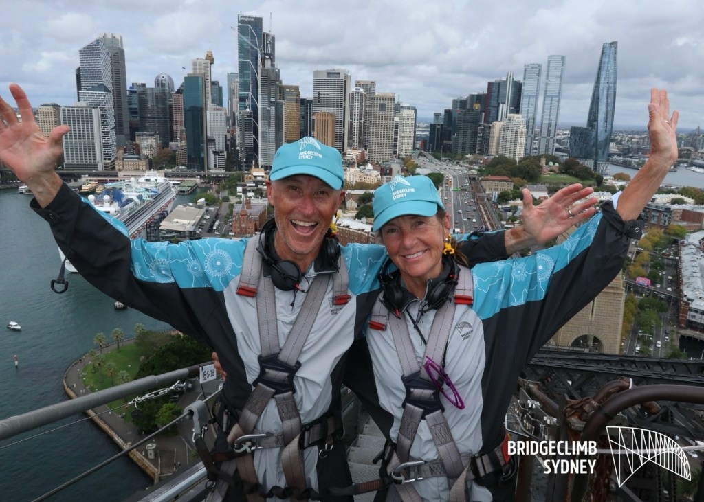
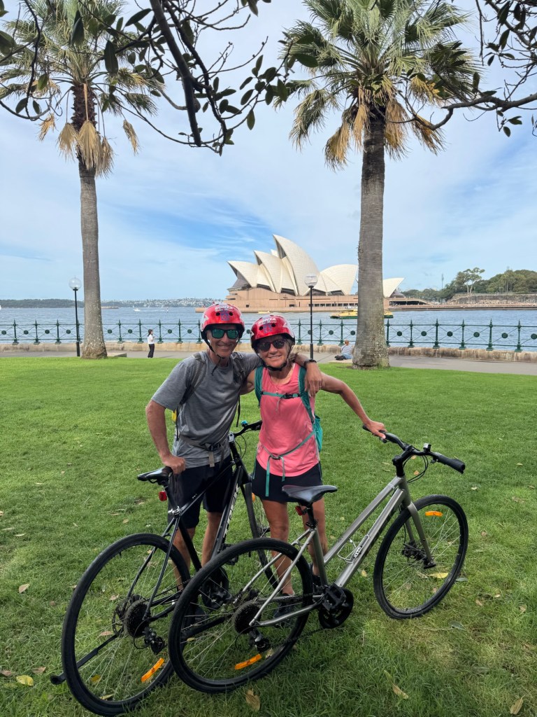
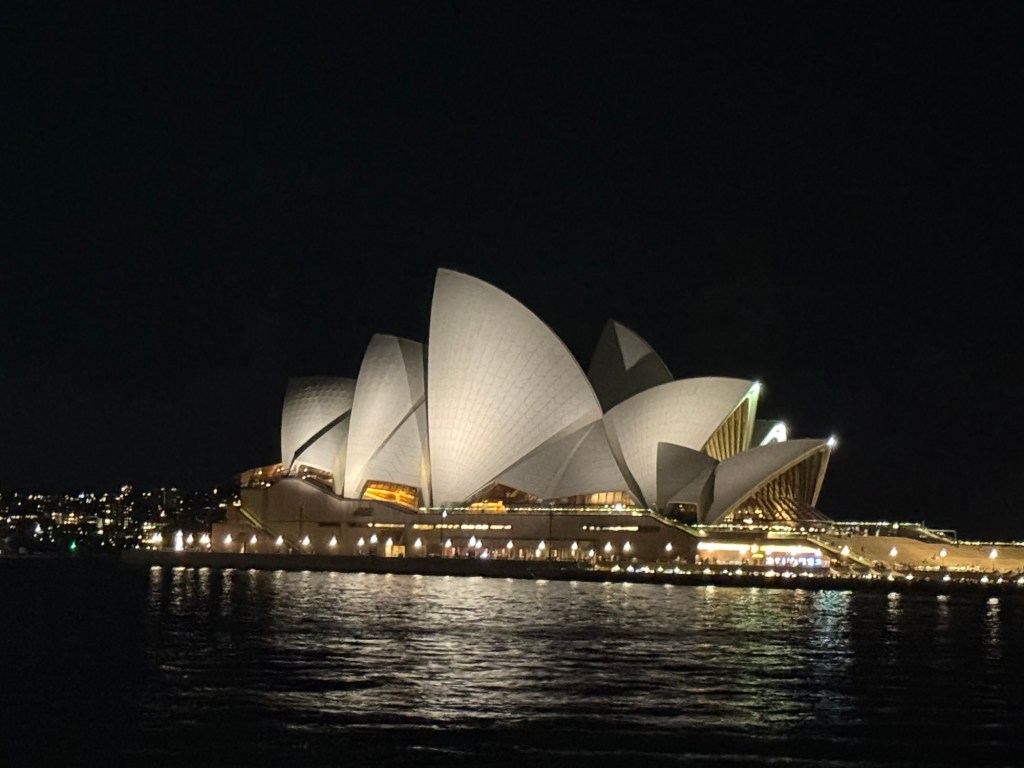
And oh by the way, if you ever get the chance to visit New Zealand, her neighbor, Australia is worth a look. We flew to Sydney after our ride and spent six days exploring. Sydney is easy to get around using their public transportation system of ferries, train, light rail and bus. She’s friendly, historic and absolutely stunning. And they have bike rentals, a cool bridge climb and I’m sure you’ve heard of the Sydney Opera House. All are worth a look!
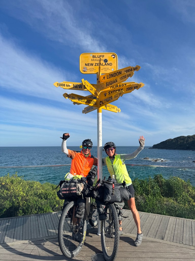
We weren’t planning on finishing today but a morning tailwind, sunshine and adrenaline pushed us to Bluff on the longest ride of the tour so far. And we wanted to do something big for our last day!
So here we are… in Bluff. The finish line of the Tour Aotearoa.
There will be more thoughts to share when we get home, but first Australia. And no bike riding, just hanging out.
Thank you everyone for your support, prayers and following our journey.
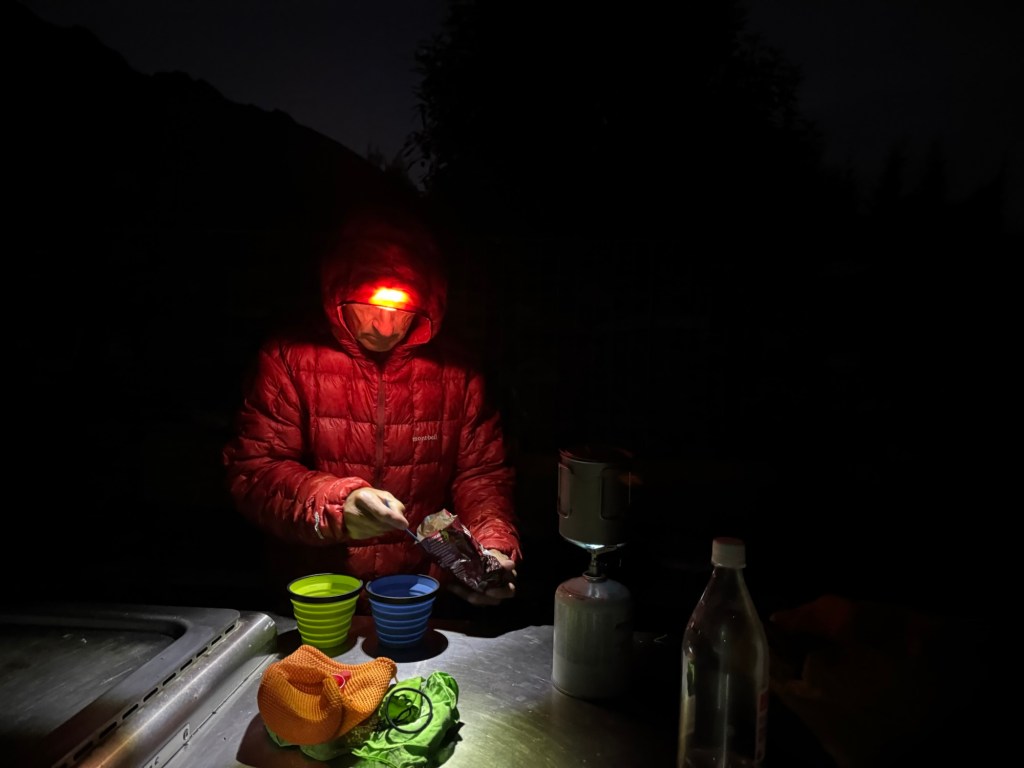
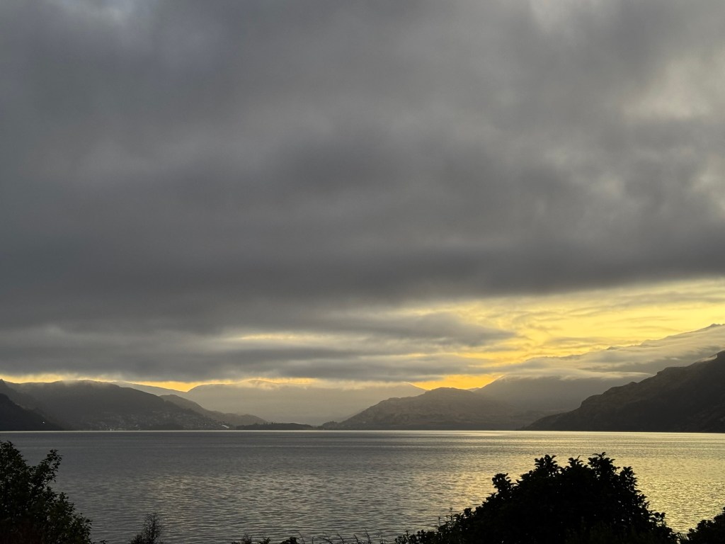
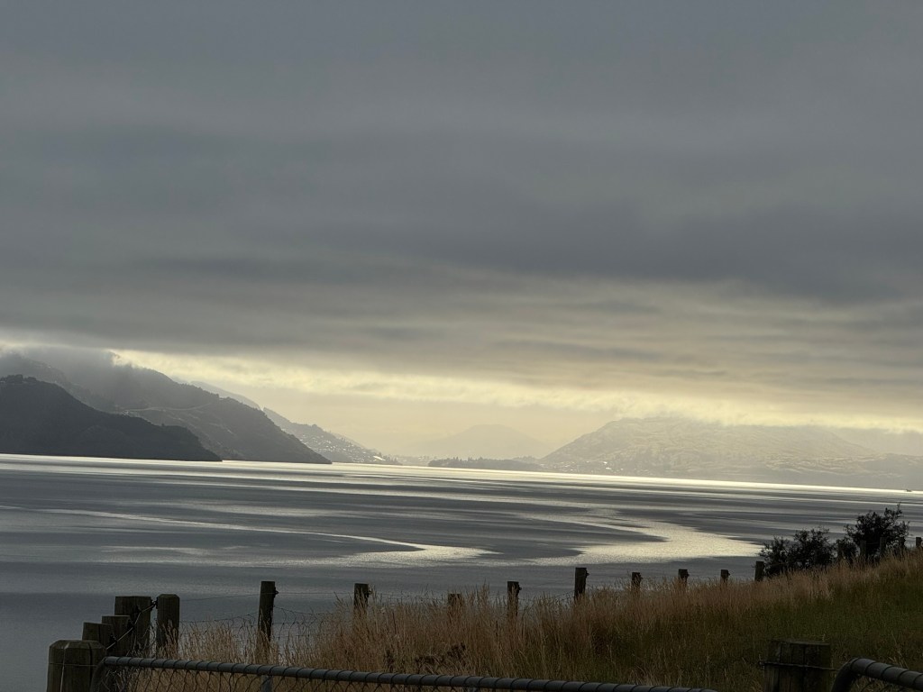
It was a spectacular day of all off road riding. We started the day with some breaky, with a view of the lake we crossed yesterday.
We saw the shimmering lights of Queenstown before we crawled in our tent and again when we awoke this morning (and I actually saw them three times during the night when I got up to visit the “facilitrees” during the night.) 🙄
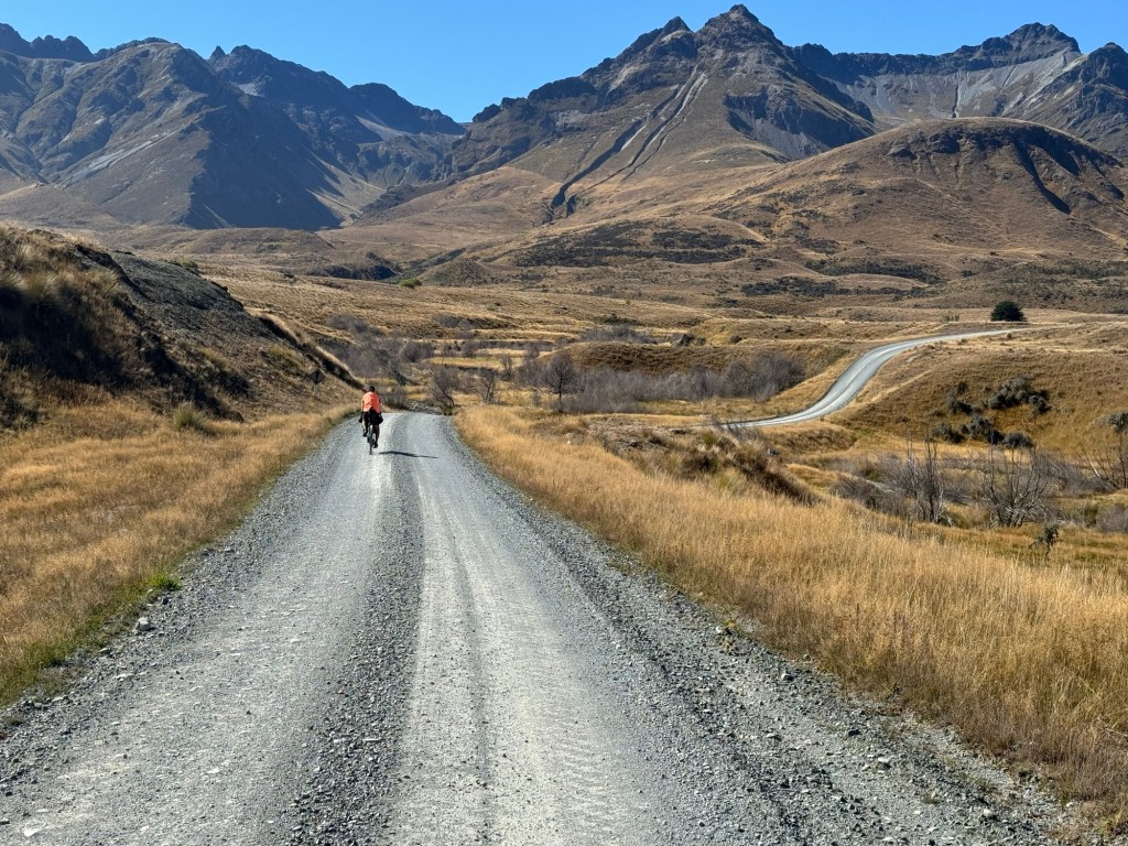
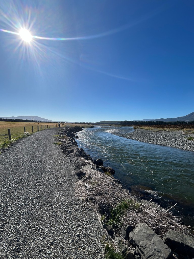
All. Day. Long. From the sheep stations in the high country to the open prairies in the middle of the day’s ride to the stream we followed 15 miles into Mossburn, all day we were awed by the southland’s beauty.
Just a couple pics here…
To view more, click on the image below to view today’s video.
Yep that’s right! Just a five mile ride today for us today. We haven’t taken a day off since Wellington and decided to check the box “Farm Bar B Q” as an add on to our ferry ride across Lake Wakatipu to Walter Peak Station.
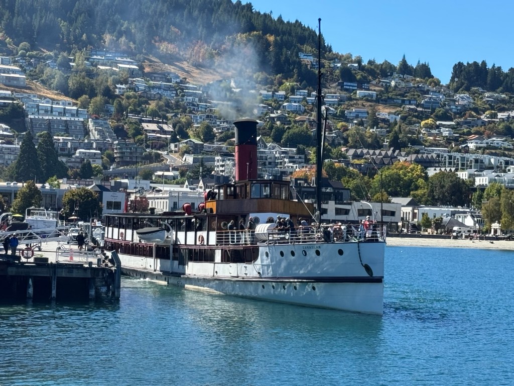
Before we left Queenstown however we had one last resupply at a Four Square and enjoyed a couple of flat whites while watching boats come in and out of the harbor. Pictured below is TSS Earnslaw, a coal fired steamer built in 1912 and still in commission.
Once aboard the Spirit of Queenstown, we took in all the sites of our fifth and final water crossing of the trip. Dang our first ferry out of Pouto Point seems like forever ago.
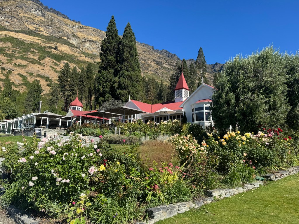
Our destination today, Walter Peak Station, in its heyday spanned over 170,000 acres, grazed 40,000 sheep and employed over 50 people.
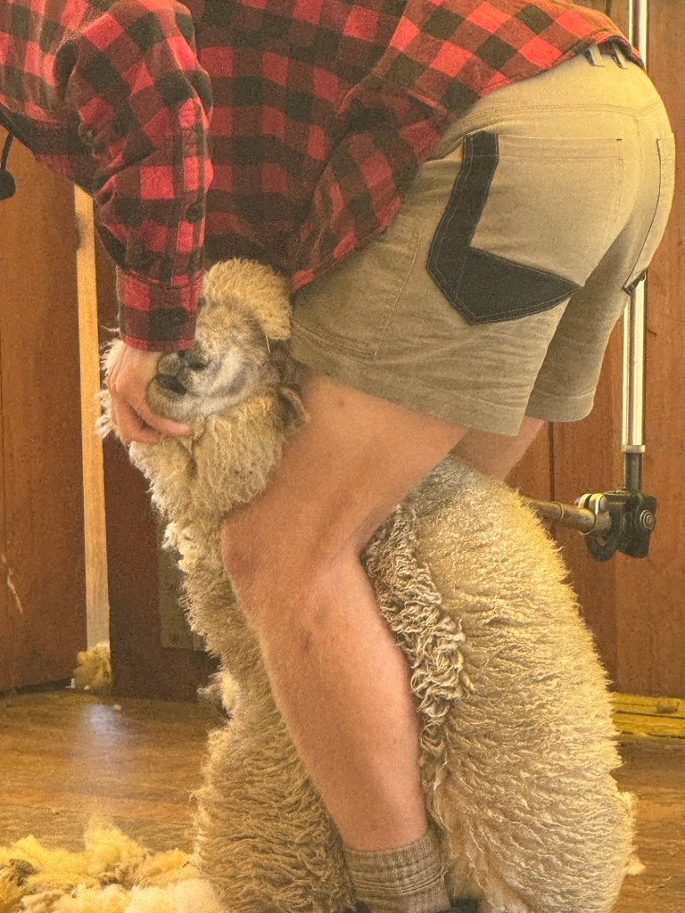
Today, however the station is split in half between two parts: a high country working farm with 20,000 sheep spread over more than 61,000 acres and a second area that includes the original homestead and focused on tourism. And that’s where the we enjoyed the most delicious all-you-can-eat bar b q and learned more about sheep shearing.
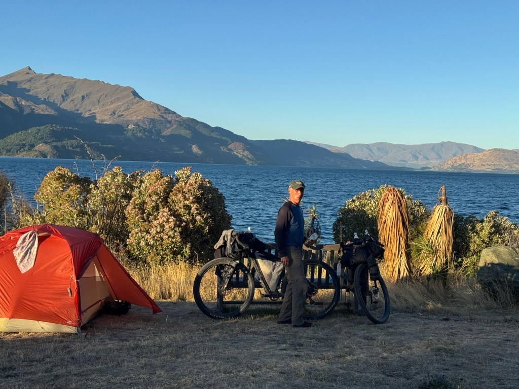
Just a half mile or so up a gravel road we were first to arrive to the Beach Point DOC where we snagged a prime lakefront site.
After we returned from our evening walk back down to the station we found almost a dozen cyclists camped nearby, all of them heading south to Bluff.
It was a good day to be a tourist but we’re ready to knock out the last three days. Let’s go!