Riding Stats (Link to Tom’s Strava)
Accommodations (daily mileage, elevation, etc.)
Route Tracker (track our southbound ride on a Google Map)
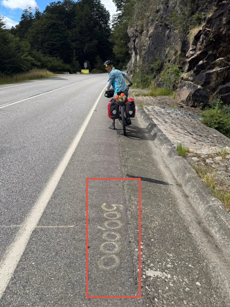
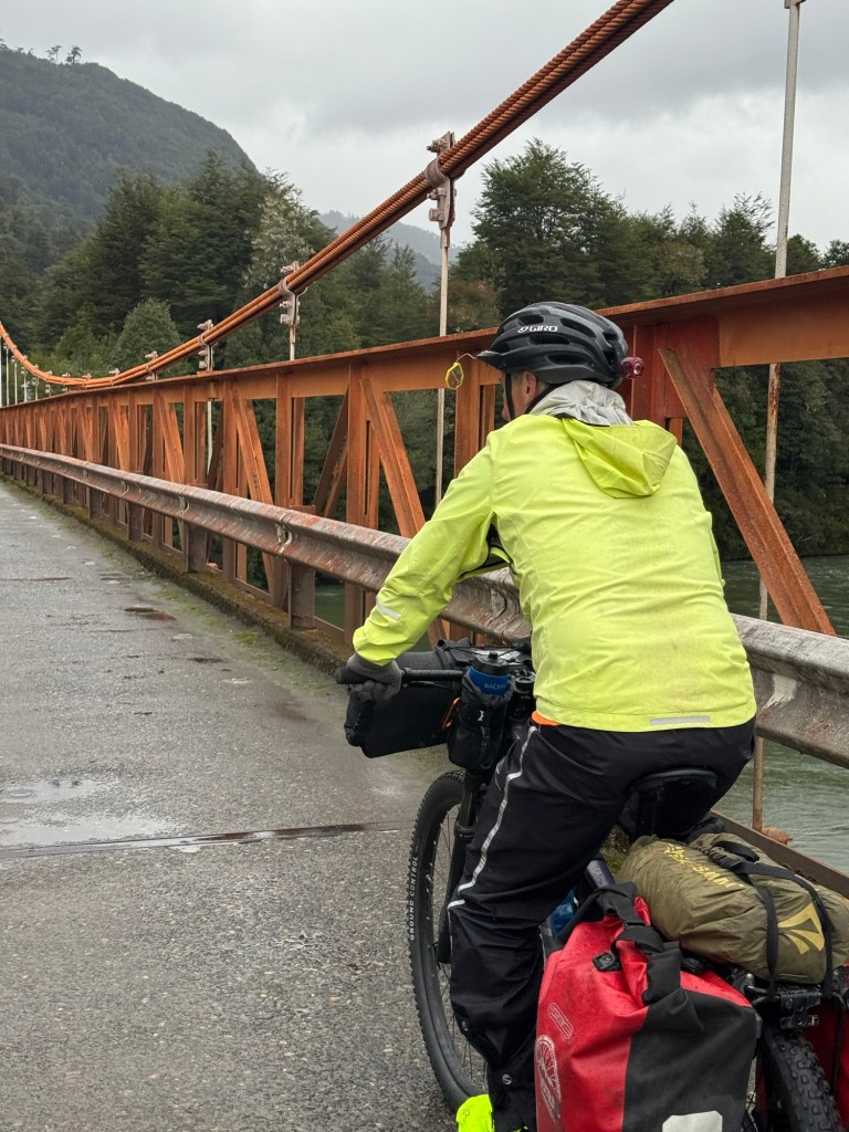
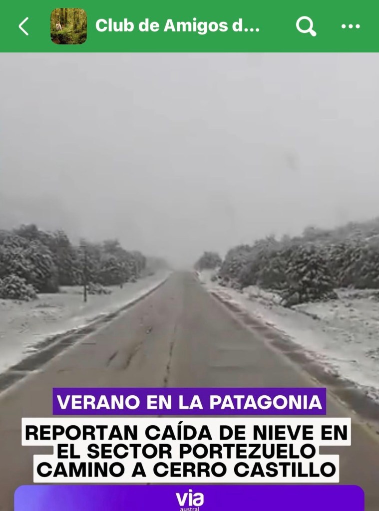
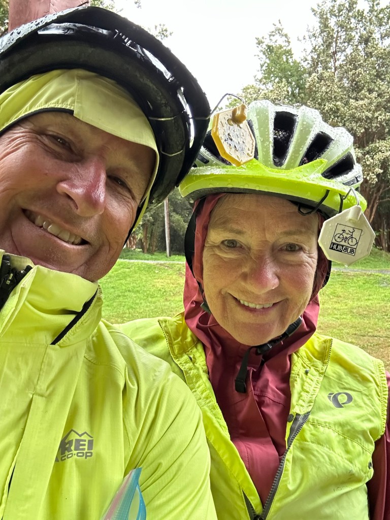
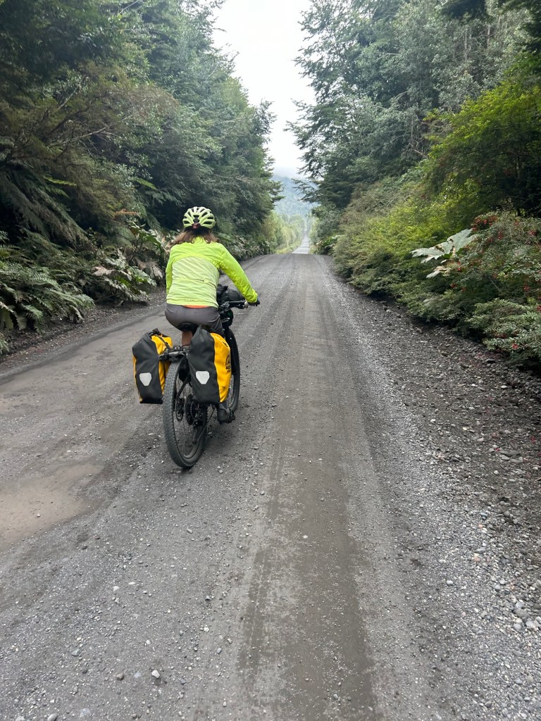
What a devil of a day! We weren’t even sure we were going to ride today because of the pelts of rain coming down as we sat inside the warm community room.
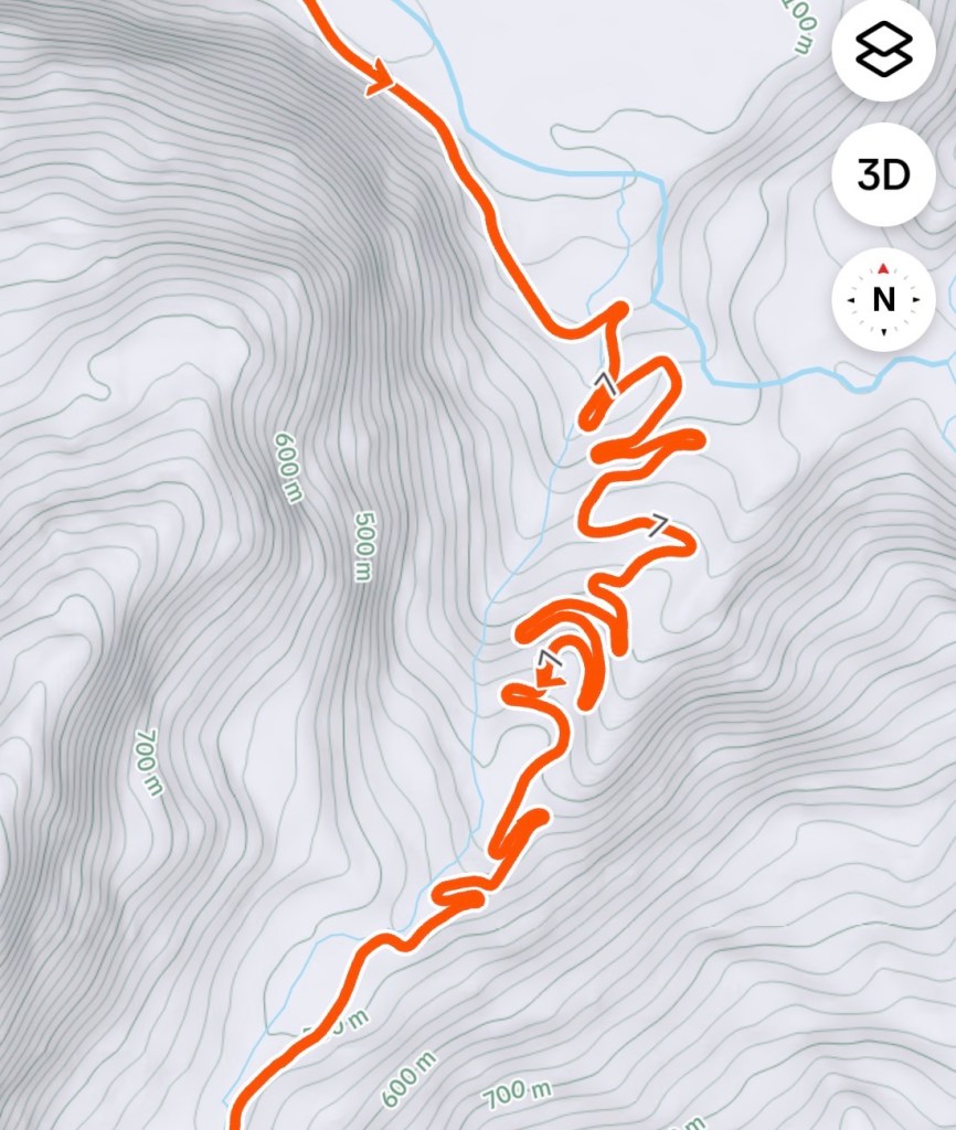
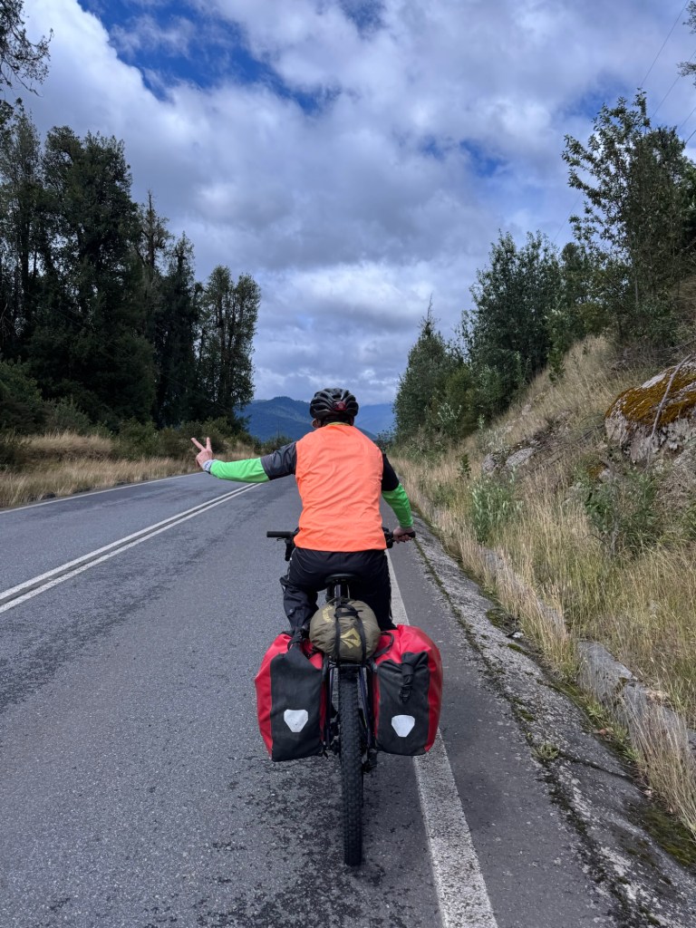
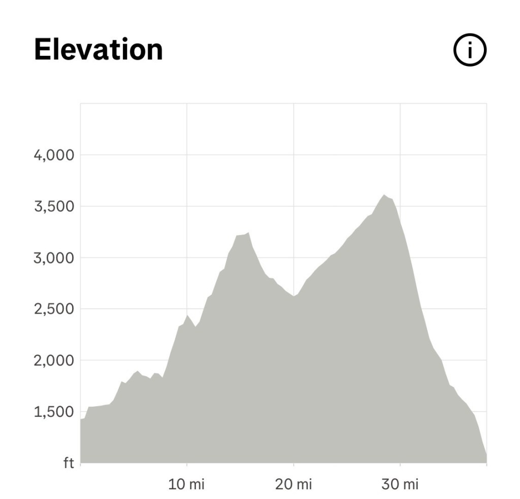
But ride we did to get up and over the Cuesta Del Diablo, Devil’s Hill.
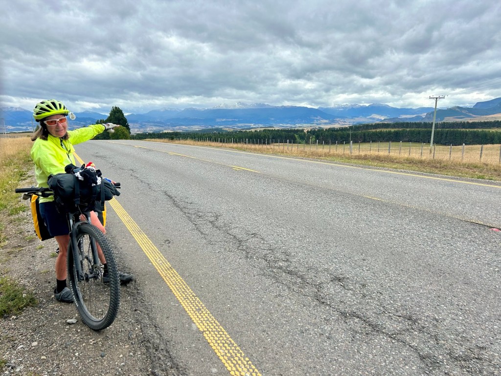
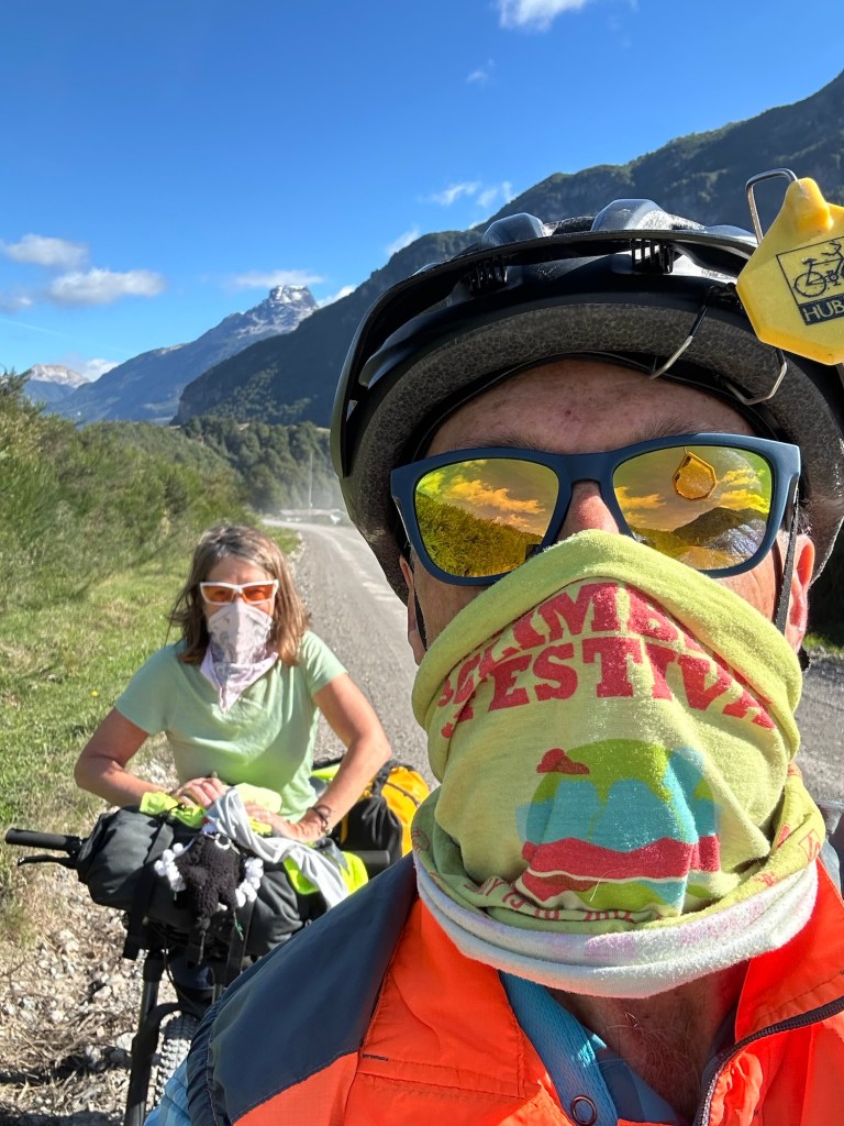
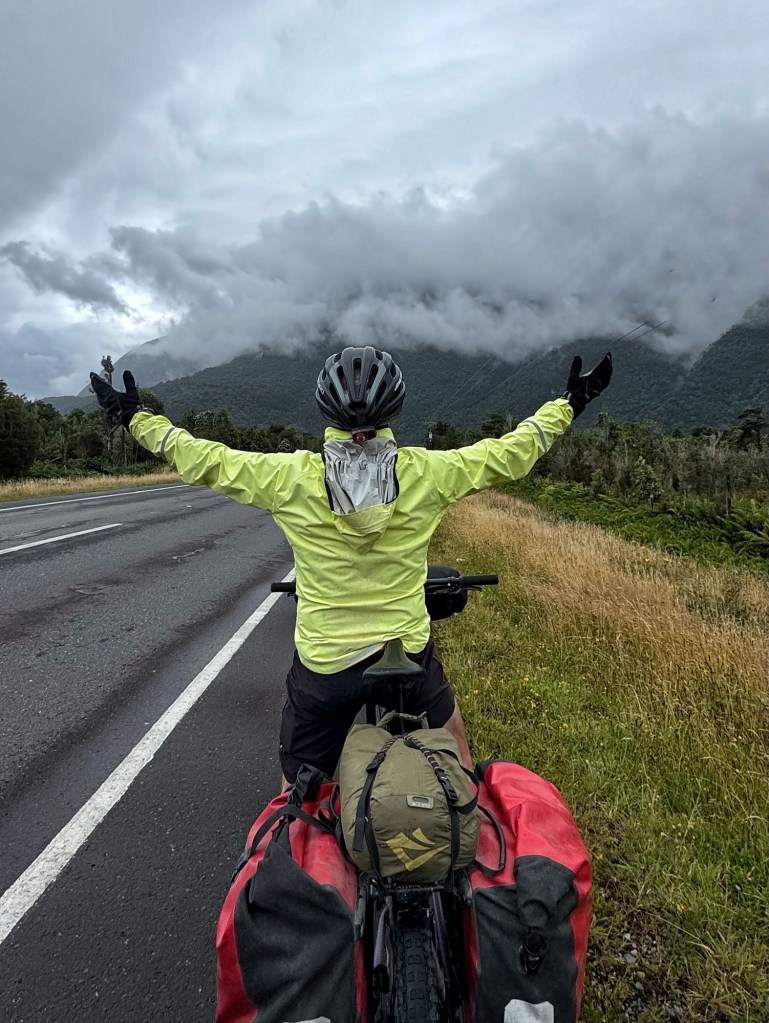
We didn’t start riding until noon and were concerned at the onset about the rain. As it turned out, it wasn’t rain and it wasn’t the climbing that was most difficult.
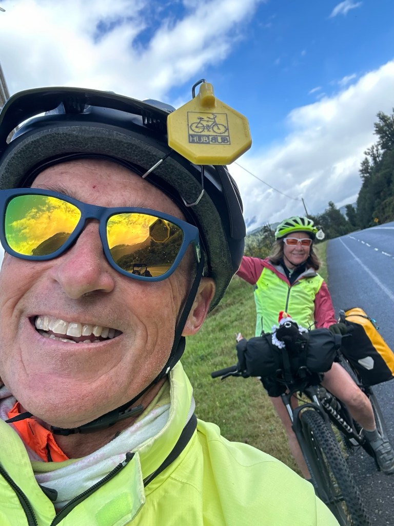
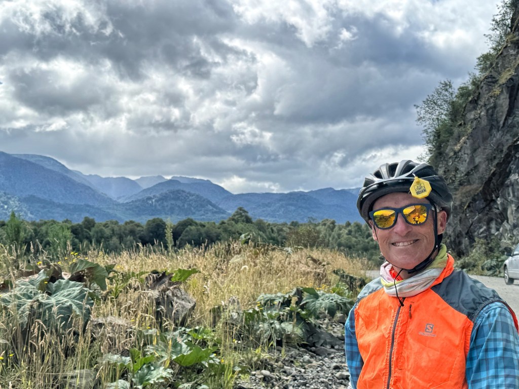
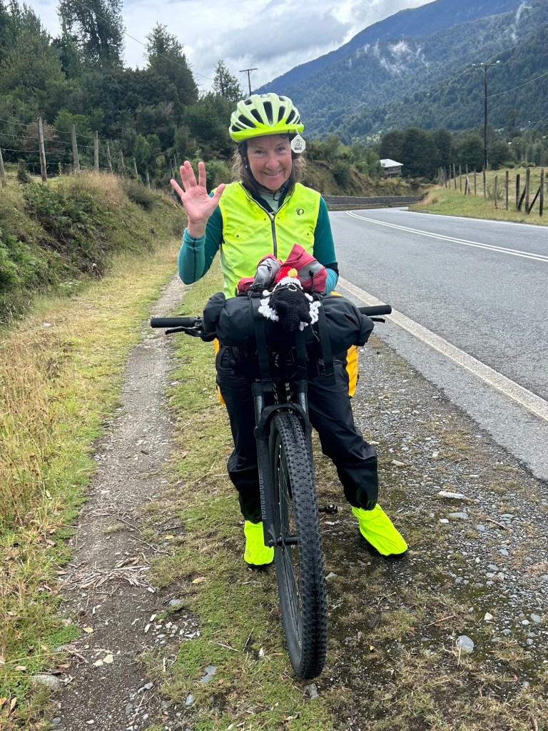
It was the wind. 💨 Though gusts of 30 mph nearly blew us over we were able to keep moving forward but it was very difficult to keep the bike upright with the gusty winds swirling through the mountains. And we never knew which way the wind was going to blow.
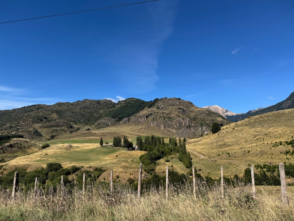
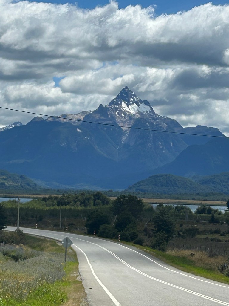
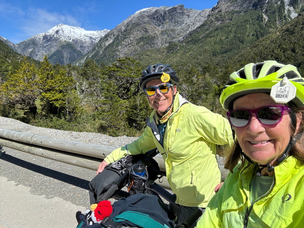
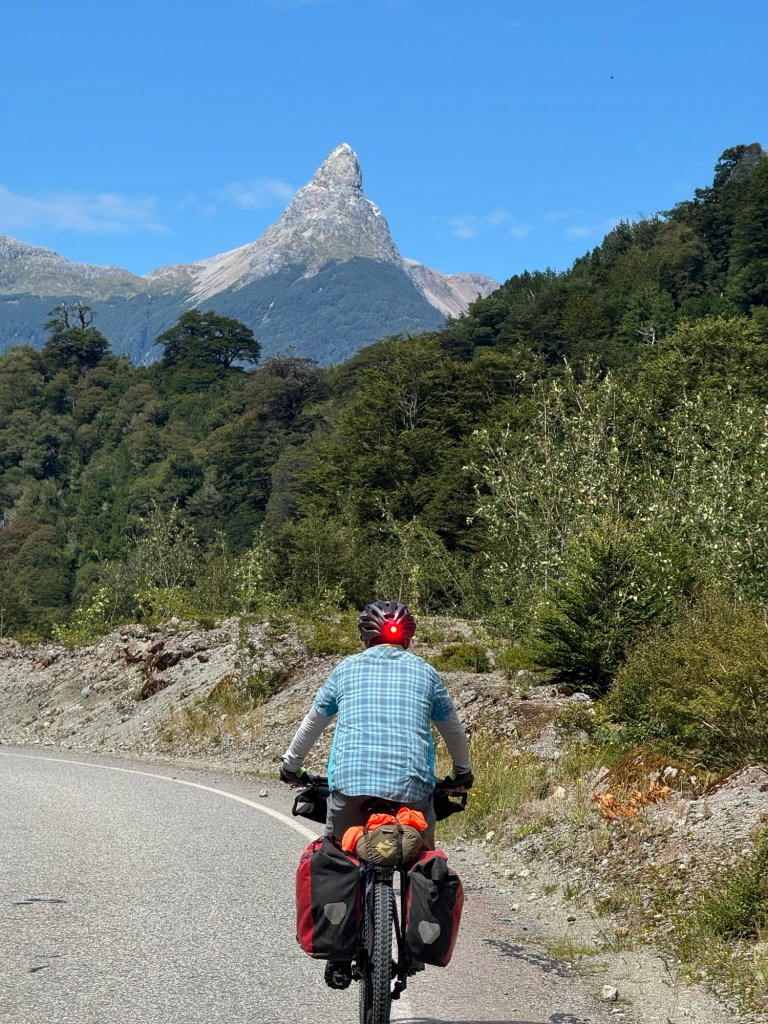
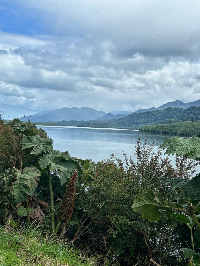
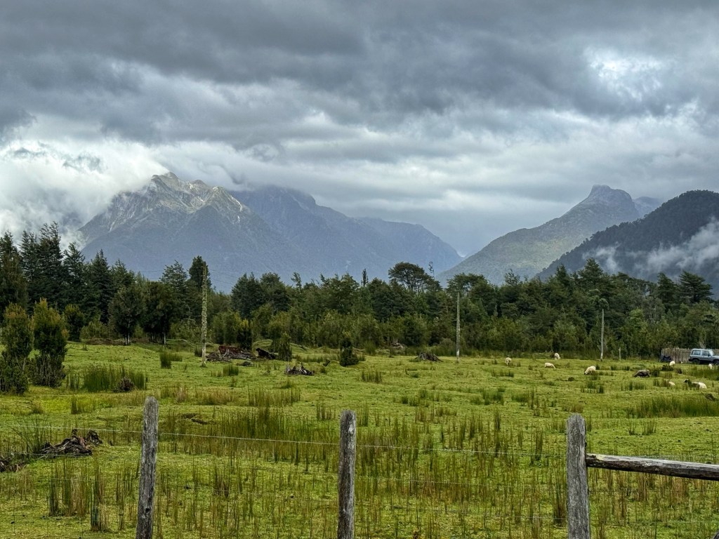
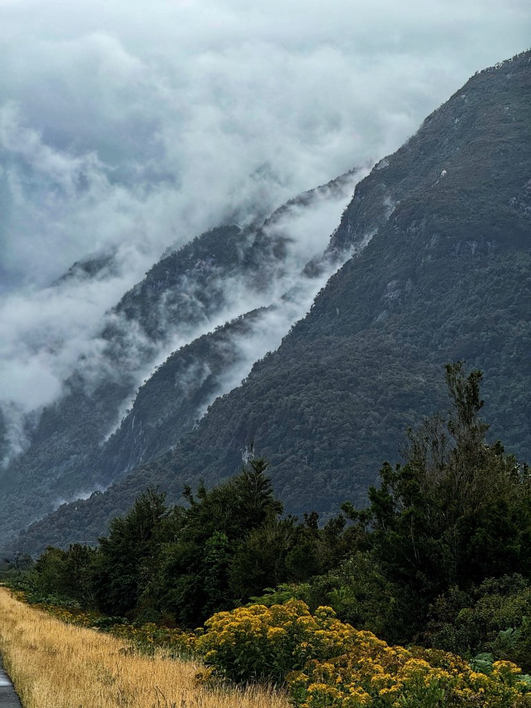
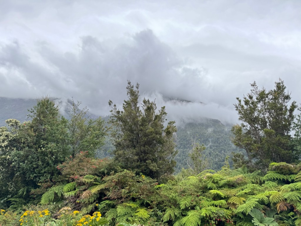
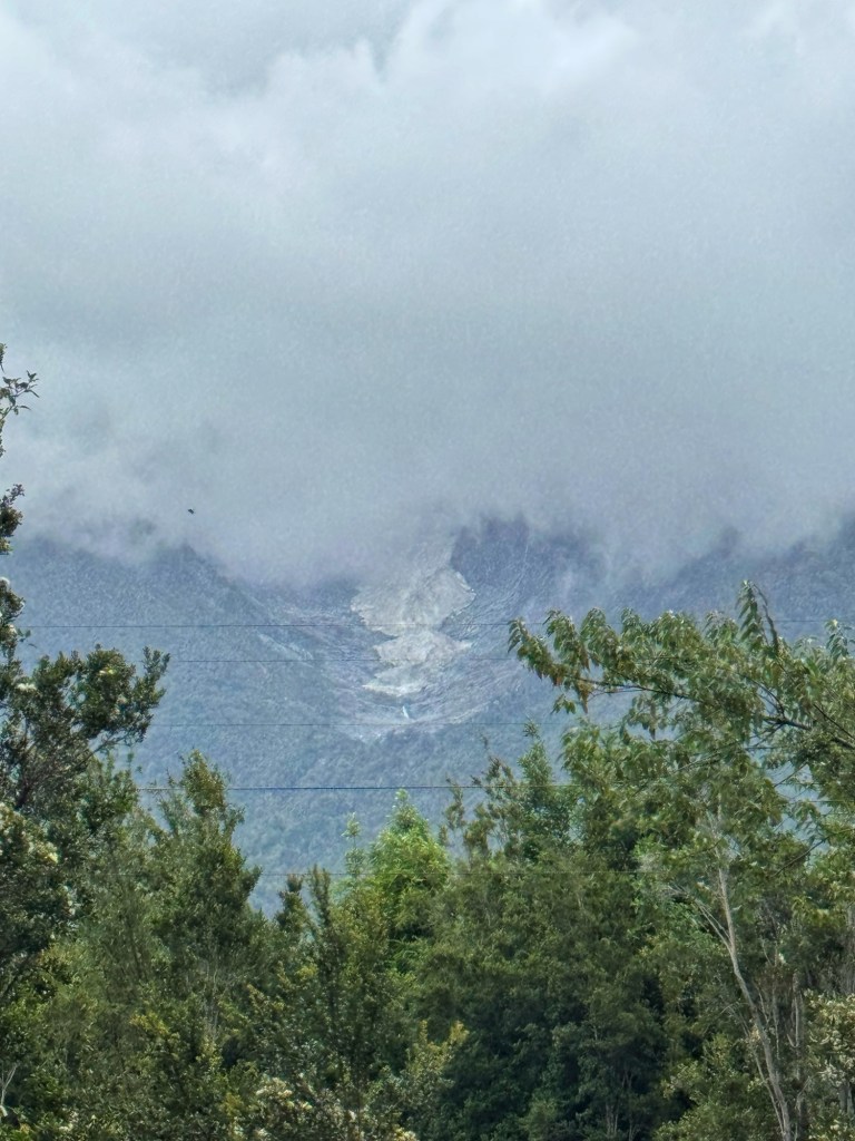
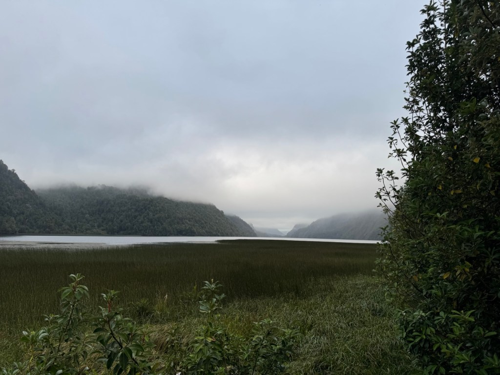
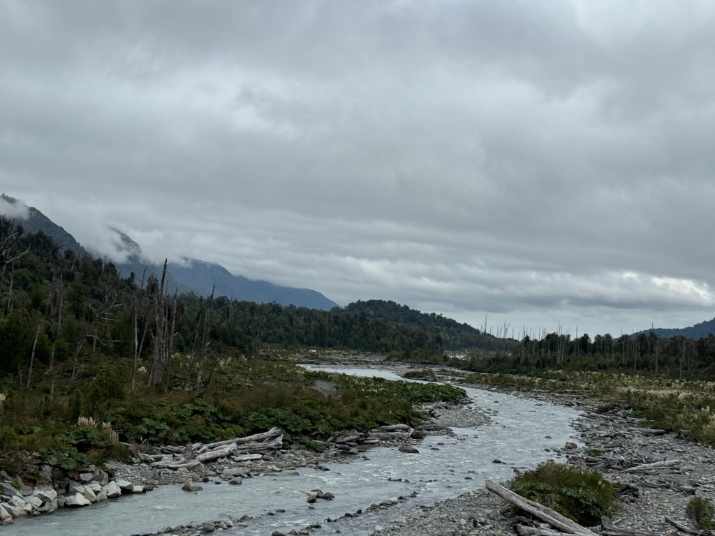
Wind is what will suck the energy out of a cyclist because it’s relentless and today was proof of that. I’d put today’s ride through the Cerro Castillo National Park, in the same category as the ride through the Glamis desert on Southern Tier and the ride up the Remutaka Rail Trail in New Zealand last year.
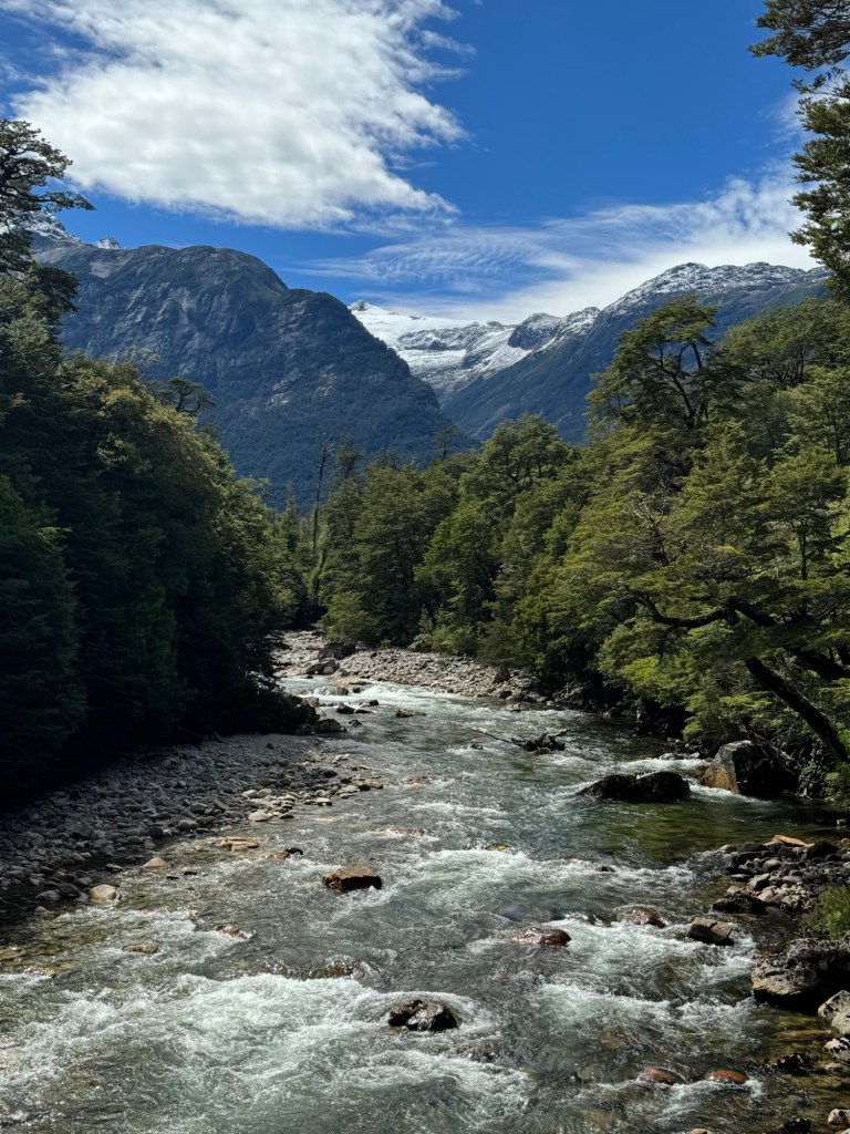
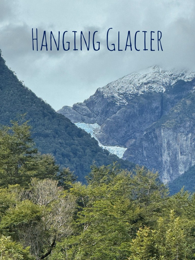
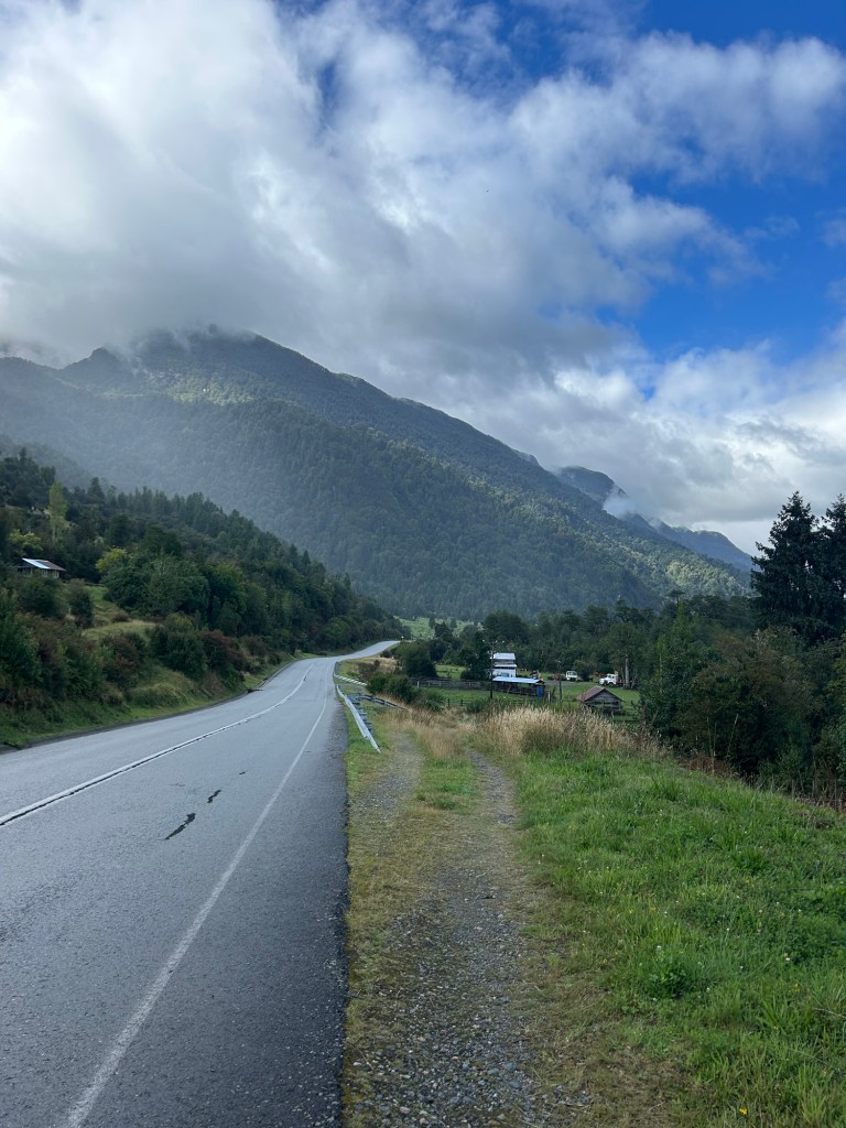
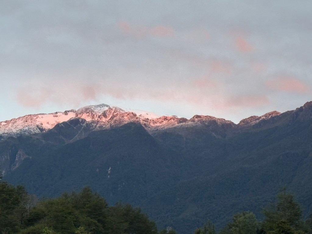
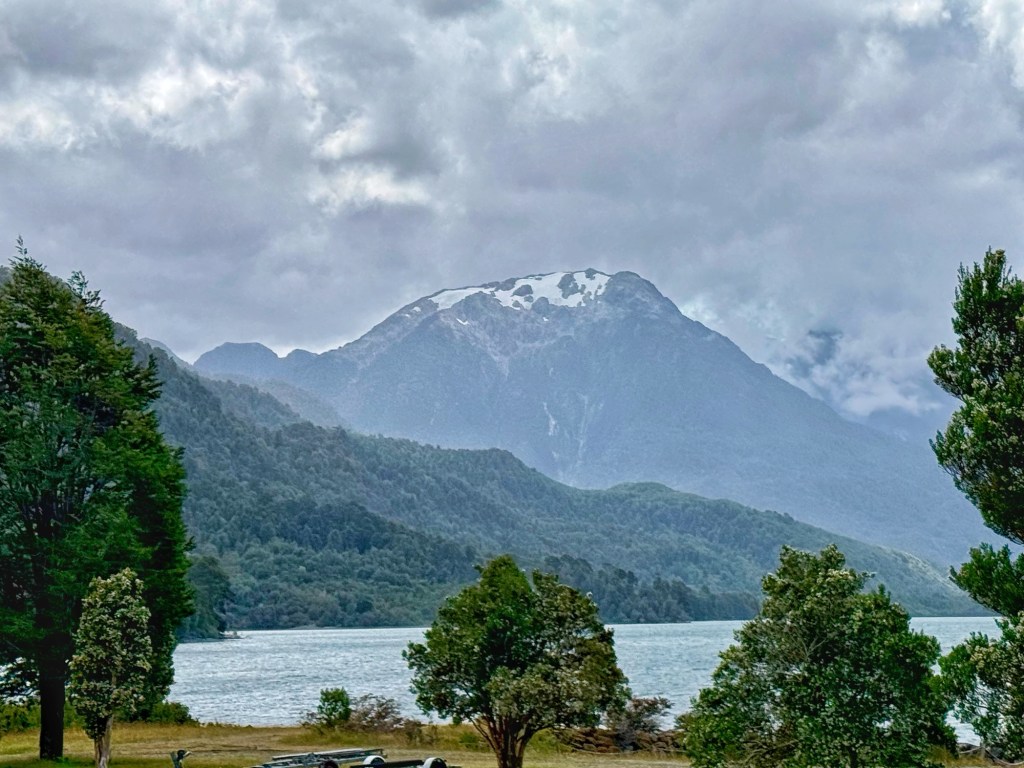
Without a doubt however, I will say (for me, not sure about Tom), the last 10 mile descent (some of it switchbacks) was the most stunning scenery I’ve ever experienced whether in a car or on a bike. The devil may have thrown wind at us but God sure does good work. 🏔️ Thanks for keeping us safe today.🙏🏻
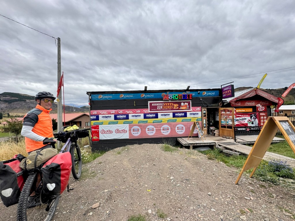
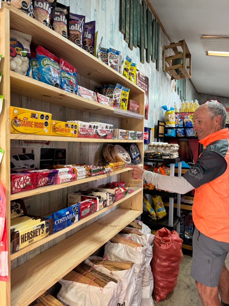
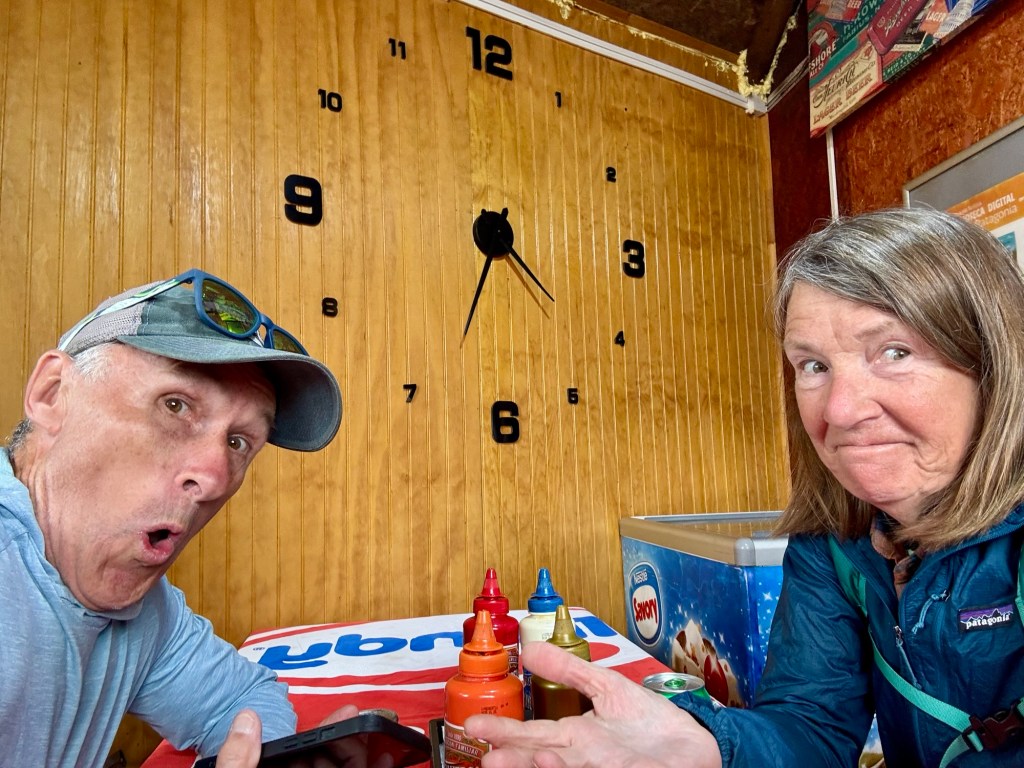
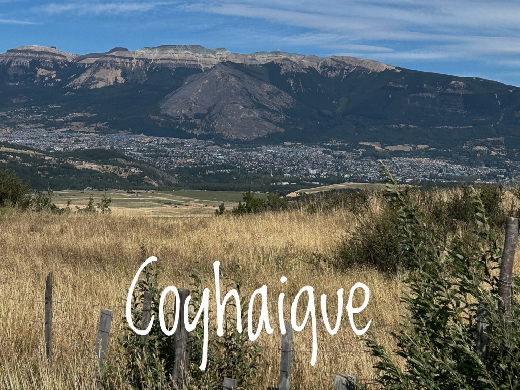
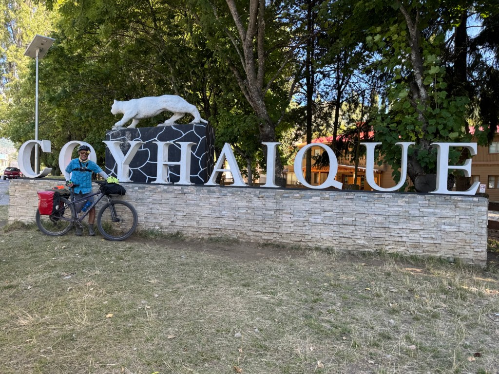
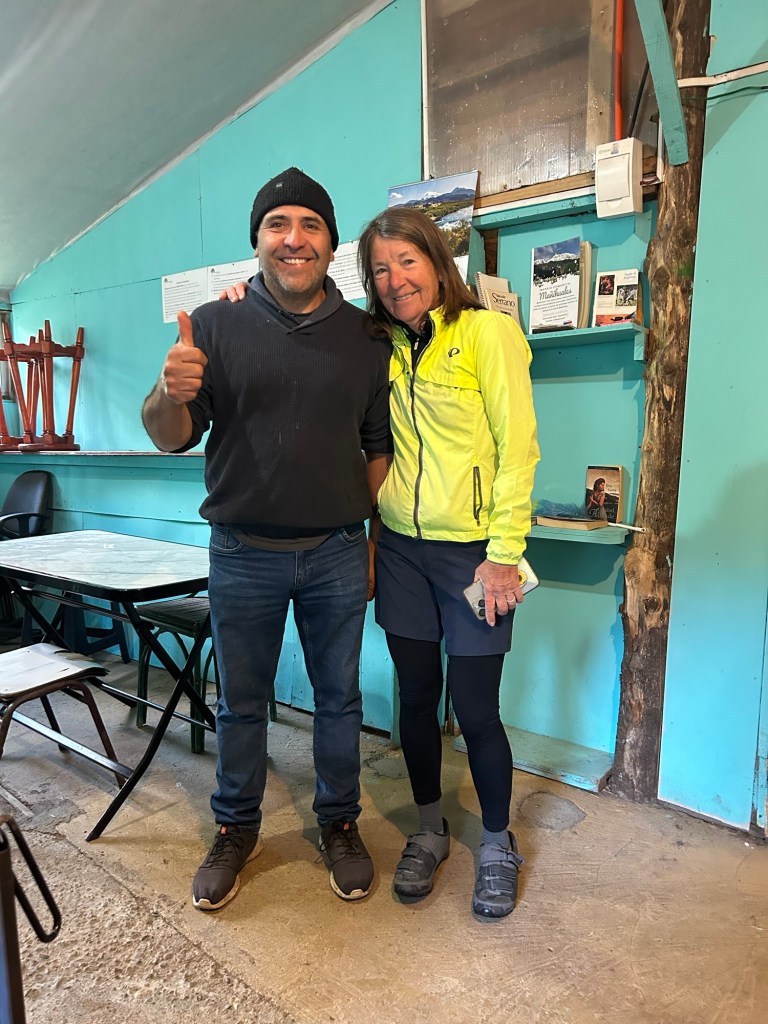
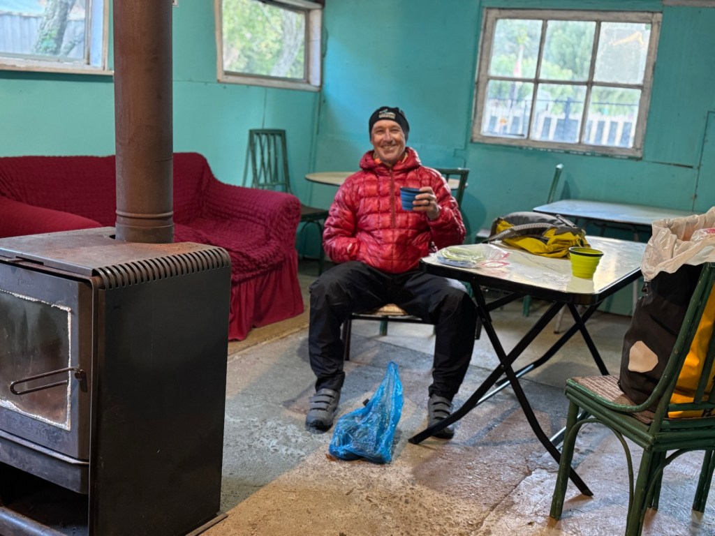
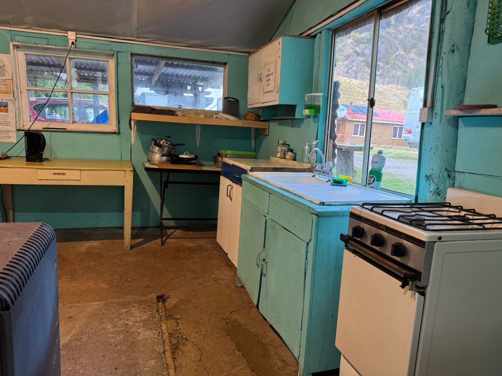
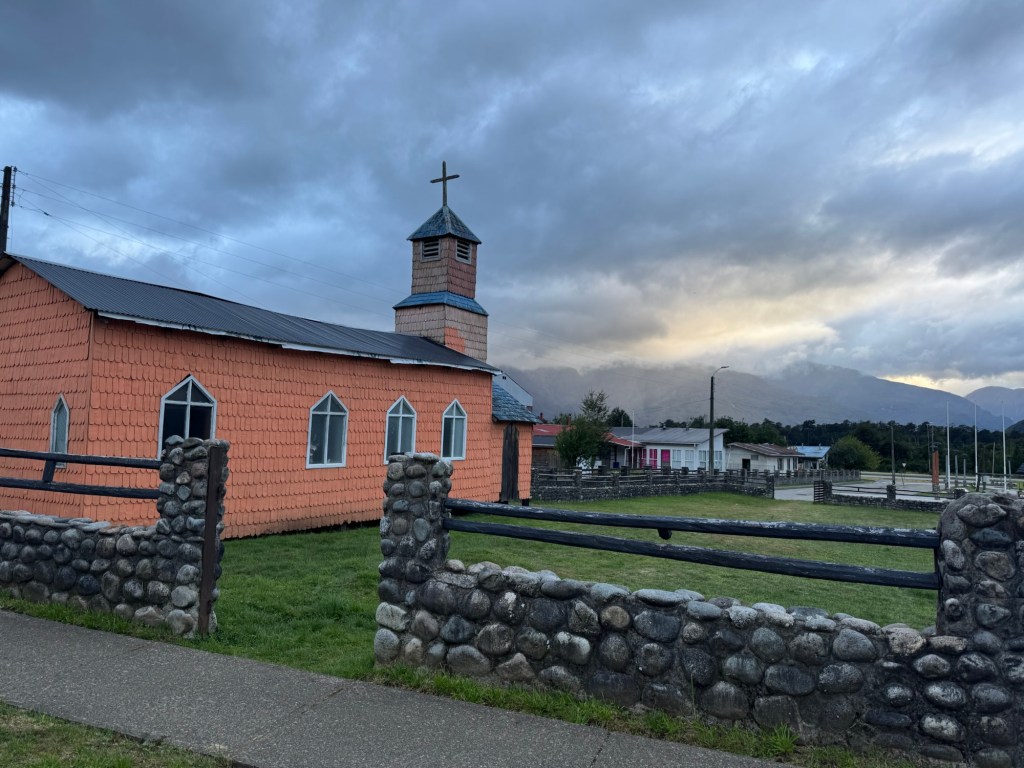
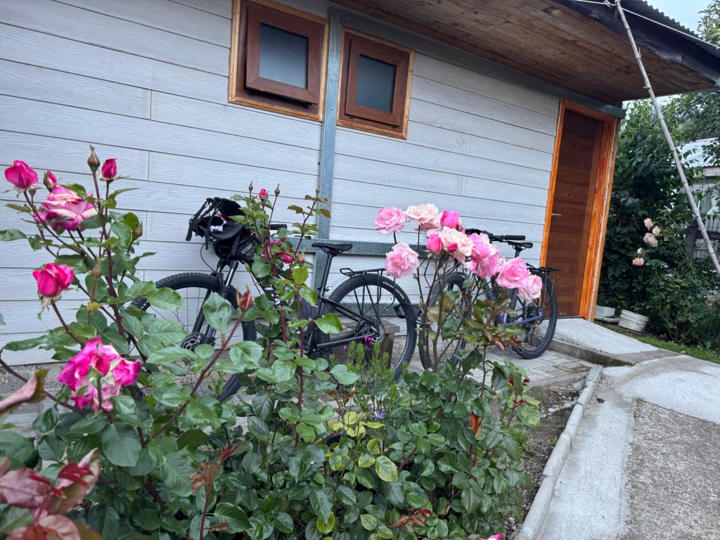
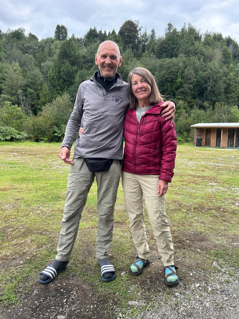
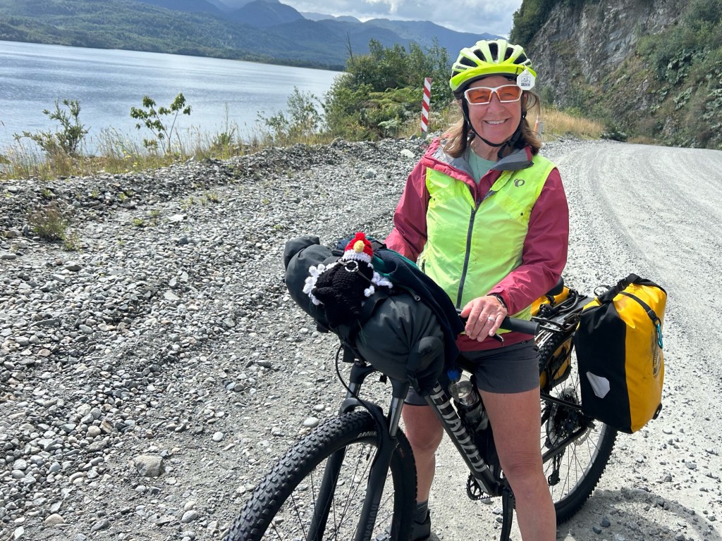
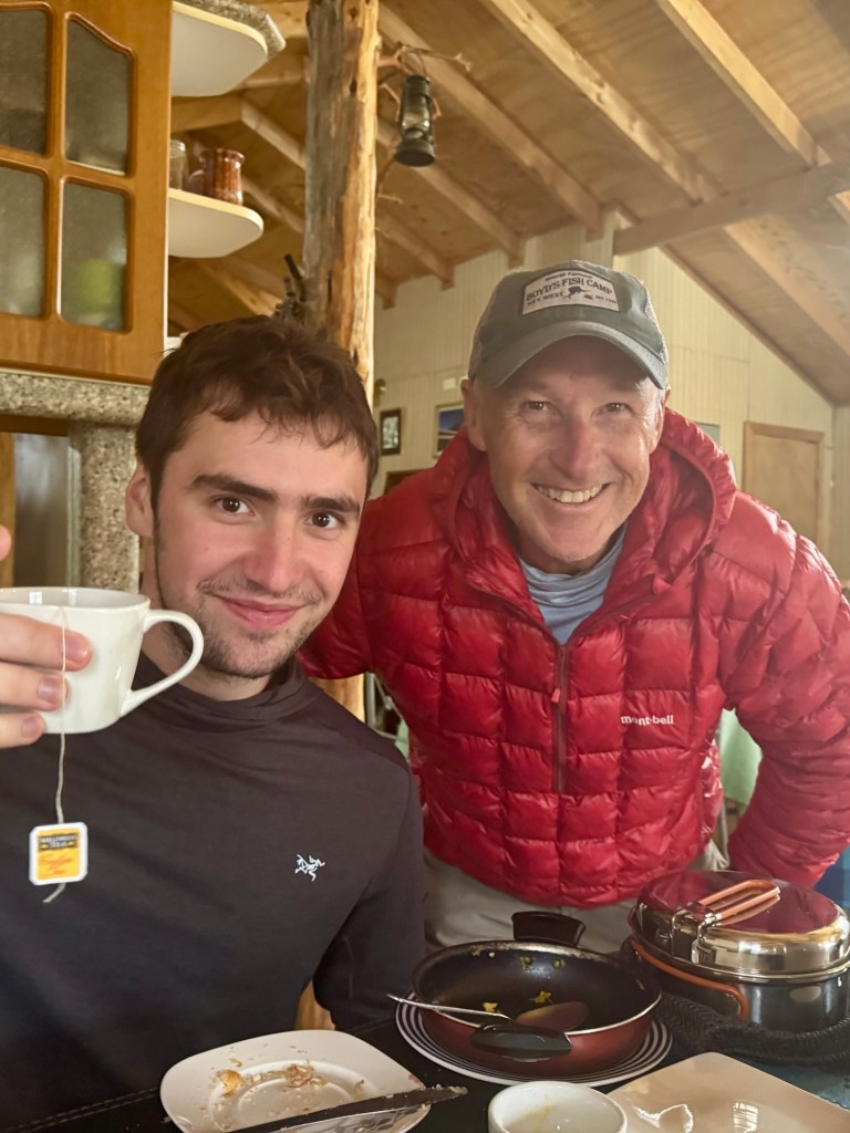
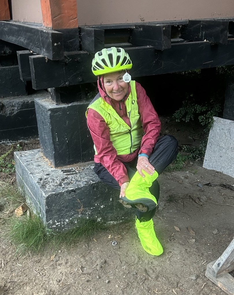
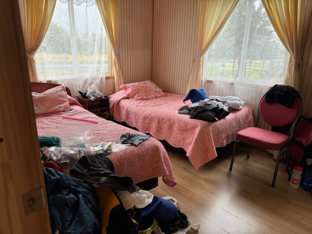
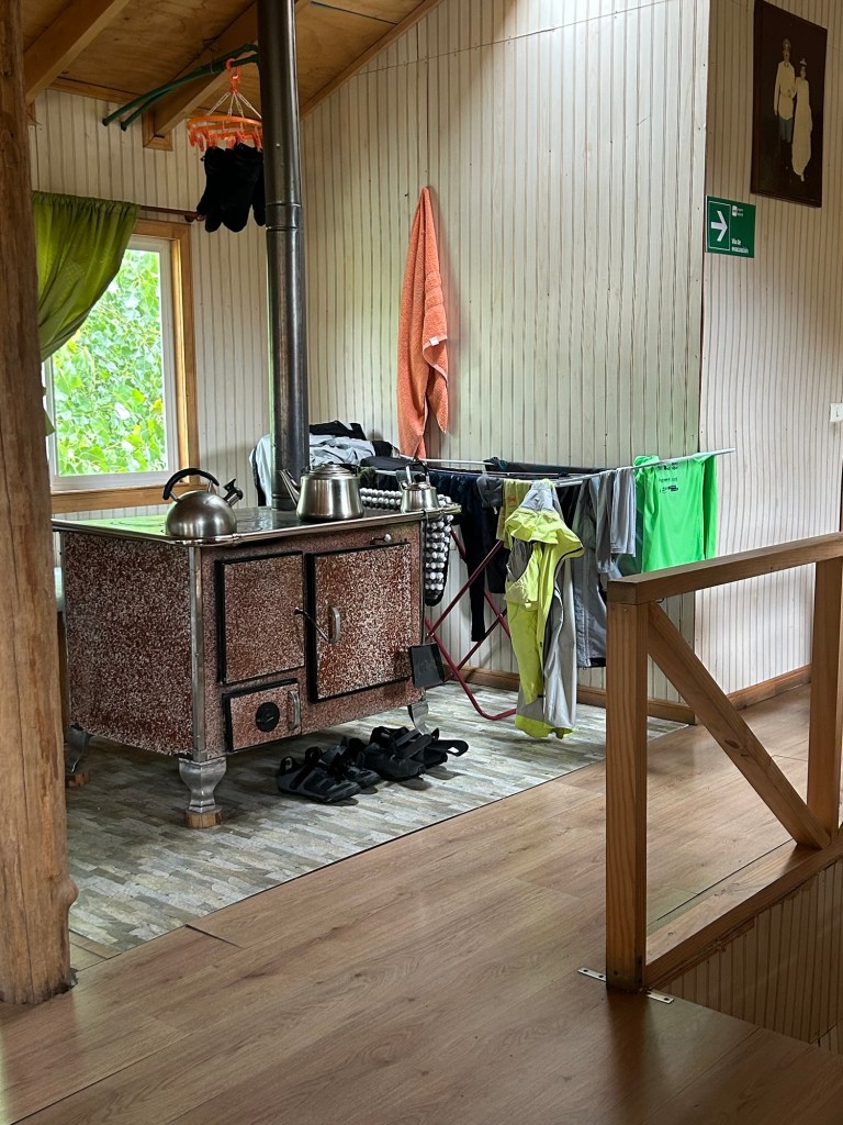
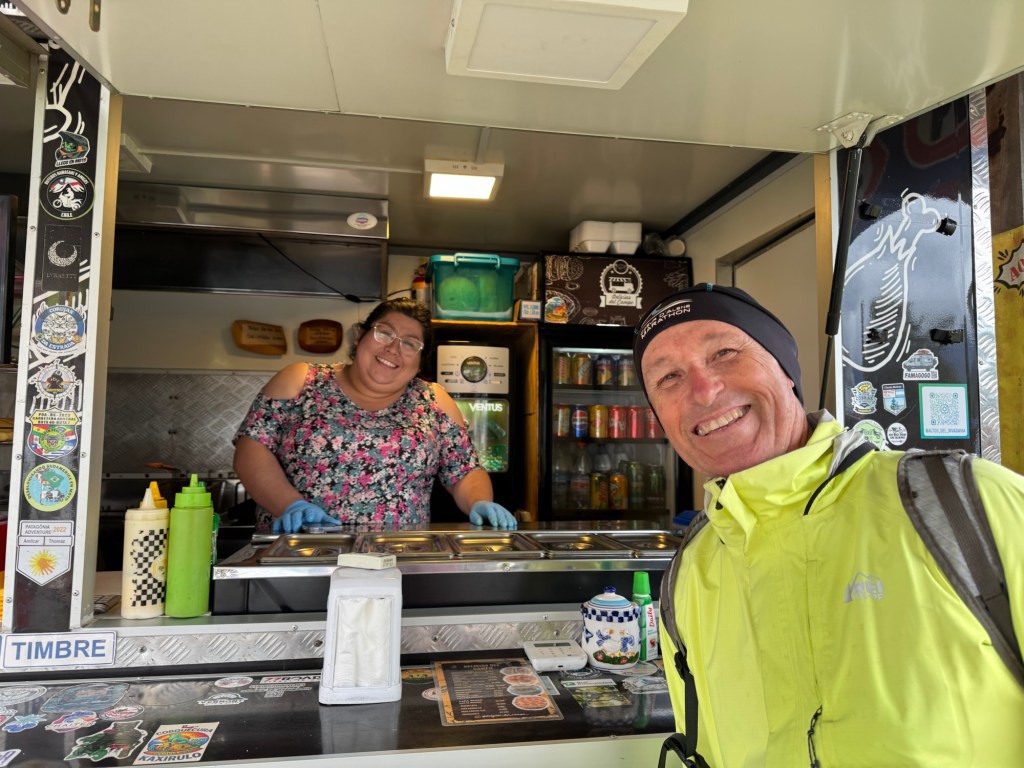
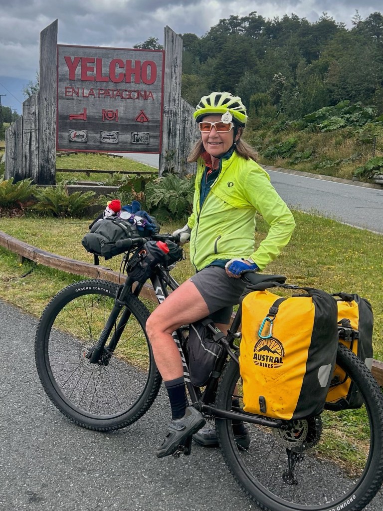
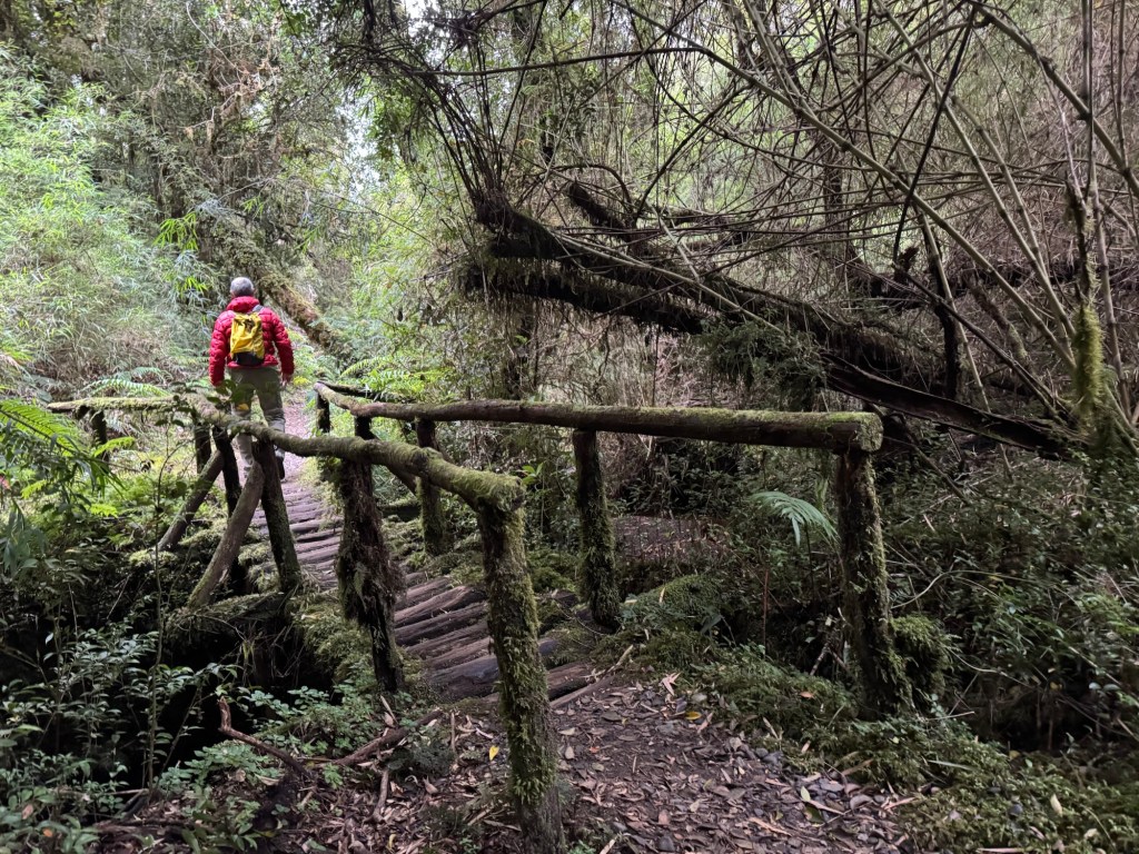
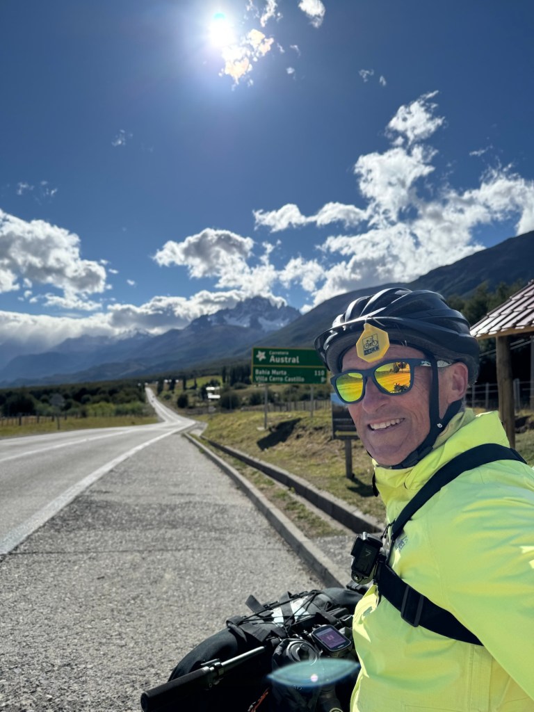
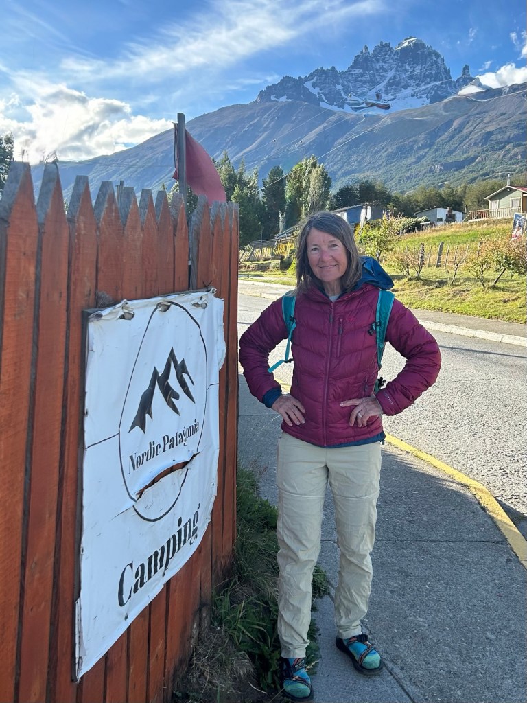
Chilled and wind beaten we opted for an inside stay at a hostel in the mountaineering town of Cerro Castillo, a hub for bikepackers, climbers and backpackers nestled in the mountains of the national park.
Click on the image below to view today’s video: