
Riding Stats (link to Tom’s Strava)
Accommodations (daily mileage, elevation, etc.)
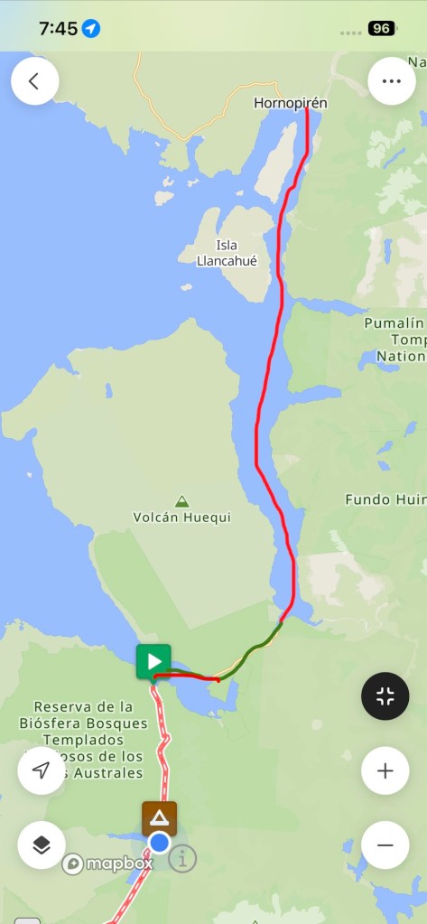
Route Tracker (track our southbound ride on a Google Map)
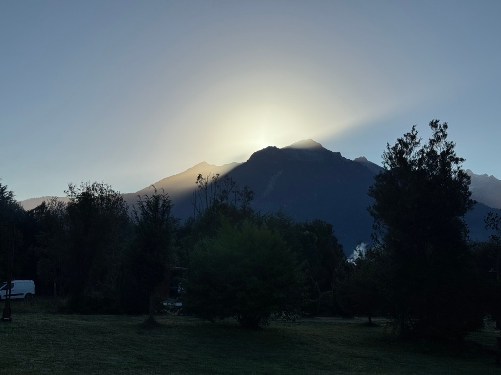
We decided to pack up early and quickly find coffee and our ferry boarding area. But first prayers in front of the sunrise peeping over the mountains.
Today’s journey was unique in that we had a three hour ferry ride, then a six mile bike ride to the next ferry ride (a shorter one) and then a final bike ride to our campsite. This is what the route looked like.
There’s a little anxiety that comes with “make it to the ferry” or else, but one hour proved plenty of time to make the boat. However that didn’t leave much time for snacks or pics in the lush rainforest we cycled through.
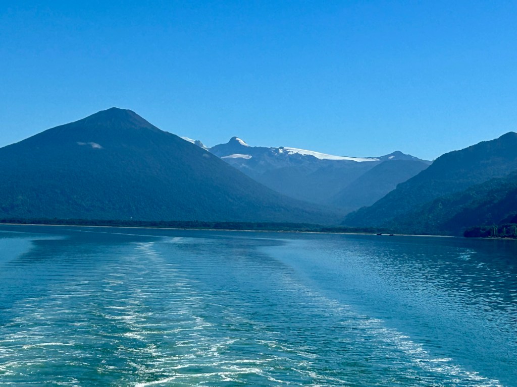
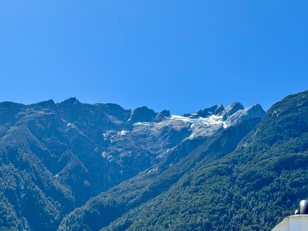
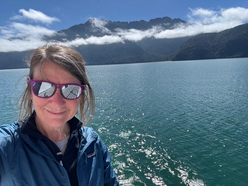
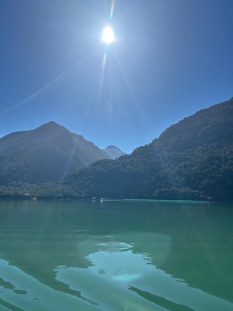
Under Smurf blue skies, the views from the ferries were stellar and it was a relaxing way to take a break from cycling.
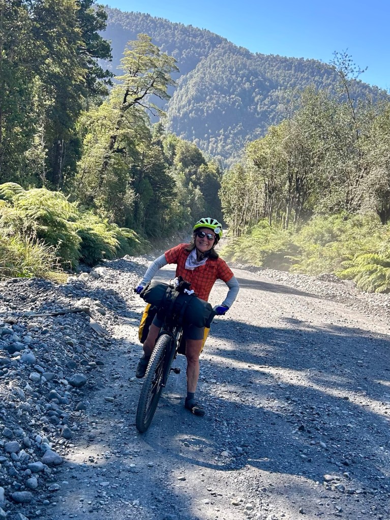
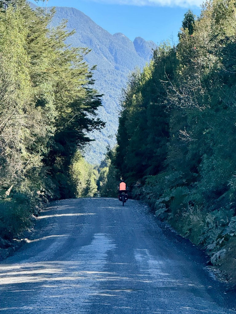
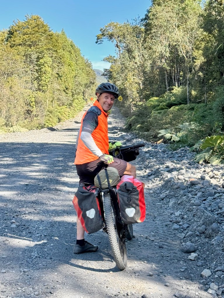
After the second ferry the pavement ended and the gravel — and hills — began. We opened up the front-fork suspension and suddenly the trail stopped fighting us. The bikes skimmed over the babyheads like water over pebbles. Soooo much easier on the last 11 miles and the day.
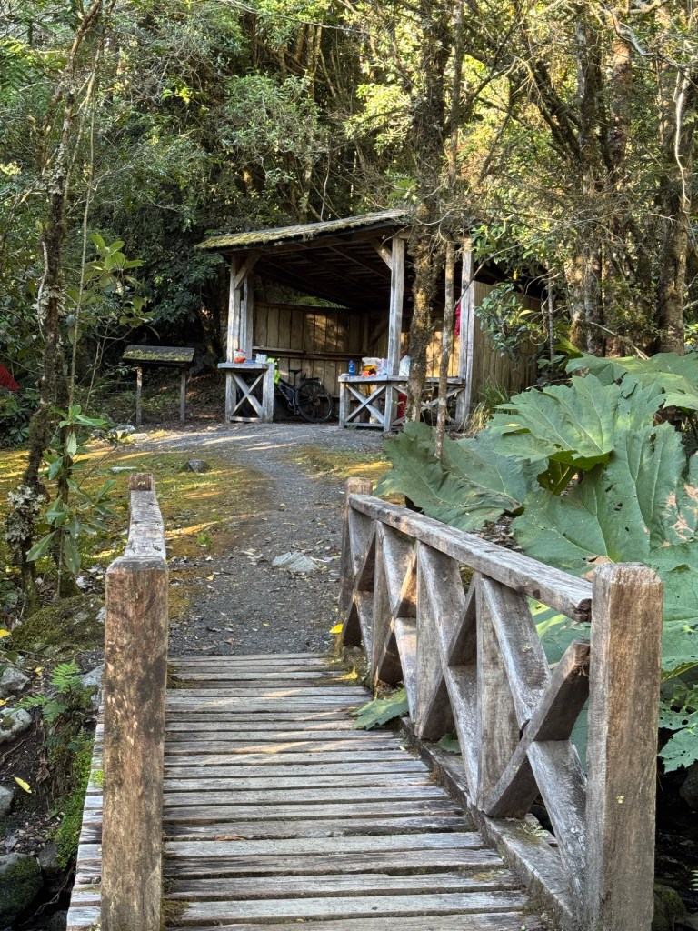
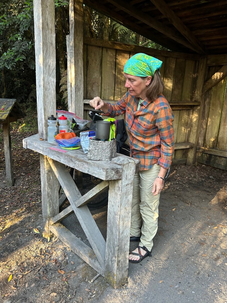
After some research, Tom started using a new campsite app called iOverlander to find both established sites and wild camping spots. It’s crowd-sourced and takes a little getting used to, but down here it can be a lifeline. Cell service is often nonexistent in southern Chile, yet if you download the regional map ahead of time the app still works and suddenly you have other travelers quietly guiding you to places you never would have found on your own.
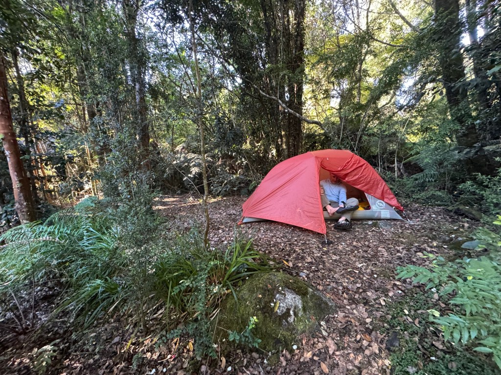
Tonight we are camping in a National Park and have just about the whole area to ourselves.
All in all it was a “ferry” nice day and we are learning more about our bikes, the route, and even a little more Spanish each day. 😉
Click on the image below to view more pics and today’s video:

Thanks for sharing your journey. Looking forward to watching your progress.
LikeLiked by 1 person
Thank you so much for following us. It’s such a joy to share about the people and places in Chile.
LikeLike