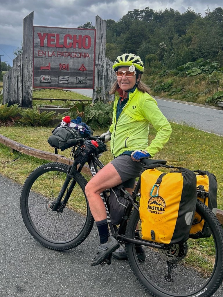
Riding Stats (Link to Tom’s Strava)
Accommodations (daily mileage, elevation, etc.)
Route Tracker (track our southbound ride on a Google Map)
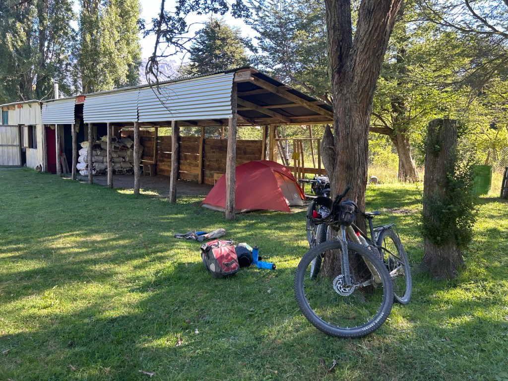
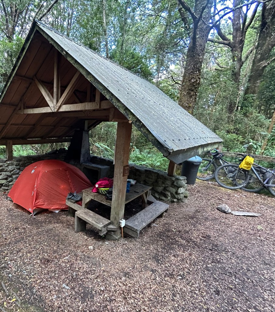
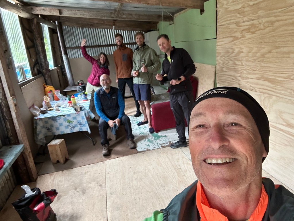
It rained again last night and the forecast is for rain today. As cyclists either emerged from tents pitched inside or mats and sleeping pads on the floor of the shelter, we were all hoping for the same – no rain.
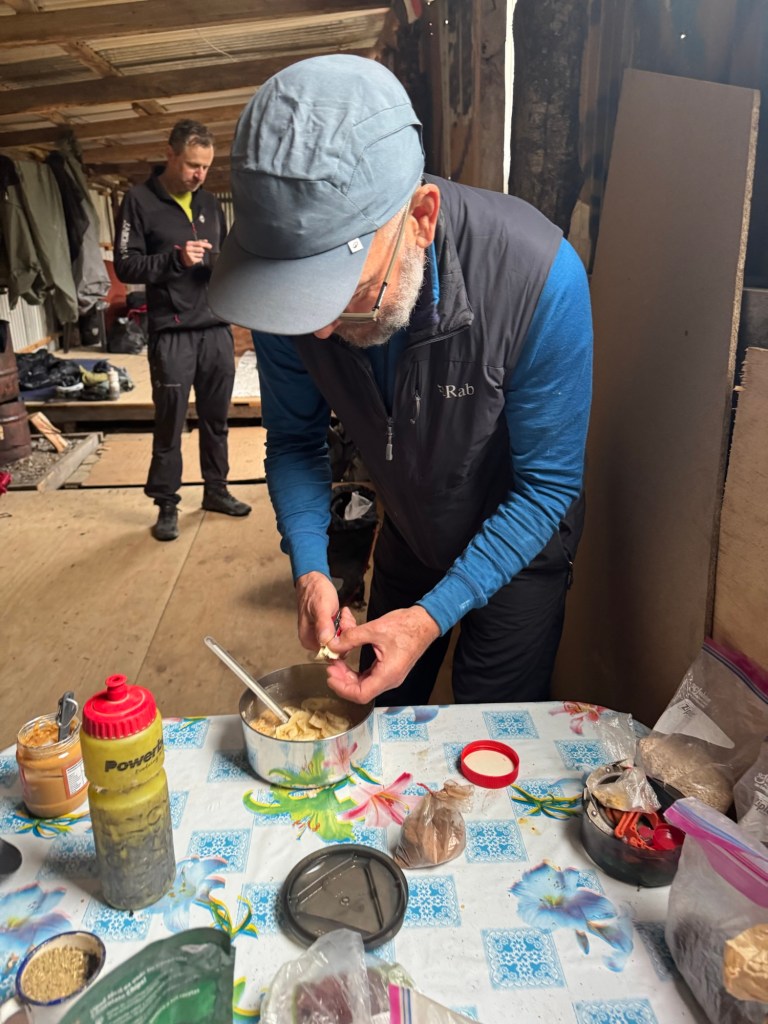
Wayne (from the UK) who I like to call Mr. Ambassador of the Carretera Austral (this is his third time riding it) knows his way around the camp kitchen. He pulls fresh produce and kitchen gadgets out of his packs like a pro to prepare his meals.
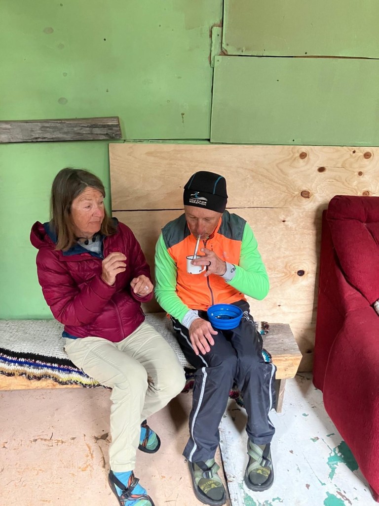
Ralph the elder of “the brothers” made a batch of mate and shared. Mate is a Chilean loose leaf type hot tea sipped through a straw. Ralph taught us the art of mate – do not stir, and when finished, say “gracias” and pass. Don’t say “no”. Despite the look on my face, it’s very good. I taste a lemon flavor. Would def try again!
And in a moment not nearly as special as sharing a mate with the brothers and Tom, the camp kitty caught a mouse and proudly placed the dead creature at my feet while I was making breaky.😂
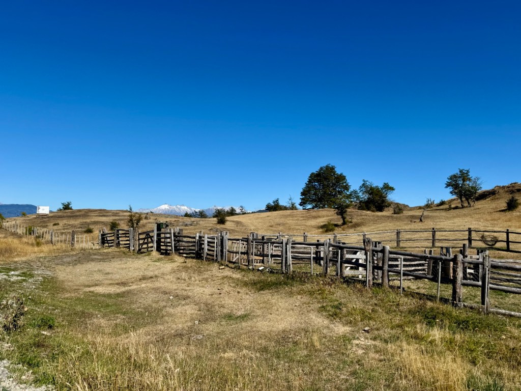
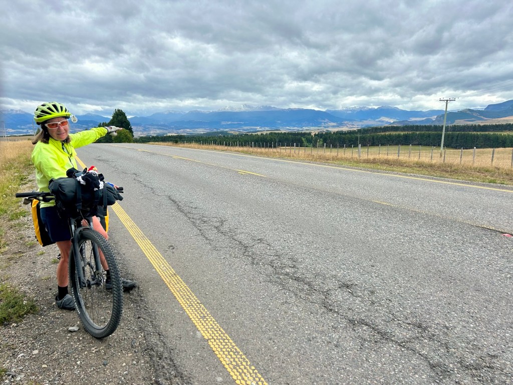
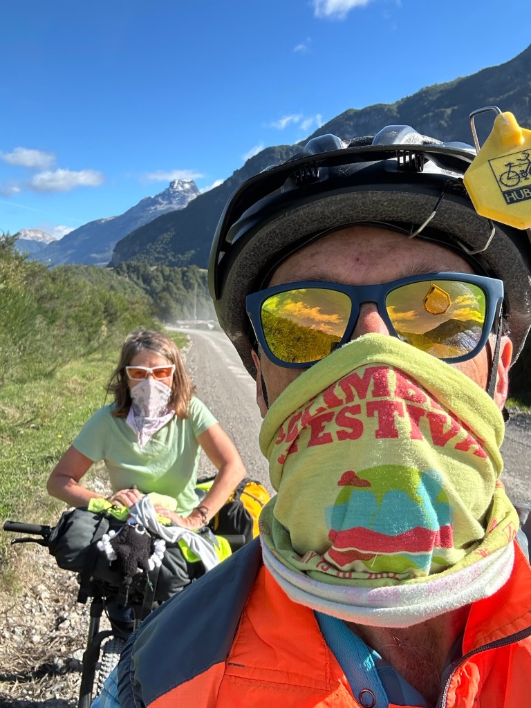
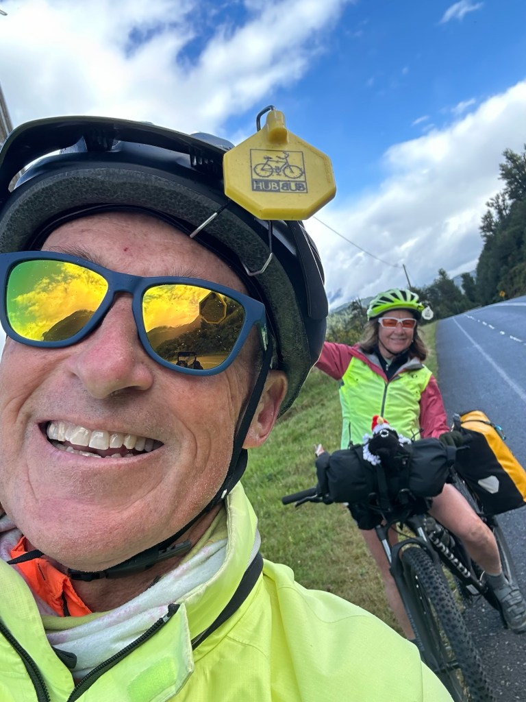
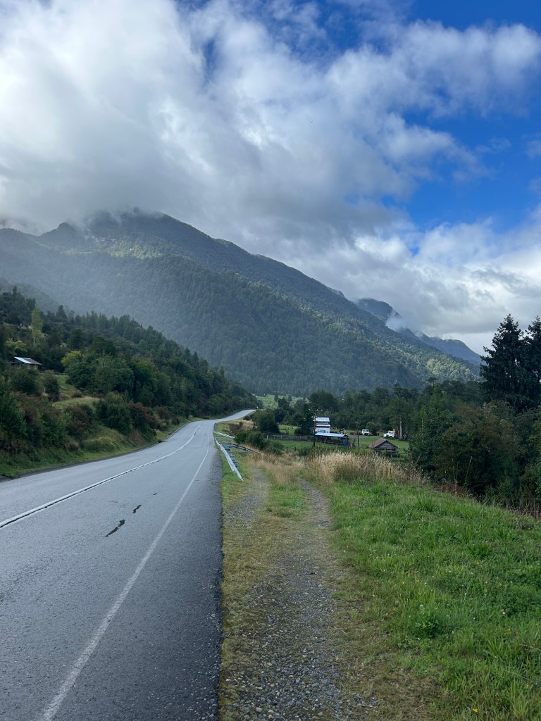
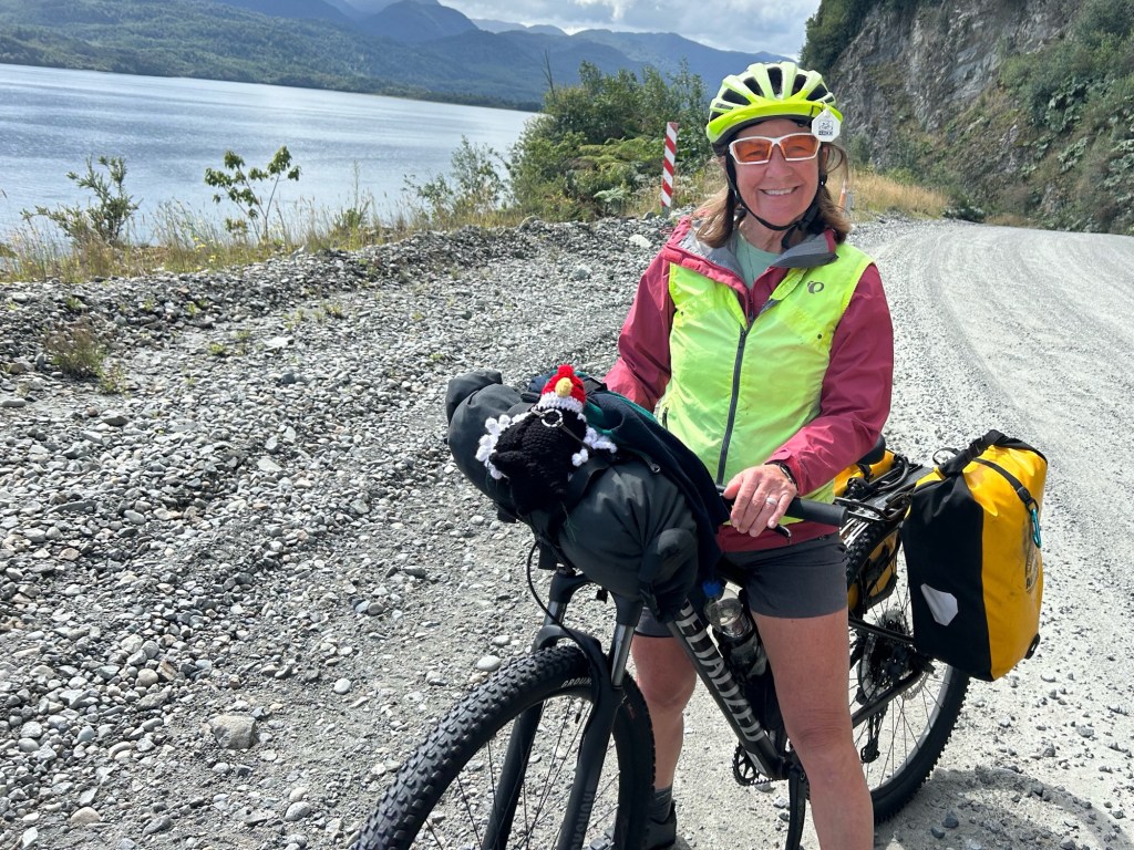
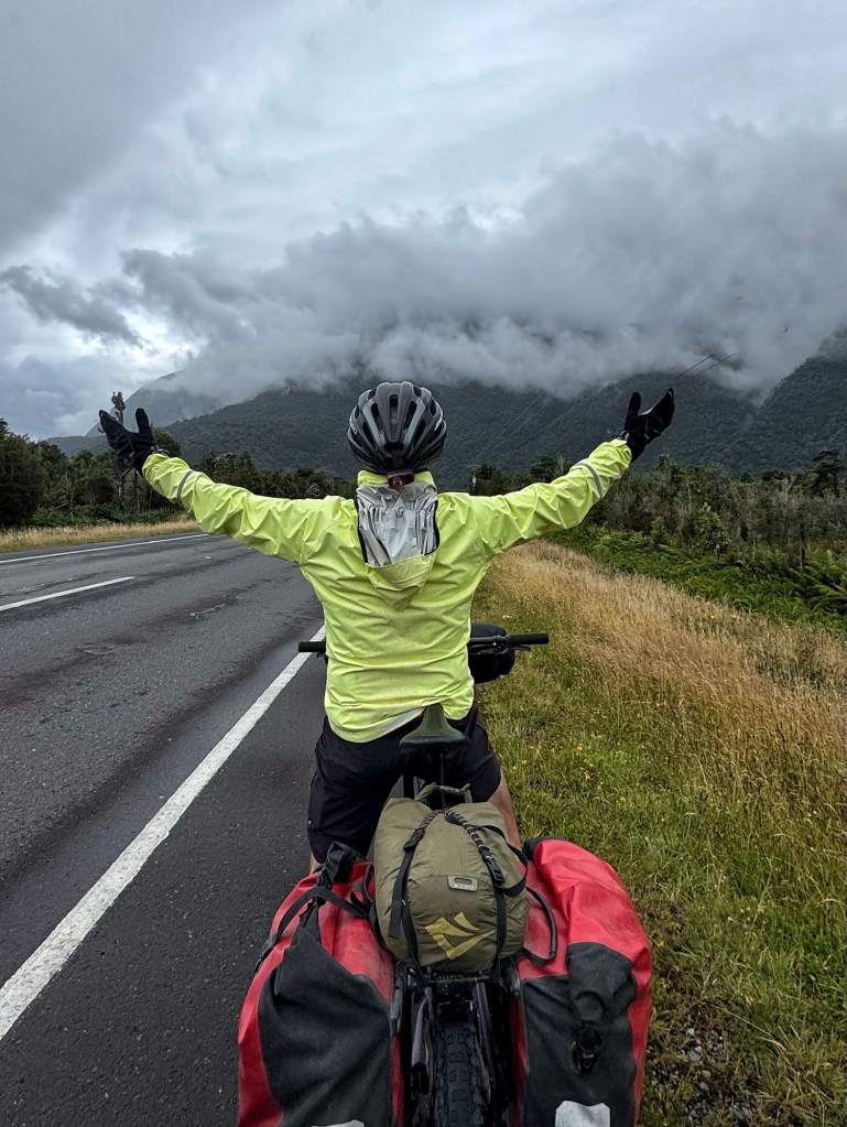
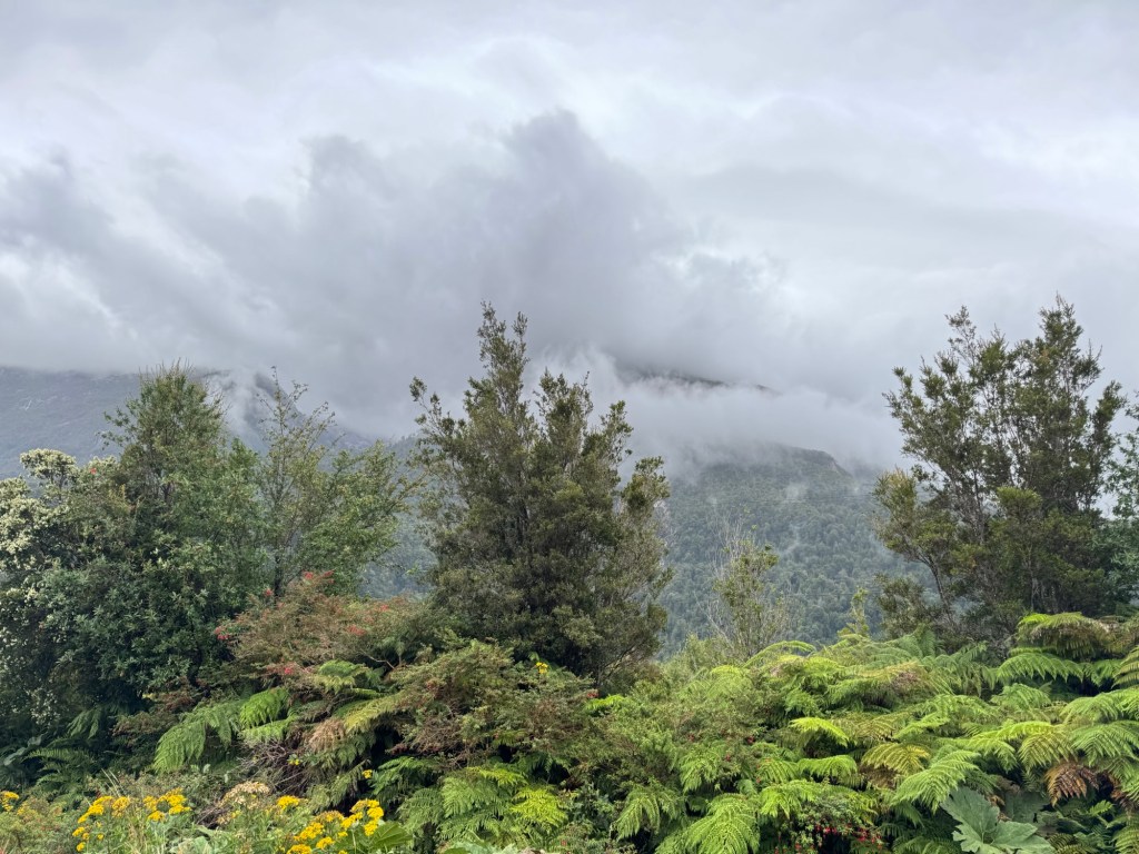
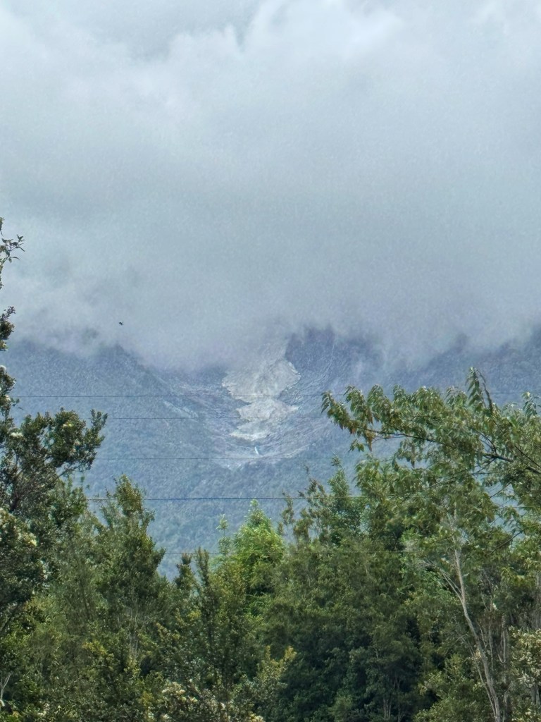
The ride was a bit tough on challenging climbs and rocks but the rain held off. Although we begin each day with prayer, we know it’s the prayers and encouragement from y’all that’s working for us. We give thanks for all of you. 😘
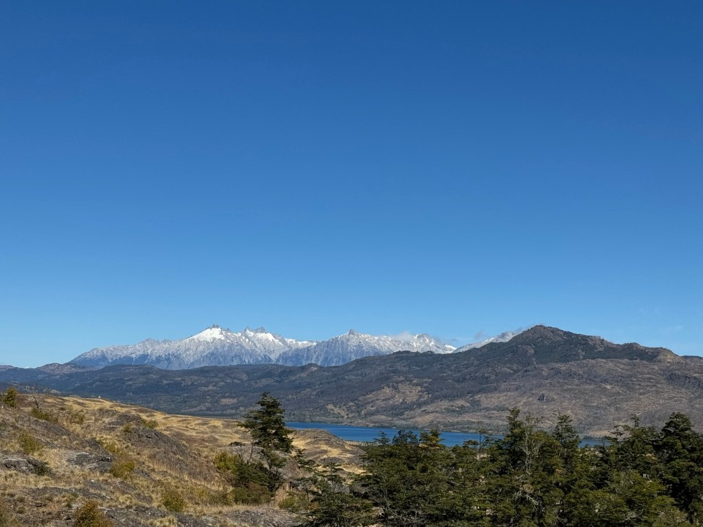
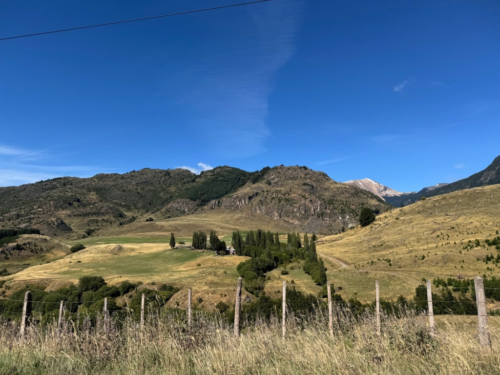
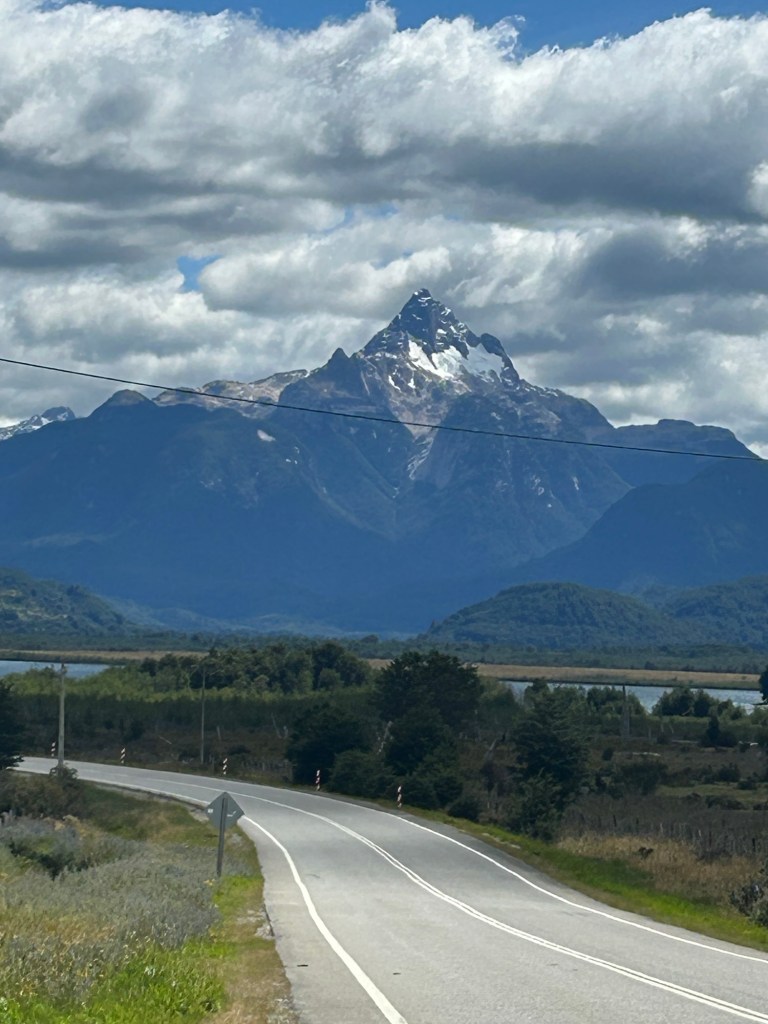
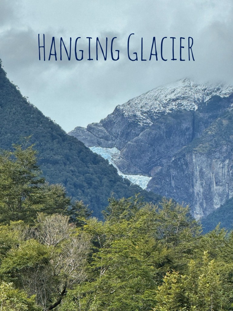
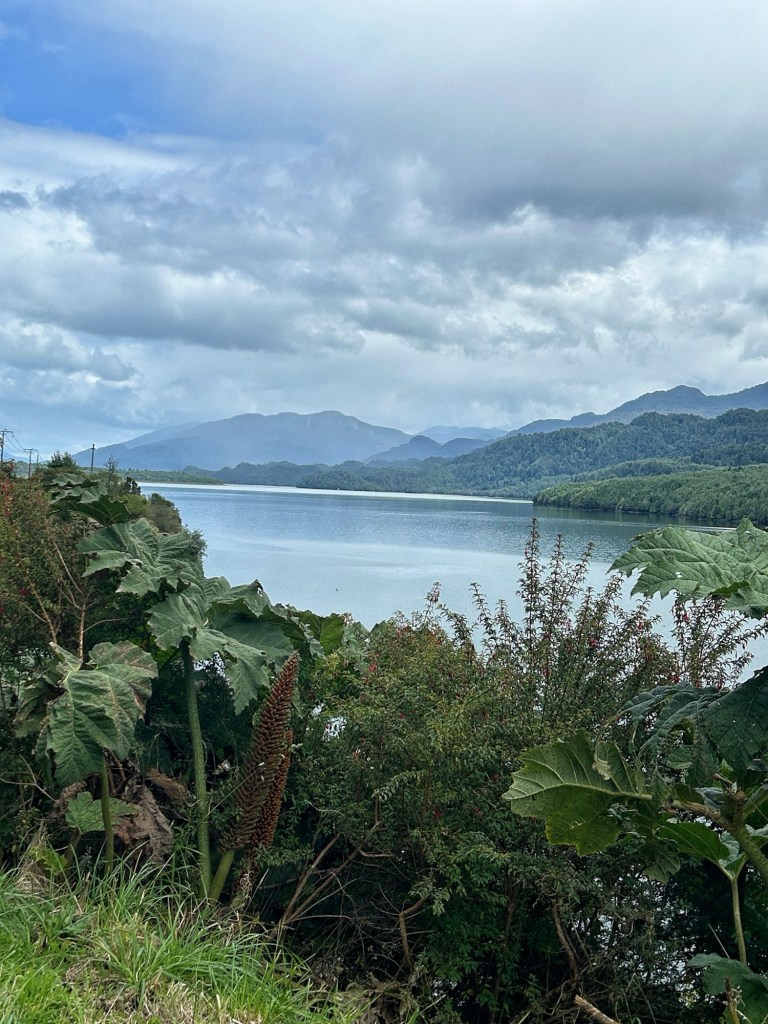
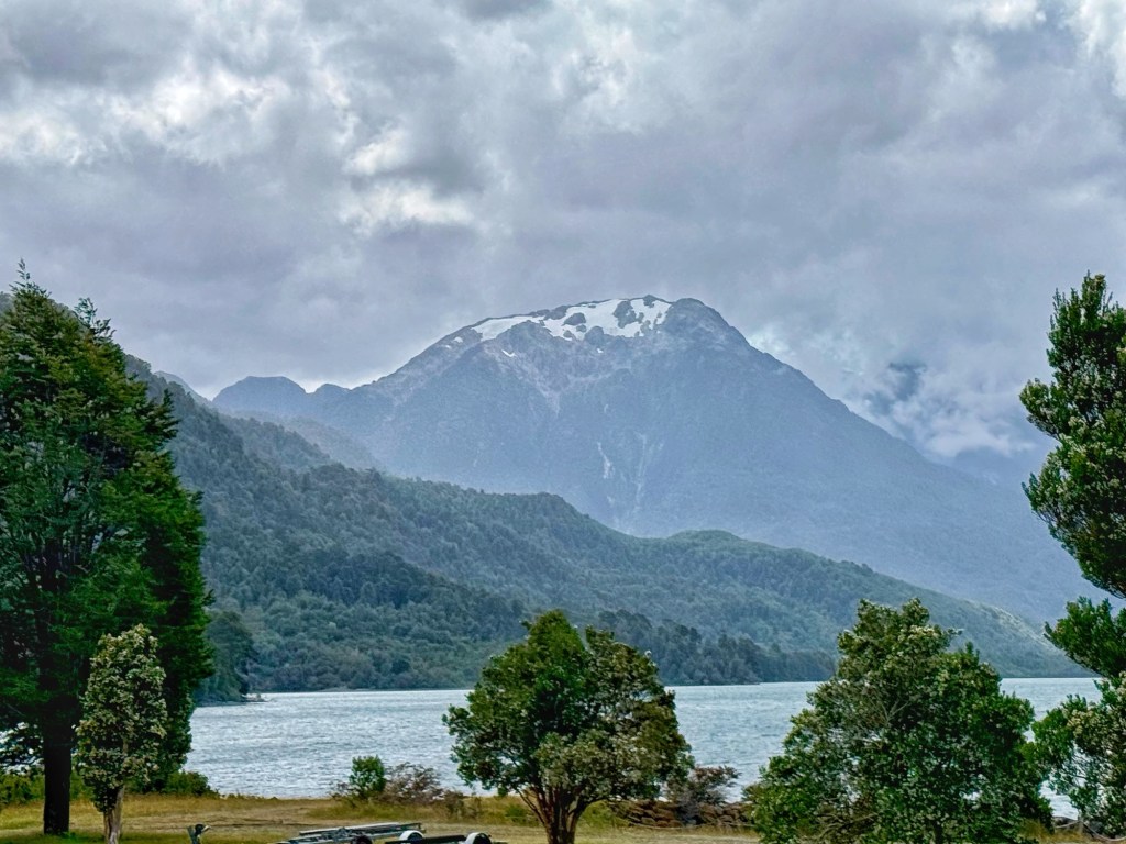
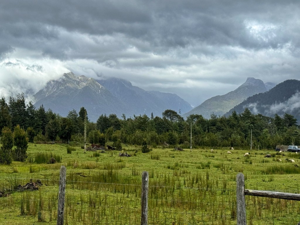
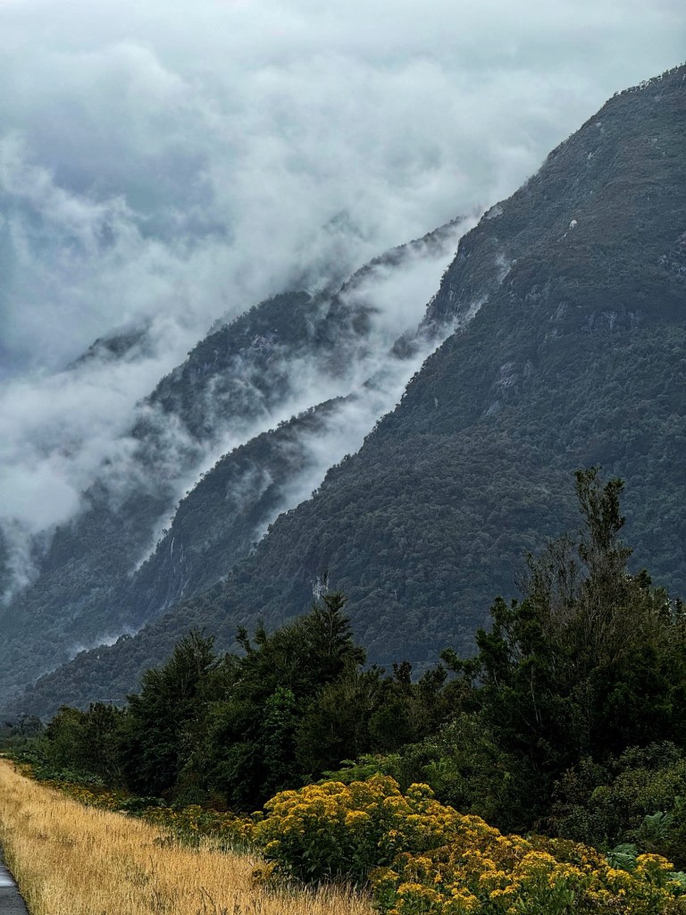
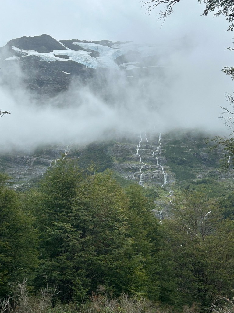
We rolled past waterfall after waterfall as the glaciers melted high above us. The clouds and gray day made it look like the mountains were weeping as streams of water flowed from the snowpack above. They were simply stunning. I’ll never forget it. And the flow of water is so powerful at times, it sounds like ocean waves. If you are in a car or on a motorcycle, you miss that.
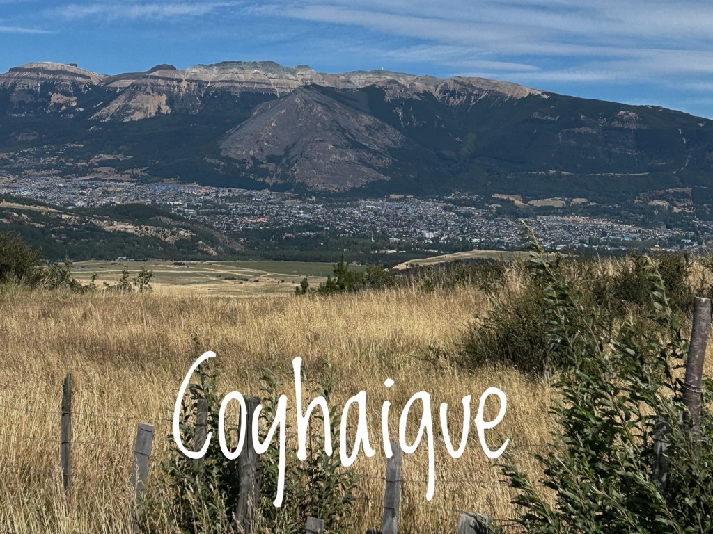
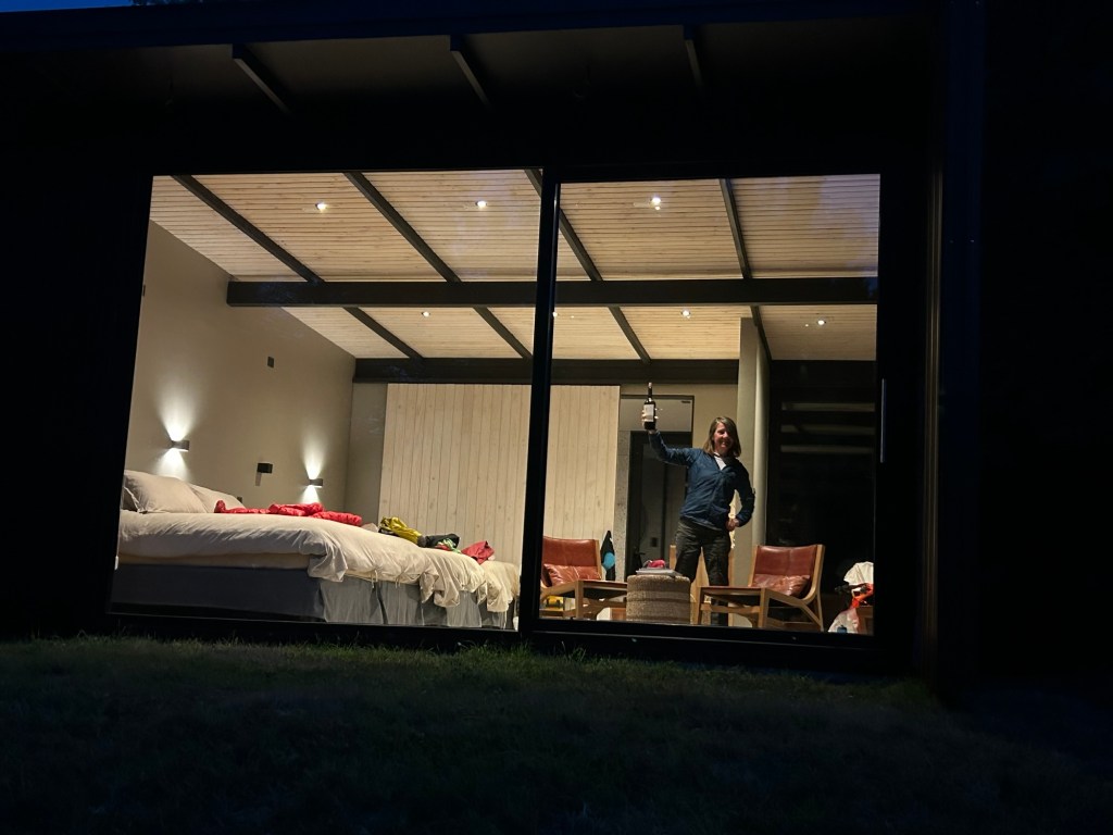
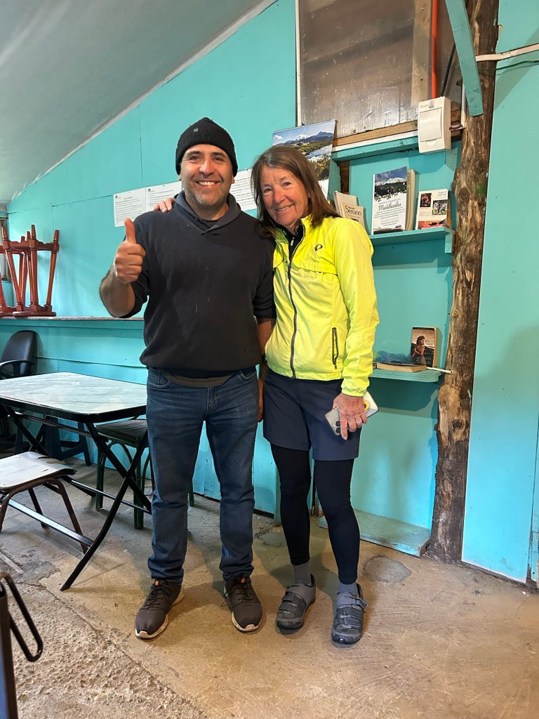
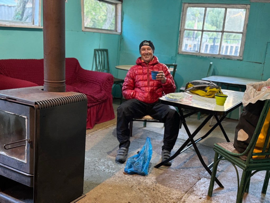
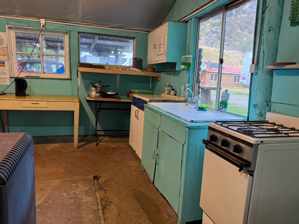
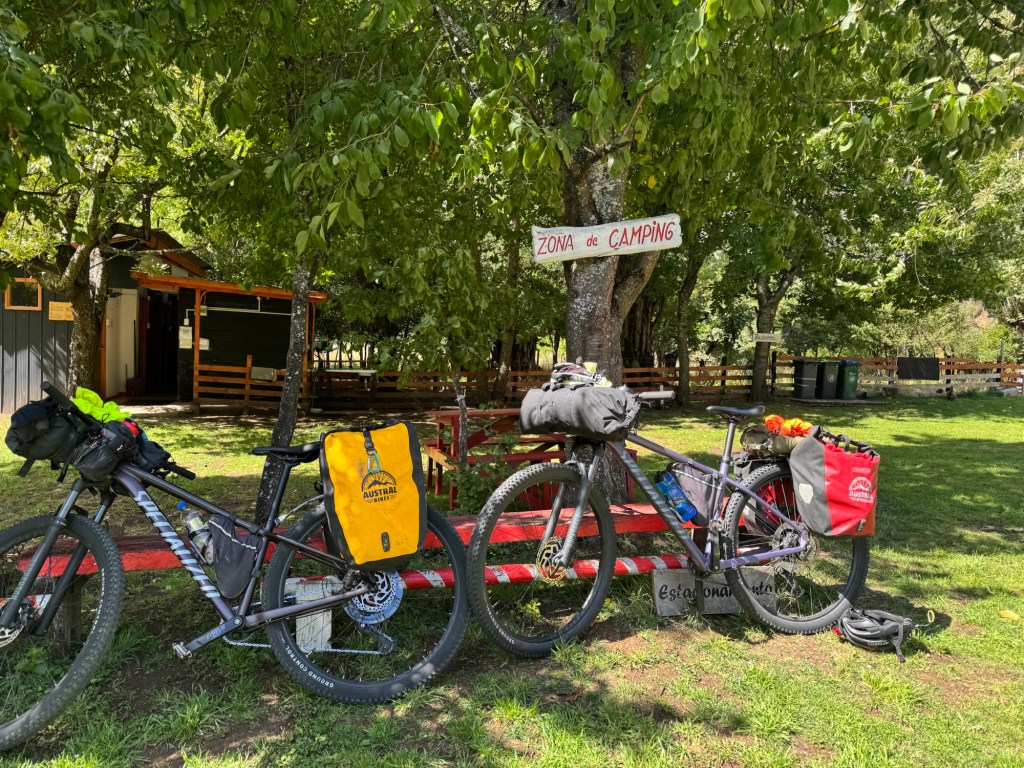
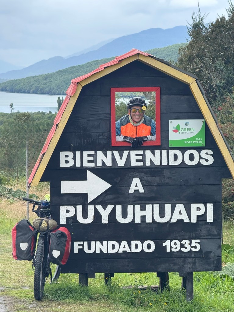
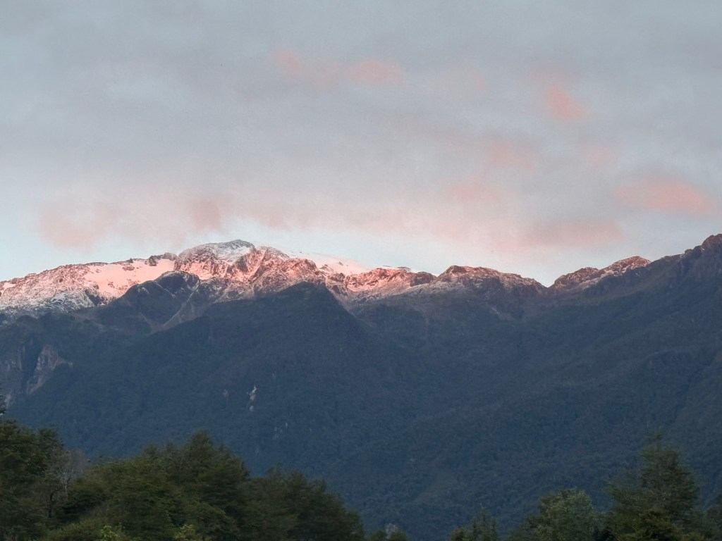
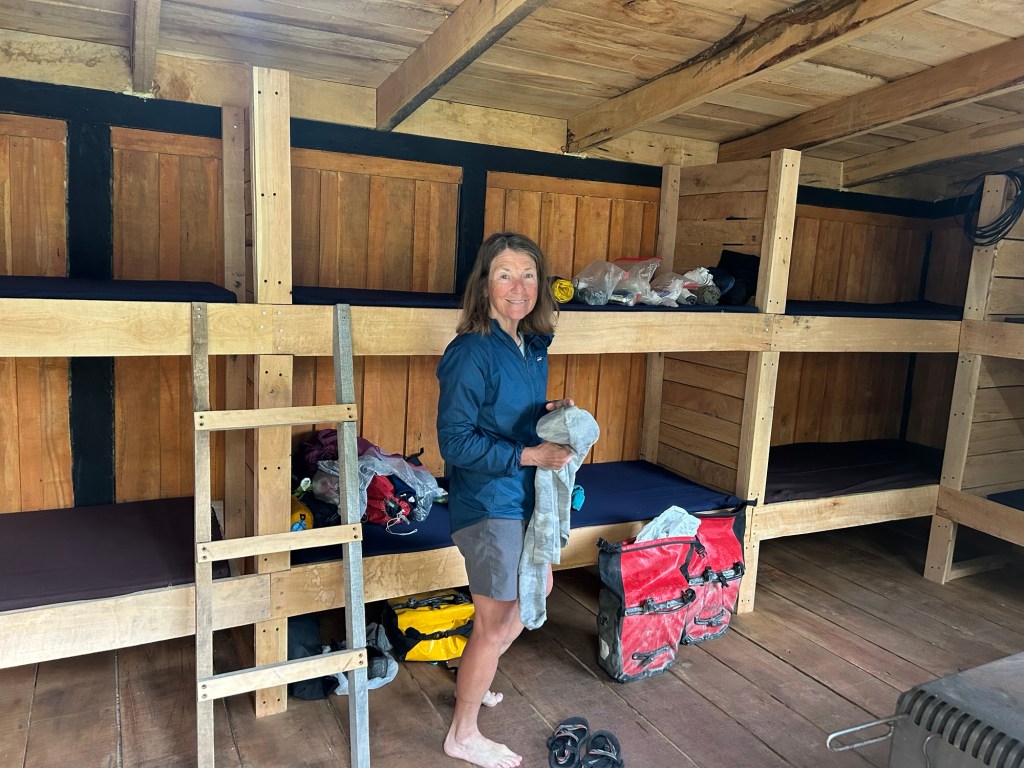
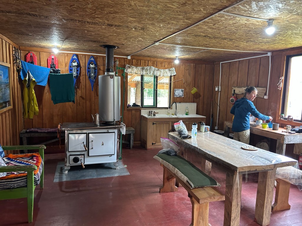
Our last night on the Carretera Austral will be spent in a bunk house in an Eco Camp with an inviting cocina. Perfecto!
Click on the image below to view today’s video: