When we first committed to riding the TA, I thought great! We’ll be visiting the land of the kiwis.🥝
True/not true. Yes, kiwi fruit are grown commercially in NZ but actually grow wild in China, not NZ. Is that how people from NZ got their nickname.
Nope! Apparently there’s a bird, the kiwi, endemic to New Zealand, primarily the South Island. The kiwi is nocturnal, flightless and rarely seen, but beloved by all, particularly the Māori and it is New Zealand’s national bird. Something else to know about the kiwi?
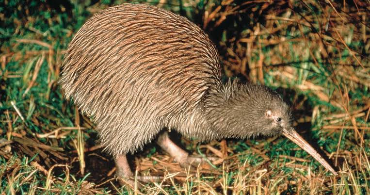
Early in the 20th century in World War I, New Zealand soldiers were commonly referred to as “kiwis” by the Allies and the nickname stuck!
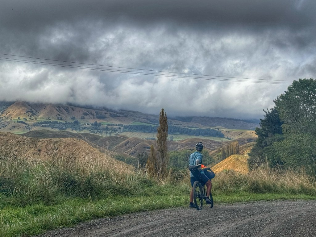
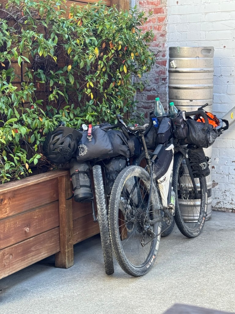
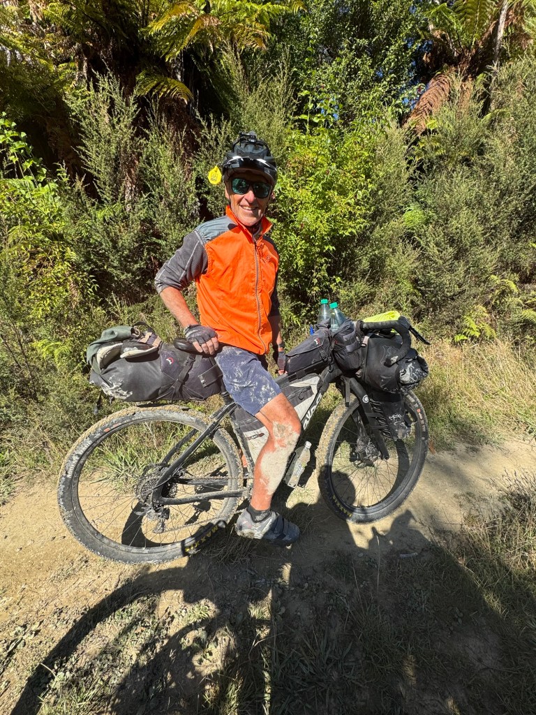
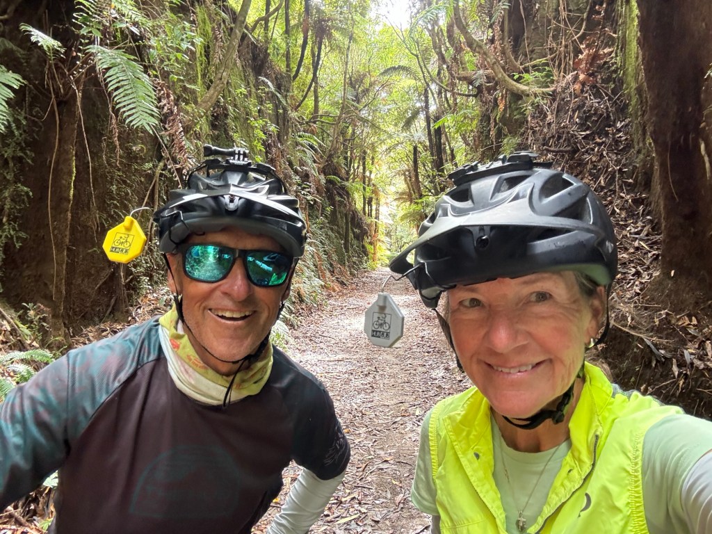
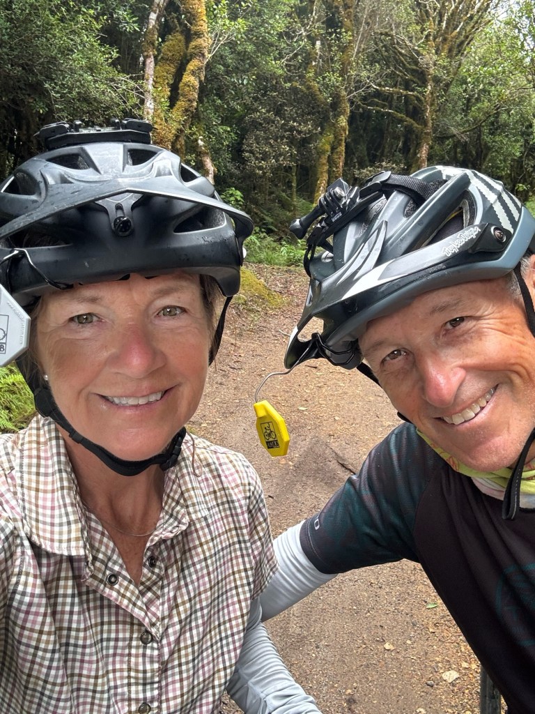
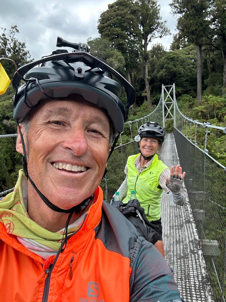
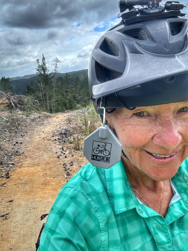
More about today’s ride. 🚵🏻♂️
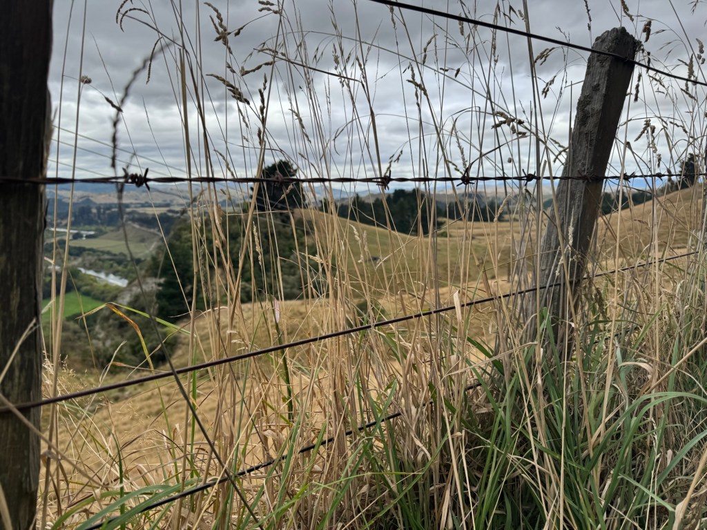
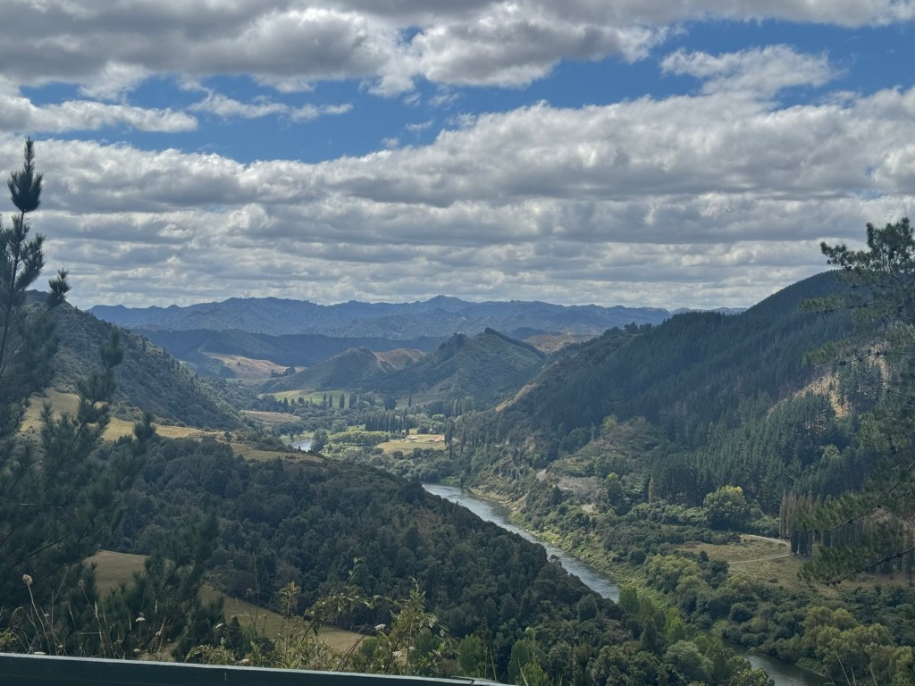
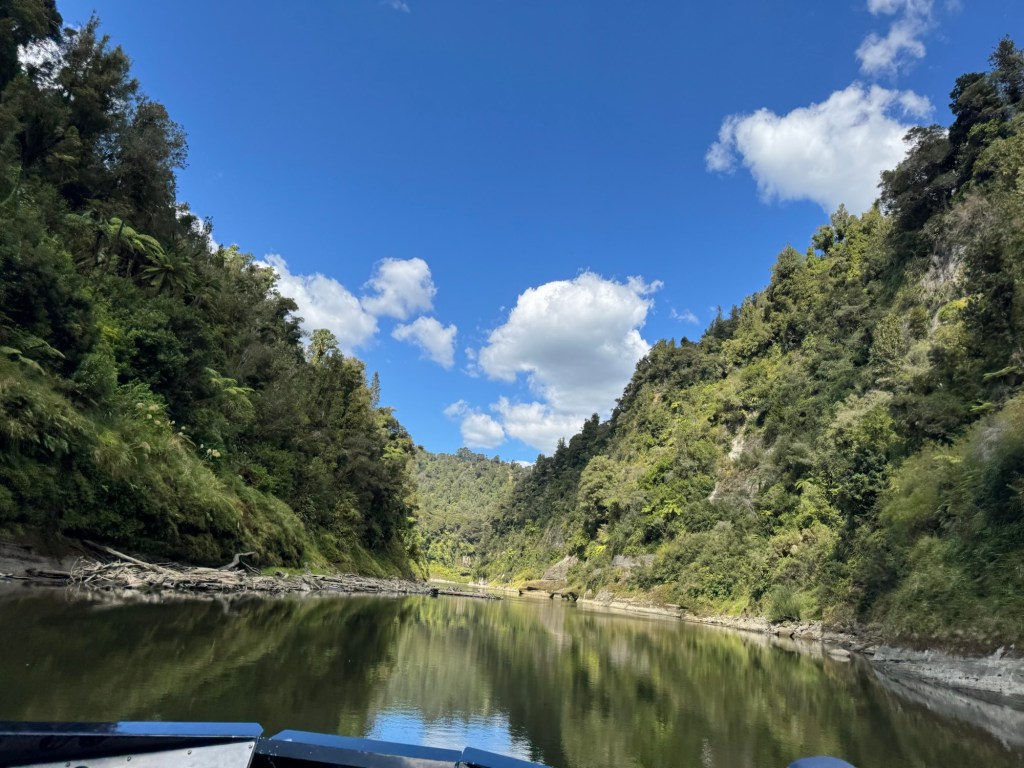
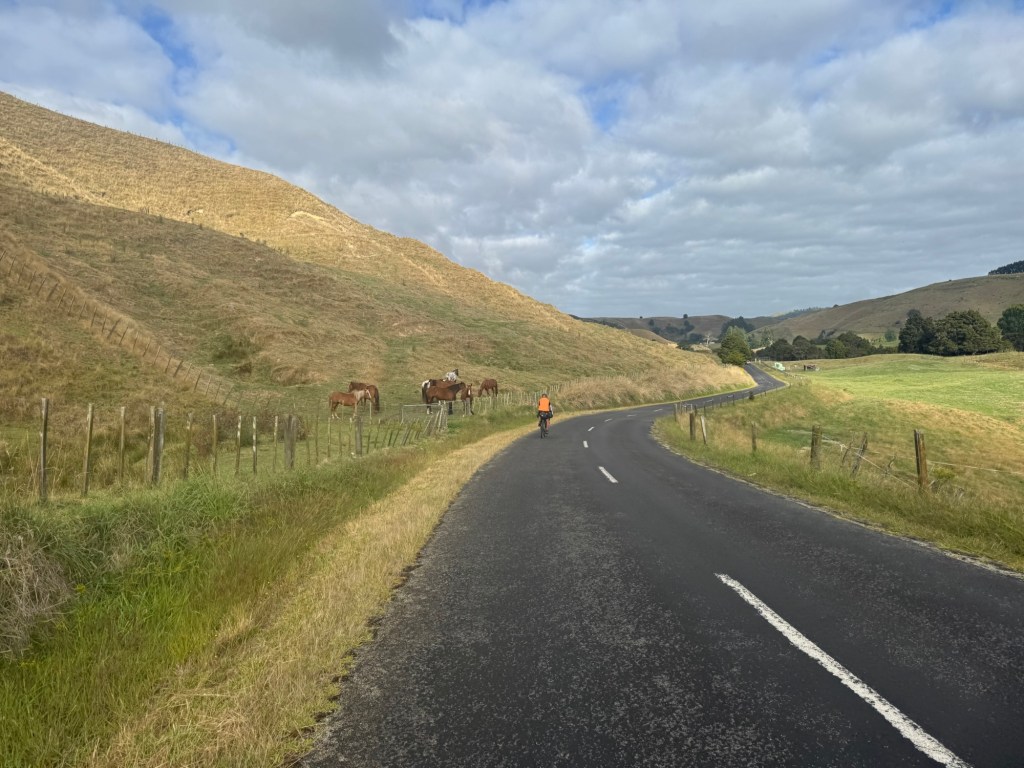
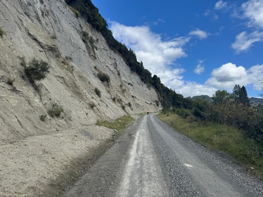
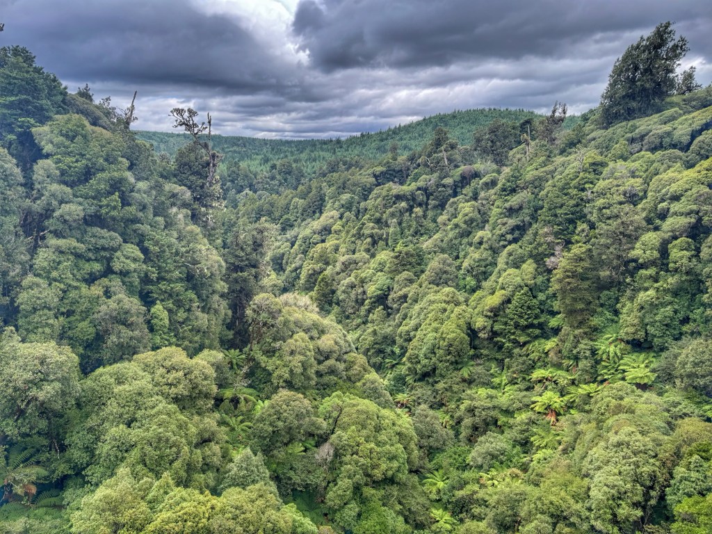
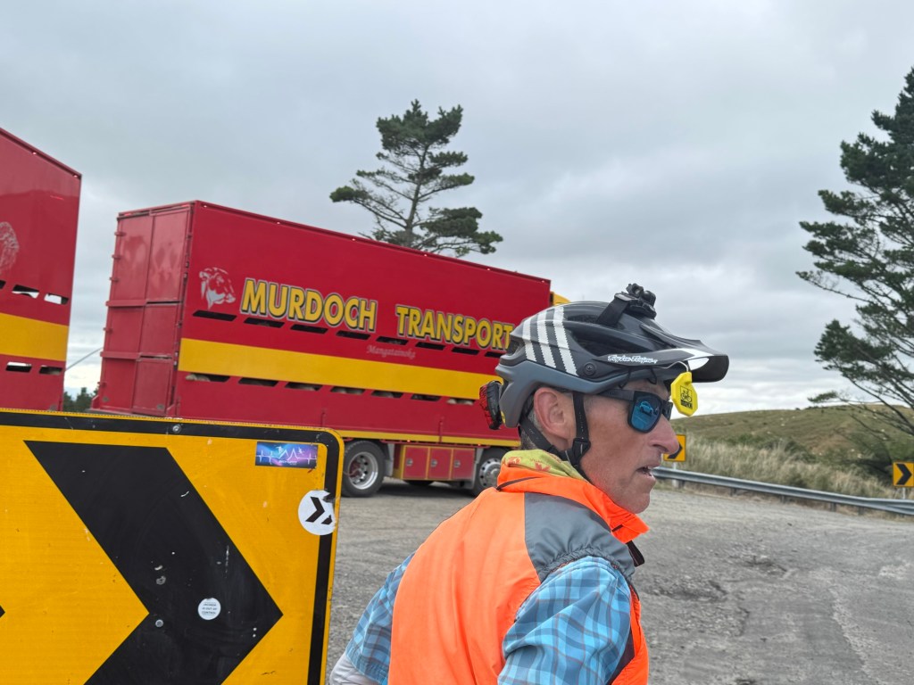
It was our longest yet, and included the most ratchet part of the TA (for us). It was uphill, little shoulder, headwind, and HEAVY two way truck traffic. Apparently there is a road closure elsewhere which caused a traffic diversion that doubled traffic out of Palmerston North. Ouch! Just to give you an idea, see the video below.
Perhaps when you were younger and you faced a decision you thought, “would would my parents want me to do?” Can’t say I did this all the time but I tried. Instead, we were thinking, “What would our kids want us to do?”
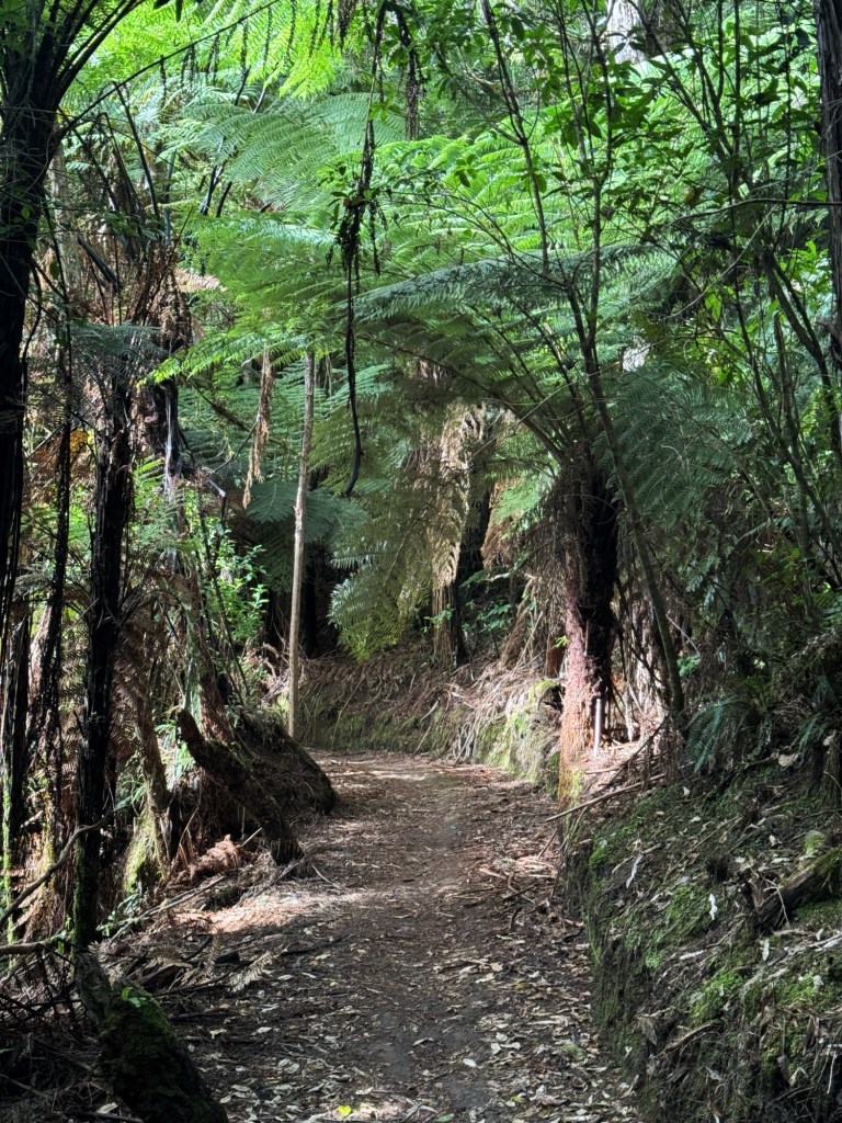
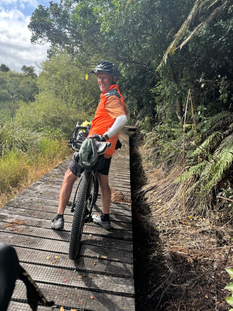
We got off our bikes and walked through the roughest patches while communicating “big trucks back”. Our rear view mirrors are indispensable.
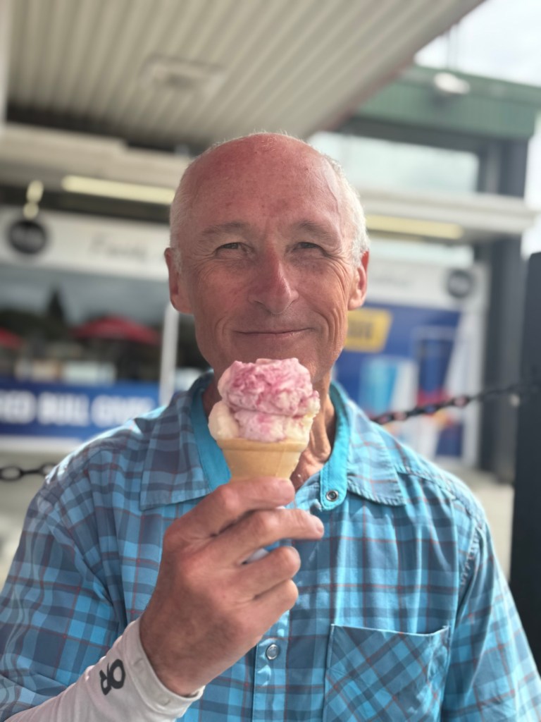
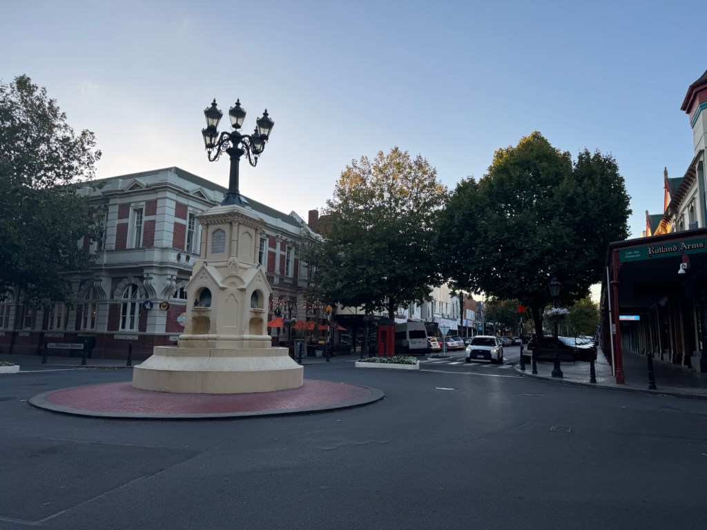
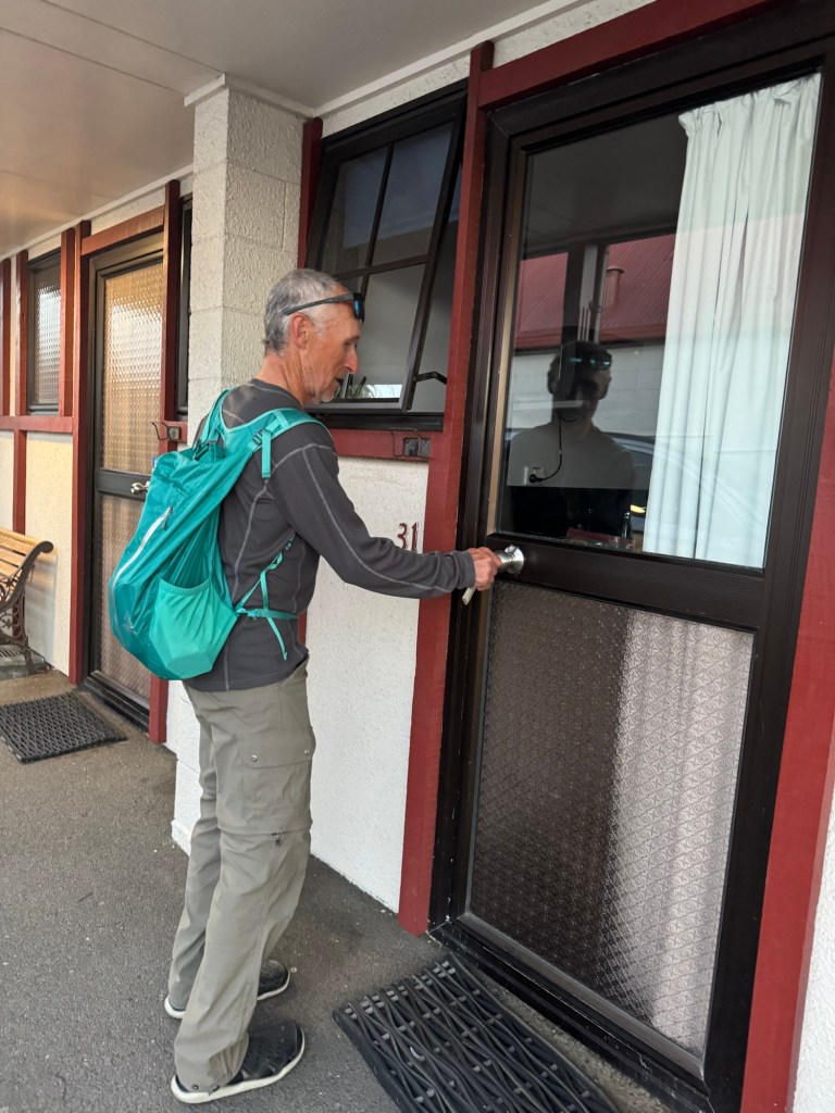
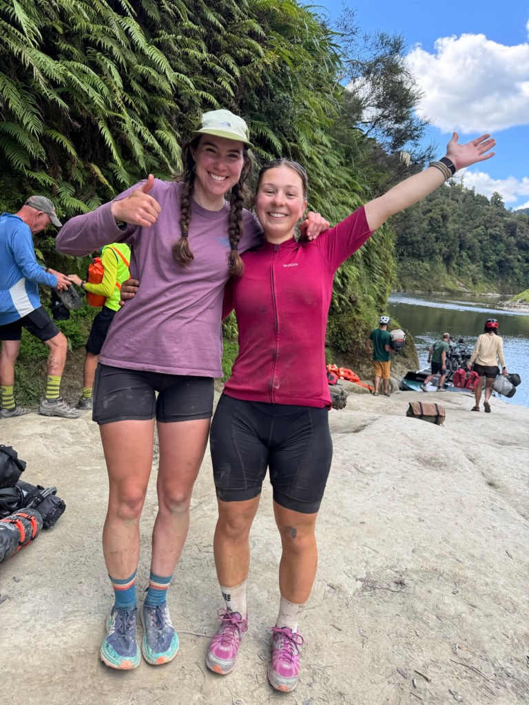
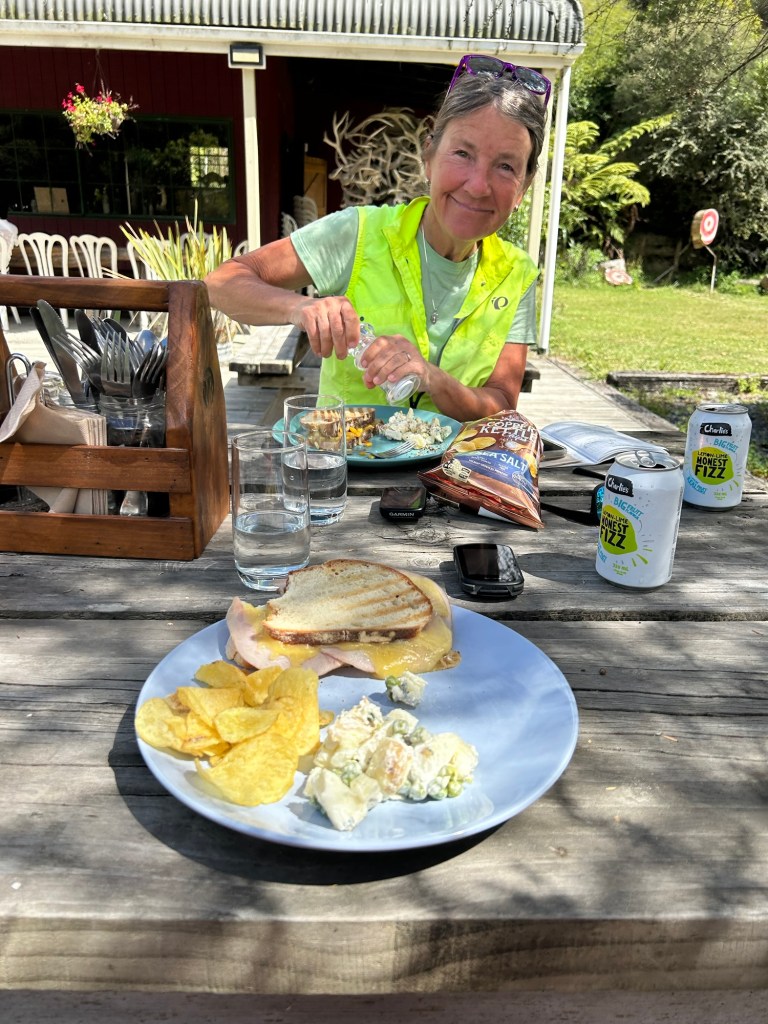
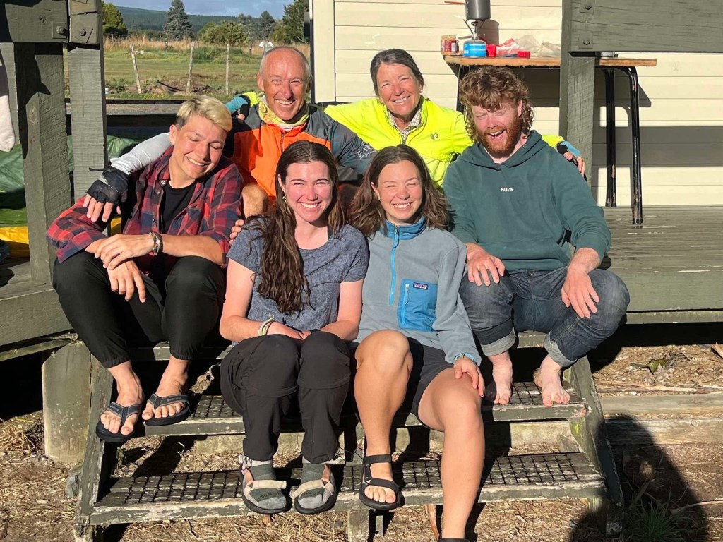
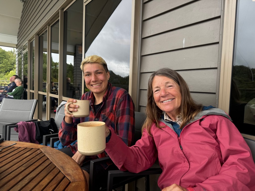
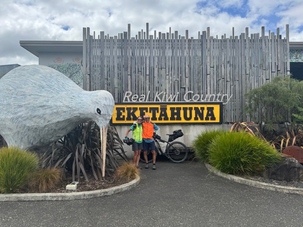
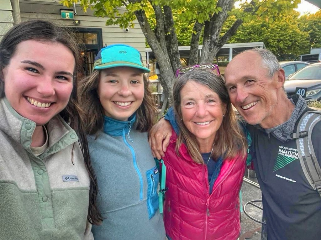
We cranked the middle of the day with a steady pace and arrived in Masterton in time to meet up with Amelia and Sarah for some town food.
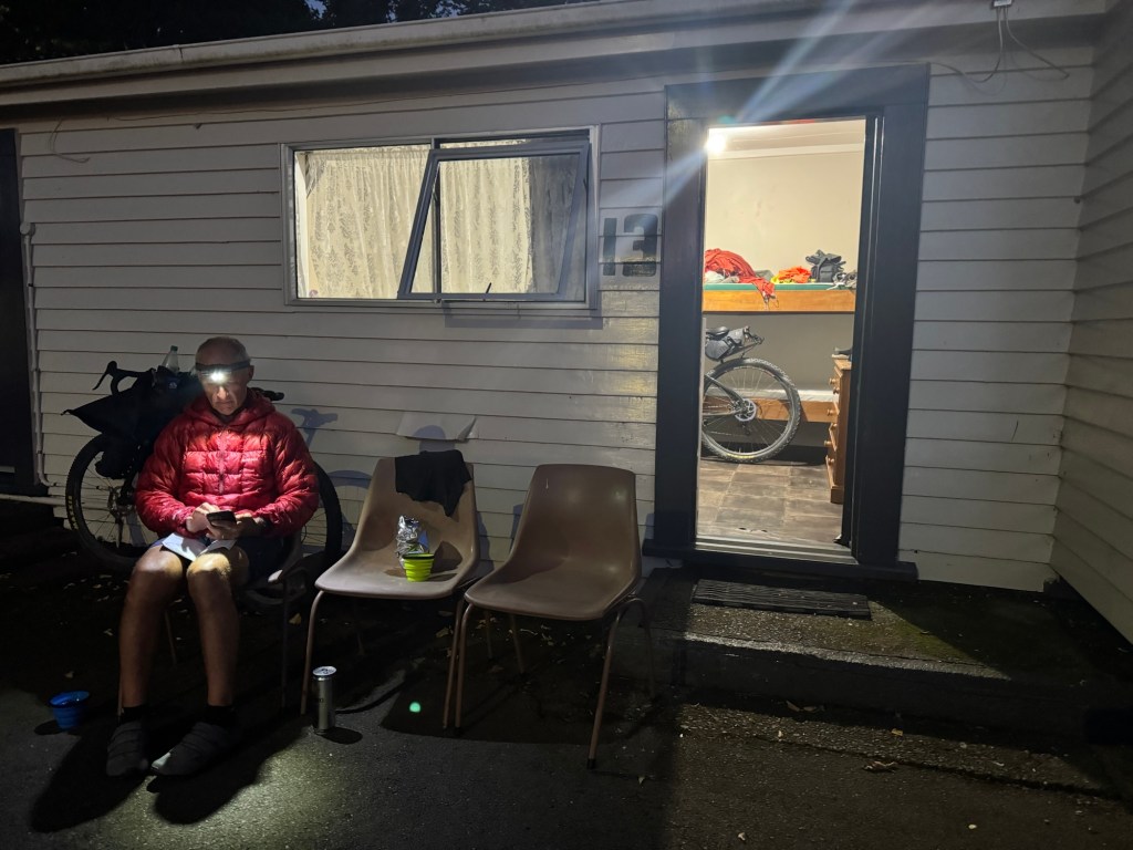
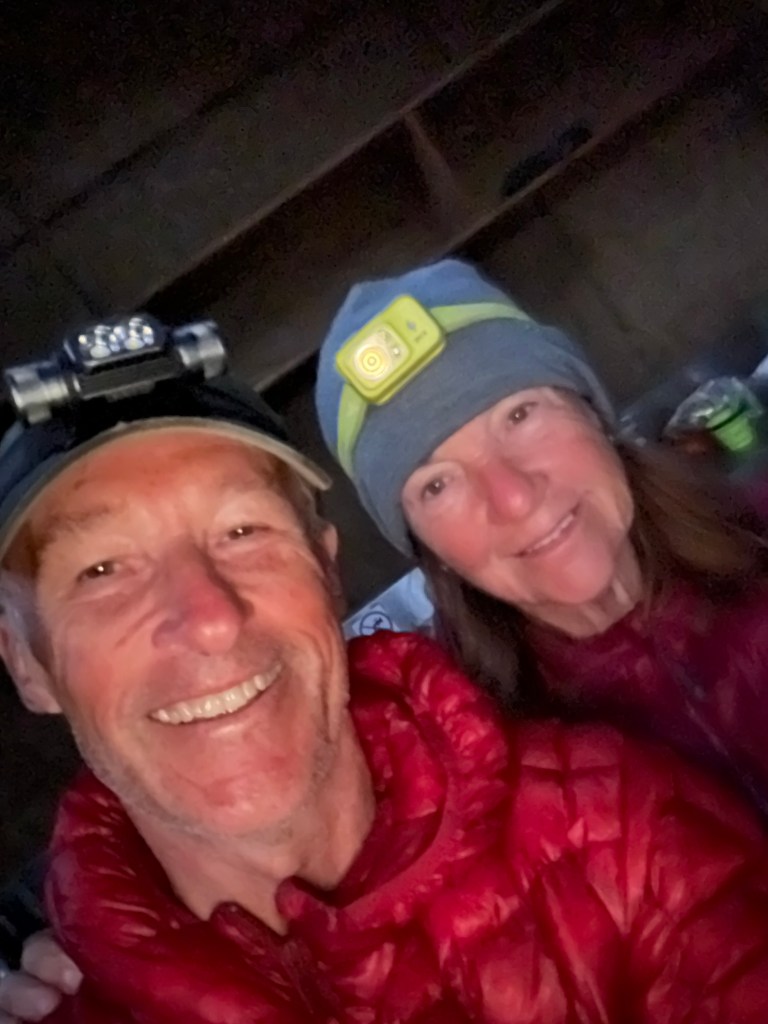
At our campsite, there are several cyclists, who like us, are on their last push to Wellington. We met Katrina (from Scotland) on the ferry from Pouto Point. Every time I meet someone from Scotland, I ask if they know the McVeys, our son-in-law’s family. 🤣
Ummm that would be like meeting someone from South Carolina and asking them if they know one particular family. 🤣
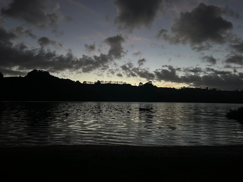
Good night from Masterton…
One more sleep until Welly and a day off!
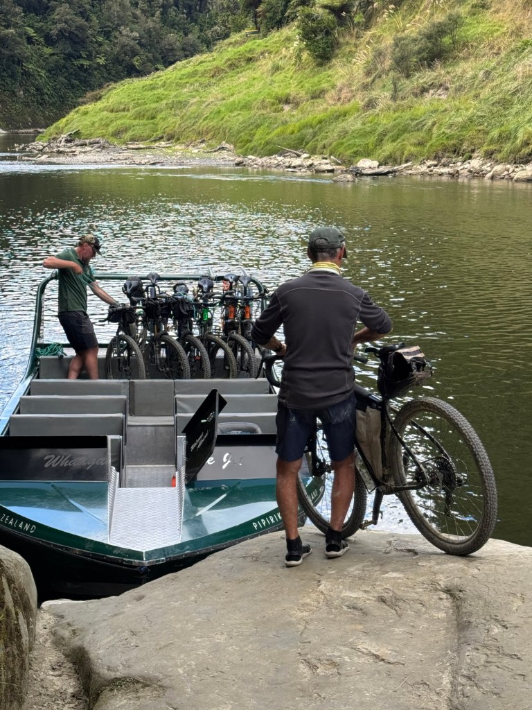
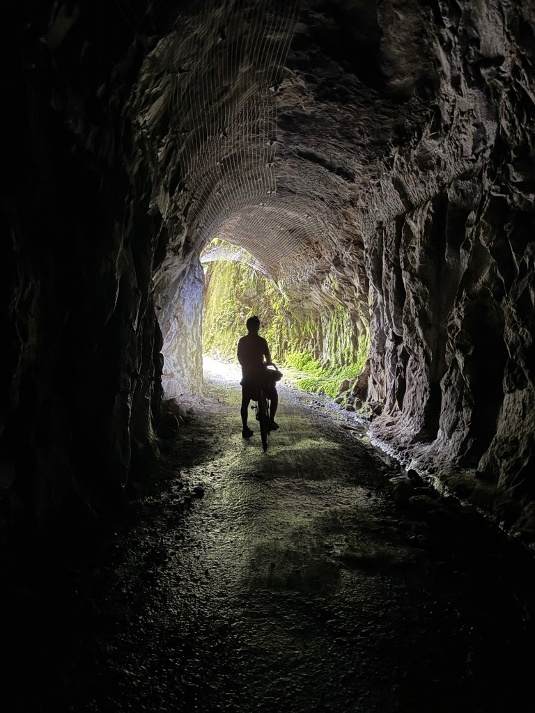
Click on the image below to view today’s video.